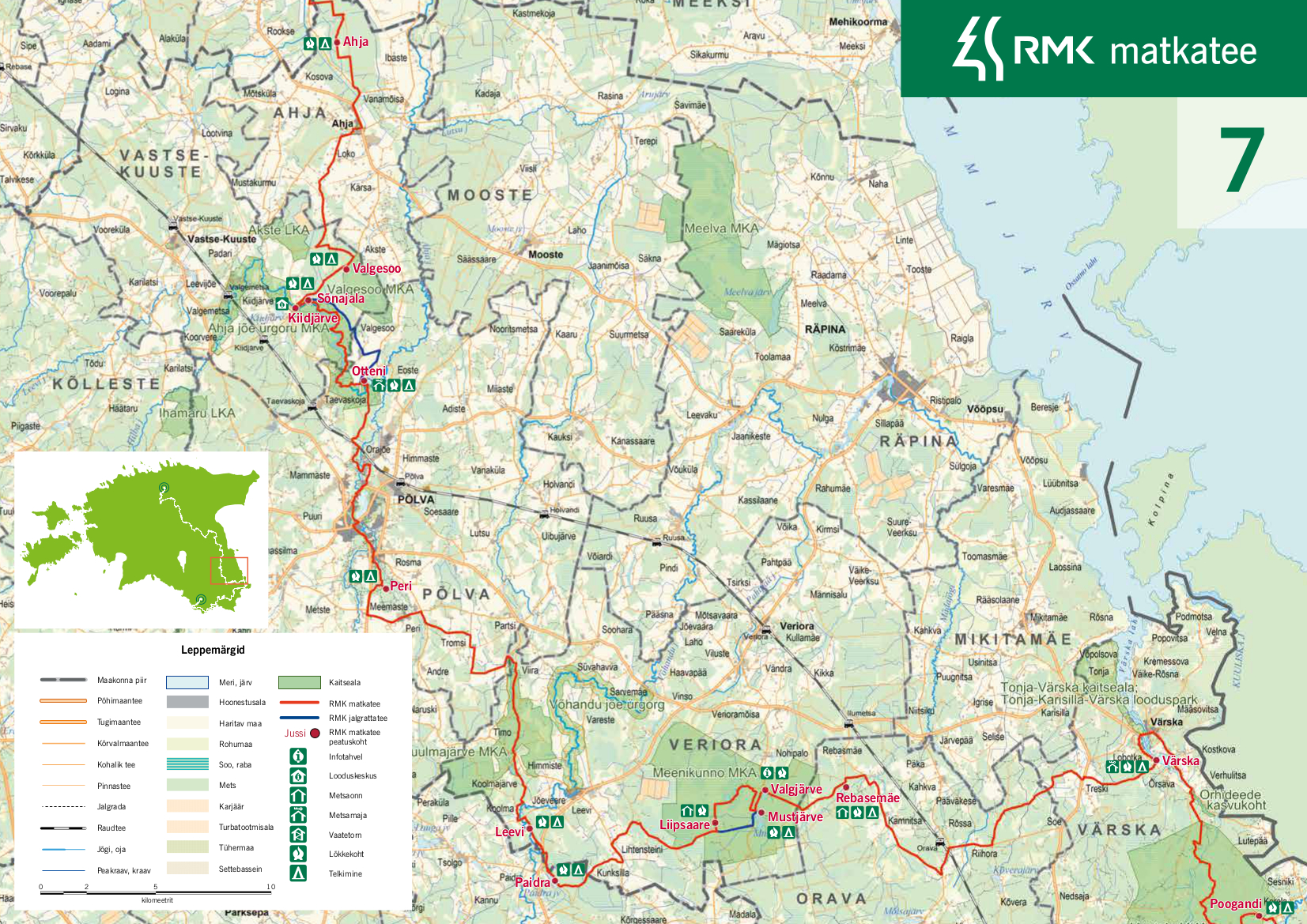
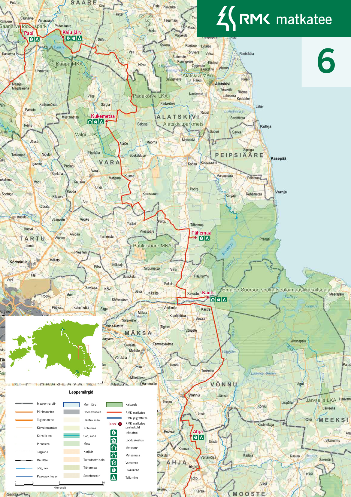
RMK Peraküla-Aegviidu-Ähijärve hiking route / Kantsi-Kiidjärve (44 km)
Põlva County, Kiidjärve-Kooraste Recreation Area
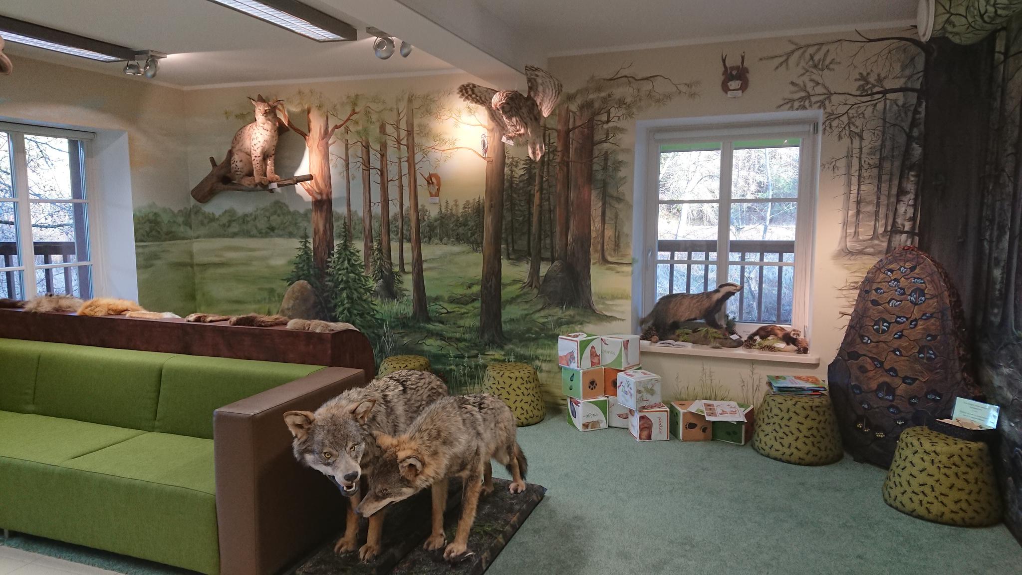
- The information on the paper map of Elistvere-Kantsi, section 8 of the hiking trail, is out of date - there is only a campfire site in Kantsi starting point, the nature center is closed. Consider this when planning your supplies and battery charging.
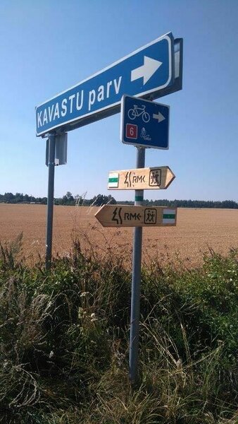
- Kavastu raft schedule in 2024:
May 1 - June 7, Sat-Sun from 10 AM to 6 PM.
June 8 - August 31 Mon-Fri from 10 AM to 6 PM.
In September, Sat-Sun from 10 AM to 6 PM.
Prices:
Raft transfer 15 euros.
Transfer by raft if you crank yourself 10 euros.
Transfer by boat 2 euros. - Late in the evening and at night and outside the summer season, if there is no transfer by raft or boat, the hiker has to take into account about a 20 km round trip from the Räpina road to the Luunja bridge over the Emajõgi and back to the trail route.
- A hiker who has reached the Luunja bridge can also spend the night in the Kastre yacht lodge if necessary (5.3 km from the Kavastu raft trailhead, 58.359886, 27.114233)
At Kavastu you can experience crossing the river Emajõgi on the cable ferry or by boat. That is why you should plan your arrival at Kavastu at the time the ferry operator works: Mo-Su 04.07.2020 - 30.09.2020 9.00-20.00.(phone 372 533 02 611). After long and straight forest road and another road between open fields, hikers arrive at Võnnu, where they can visit the local shop. The trail continues through the forest to Ahja campfire site. Next, there is the village of Ahja, where you can replenish your food supply in the shop or at an Olerex petrol station (open 06.00-22.00), visit the Tuglas Museum, explore the places familiar from the novel "Väike Illimar" by Friedebert Tuglas, or take a look at Ahja manor estate. After leaving Ahja, the trail goes through the village and between fields to Valgesoo campfire site, where it is possible to go to Valgesoo study trail. Next from Valgesoo, the hiking route continues along a gravel road to Kiidjärve Visitor Centre on the bank of the Ahja river.
| Phone | +372 676 7122 |
|
info.kiidjarve@rmk.ee | |
| Type of object | Hiking trail |
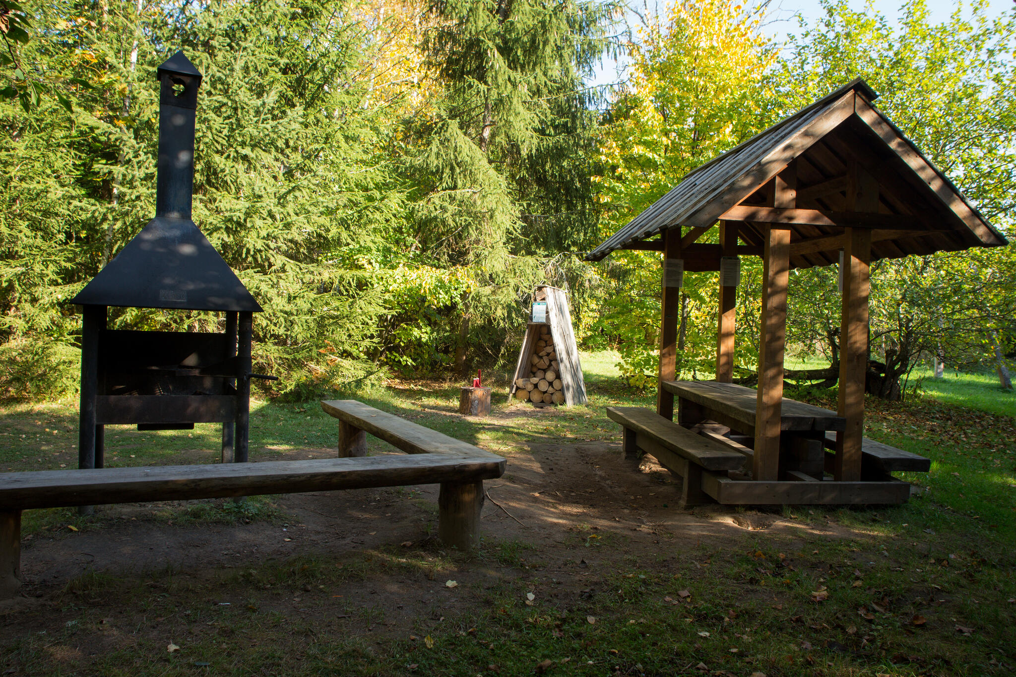
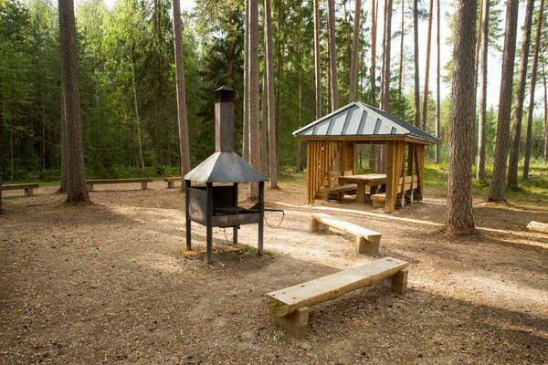
| Parking facilities | For long-term parking it is convenient to use the parking area at Kantsi campfire site or Kiidjärve Visitor Centre. In addition, parking is available at most campfire sites on this section of the hiking route. |
| Amenities | The trail is marked with white-green-white blazes, hiking trail signs and hiking route boards. The rest stops on this section of the hiking route and distances between them:
|
| Camping facilities |
Tent camping at Kantsi, Ahja and Valgesoo campfire sites. |
| Outdoor fireplace | yes |
| Campfire site | yes |
| Water |
Please note that there is no water available near Kantsi, Ahja and Valgesoo campfire sites. Water is available in Kiidjärve Visitor Centre during the opening hours. |
| Hiking options |
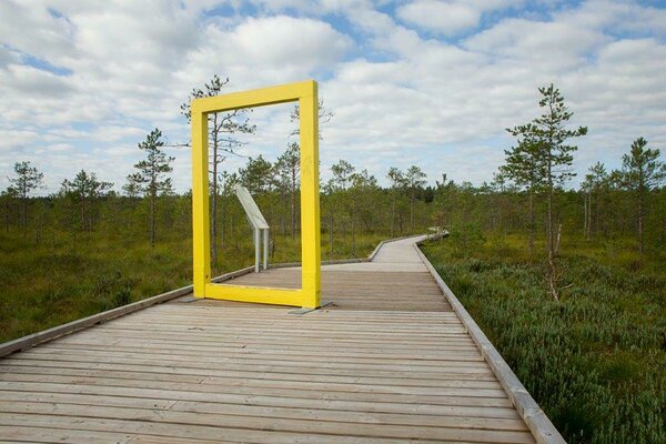
In addition to the hiking route, it is possible to complete the 2 km Valgesoo study trail. |
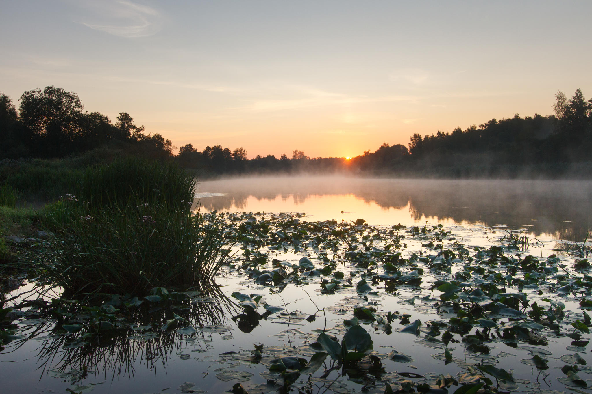
| Sights | The sights in this section of the hiking route are the river Suur-Emajõgi, which can be crossed either by cable ferry or boat, Ahja manor and Valgesoo bog. |
| Additional information |
Before going on a nature walk please read the Environmental code of conduct (freedom to roam), rules of conduct and waste-sorting policy
|
| Restrictions | On the hiking route one should not forget that camping and making a fire is allowed only at places designated for those purposes. |
| Location | The hiking trail is in Luunja and Kastre municipalities in Tartu County and in Põlva
municipalities in Põlva County. |
| Driving directions | On Tartu-Räpina road drive 8 km and turn left (follow the sign "Kavastu"). Drive on 10 km. Cross the intersection, now it is 3 km gravel road to the parking. Park before the gate. The campfire site is on the right from the road 100 m from the gate. |
Click on the map to open and download a pdf version.