Rebastemäe study trail (1.5 km)
Hiiumaa, Hiiumaa Recreation Area
The
trail is situated in the oldest and highest place in the entire western
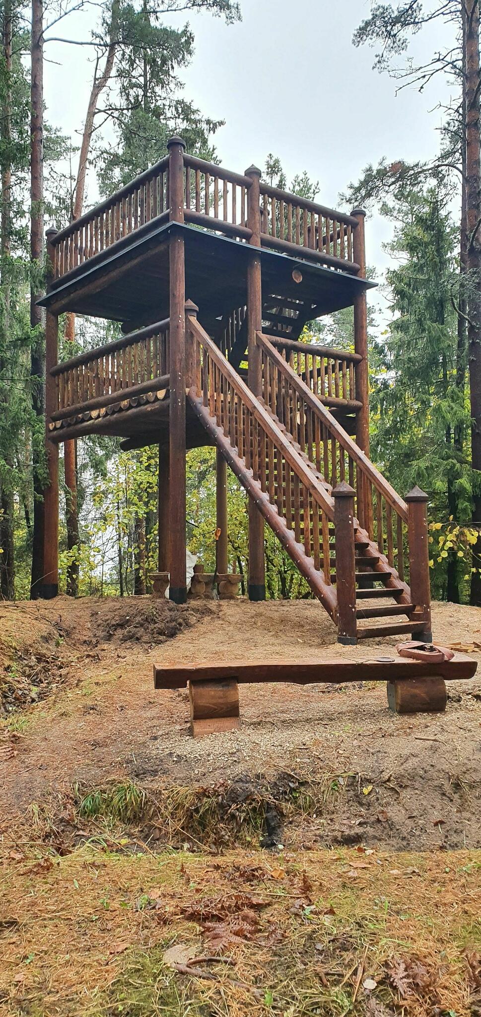
Estonia, on the Kõpu peninsula. Scenic views over the forests and the sea open
up from observation towers on the hills of Kaplimägi, the second highest peak
(63.5 m) on the Hiiumaa Island, and Rebastemägi.
| Phone | +372 676 7111 |
|
info.ristna@rmk.ee
| |
| Type of object | Study trail |
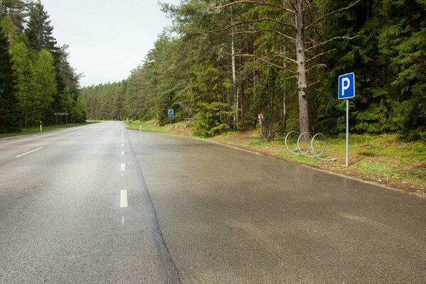
| Parking facilities | The
start of the trail is accessible by any form of transportation. Parking on the
state road, in designated parking spaces. |
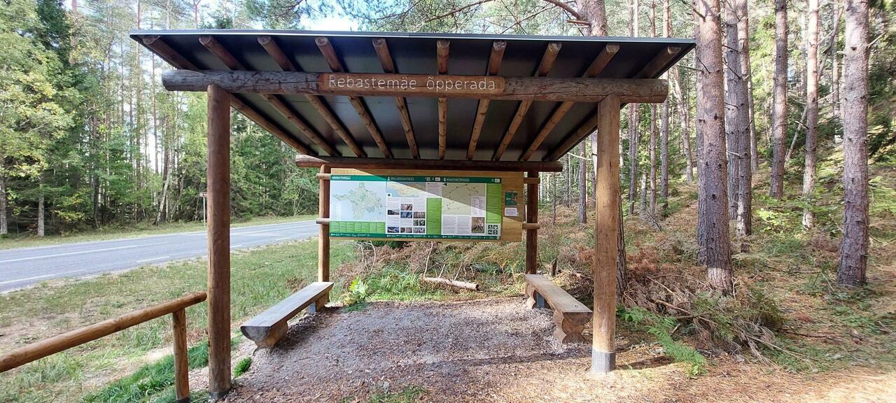
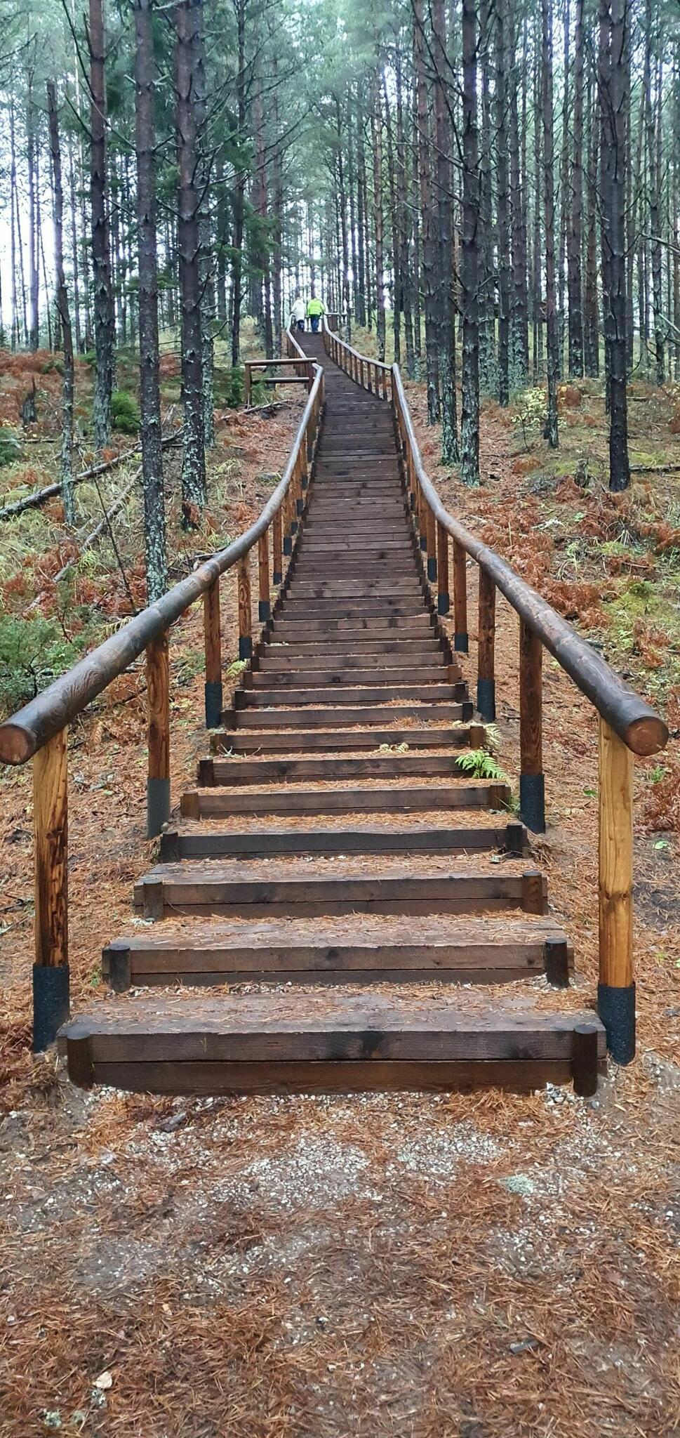
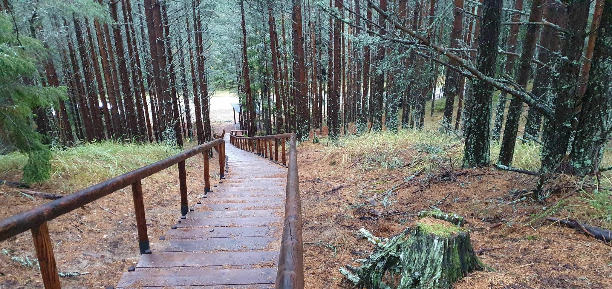
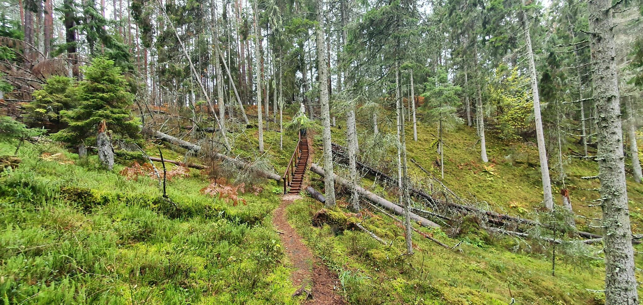
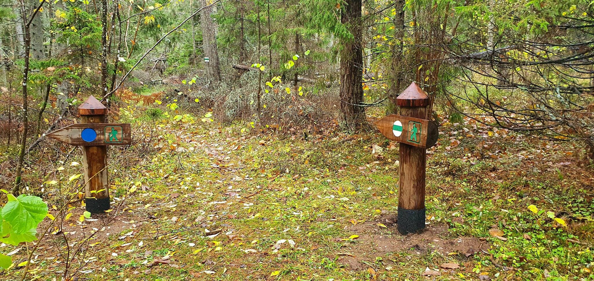
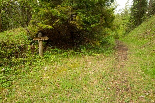
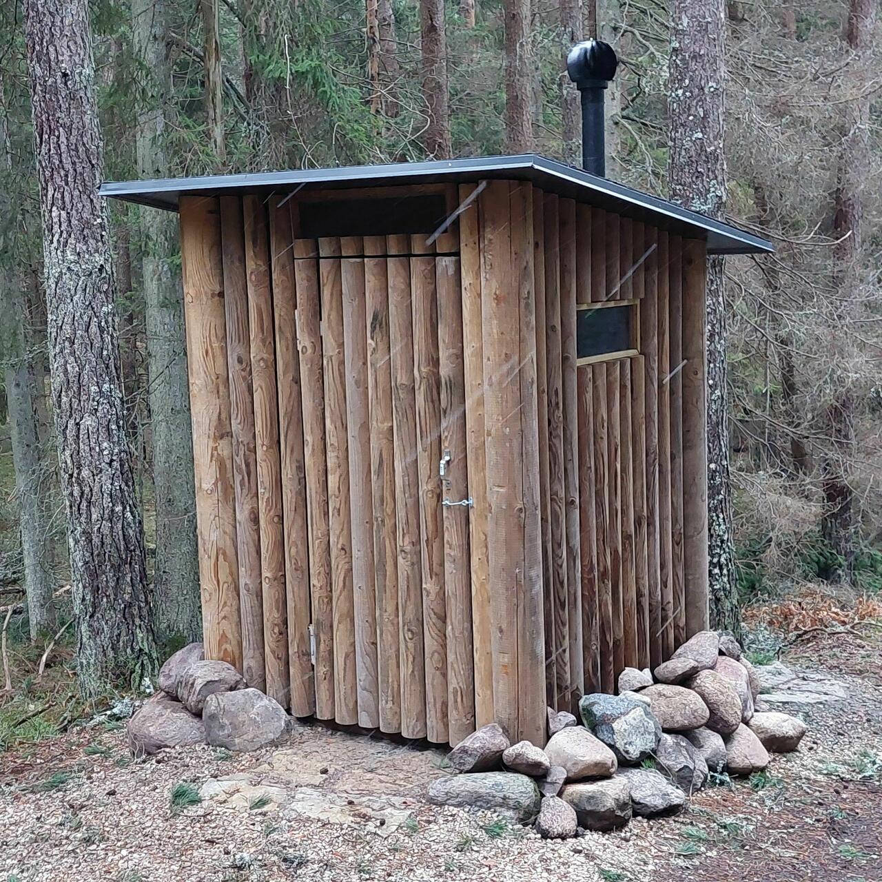
| Amenities | 8
small information boards in Estonian and English throughout the trail, a large
information board introducing the nature reserve at the start of the trail. The
trail is marked by wooden arrow signs and blue marking ribbons. There are
several steps along the trail and 2 observation platforms. |
| Hiking options | yes |
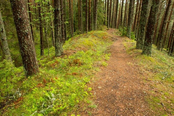
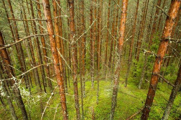
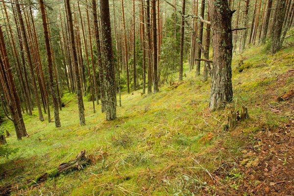
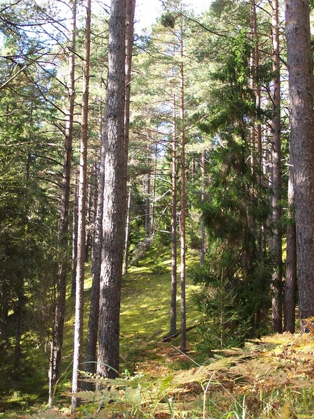
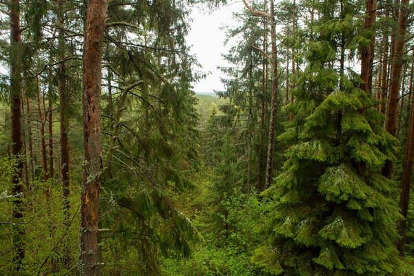
| Sights | The hiker
is greeted by heath pine forest, under-terrace nemoral forest of rich
biodiversity, a natural old spruce grove with storm damage. The trail is
situated in the oldest and highest area in the entire western Estonia, on the
Kõpu peninsula, which only 8,000 years ago was a tiny islet of one square
kilometre in the middle of the open sea. In the spruce grove you can find an
evergreen subshrub, Linnaea borealis, commonly known as twinflower. On
Kaplimägi, the second highest peak (63.5 m) on Hiiumaa Island, you can get
acquainted with popular lore about the local chapel. |
| Berries and mushrooms | Bilberries, mushrooms |
| Additional information |
Before going on a nature walk please read the Environmental code of conduct (freedom to roam), rules of conduct and waste-sorting policy
|
| Restrictions | The
trail is situated in Kõpu Nature Reserve. Information about restrictions can be obtained from the Environmental Board (+372 662 5999, info@keskkonnaamet.ee).
|
| Location | Kõpu village, Hiiumaa municipality Object no 31 on recreation area map |
| Driving directions | Drive
3.4 km from Kiduspä crossroads along Puski–Kõpu–Ristna road towards Kalana. The
trail starts at the right side of the Puski–Kõpu–Ristna road. Follow the signs
marking the trail. |
| Geographic coordinates | Long-Lat WGS 84 latitude: 58.91816 longitude: 22.24028 |
| L-EST 97 x: 6532328.8 y: 398637.1 |