RMK Hiking Route Oandu-Aegviidu-Ikla / Kalmeoja - Aegviidu (38 km)
Harju County, Aegviidu-Kõrvemaa Recreation Area
From August 7th to November 30th, renovation work will be carried out on the Kõnnu Suursoo boardwalk. During the works, the boardwalk will be closed. Please use other opportunities for moving around in nature.
ATTENTION!
THE HIKING ROUTE HAS BEEN CHANGED FOM VIRU BOG (42TH KM) TO JÄRVI PIKKJÄRVE CAMPSITE (49TH KM). PAY ATTENTION TO THE INDICATION IN THE NATURE, PLEASE! THE MAP OF THE II SECTION KALMEOJA-AEGVIIDU (36 KM) HAS BEEN CHANGED ON THE WEB AND IT CORRESPONDS TO REALITY. THE PAPER MAP OF THE SECTION HAS NOT BEEN CHANGED.
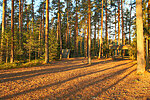
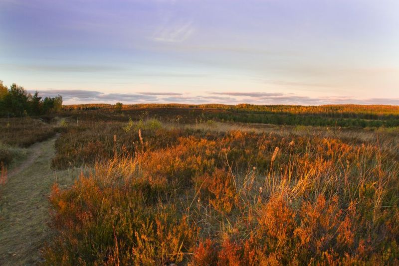
This section of the Hiking Route could be described as the “Good Old Kõrvemaa”.
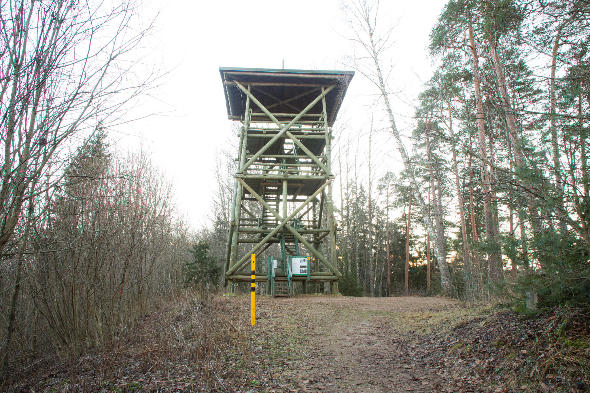
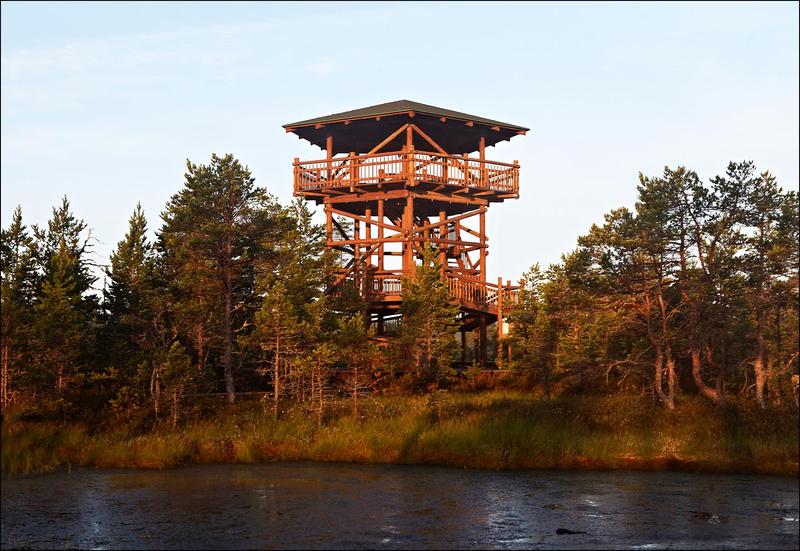
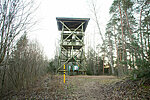
The North-Kõrvemaa Nature Reserve offers numerous different nature trails, campsites and campfire sites.
THE HIKING ROUTE HAS BEEN CHANGED FOM VIRU BOG (42TH KM) TO JÄRVI PIKKJÄRVE CAMPSITE (49TH KM). PAY ATTENTION TO THE INDICATION IN THE NATURE, PLEASE! THE MAP OF THE II SECTION KALMEOJA-AEGVIIDU (36 KM) HAS BEEN CHANGED ON THE WEB AND IT CORRESPONDS TO REALITY. THE PAPER MAP OF THE SECTION HAS NOT BEEN CHANGED.
This section of the Hiking Route could be described as the “Good Old Kõrvemaa”.
The North-Kõrvemaa Nature Reserve offers numerous different nature trails, campsites and campfire sites.
| Phone | +372 604 7212 |
|
info.aegviidu@rmk.ee | |
| Type of object | Hiking trail |
| Parking facilities |
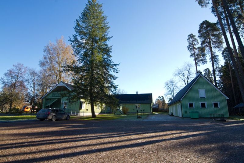
If you look for a good place to step on the
Hiking Route, the best and safest variant is Aegviidu, where long-term parking
opportunity and also all kinds of information is available at the Visitor
Centre. Also, there is excellent rail connection with Tallinn, and relatively
good connection with Tartu and Narva. |
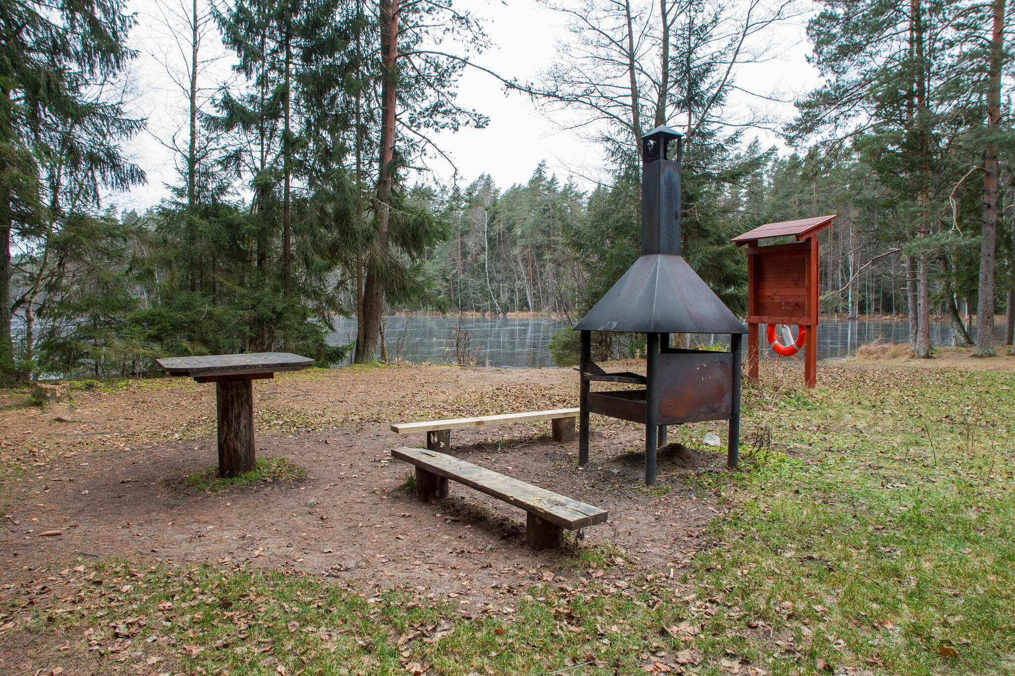
| Amenities | The trail is marked with signs and ribbons at turns, as well as with kilometer markers. The rest stops on the trail and distances:
|
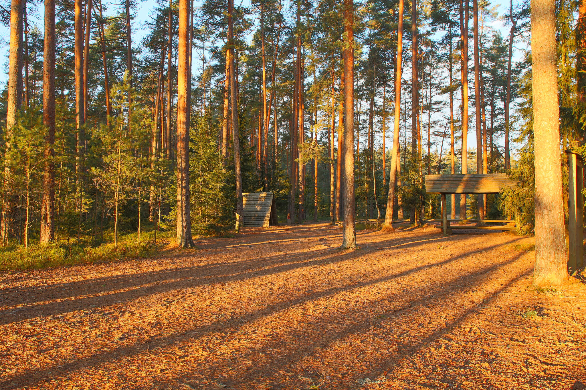
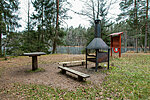
| Camping facilities | In campsites |
| Campfire site | In campfire sites |
| Hiking options | yes |
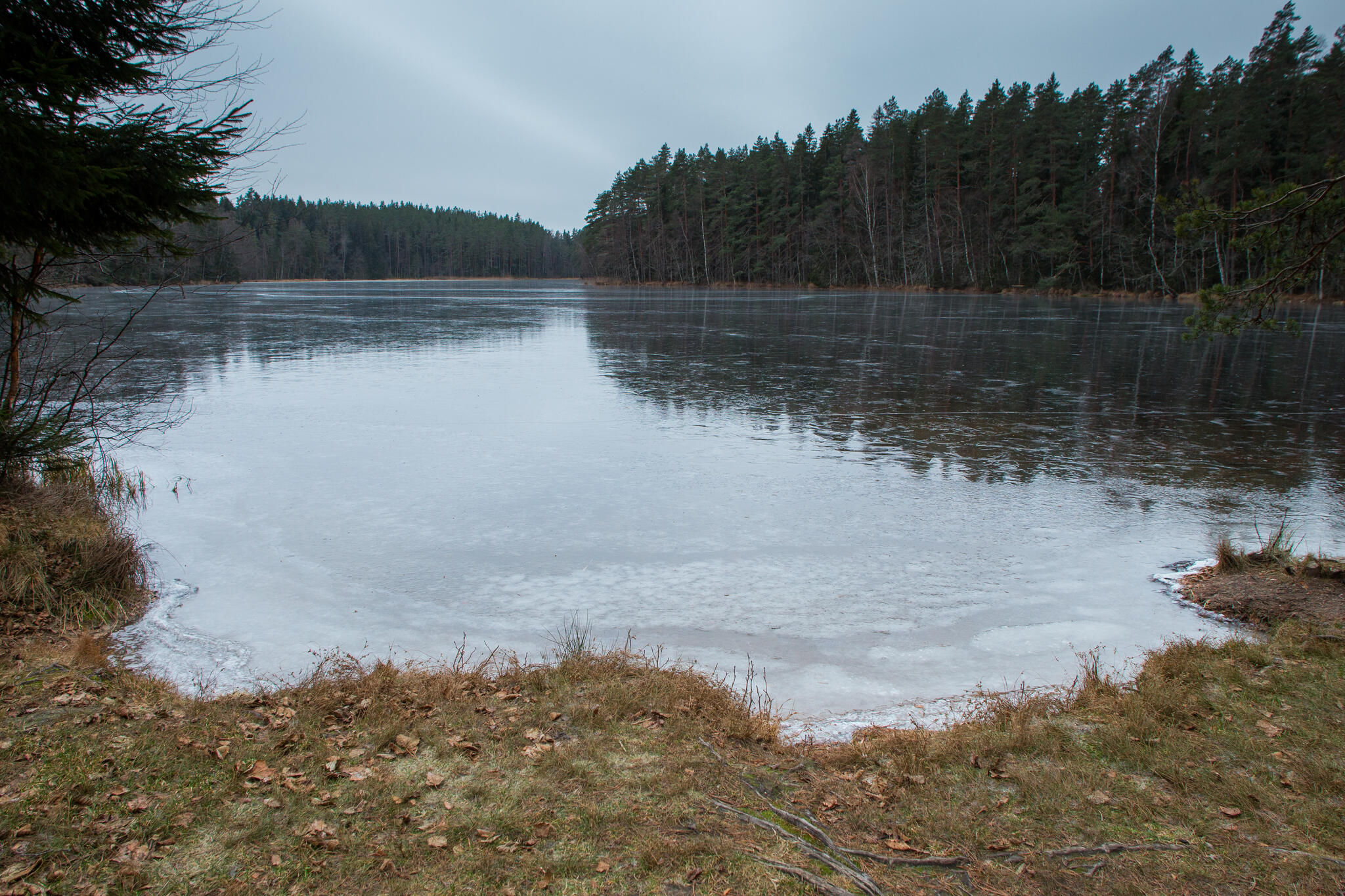
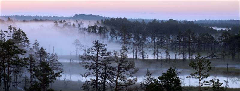
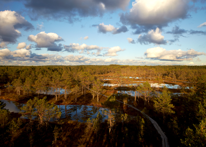
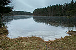
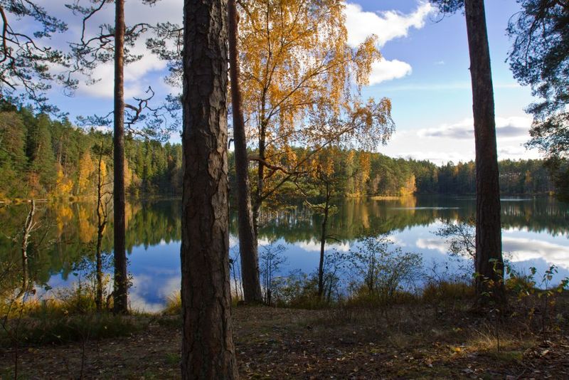
| Sights | The wildlife in the
Kõrvemaa area, and especially Lake Paukjärv, the Jussi lakes, the Jussi heath. In the beginning of this section is Viru Bog. |
| Additional information | The hiking trail is not kept clear of snow. Before going on a nature walk please read the Environmental code of conduct (freedom to roam), rules of conduct and waste-sorting policy |
| Restrictions | The Hiking Route mainly
goes through the territories of protection areas, where different nature
conservation restrictions apply. To point out a few, please remember that in
most lakes of the North-Kõrvemaa Nature Reserve, fishing is allowed for everyone with one
simple hand line. Please remember that along the whole trail camping and making
campfire is allowed in designated places only. |
| Location | More about the Hiking
Route in this region: the first section is a boardwal over Viru bog. Then it crosses Tallinn-Narva highway and enters North-Kõrvemaa Nature Reserve. The next 32 km is hiking trail in
Northern Kõrvemaa up to the small town of Aegviidu. 2,5 kilometers from Aegviidu is Nikerjärve campsite. |
| Driving directions | Aegviidu Visitor Centre
is located in the centre of Aegviidu, 37 km along Jägala–Käravete road (Road
no. 13). When coming from Tallinn, turn right after the Aegviidu bus station
(follow the sign “Aegviidu külastuskeskus”) and you’ll arrive at the parking
area of the Visitor Centre. |
Click on the map to download it.
(The file is large, therefore the download takes a few minutes.)
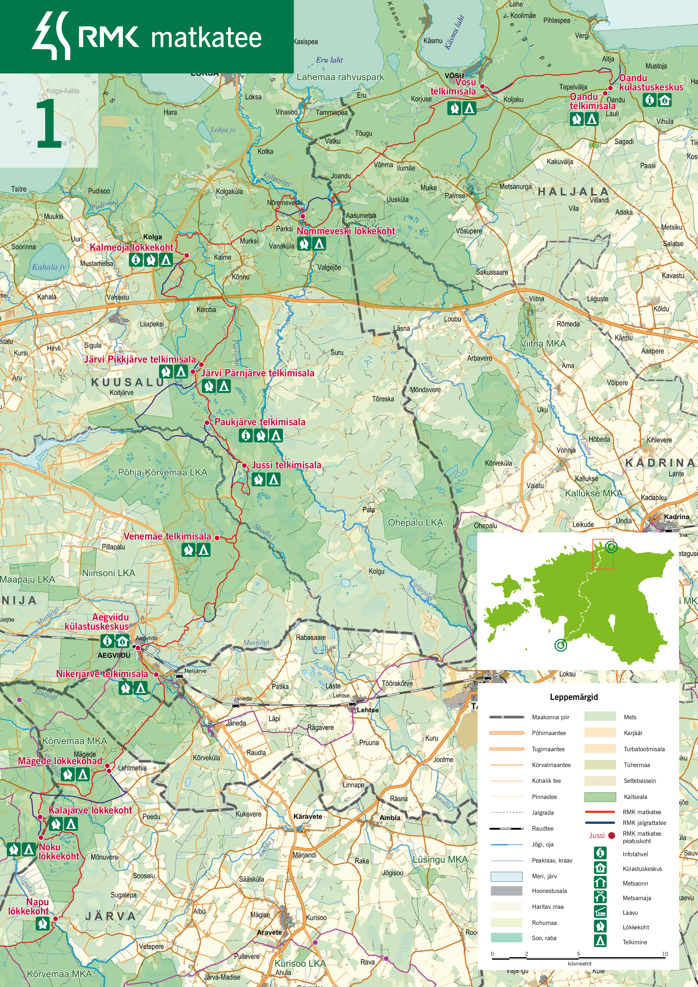
(The file is large, therefore the download takes a few minutes.)