Kakerdaja nature trail (7 km)
Järva County, Aegviidu-Kõrvemaa Recreation Area
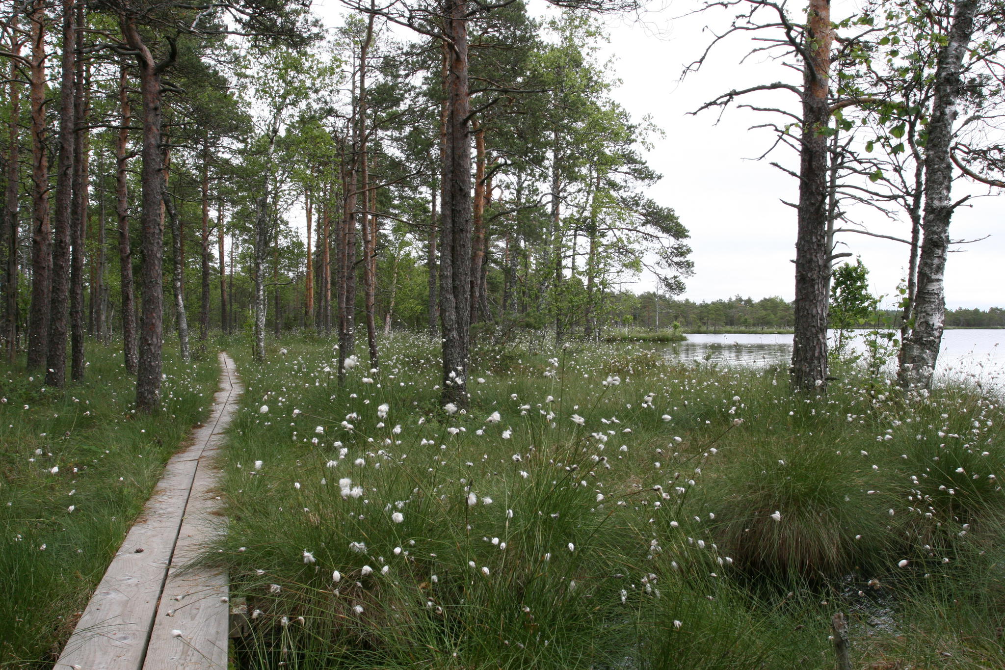
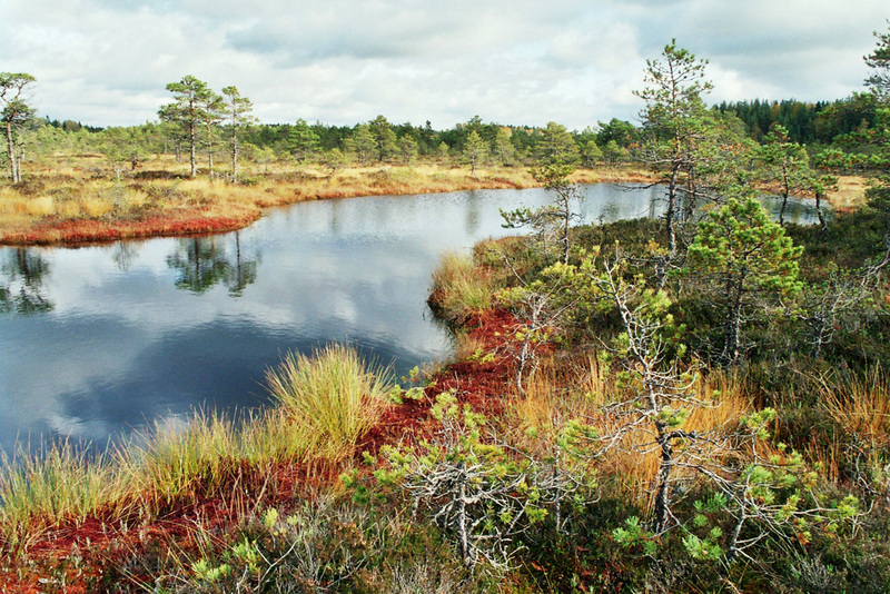
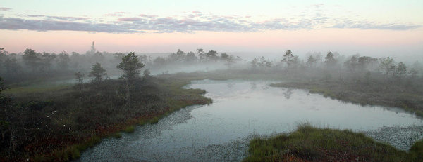
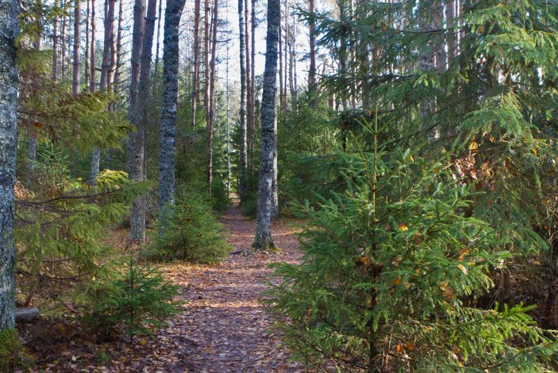
The nature trail can be enjoyed in different sections: bog lovers have the opportunity to walk along the boardwalk (4 km) through the Kakerdaja bog. Different forest types and lakes can be seen on the Kalajärve trail section while passing the Noku campfire site, making a circle around the small and large Kalajärv you can reach back the Noku campfire site along the road. The trail is also on the RMK Oandu-Aegviidu-Ikla and RMK Peraküla-Aegviidu-Ähijärve hiking trail.
| Phone | +372 604 7212 |
|
info.aegviidu@rmk.ee | |
| Type of object | Study trail |
| Parking facilities | Parking for 6 cars by
Lake Suur-Kalajärv, parking for 12 cars or 2 buses at Noku campfire site |
| Amenities | The trail includes
boardwalk (4 km), information boards with the trail map and other information
at parking areas and at the end of the trail, 16 information stands in the
points of interest along the trail. The trail goes through Lake Kalajärv and
Noku campfire sites. |
| Camping facilities | yes |
| Campfire site | Noku campfire site Kalajärve campfire site |
| Water |
Non-potable water from lake Kalajärv |
| Hiking options | yes |
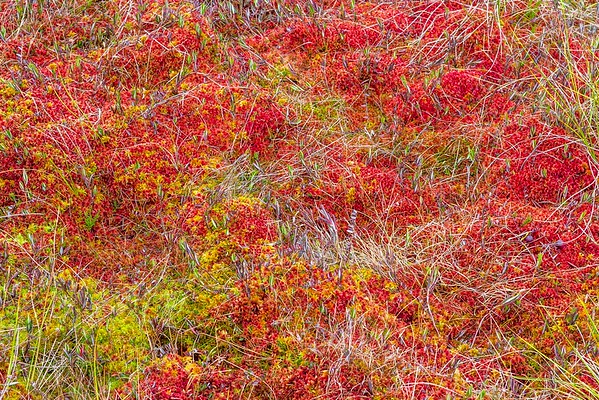
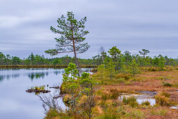
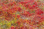
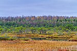
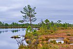
| Sights | Lakes, forests, raised
bog, old farmsteads |
| Berries and mushrooms | Bilberries, cowberries, mushrooms |
| Additional information | The hiking trail is not kept clear of snow. Before going on a nature walk please read the Environmental code of conduct (freedom to roam), rules of conduct and waste-sorting policy |
| Restrictions | The nature trail is situated in Kõrvemaa landscape reserve. Information about restrictions can be obtained from the Environmental Board: +372 662 5999, info@keskkonnaamet.ee |
| Location | Anija municipality, Harju County, Järva municipality, Järva County Object no 19 on recreation area map |
| Driving directions | Drive on Jäneda–Perila
road (Road no. 11125), 13 km from Jäneda, turn left (follow the sign
“Kakerdaja”), drive 1.8 km along the gravel road, up to the sign directing to
the campfire site on the left. There is the start of the nature trail.
Alternatively, start at Noku parking area. To go there, drive 13 km on
Jäneda–Perila road, turn left and drive 3.2 km along the gravel road. |
| Geographic coordinates | Long-Lat WGS 84 latitude: 59.18869 longitude: 25.51021 |
| L-EST 97 x: 6562106 y: 586315 |
Click on the map to
download it.
(The file is large, therefore the download takes a few minutes.)

(The file is large, therefore the download takes a few minutes.)