Kütioru short hiking trail (2.8 km)
Võru County, Haanja Nature Park
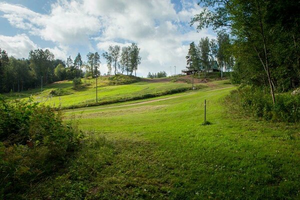
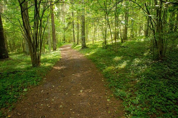
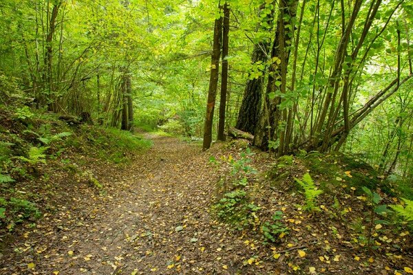
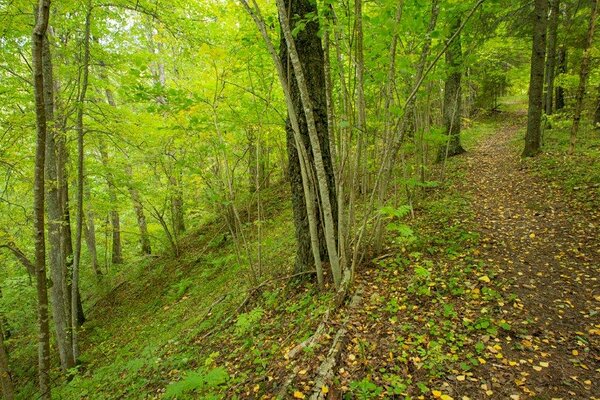
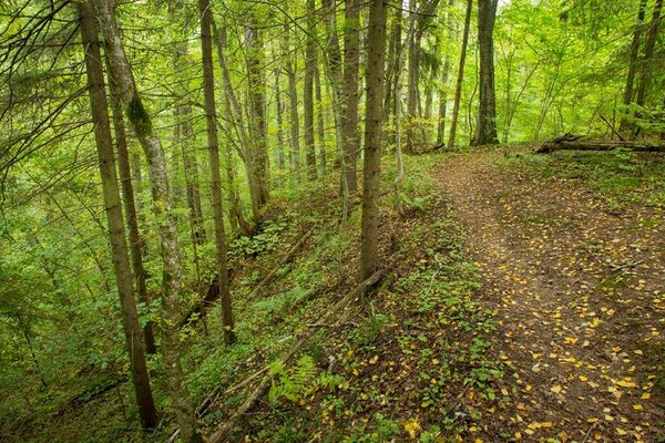
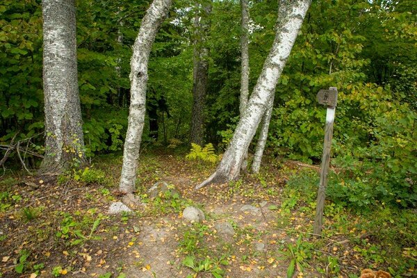
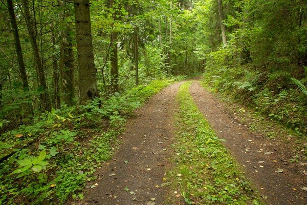
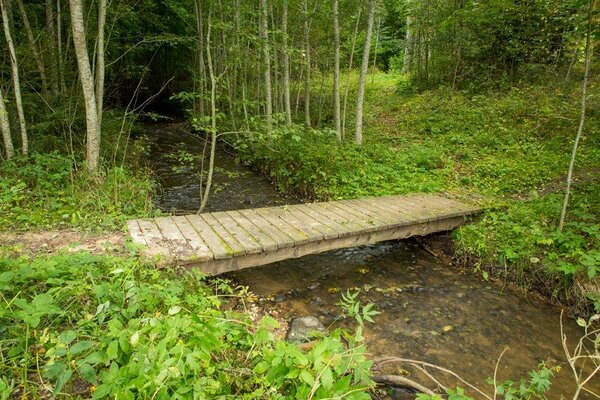
Instead of the longer hiking trail of Kütioru (9.6 km), it is possible to choose the shorter trail, which is about 2.8 km long, indicated with white colour marks. The trail starts at the parking area near Kütiorg Alpine Skiing Centre and leads to the bottom of the valley first. The first half of the trail is the same as the beginning of the 9.6 km hiking trail. There are sections with steep slopes which can be slippery in wet weather.
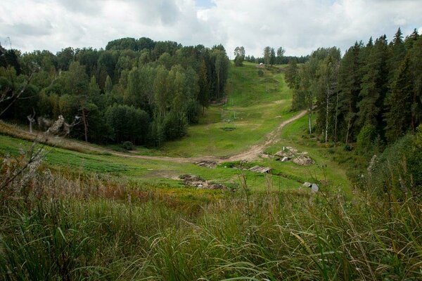
Kütiorg, the grandest primeval valley in Estonia, is up to 70 metres deep. The valley is characterised by steep slopes and a relatively narrow bottom (250-600 m). Its slopes are intersected by numerous gullies, called 'tsoris' in the local dialect, which are the largest ones in Estonia. The main sight of Kütioru short hiking trail is the deep valley called Suurtsori.
Kütiorg, the grandest primeval valley in Estonia, is up to 70 metres deep. The valley is characterised by steep slopes and a relatively narrow bottom (250-600 m). Its slopes are intersected by numerous gullies, called 'tsoris' in the local dialect, which are the largest ones in Estonia. The main sight of Kütioru short hiking trail is the deep valley called Suurtsori.
| Phone | +372 501 9564 |
|
info.pahni@rmk.ee
| |
| Type of object | Hiking trail |
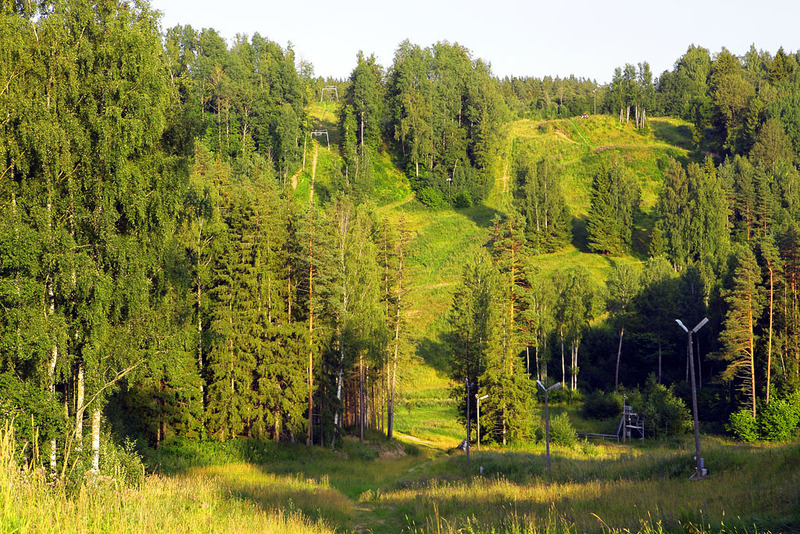
| Parking facilities | Parking at Kütiorg Alpine Skiing Centre or at the start of the hiking trails, spaces for max 8 cars. |
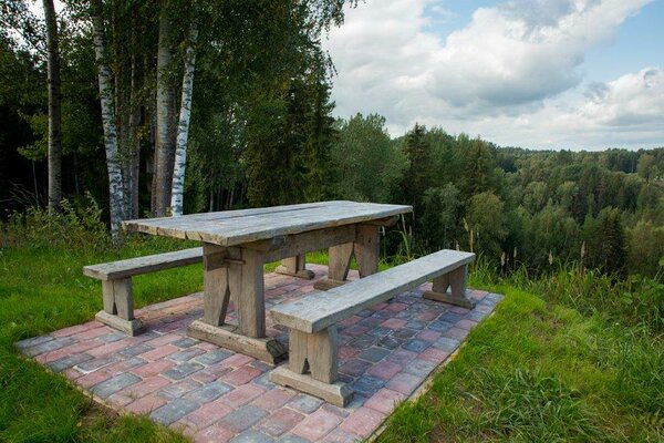
| Amenities | The trail starts at Kütiorg Alpine Skiing Centre and is indicated with wooden signs (white colour marks) |
| Hiking options |
walking |
| Sights | The largest and grandest primeval valley in Estonia – Kütiorg. Deep V-shaped valley – Suurtsori. |
| Additional information |
Before going on a nature walk please read the Environmental code of conduct (freedom to roam), rules of conduct and waste-sorting policy
|
| Restrictions | The hiking trail is situated in Haanja Nature Park, about restrictions please read here. Further information can be obtained from the Environmental Board (+372 662 5999, info@keskkonnaamet.ee). |
| Location | Võru municipality, Võru County. Object no 9 on the nature park map. |
| Driving directions | Drive from Võru towards Luhamaa (Road no. 2, E263), at the Tootsi bus stop turn left, follow the sign "Kütioru matkarada 3 km". The same road also takes you to Kütioru Alpine Skiing Centre. Go along the asphalt road, which later turns into gravel road (2.6 km), to the buildings of the skiing centre. There you will find the parking area and the map of the hiking trail. |
| Geographic coordinates | Long-Lat WGS 84 latitude: 57.78751 longitude: 27.14706 |
| L-EST 97 x: 6409456.8 y: 687135.3 |