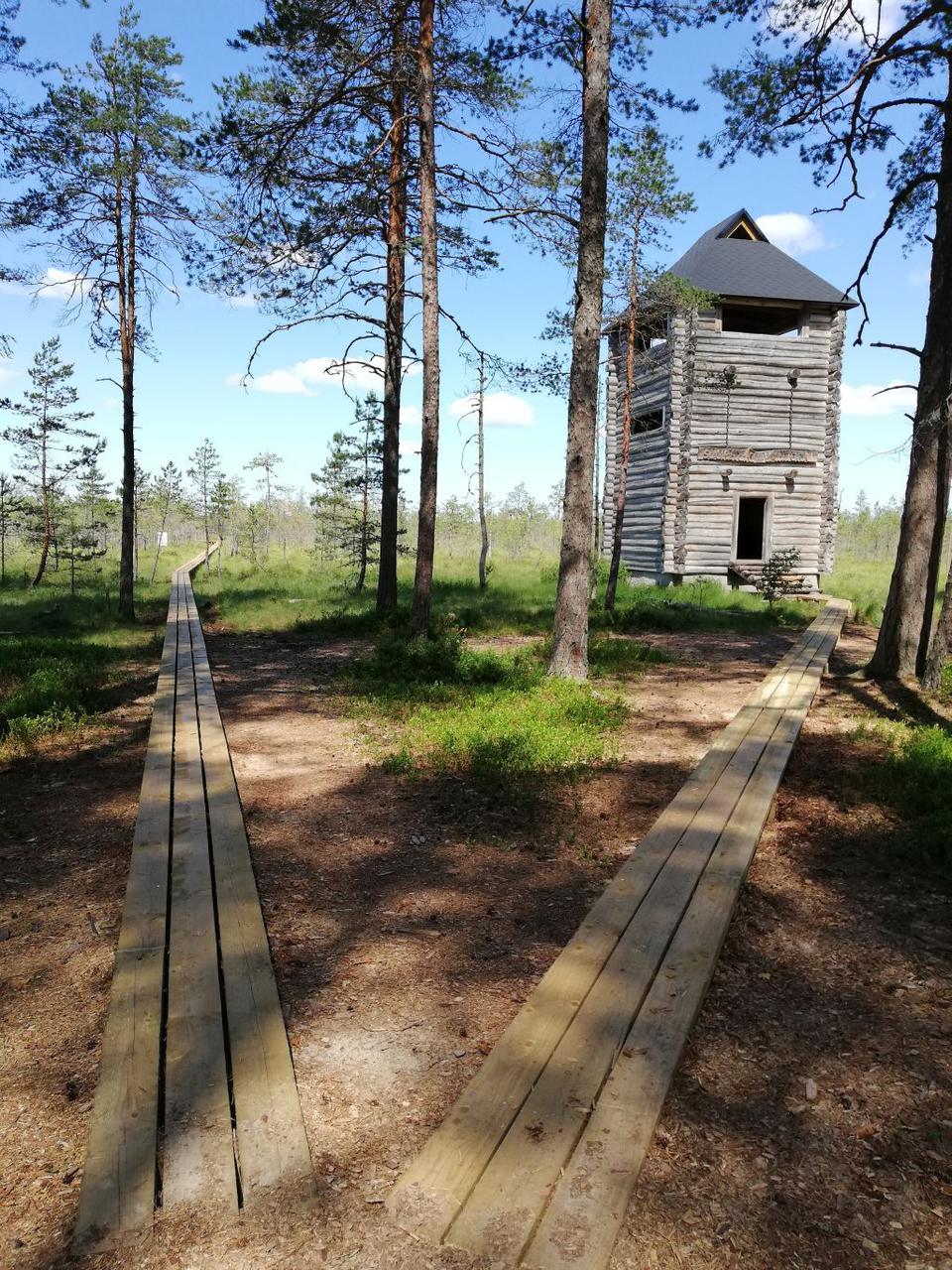
Suuretüki observation tower on the Selli-Sillaotsa study trail (approx. 1 km from the first parking lot)
Taru County, Alam-Pedja Nature Reserve
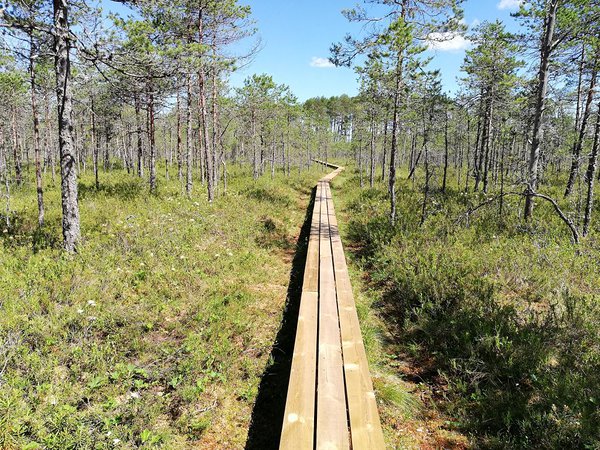
The Selli-Sillaotsa study trail is circular, that is, the trail starts and ends at the same point. If you take the right branch from the first parking lot, the observation tower is 1 km away, and if you take the left branch, you have to walk 3.7 km to reach the observation tower, 2.5 km from the second parking lot. The so-called watchtower-type massive lookout tower made of logs is located on the edge of the Laeva bog on the land of the former Suuretüki farm. From the lookout tower, you can enjoy pleasant views of the bog and the boardwalk that runs through it in different seasons.
| Phone |
+372 676 7122
|
|
info.kiidjarve@rmk.ee
| |
| Type of object | Observation Tower |
| Parking facilities | There is space for 4 cars near the first shelter and for 8 cars in another parking lot 1 km away. |
| Amenities |
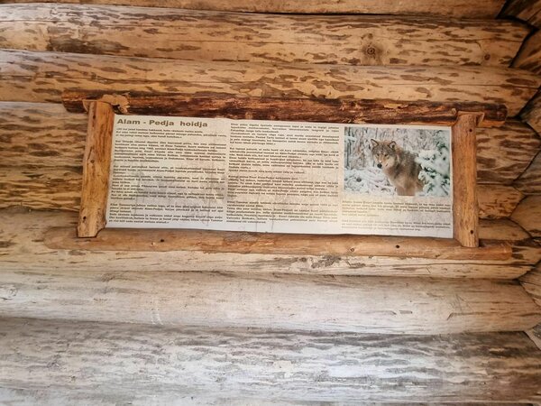
12 m high log observation tower, informnation boards on the walls of the intermediate platforms, tables and benches above.
|
| Hiking options | On foot on Selli-Sillaotsa study trail |
| Sights | Views from the tower, wildlife, different wetland types, bog islets |
| Additional information |
|
| Restrictions |
The study trail is situated in Alam-Pedja Nature Reserve, view the restrictions on visiting here
Further information can be obtained from the Environmental Board (+372 662 5999, info@keskkonnaamet.ee).
|
| Location | Tartu municipality, Tartu County |
| Driving directions |
Drive along the Tartu–Tallinn road, 20 km from Tartu turn left immediately after the large sign (Tallinn 161, Siniküla 5, Laeva 2), drive 200 m and take the middle road to Palupõhja (traffic sign “uneven road” 11 km). Drive 7 km to the shelter and parking space on the right. Larger car park is after 1 km.
|
| Geographic coordinates | Long-Lat WGS 84 latitude: 58.440735 longitude: 26.287757 |
| L-EST 97 x: 6480101 y: 633581 |