Altmetsa campfire site
Jõgeva County, Alam-Pedja Nature Reserve
In case of heavy rain, it is difficult to cross several sections of the trail, in some places the trail may be under water
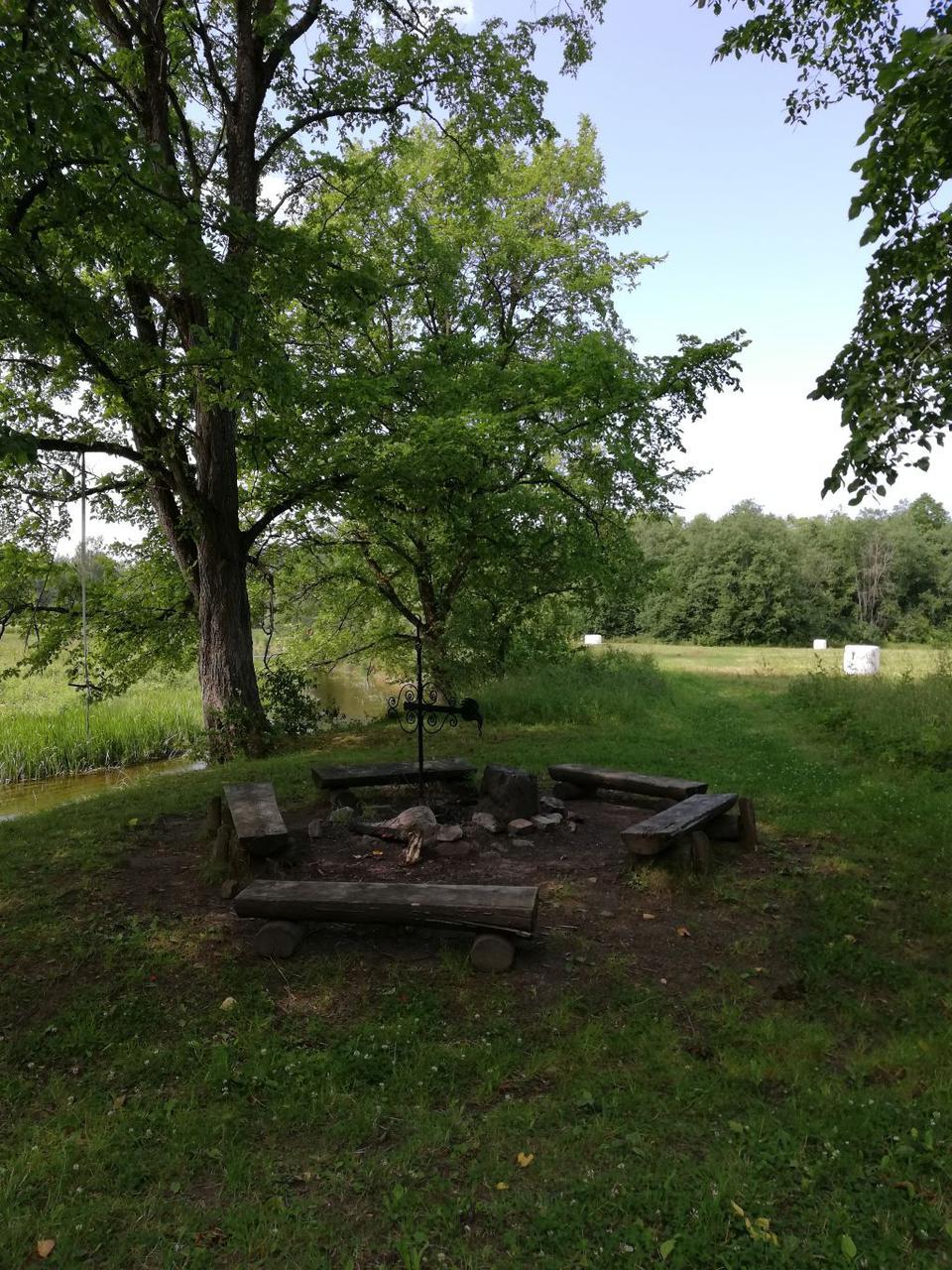
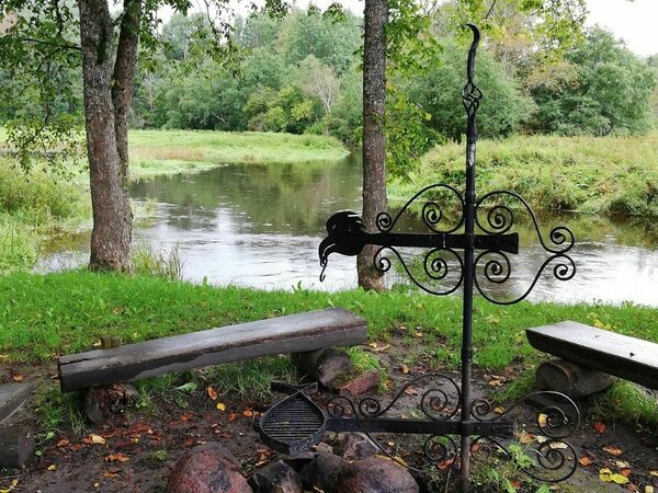
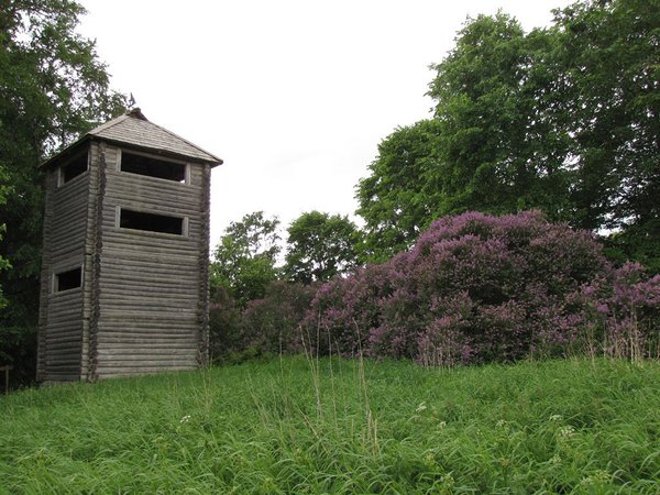
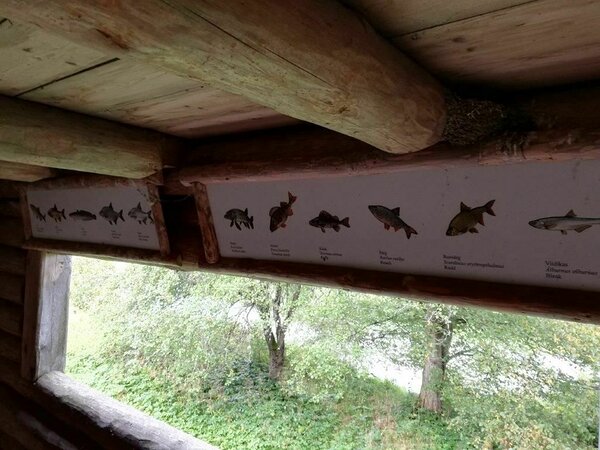
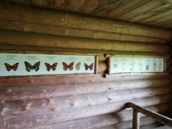
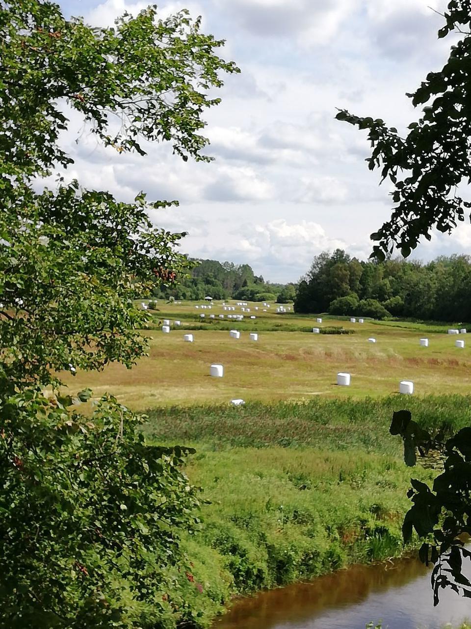
The campfire site is in the lands of the old Altmetsa farm, 1,5 km from the parking lot of Kirna study trail. The observation tower at the campfire site is visible from the very start of Kirna study trail and it offers a good view on the Pedja river and flooded meadow.
| Phone | +372 676 7122 |
| info.kiidjarve@rmk.ee | |
| Type of object | Campfire site |
| Parking facilities | Parking for 8 cars is at he beginning of the trail before the bridge over the Pedja River. |
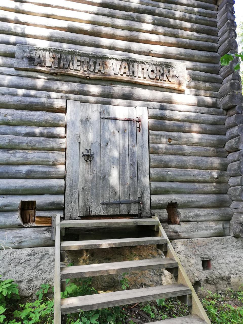
| Amenities | Altmetsa 4-storey watchtower (14 m), fire ring with grill rest, 6 benches, dry toilet, woodshed with dry toilet, information board |
| Camping facilities |
The maximum number of tents (for 4) allowed is 4. |
| Campfire site | Fire ring with a grill. |
| Hiking options | On the Kirna study trail. |
| Sights | Pedja River and flood meadow, floodplain forest |
| Additional information |
|
| Restrictions |
The campfire site is situated in Alam-Pedja Nature Reserve, view the restrictions on visiting here.
Further information can be obtained from the Environmental Board (+372 662 5999, info@keskkonnaamet.ee). |
| Location | Põltsamaa municipality, Jõgeva County. Object no 6 on the nature reserve map. |
| Driving directions | To get to Kirna study trail, drive along the Tartu–Tallinn road, 30 km from Tartu, turn left in Puurmani towards Jüriküla (there are 2 signs under the bridge – “Kirna 5” and “Jüriküla keskus”) and drive 5 km till the parking lot of Kirna study trail. Continue on foot 1,5 km through the Pedja river campfire site or 5,5 km from the direction of Defence League. Access by boat along the Pedja River, heading downstream from the bridge untill the tower. |
| Geographic coordinates | Long-Lat WGS 84 latitude: 58.543014 longitude: 26.224482 |
| L-EST 97 x: 6491362 y: 629510 |