Marimetsa hiking trail (9 km)
Lääne County, Marimetsa Nature Reserve
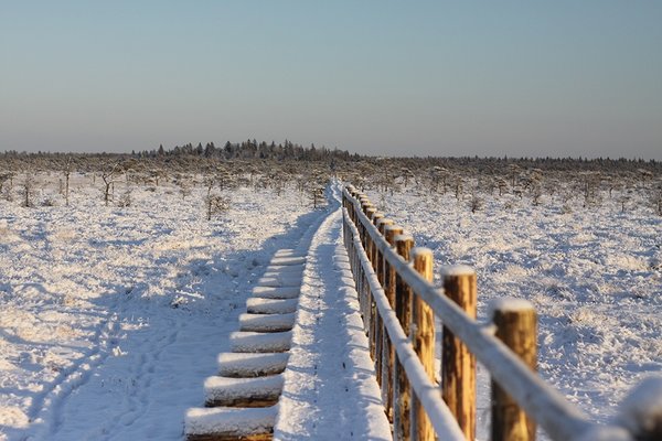
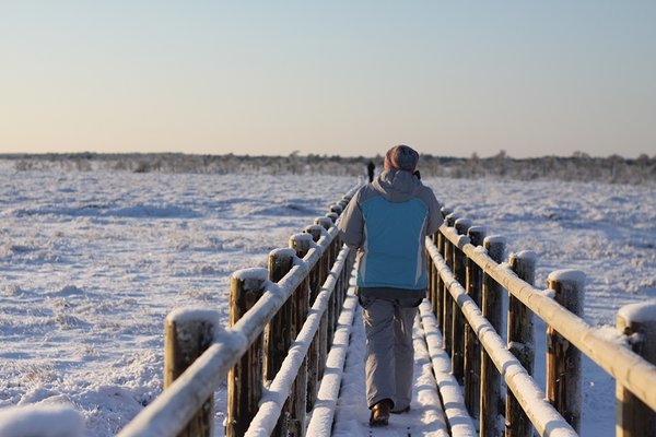
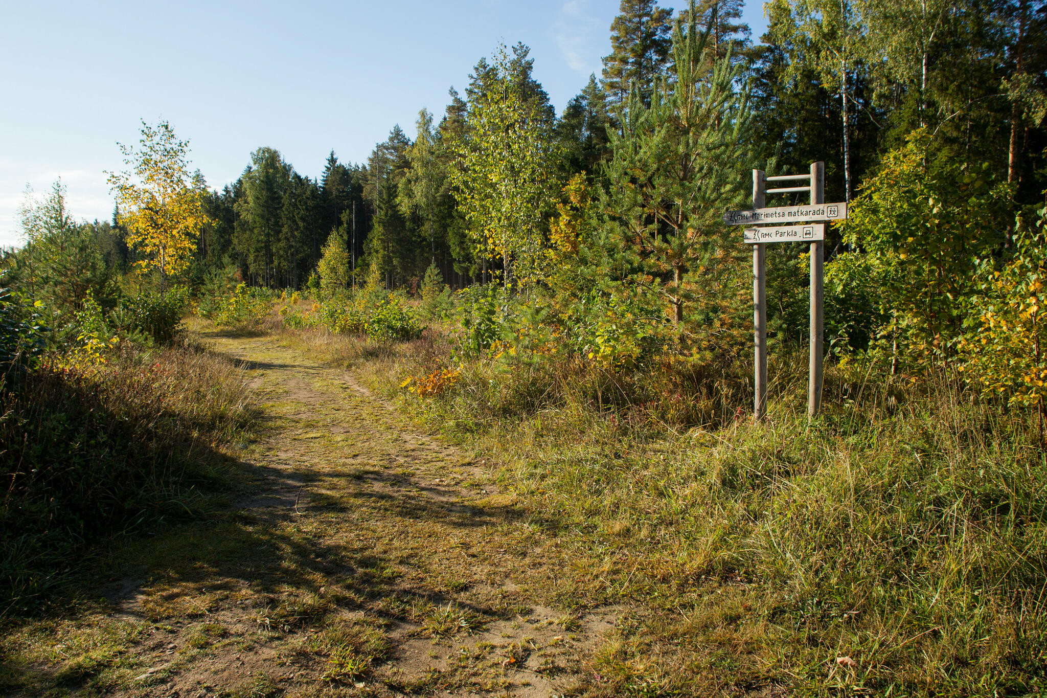
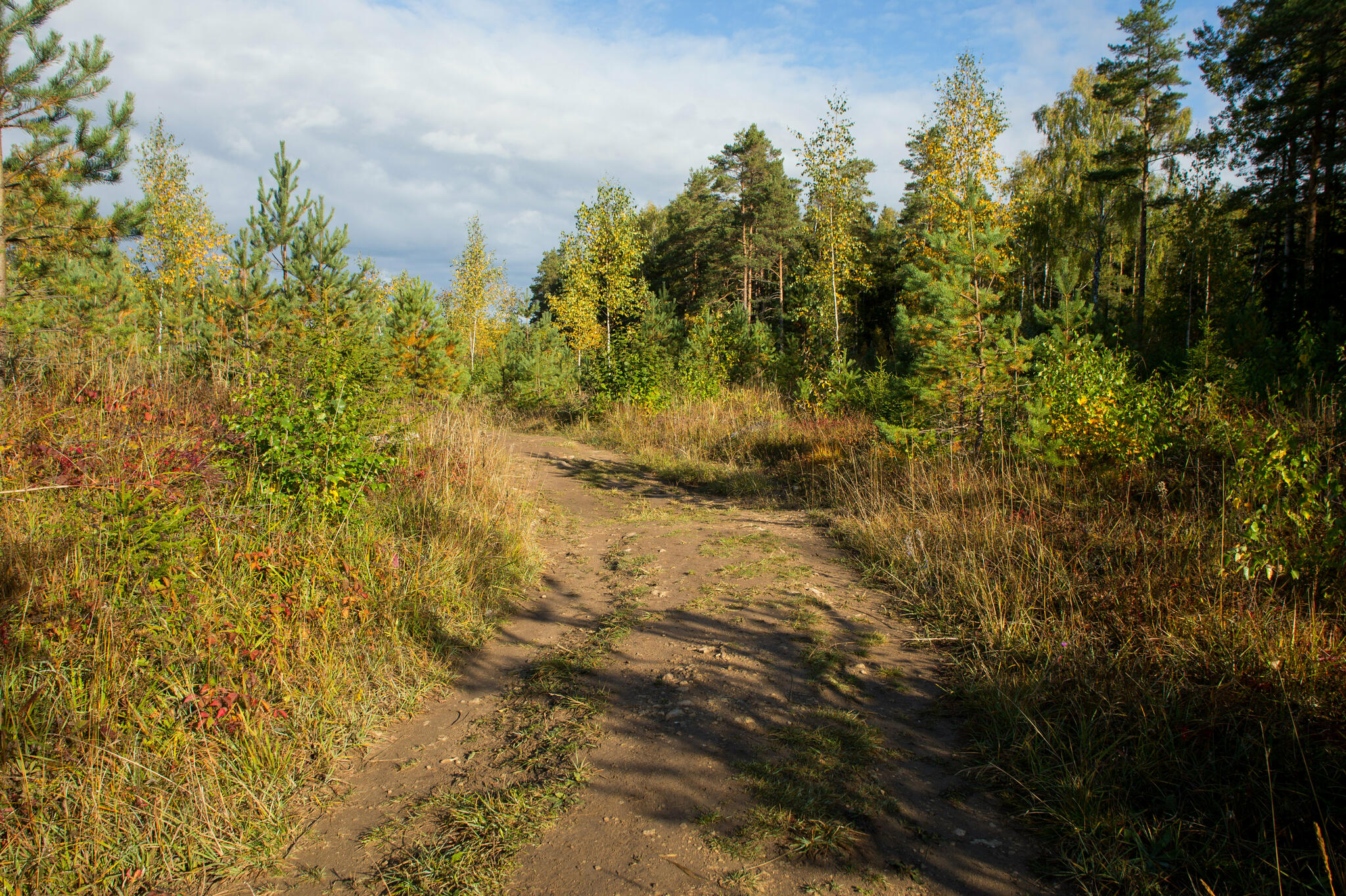
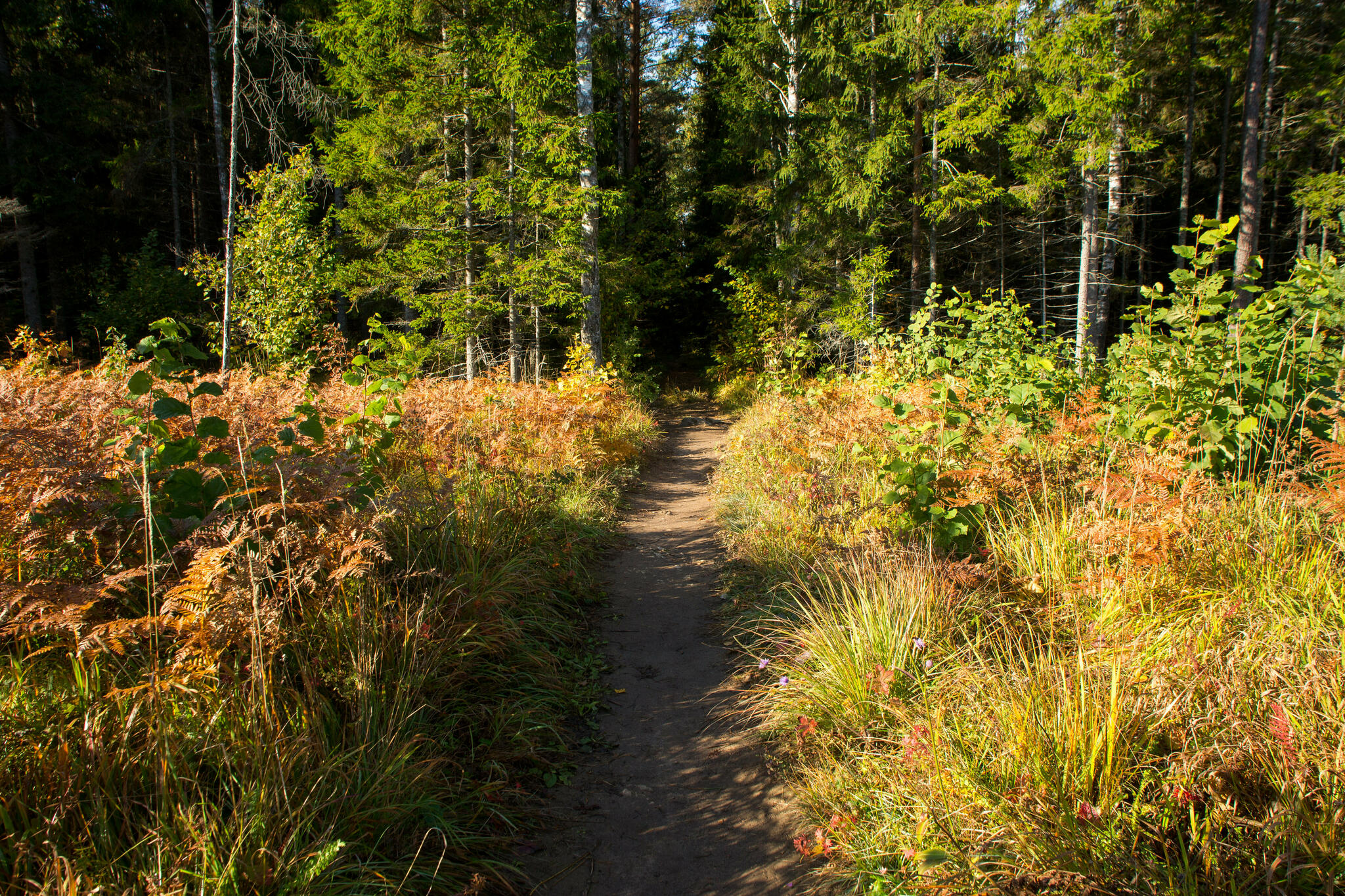
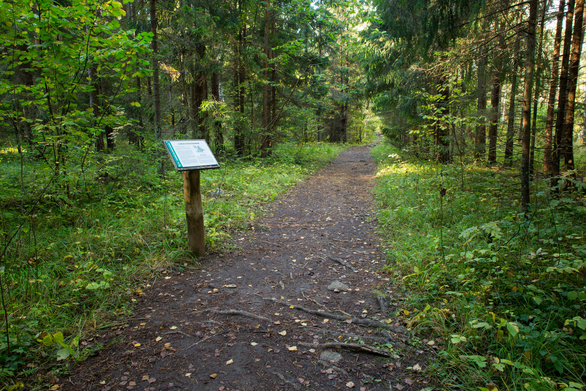
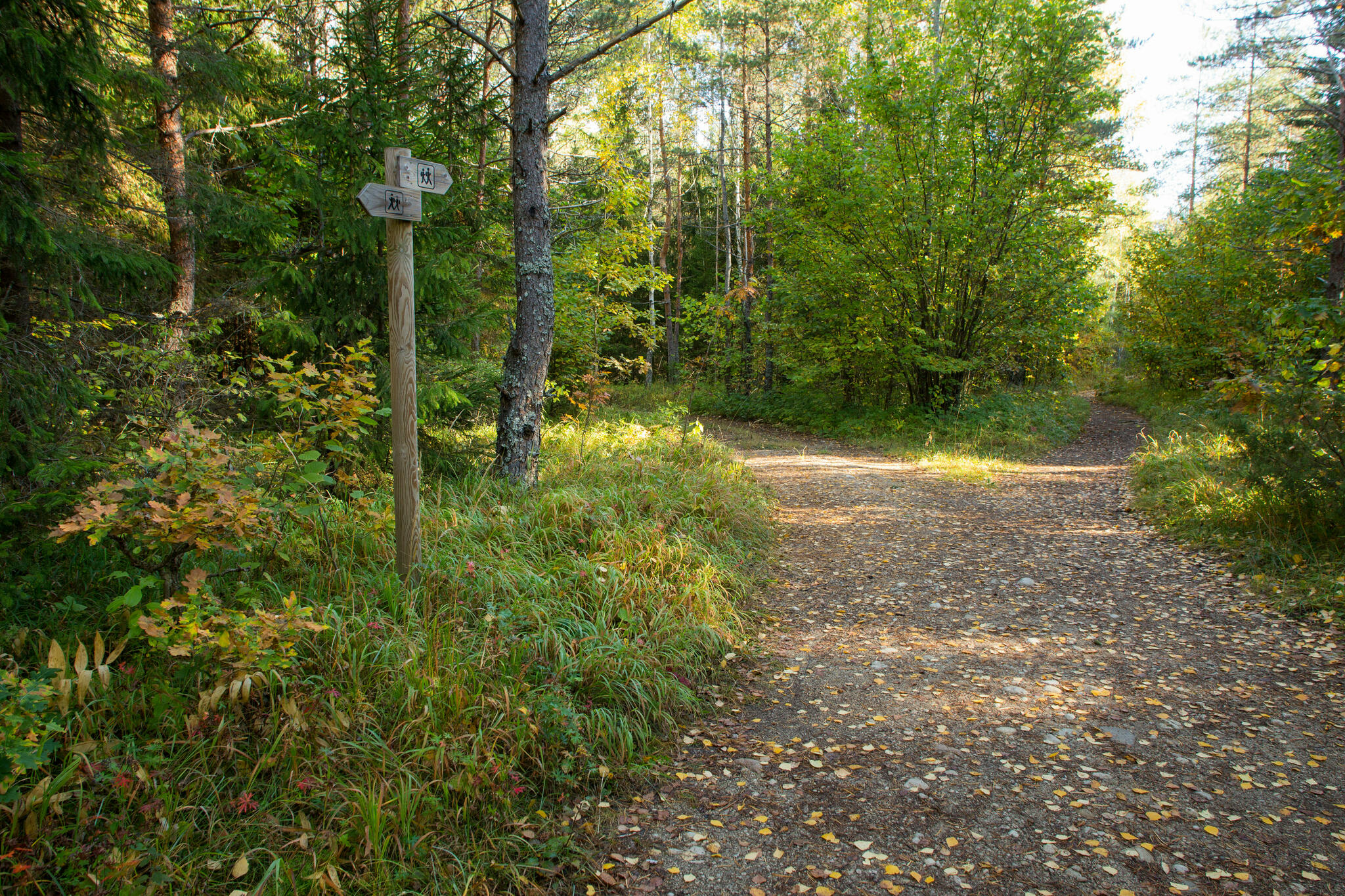
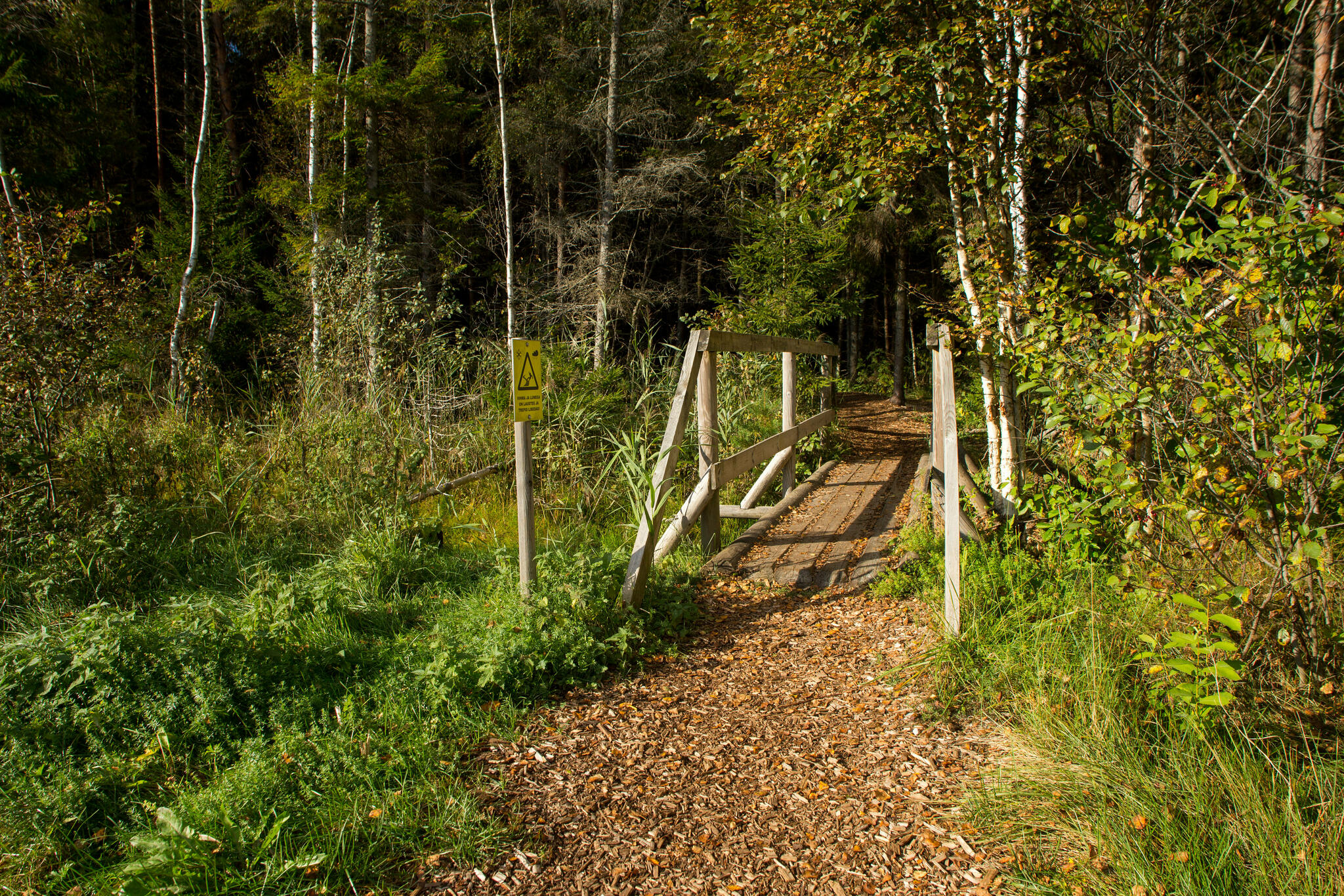
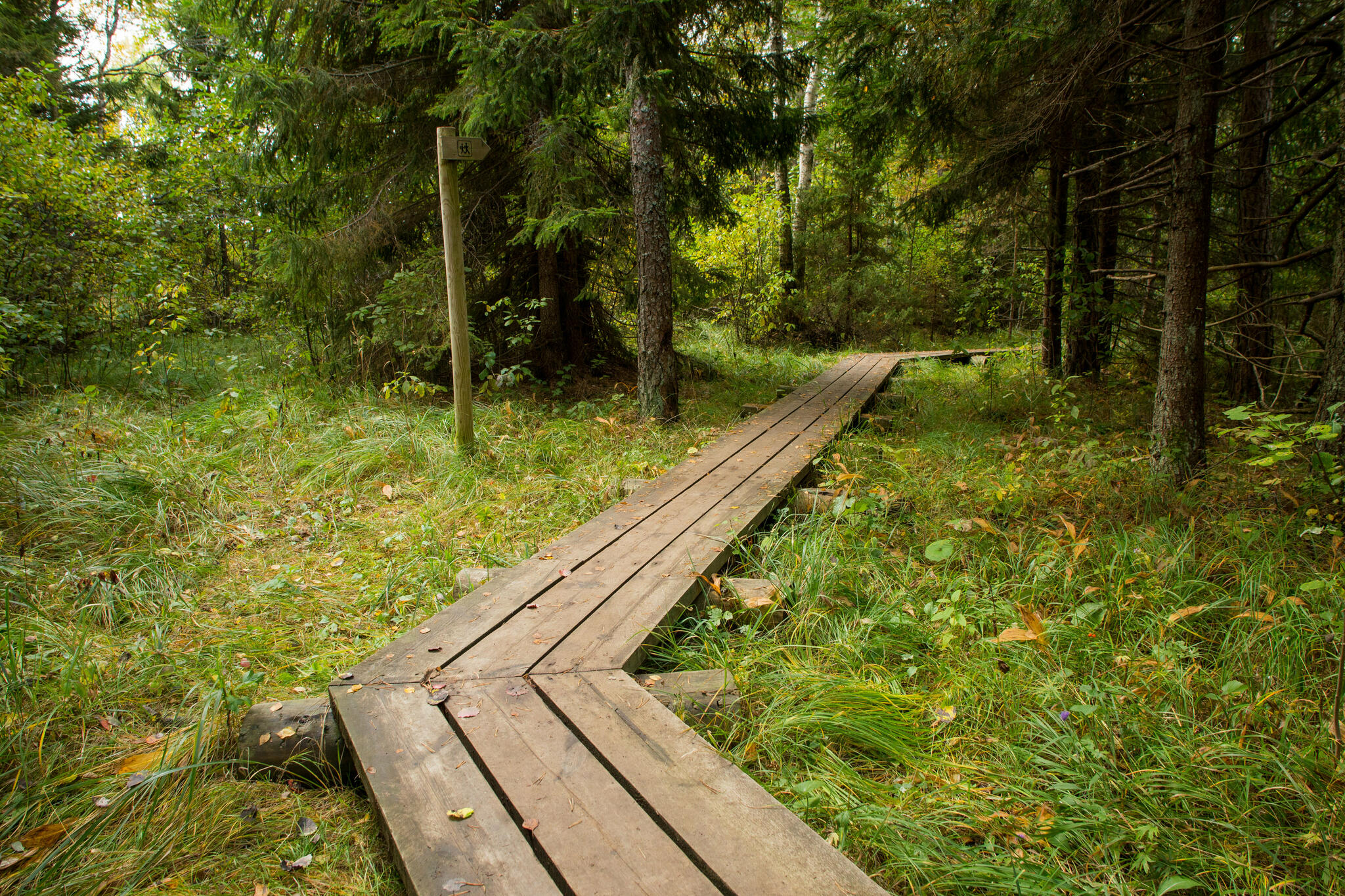
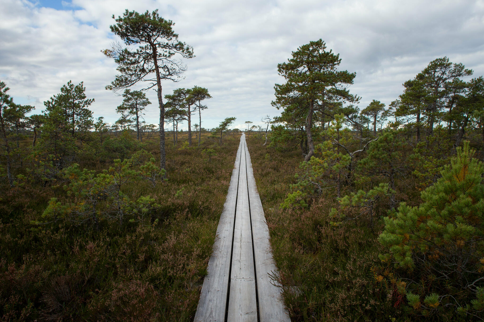
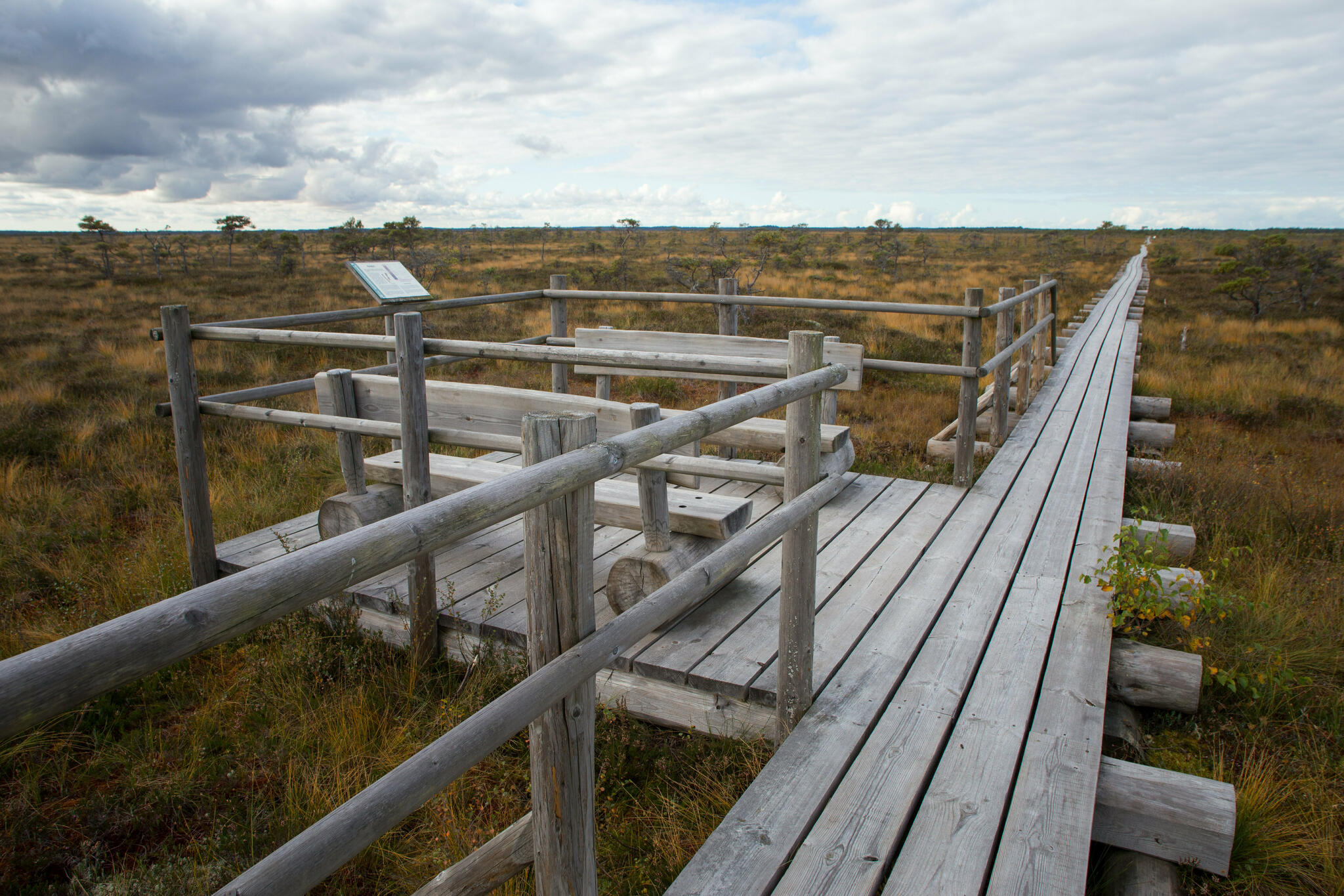
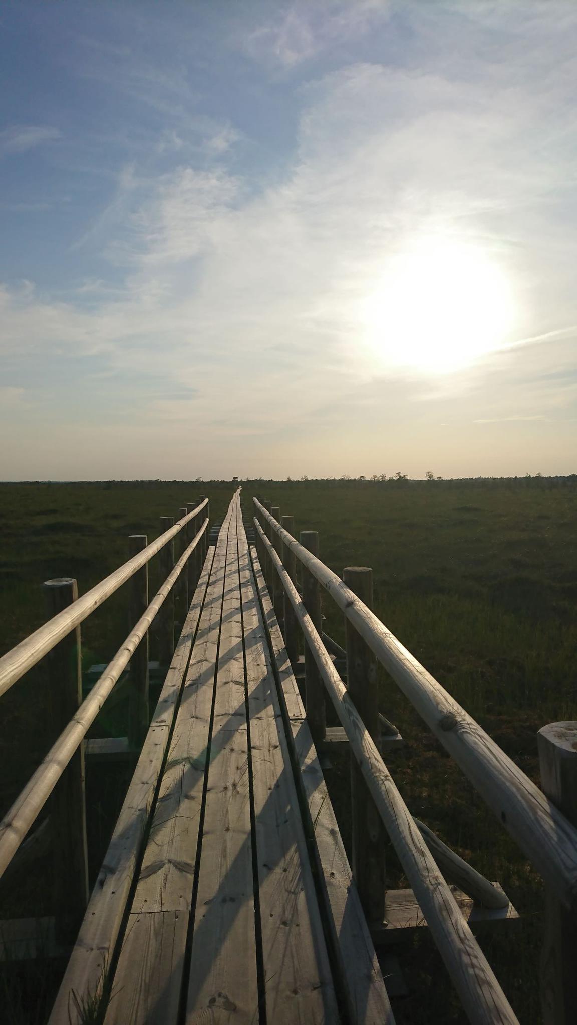
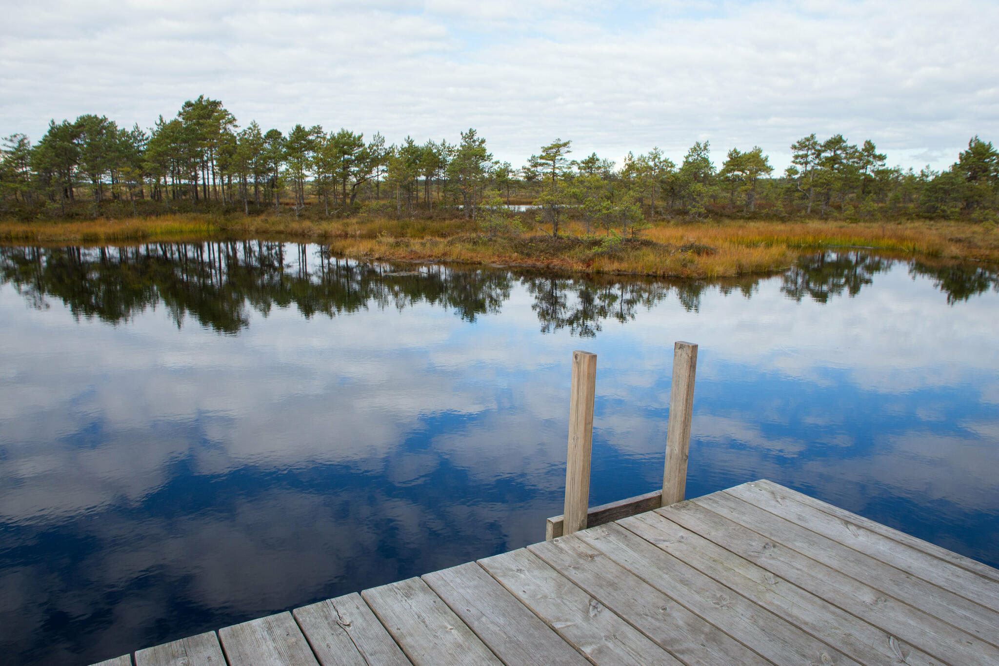
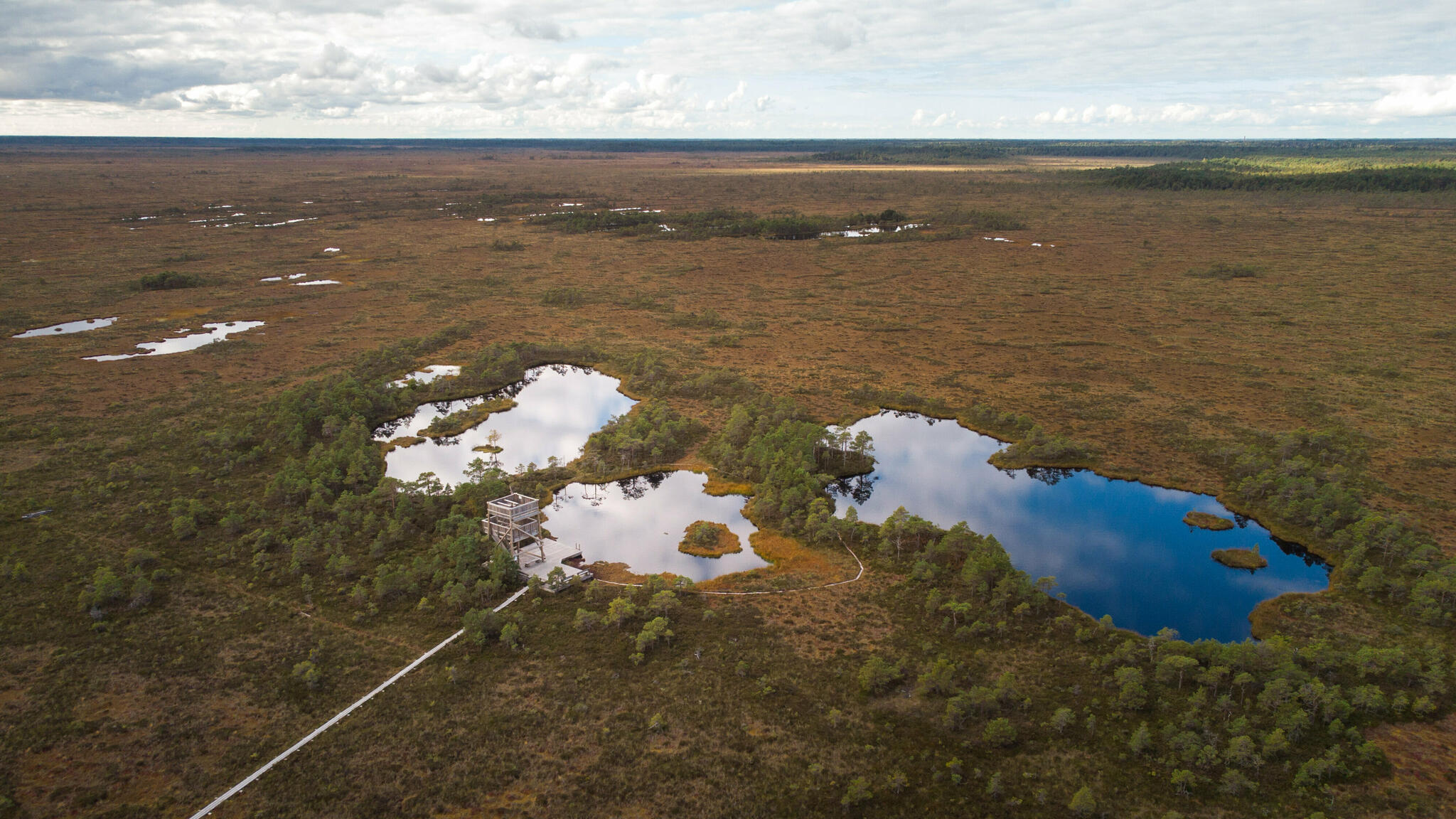
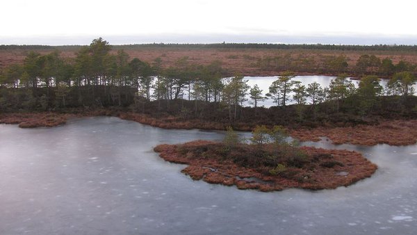
The 9 km out-and-back trail offers a good opportunity to get acquainted with different habitats—the surface road at the start of the trail runs along a forest divide, across a meadow and through a spruce forest along the banks of the Marimetsa stream. The boardwalk at the end of the trail leads you across the fen, raised bog and transitional mire to bog pools.
| Phone | +372 472 4236 |
| info.matsalu@rmk.ee | |
| Type of object | Hiking trail |
| Parking facilities | A gravel parking area for 17 cars |
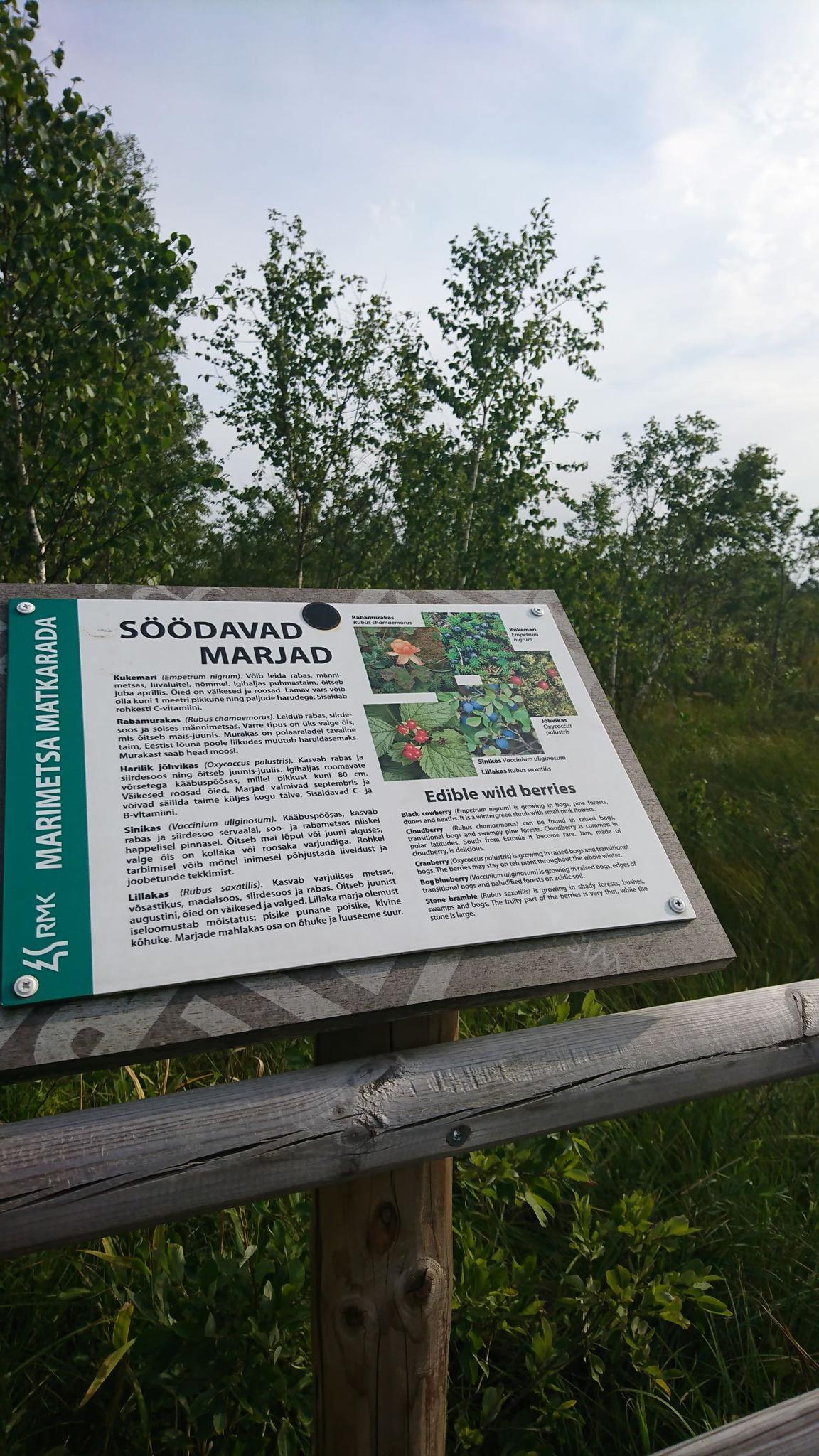
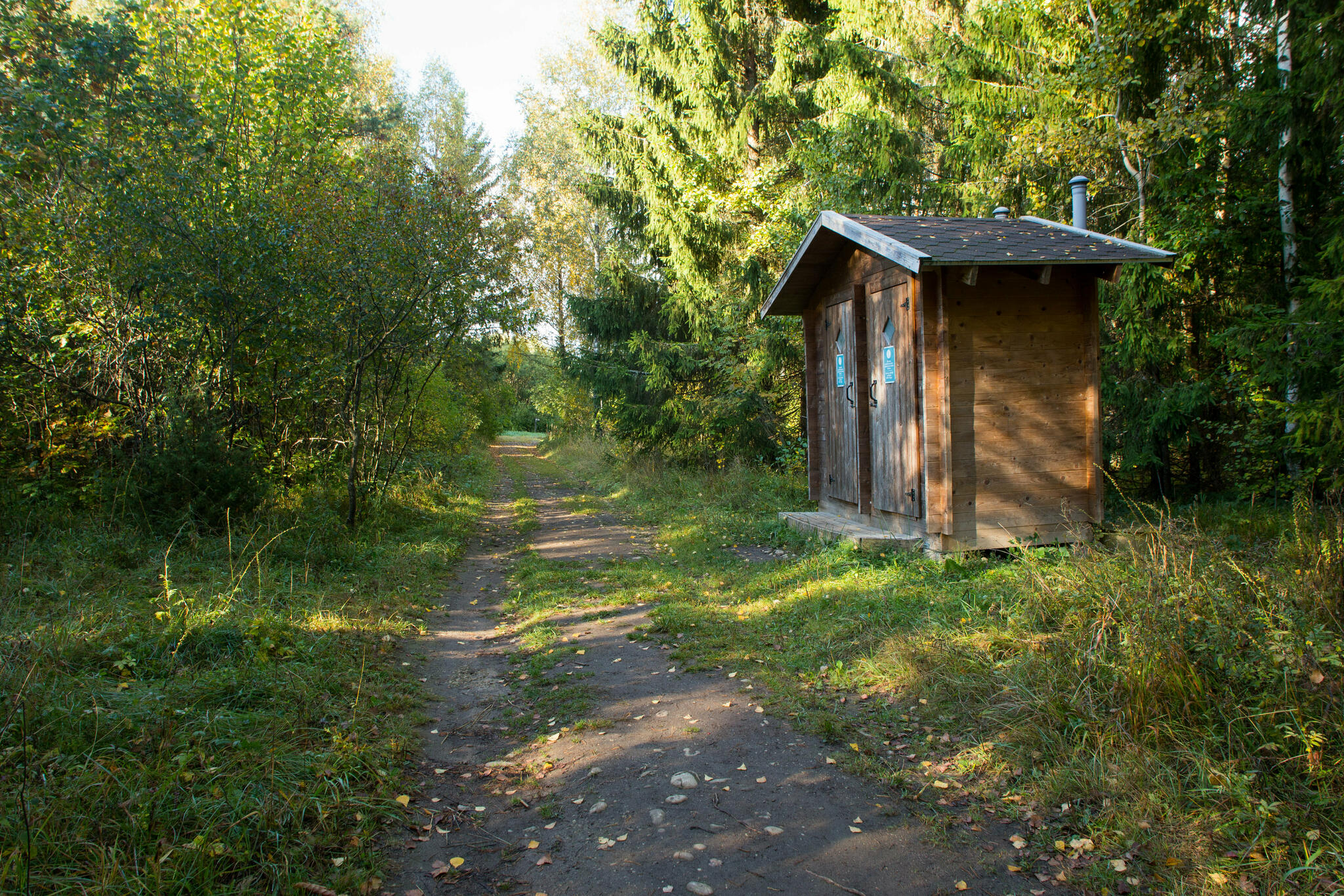
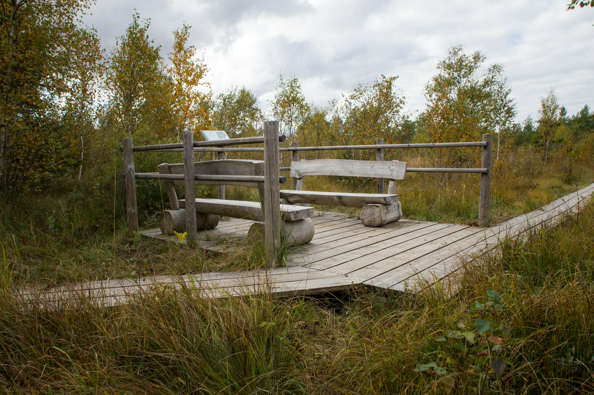
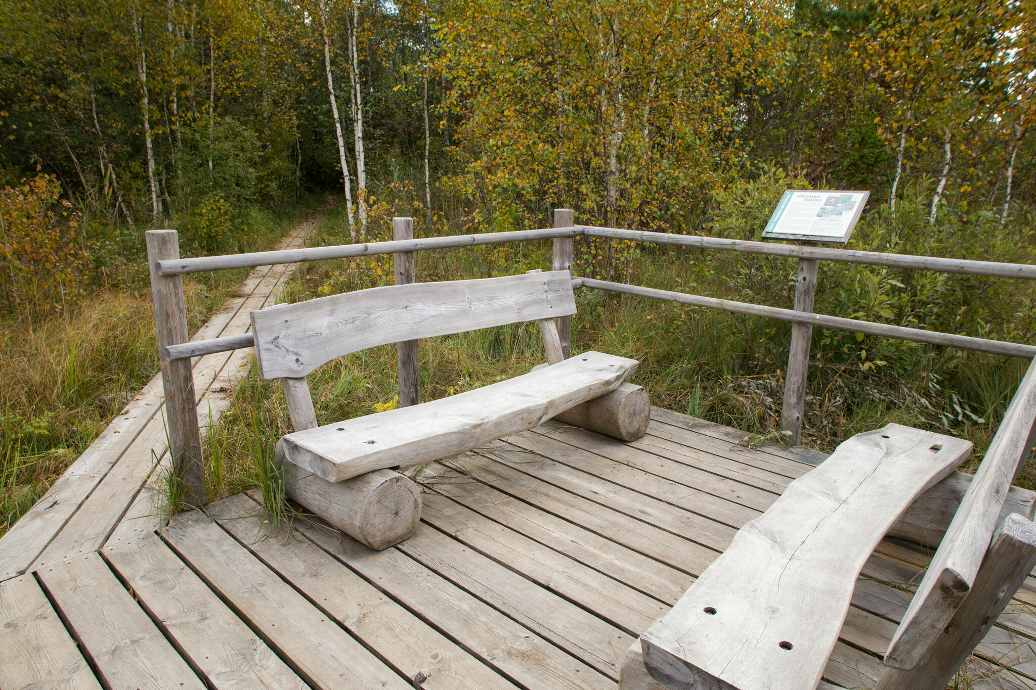
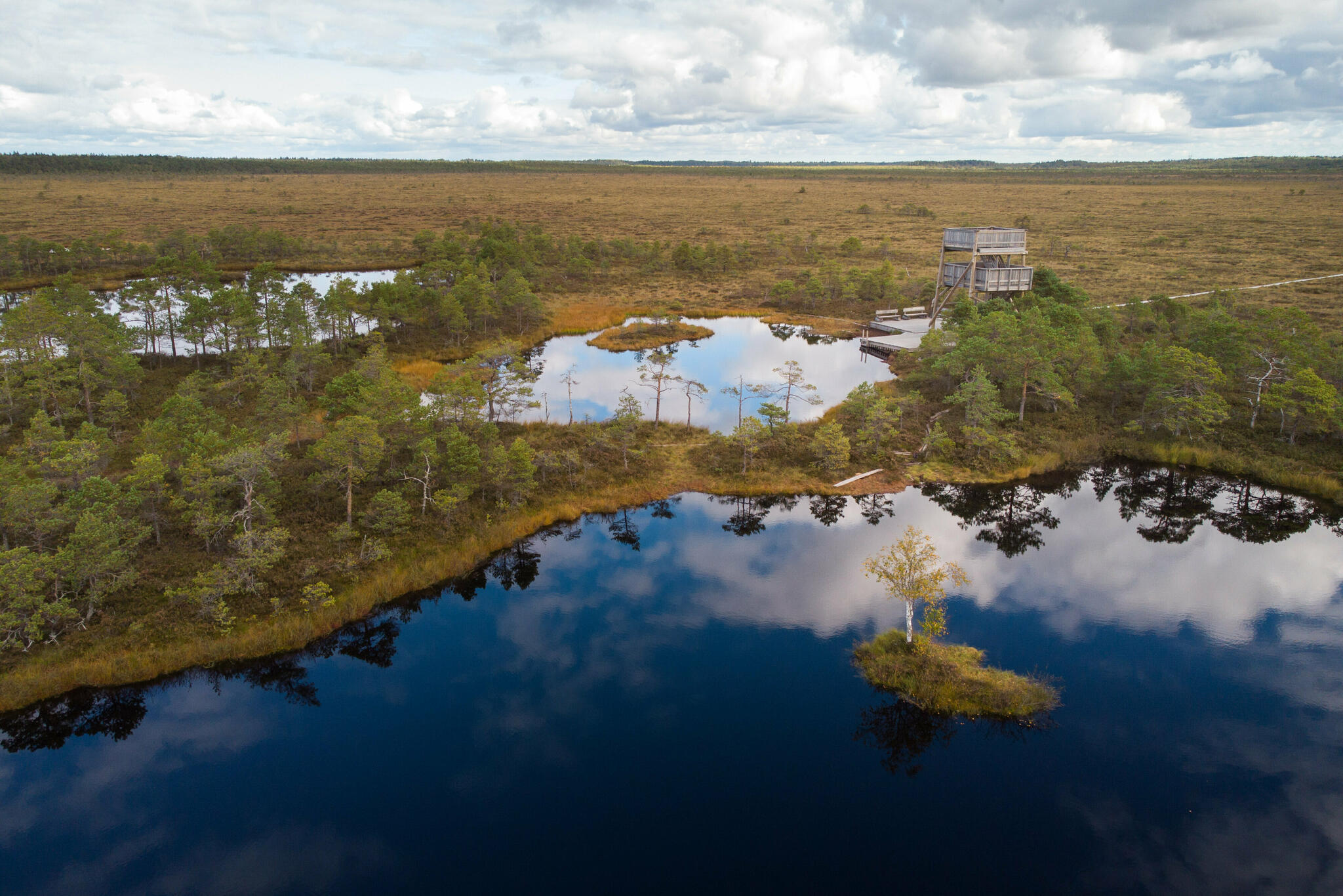
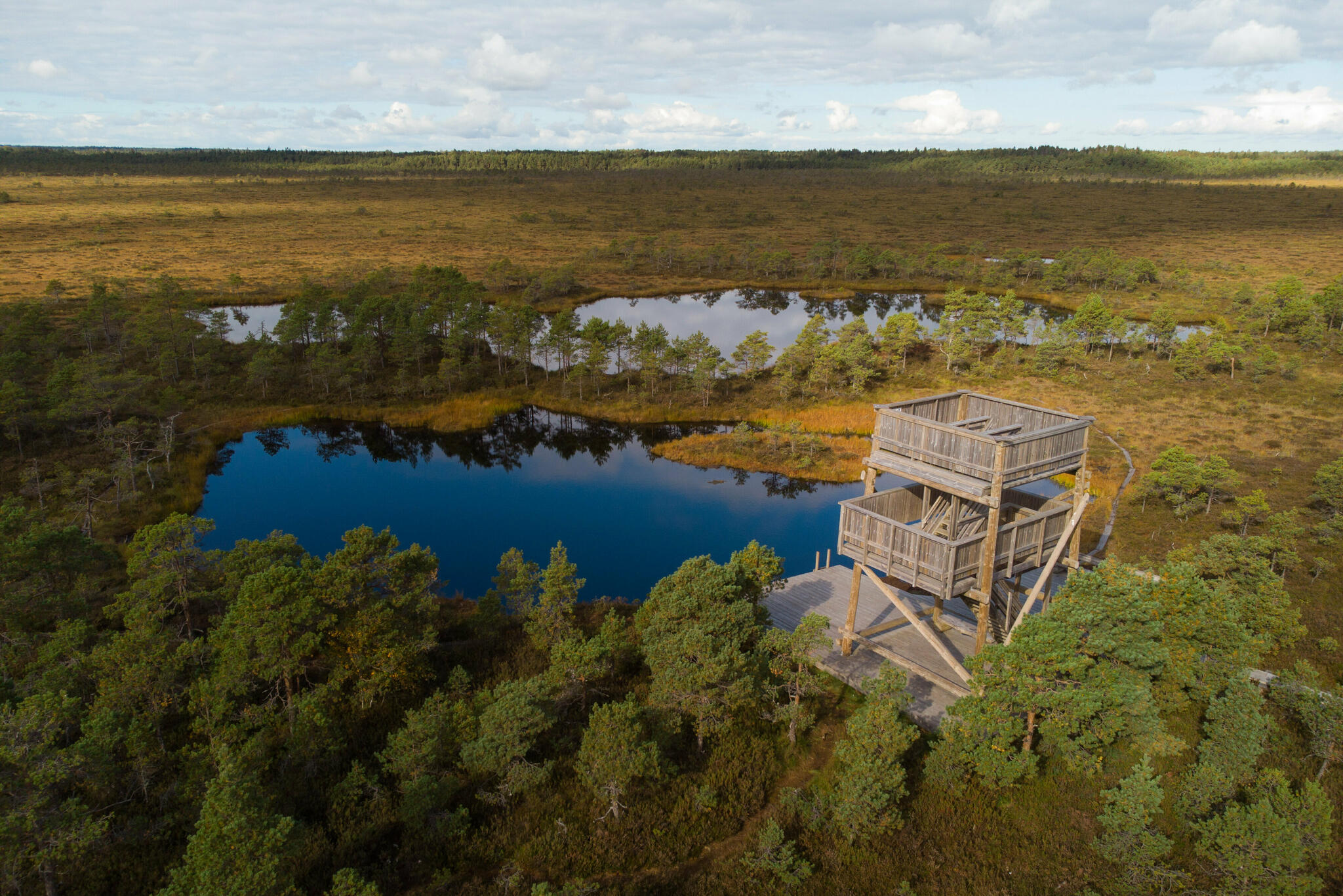
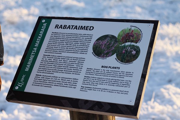
| Amenities | There is an information board with the map of Marimetsa Nature Reserve and trail map and the sign to the trail at the start of the trail. The first part of the trail (2.5 km) is partly covered with bark mulch, has DC and 3 small information boards. The boardwalk in the bog (1.94 km) has 3 rest stops and 10 small information boards. The trail also features an 7,6 m high observation tower. |
| Hiking options | yes |
| Sights | Marimetsa stream, Kuresilma hill, Marimetsa fen, transitional mire, raised bog and bog pools |
| Additional information |
|
| Restrictions | The trail is situated in the special management zone of Marimetsa Nature Reserve. Before your visit, please refer to the protection rules of Marimetsa Nature Reserve here.
Information about restrictions can be obtained from the Environmental Board (+372 662 5999, info@keskkonnaamet.ee).
|
| Location | Rõuma village, Lääne-Nigula municipality, Lääne County |
| Driving directions | Drive 3 km on Risti–Virtsu road, turn right at Rõuma (see the sign for the hiking trail). After 300 m arrive at the parking space with an information board with trail map and trailhead. |
| Geographic coordinates | Long-Lat WGS 84 latitude: 58.963967 longitude: 24.065672 |
| L-EST 97 x: 6536104 y: 503778 |

_block.jpg)

_block.jpg)