Mummassaare campfire site
Ida-Viru County , Northern Shore of Lake Peipus Recreation Area
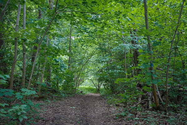
The campfire site is located just near the beach. The name Mummassaare is believed to come from the French language (Mon Blansière - my pleasure). In the 19th century, this beach was a summer resort for the noblemen and merchants of St. Petersburg and Narva. In particular, Mummassaare is captivated by its nature. Here and there spring streams flow into the sea and make the vegetation lush. In 1936, a rare Bronze Age ax was found near Mummassaare. The so-called Tannenberg Line from the Second World War also started here, which is a complex of fortifications that ran across the Sinimägi Mountains and Sirgala to the middle part of the Narva River.
| Phone | Kauksi Visitor Centre
+372 5681 5722
|
| info.alutaguse@rmk.ee | |
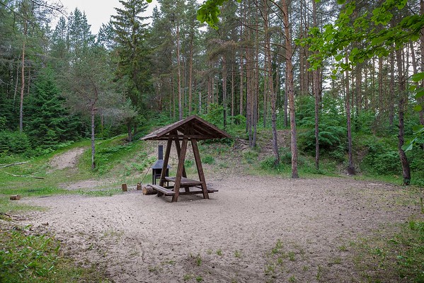
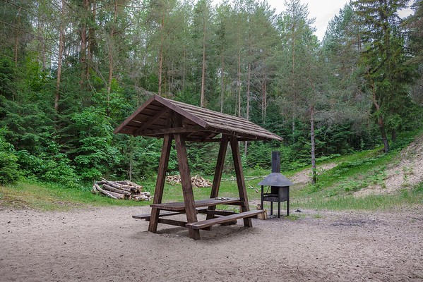
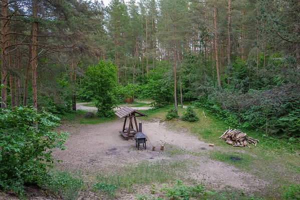
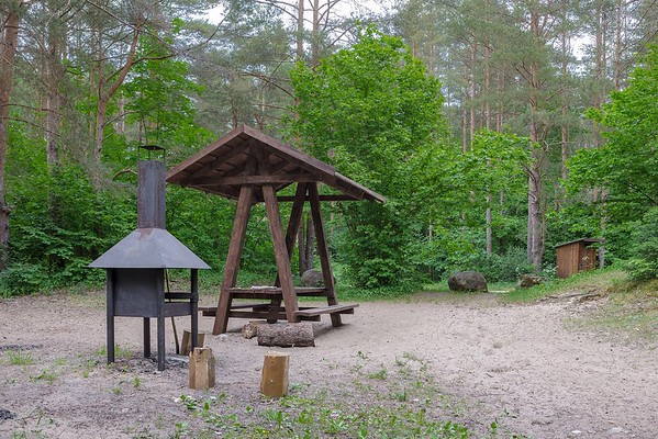
| Type of object | Campfire site |
| Parking facilities | On the hill, about 150 m from the campfire site |
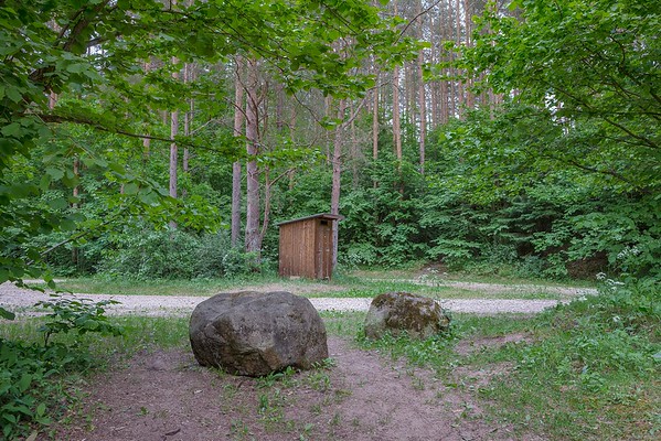
| Amenities | Outdoor fireplace, picnic table with shelter, dry toilet, information board |
| Camping facilities |
Maximum 10 tents (for four) allowed |
| Outdoor fireplace | yes |
| Hiking options |
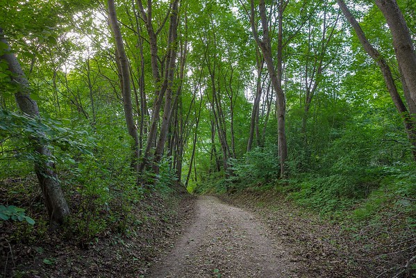
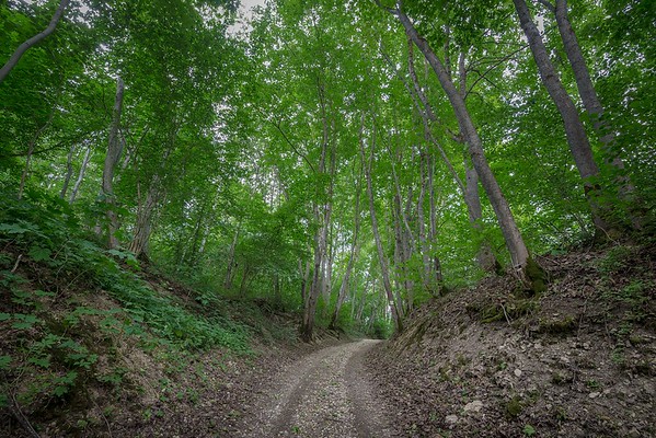
RMK Penijõe-Aegviidu-Kauksi hiking route |
| Sights | During World War II, the Tannenberg Line went through Mummassaare – severe defensive battles were held here for 3 months in 1944. There was a cemetery in Mummassaare for about 2000 Estonian soldiers and military officers who perished during the battles. |
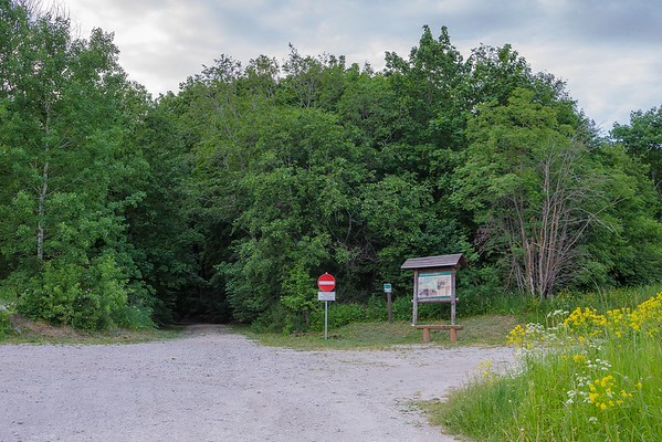
| Additional information | Before going on a nature walk, please read the Environmental code of conduct (freedom to roam), rules of conduct and waste-sorting polisy |
| Location | Narva-Jõesuu city, Ida-Viru County |
| Driving directions | At the 191st km on Tallinn–Narva road at Vaivara, turn left towards Udria and Pimestik (see the sign by the road). Drive along the road up to the sign “Mummassaare 1”. This will lead you to the parking area, where a sign directs you to Mummassaare camping site, which is 250 m away by the sea. |
| Geographic coordinates | Long-Lat WGS 84 latitude: 59.399115 longitude: 27.878612 |
| L-EST 97 x: 6590944.1 y: 720219.5 |