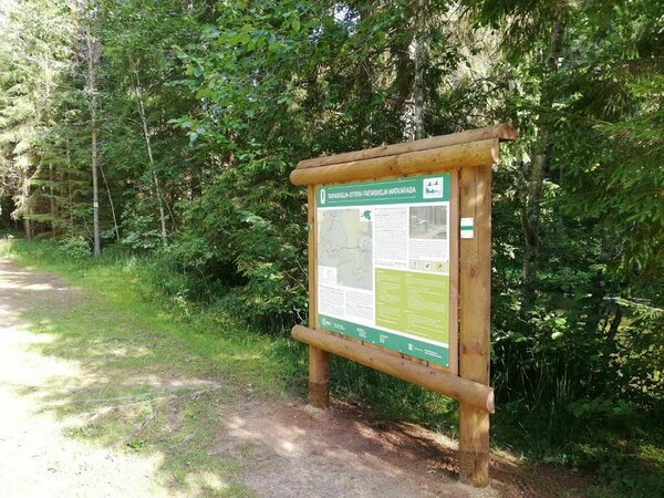
Taevaskoja-Otteni-Taevaskoja hiking trail (3,8 km)
Põlva County, Kiidjärve–Kooraste Recreation Area
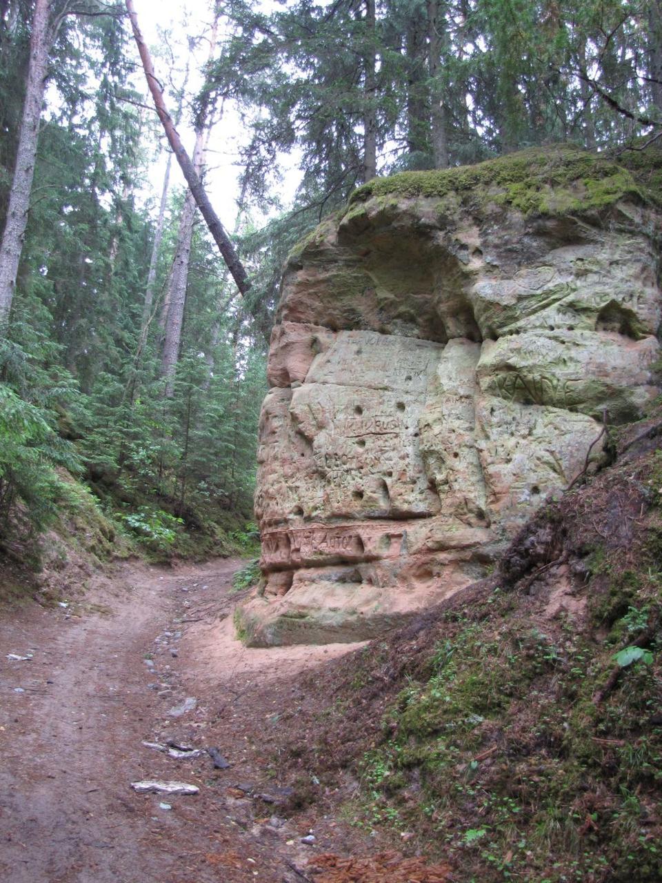
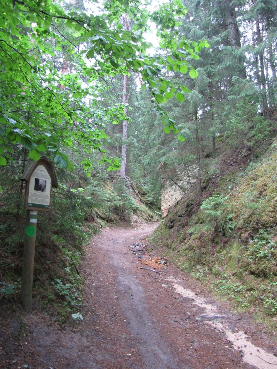
Prohibition of movement by the outcrop - danger of cave in!
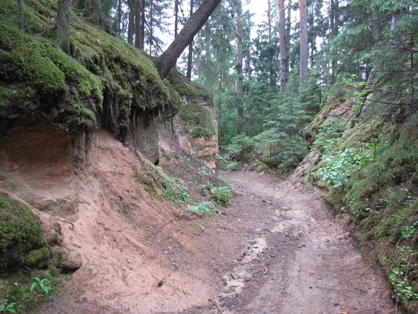
Starting from Suur Taevaskoda the trail takes you to the high banks of Ahja River.
| Phone |
+372 676 7122
|
|
info.kiidjarve@rmk.ee
| |
| Type of object | Hiking trail |
| Parking facilities | Parking in Taevaskodade parking area for 30 cars |
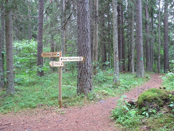
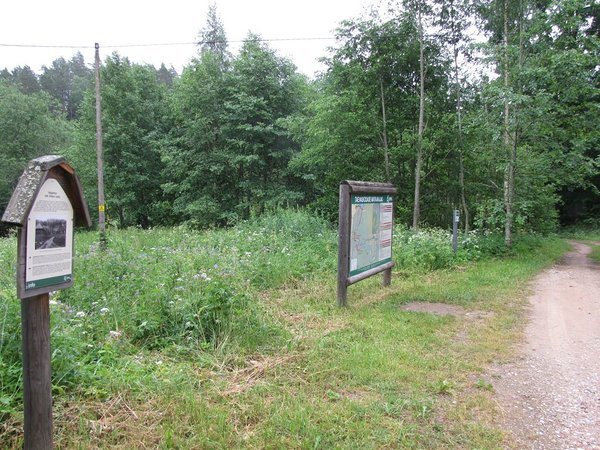
| Amenities | Indicated with green signs, supported with information boards |
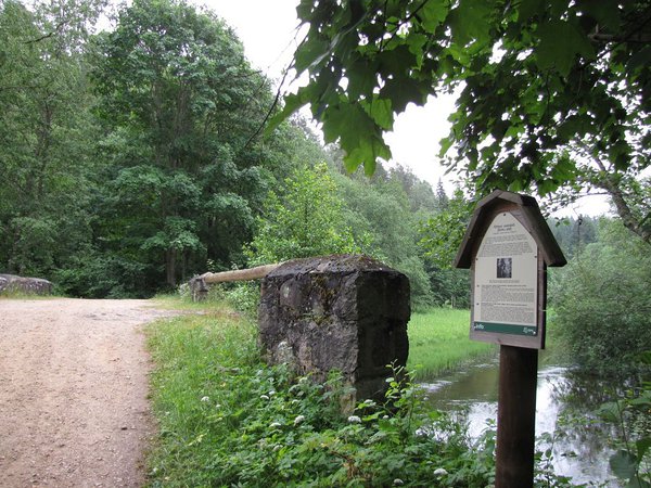
| Camping facilities | The nearest is Otteni campfire site. |
| Outdoor fireplace |
Outdoor fireplace with grillrest in Otteni campfire site.
|
| Water | Non-potable water from Ahja River. |
| Hiking options |
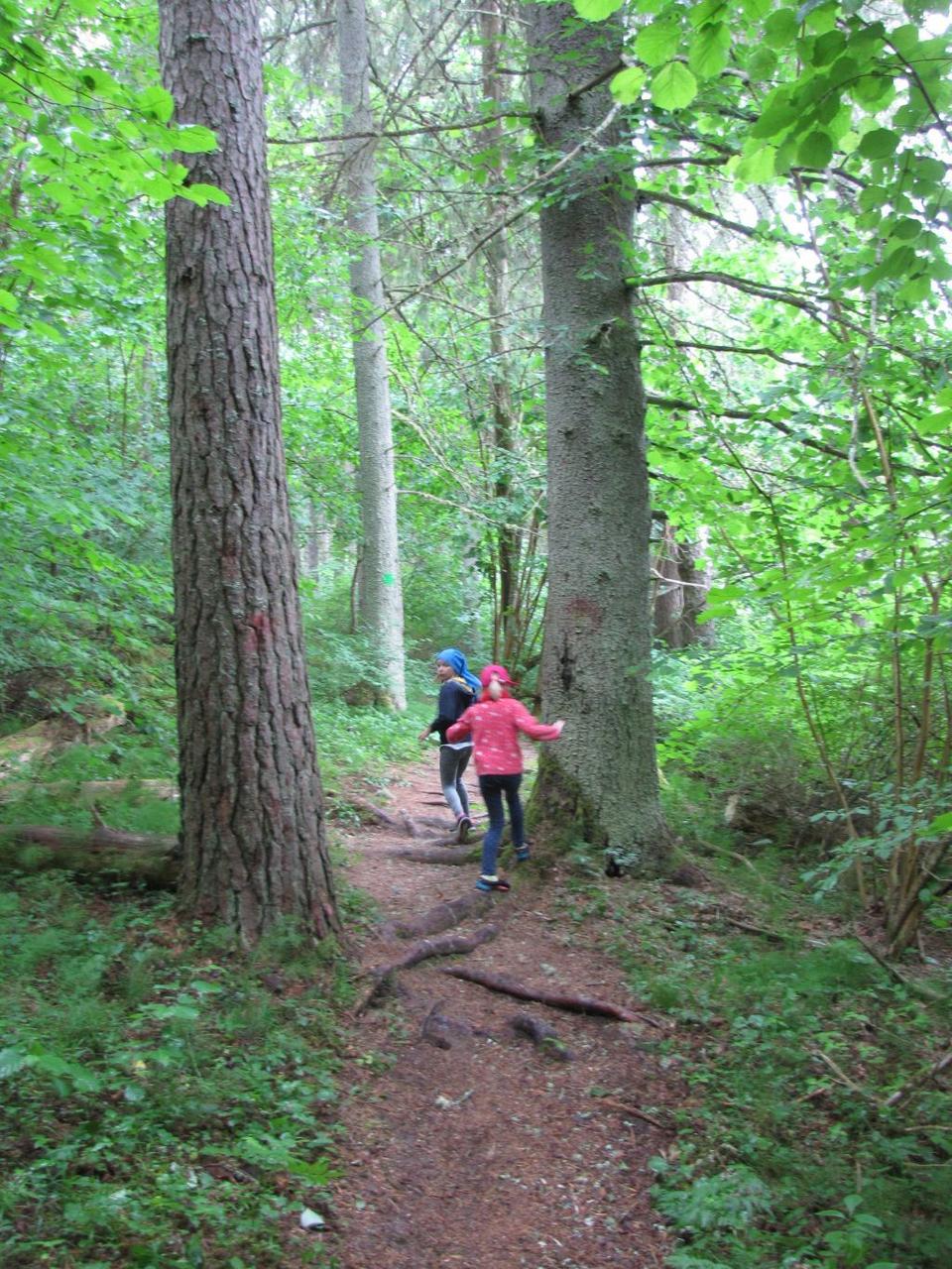
The trail is only for walking! Taevaskodade hiking trail starting from Taevaskodade parking area, Kiidjärve-Taevaskoja-Kiidjärve hiking trail (11,8 km) on the banks of Ahja River, RMK Peraküla-Aegviidu-Ähijärve Hiking Route. |
| Sights |
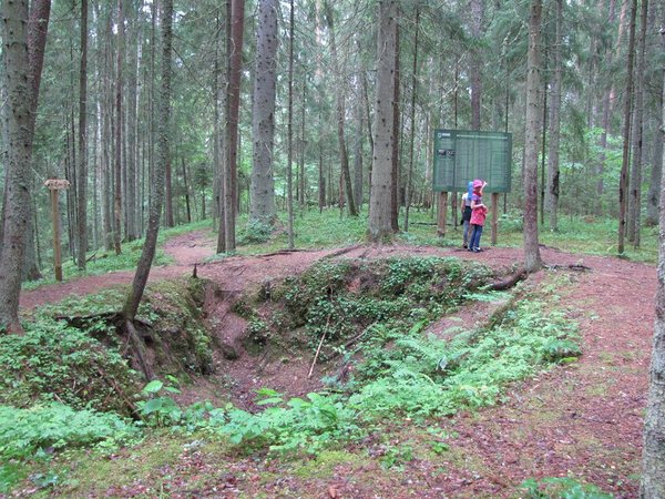
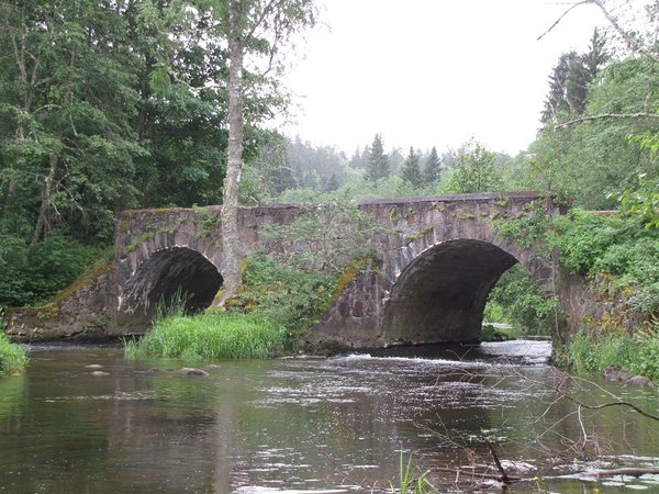
Suur Taevaskoda, partly preserved Otteni/Valgesoo watermill, Otteni arched watermill bridge, miniature canyon, picturesque views to Ahja River, information board by bushwhackers` hollow. |
| Additional information |
|
| Restrictions |
The trail is located in the Ahja River Valley Landscape Protection Area. Information about restrictions can be obtained from the Environmental Board (+372 662 5999, info@keskkonnaamet.ee).
|
| Location |
Saesaare-Taevaskoja-Otteni region in Põlva County |
| Driving directions |
Drive from Tartu towards Põlva along the Põlva -Reola road. 6 km before Põlva, turn to the left towards Taevaskoja. Drive 3,5 km along Kanariku-Kiidjärve road (road nr
18146). Drive through Taevaskoja till before Saesaare bus stop there is the sign "Taevaskoda". Drive 400 m to Taevaskodade parking area. From there on foot to Taevaskodade hiking trail, Taevaskoja-Otteni-Taevaskoja hiking trail starts under Suur-Taevaskoda. |
| Geographic coordinates | Long-Lat WGS 84 latitude: 58.108083 longitude: 27.051642 |
| L-EST 97 x: 6444864,4 y: 679842,6 |