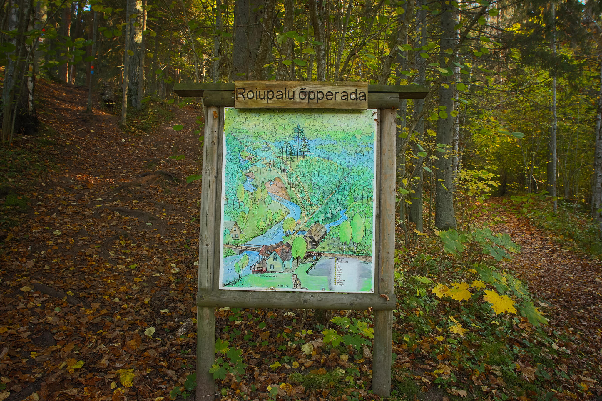
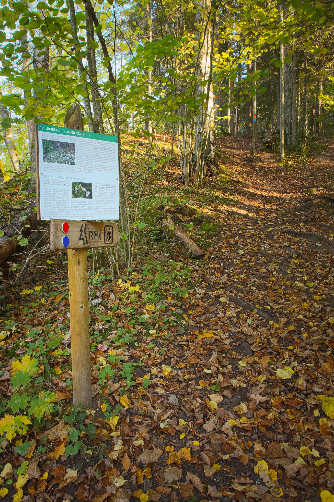
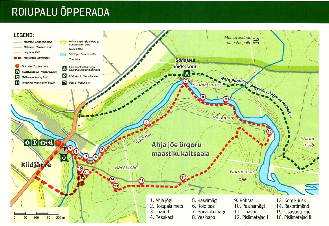
Roiupalu study trail (3 km)
Põlva County, Kiidjärve–Kooraste Recreation Area
Due to the spring flood, we recommend using waterproof shoes when walking on the hiking trail!
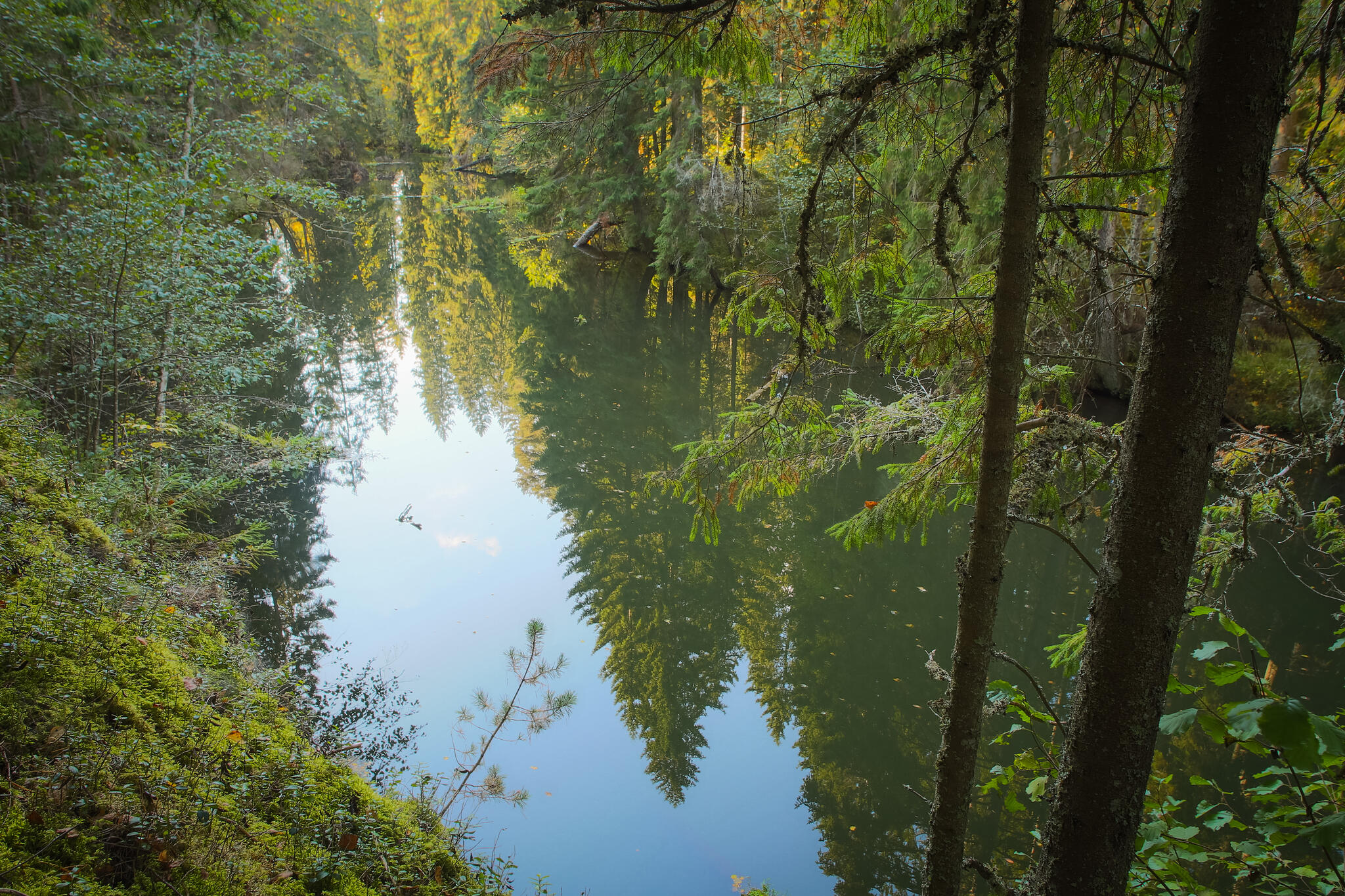
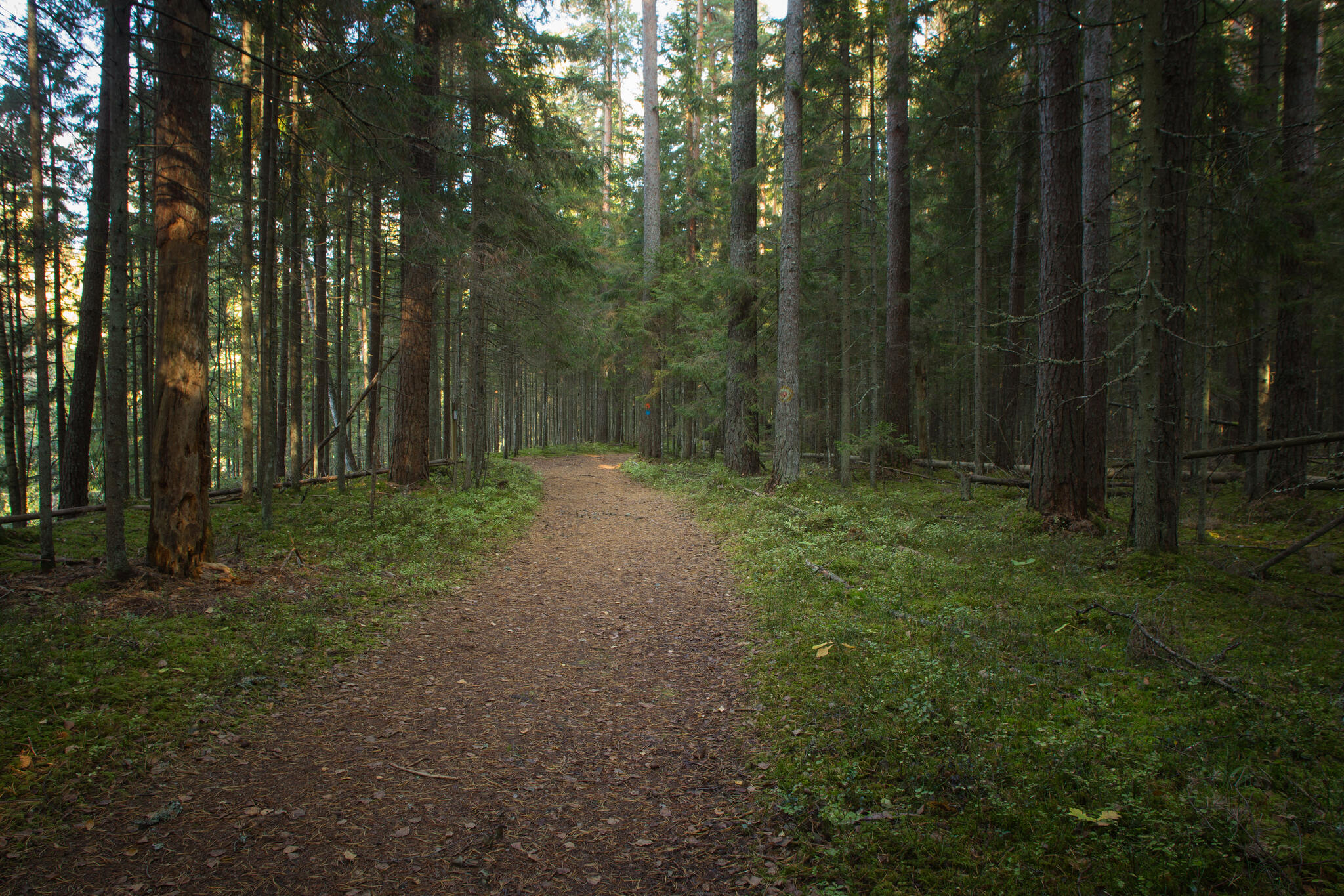
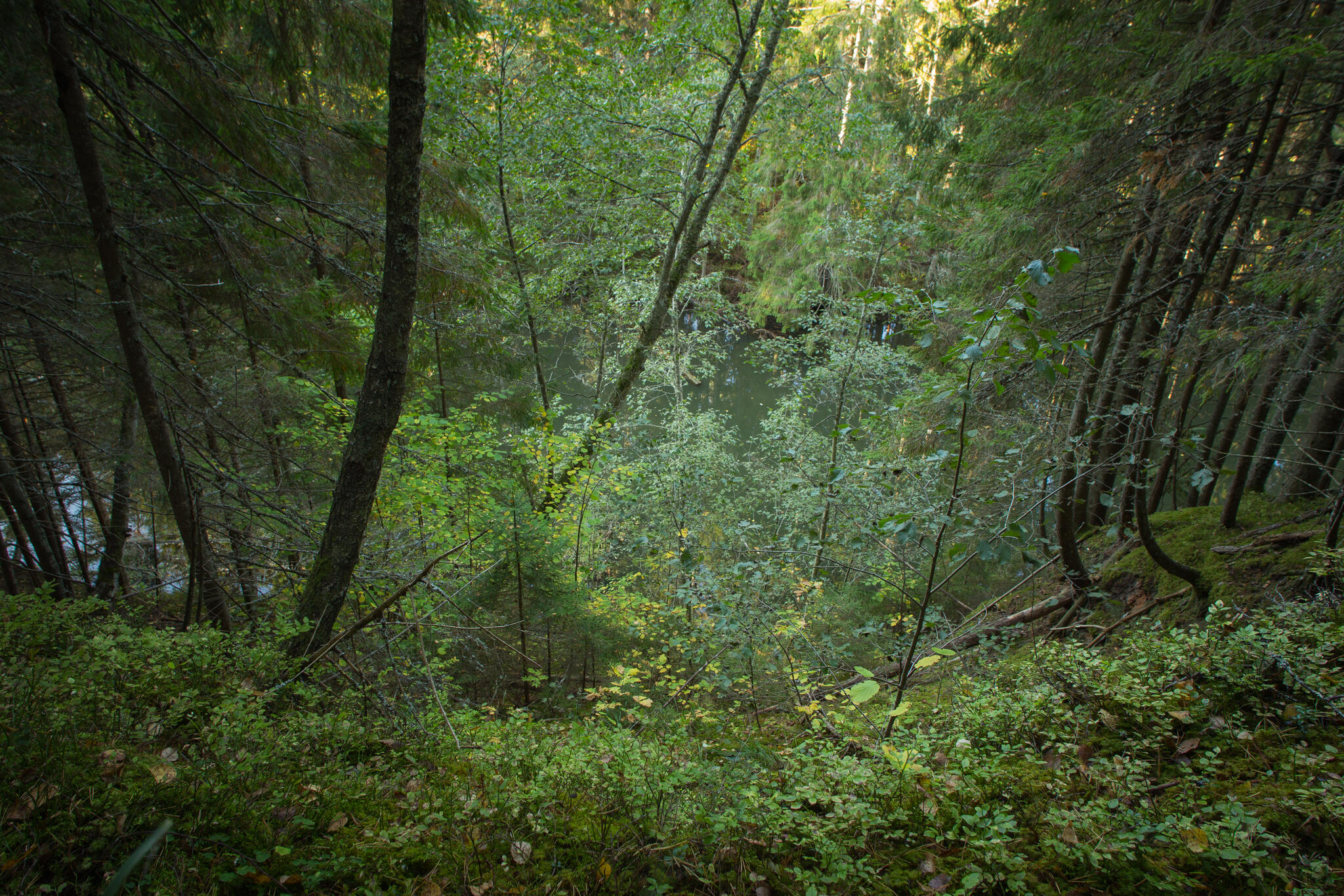
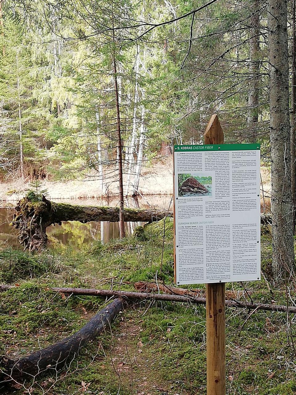
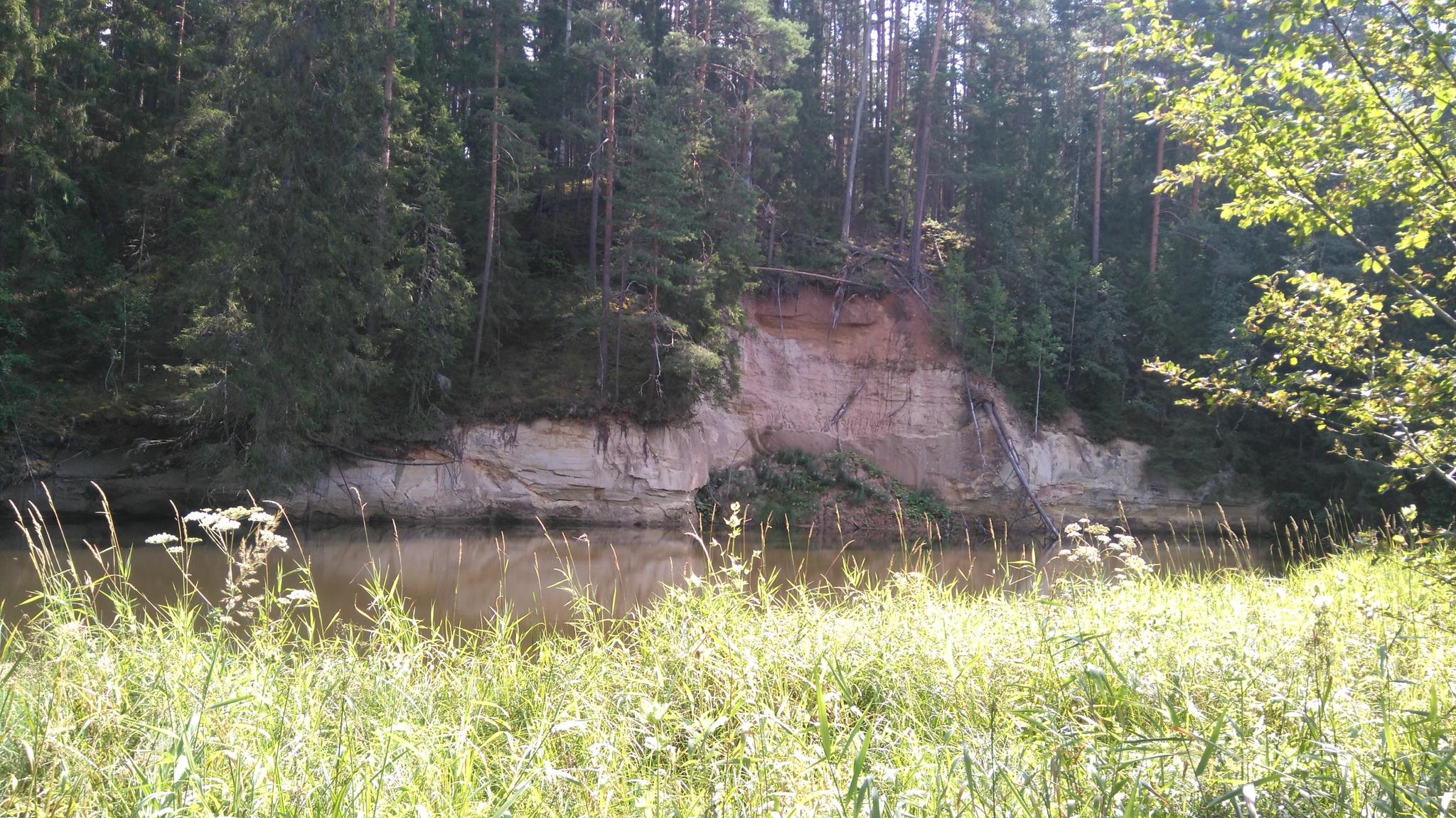
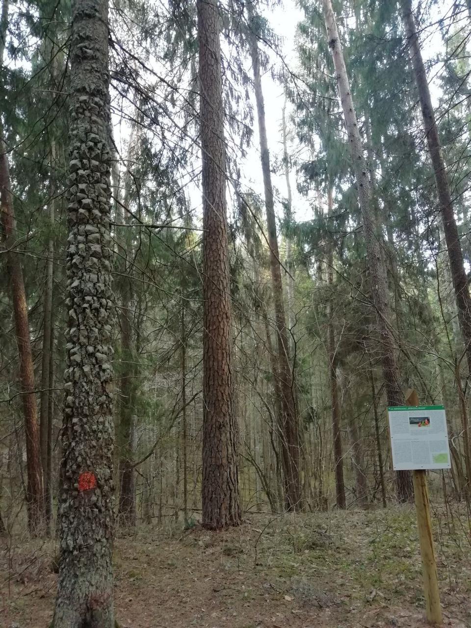
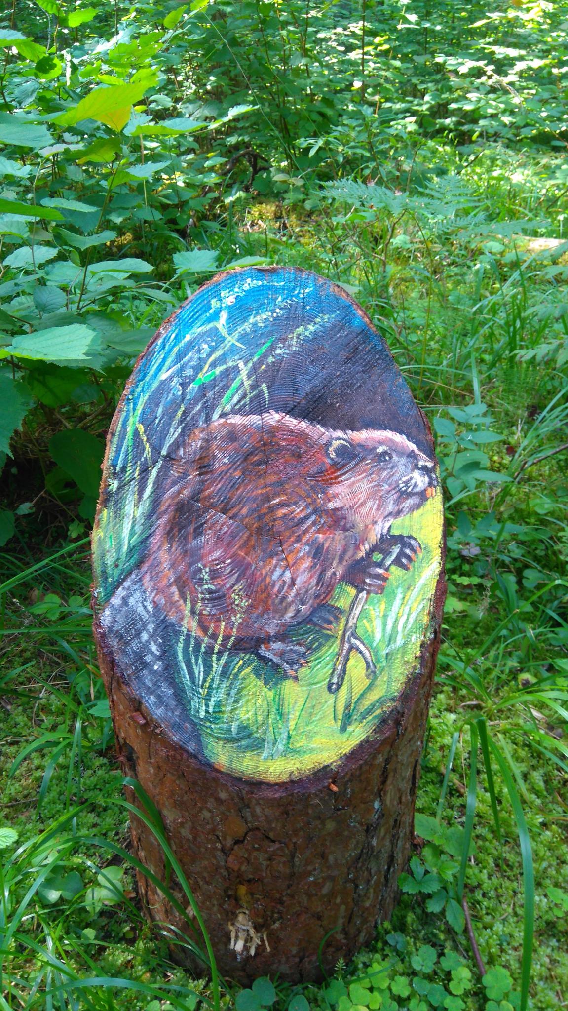
This 3 km trail introducing the wildlife of South Estonia offers many good emotions to visitors. A good place to spend an active afternoon. In this trail you can see a surprising number of sights that are characteristic to the whole of South Estonia: the twisting Hatiku stream, views down on the Ahja river, the only patch of marsh at Linapatch on the slopes of the Ahja river valley, a spruce tree with atypical bark ("cork spruce") and the record-breaking pine-tree.
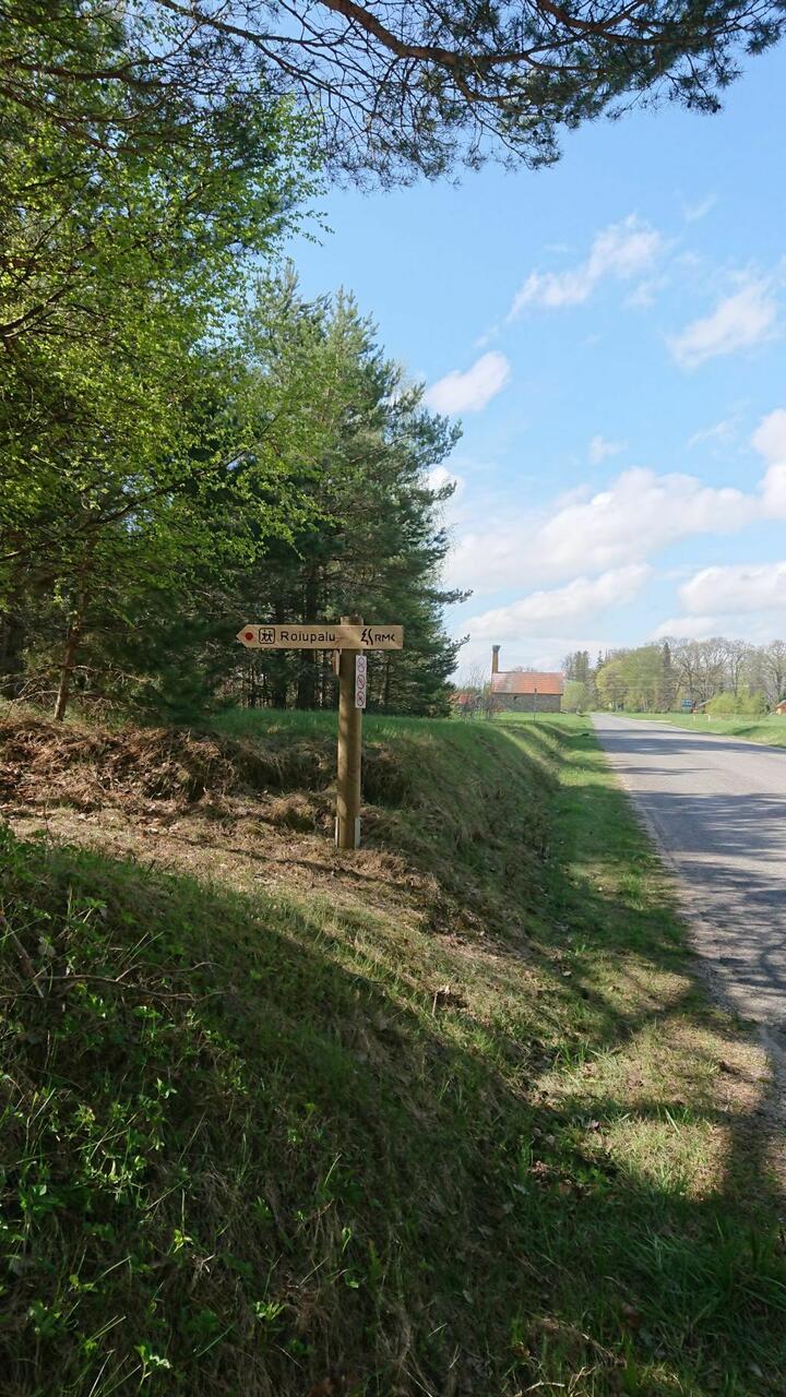
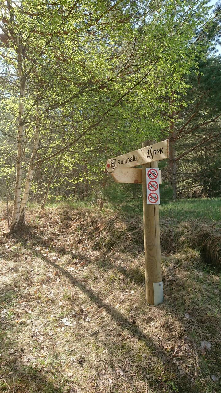
The trail is only for walking!
The trail is only for walking!
| Phone | +372 676 7122 |
|
info.kiidjarve@rmk.ee
| |
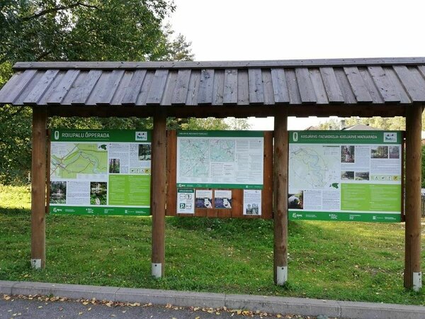
| Type of object | Study trail |
| Parking facilities | Parking for max 10 cars in Kiidjärve visitor centres parking area. |
| Amenities | Information boards (in Estonian-English) along the study trail, dry toilet at the parking area. The study trail map is available at the Visitor Centre. The study trail is marked with red dots on signposts and trees. |
| Hiking options | The trail is only for walking! Kiidjärve-Taevaskoja-Kiidjärve hiking trail (11,8 km) is the part of Roiupalu study trail. |
| Sights | Sõnajalamägi hill, Palanumägi hill, Linasoo bog, Kunnimägi hill, spruce with atypical bark (Picea abies f. Tuberculata), the tallest pine tree, sacrificial rock, Hatiku stream, Ahja River. |
| Berries and mushrooms | Bilberries, mushrooms |
| Additional information |
|
| Restrictions | The trail is located in the Ahja River Valley Landscape Protection Area. Information about restrictions can be obtained from the Environmental Board (+372 662 5999, info@keskkonnaamet.ee). |
| Location | Põlva County, Põlva municipality, Kiidjärve. Object no 12 on the recreation area map. |
| Driving directions | Drive along Põlva–Reola road from Tartu towards Põlva. 10 km before Põlva turn left at the Koorvere junction towards Kiidjärve. Continue 4 km along Akste–Häätaru road (Road no. 18138). 0,6 km after the Kiidjärve Park bus stop there is a large parking area to the left of the road. This is the parking area of RMK Kiidjärve Visitor Centre/information point. Move from the car park to the road, turn right and walk about 50 m until you see a signpost pointing to the left. |
| Geographic coordinates | Long-Lat WGS 84 latitude: 58.139355 longitude: 27.018740 |
| L-EST 97 x: 6448256 y: 677748 |
Click on the map to download it.
(The file is large, therefore the download takes a few minutes.)