Tellingumäe observation tower
Valga County, Haanja–Karula Recreation Area
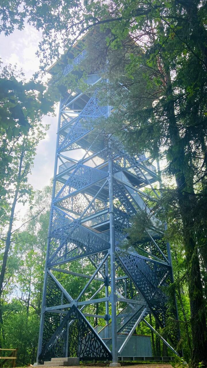
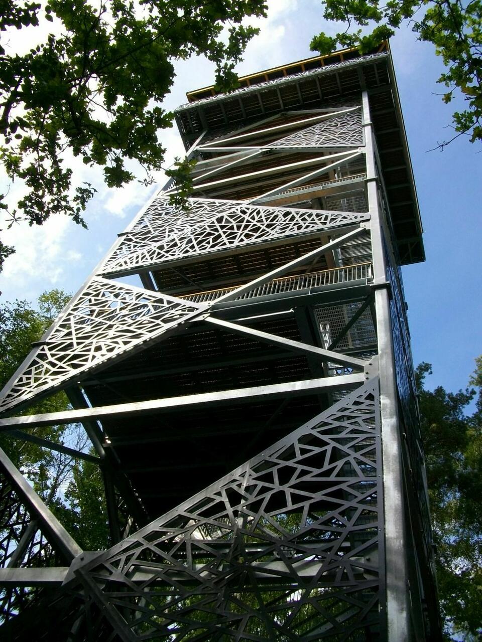
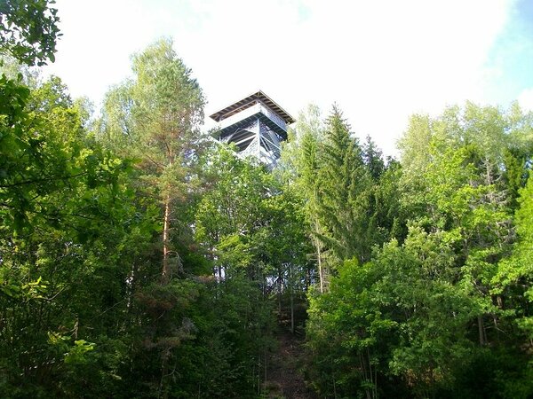
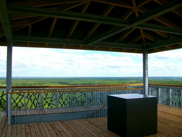
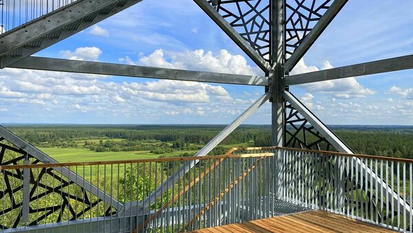
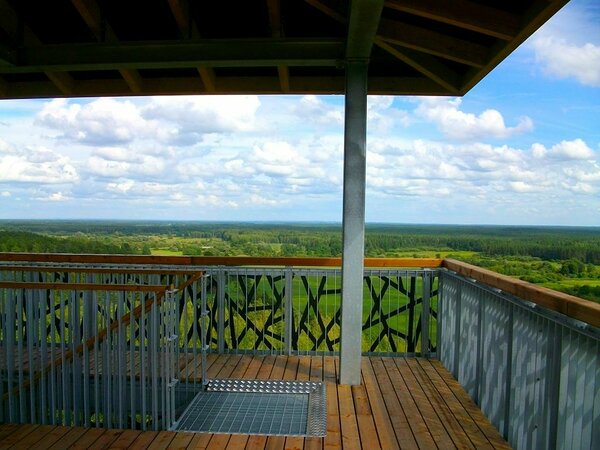
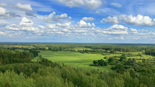
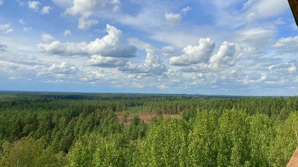
Tellingumäe observation tower offers a wonderful view of the winding River Mustjõgi gorges. Nearby, the Mustjõgi River joins the Koiva River (Gauja), which is the Estonian-Latvian border river for 22 kilometers. In 2023, instead of the old Tellingumäe wooden tower, a new observation tower with a metal structure was completed, with a height of 5 m more than the previous one. The upper viewing platform is 25 meters above the ground. The absolute height of the top of the tower above sea level is 121 meters.
| Phone | +372 501 9564 |
|
info.pahni@rmk.ee
| |
| Type of object | Observation Tower |
| Parking facilities | Parking at Cycling trails campfire site |
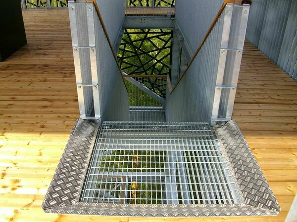
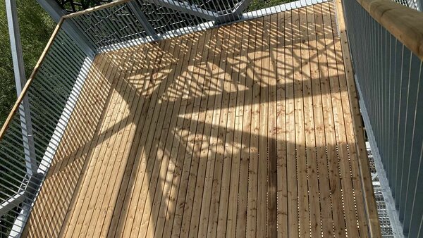
| Amenities | A 29-meter-high observation tower with a metal structure. |
| Outdoor fireplace | Tellingumäe campfire site is located near the tower |
| Hiking options |
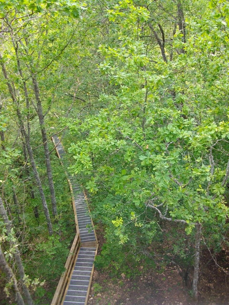
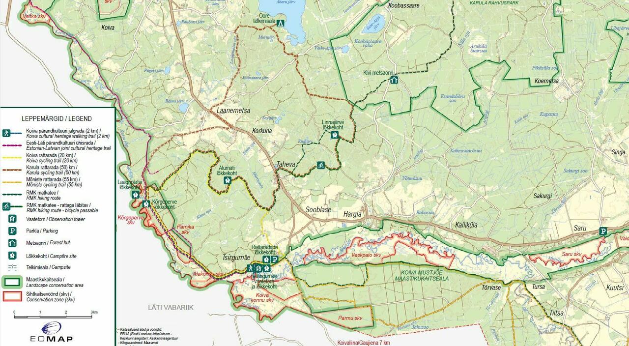
At the foot of the Tellingumägi hill, you can go to the indicated Koiva cycling trail (20 km) or Koiva cultural heritage walking trail (2 km) around the hill.
|
| Sights | A view of the landscape of the outskirts of the two countries, the highlands of Karula, Haanja and Kornet, the gorges of Koiva and Mustjõgi and the sprawling forest massifs. |
| Additional information |
Before going on a nature walk please read the Environmental code of conduct (freedom to roam), rules of conduct and waste-sorting policy
|
| Location | Tsirgumäe village, Valga municipality, Valga County. Object no 5 on the recreation area map. |
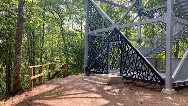
| Driving directions | On Võru–Valga road (Road no. 67), 53 km from Võru, about 1.5 km after Hargla, turn left (follow the sign “Taheva Sanatoorium”), drive 1.4 km and turn left again. After 1 km drive off the asphalt road onto a narrow gravel road (follow the sign “Tellingumäe vaatetorn”) and after about 1 km you’ll arrive at Tellingumäe campfire site. From the campfire site walk 250 m to Tellingumäe observation tower. |
| Geographic coordinates | Long-Lat WGS 84 latitude: 57.597604 longitude: 26.328149 |
| L-EST 97 x: 6386332 y: 639197 |