Paganamaa study trails (3.8-4.7 km)
Võru County, Haanja–Karula Recreation Area
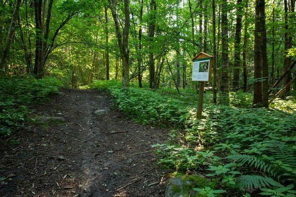
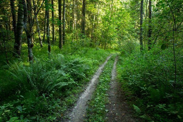
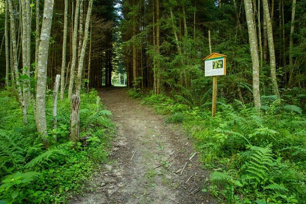
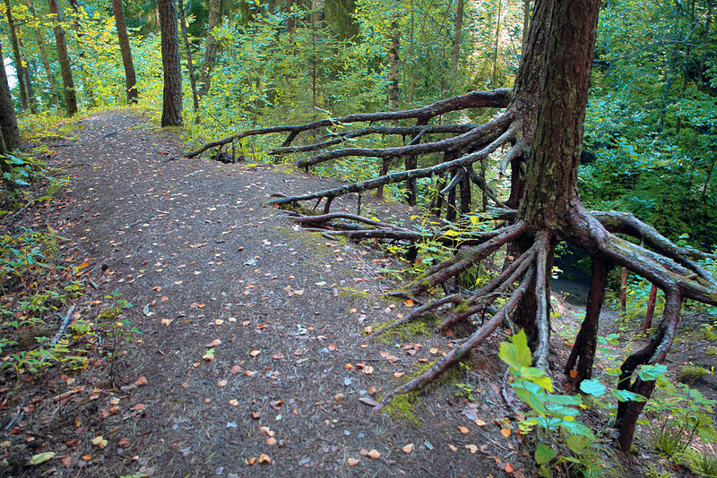
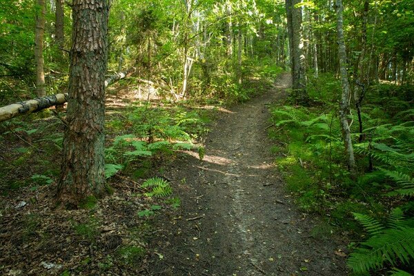
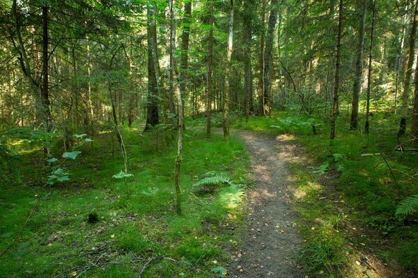
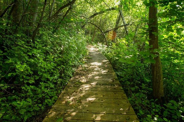
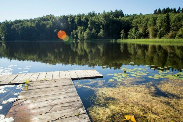
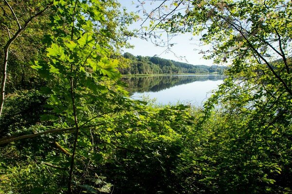
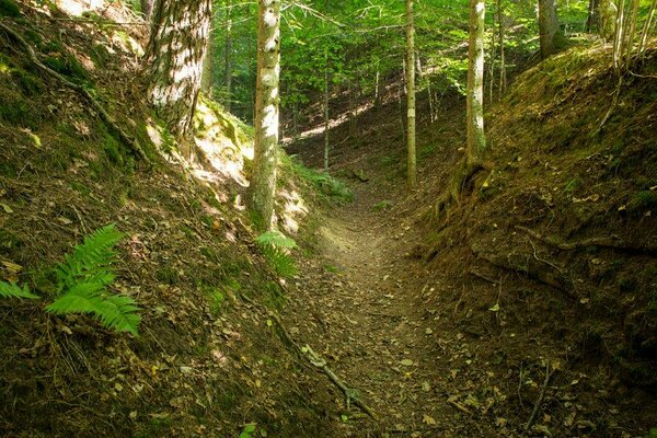
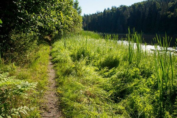
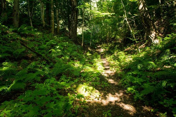
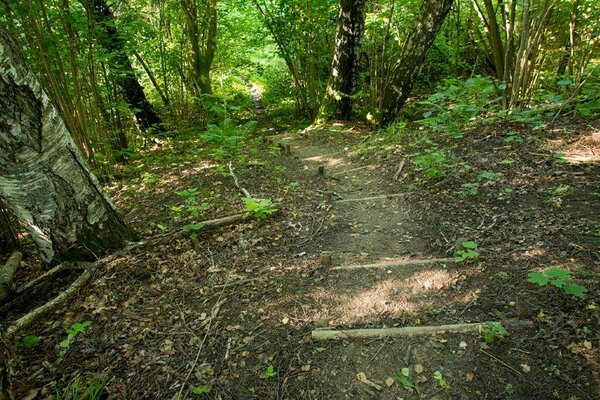
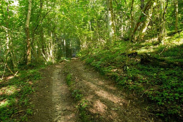
There are three marked trails, and you can choose a walk of 4.0 or 4.7 km, the 3,8 km long trail is for cycling. All the trails start on the Raadi hill on the edge of the Piirorg valley. The jewels of Paganamaa (Old Heathen’s Land) are the lakes in the Piirorg valley on the Piiroja stream: Kikkajärv, Sarapuujärv, Liivajärv and Mudajärv lakes. The Estonian-Latvian border runs along the medial line of these lakes. This area got its name according to the kettle holes, formed by the retreating glaciers – these kettles are known as the “footprints” of the Old Heathen. The diameter of the kettles is 50–100 m and depth 15–20 m. The slope angles are up to 25 degrees. It is said that in the old days the surroundings of these “footprints” were treeless and the oblong hollows reminded people of huge footprints.
| Phone | +372 501 9564 |
|
info.pahni@rmk.ee
| |
| Type of object | Study trail |
| Parking facilities | Available |
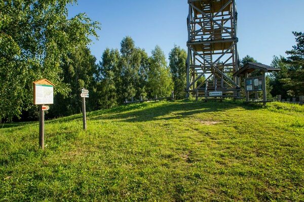
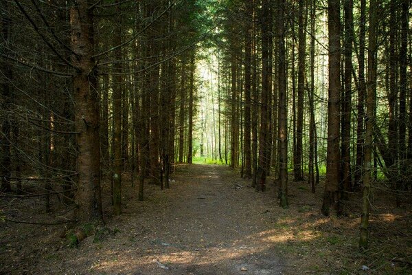
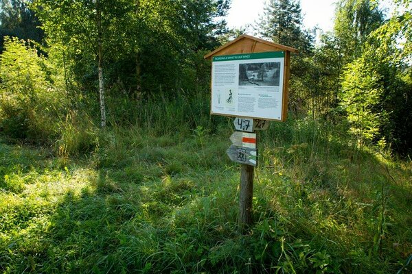
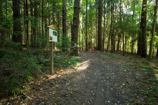
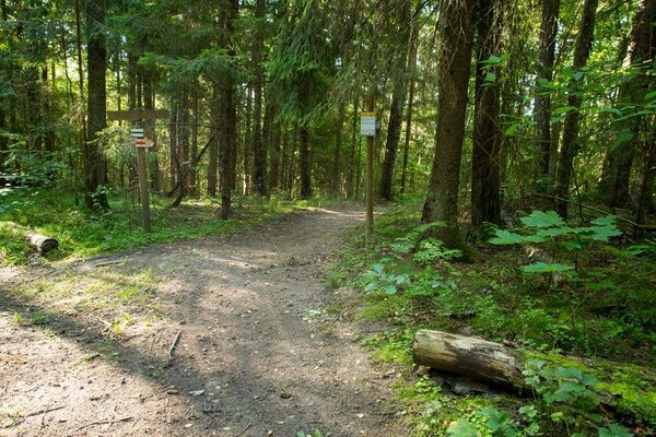
| Amenities | Along the trail there is 1 information board, 12 small information boards, 2 campfire sites, 1 dry toilet. The trails are 4.0 km, 4.7 km and 3.8 km (by bicycle). |
| Camping facilities |
At the Paganamaa campfire site. |
| Campfire site | Paganamaa campfire site. |
| Hiking options |
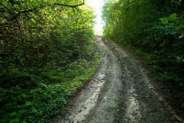
by walking, by bicycle |
| Sights | Piiriorg valley, chain of lakes, landscape. |
| Additional information |
Before going on a nature walk please read the Environmental code of conduct (freedom to roam), rules of conduct and waste-sorting policy
|
| Restrictions |
The study trails are on the Paganamaa Landscape Protection Area, information about restrictions can be obtained from the Environmental Board (+372 662 5999, info@keskkonnaamet.ee). |
| Location | Paganamaa, Rõuge municipality, Võru County. Object no 26 on the recreation area map. |
| Driving directions | On Võru–Rõuge–Vastse-Roosa road, 32 km from Võru (1.5 km from the centre of Krabi) turn left (follow the signs “Paganamaa vaatetorn”, “Paganamaa matkarajad”). Drive 2.2 km to Paganamaa campfire site on the shore of Lake Liivajärv. All the cycling and walking trails in Paganamaa area start at the campfire site. |
| Geographic coordinates | Long-Lat WGS 84 latitude: 57.585415 longitude: 26.834319 |
| L-EST 97 x: 6386140.3 y: 669502.1 |