RMK Penijõe-Aegviidu-Kauksi hiking route/Penijõe-Varbola (84 km)
Pärnumaa, Matsalu national park
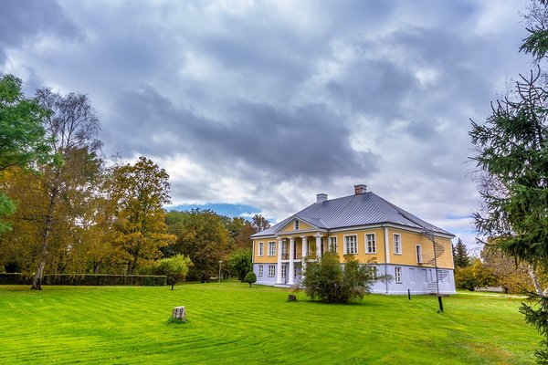
The route starts at the Visitor Centre of Matsalu National Park at Penijõe and runs along existing roads and paths towards Varbola. On the way one can see the scenic flood meadows of the Kasari river, where tens of thousands of birds migrating through Estonia stop over during spring and autumn migration seasons. Then there is the former trackbed running to Virtsu, and the karst areas of Märjamaa. Next, the hiking route travels on ancient coastal formations to Varbola stronghold, which is one of the largest forts in Estonia and was used from the 12th to 14th century. The route also goes through the parks of several well-known or less known manors.
| Phone | Visitor centre of Matsalu +372 513 8783
|
| info.matsalu@rmk.ee | |
| Type of object | Hiking trail |
| Parking facilities | The best facility for long-term parking is at the Visitor Centre of Matsalu National Park. A few cars can also be parked at each campsite along the hiking route. |
| Amenities | The trail is signposted and marked with white-yellow-white paint marks on trees. Rest stops on the trail and distances between them. |
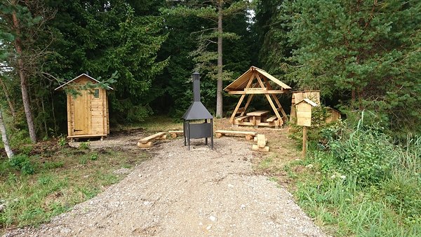
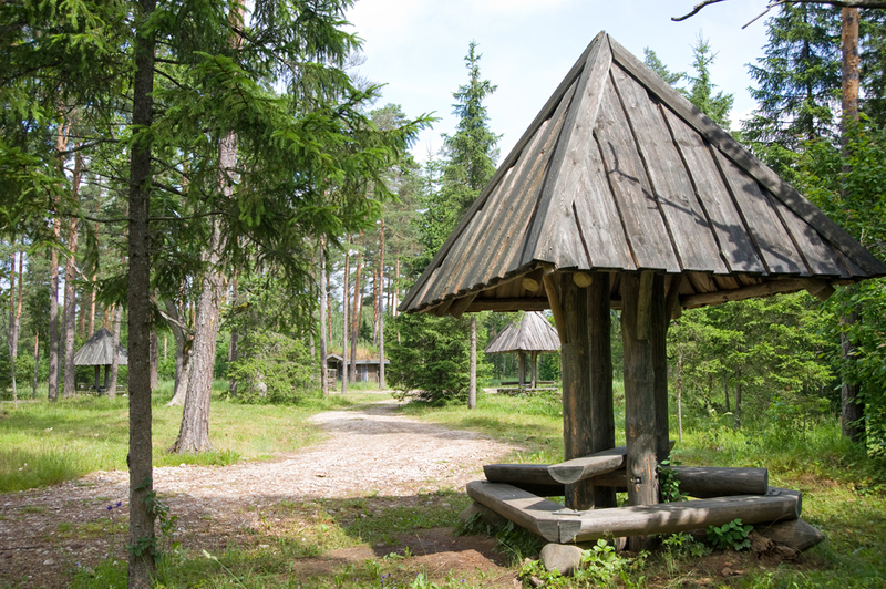
| Camping facilities |
At campsites and campfire sites along the hiking route |
| Campfire site | At campsites and campfire sites along the hiking route |
| Hiking options |
RMK Penijõe-Aegviidu-Kauksi hiking route |
| Sights | Flood meadows of the Kasari river, Märjamaa karst area |
| Additional information |
|
| Location | Pärnu county, Rapla county |
| Driving directions | At the 43th kilometre of the Risti-Virtsu road (Road no. 10) turn right towards Penijõe (at the sign to Matsalu National Park Visitor Centre, "Matsalu rahvuspargi külastuskeskus 2", road no 16193). Drive 2 km to the designated parking area at Penijõe manor. The hiking route starts at the Visitor Centre of Matsalu National Park. |