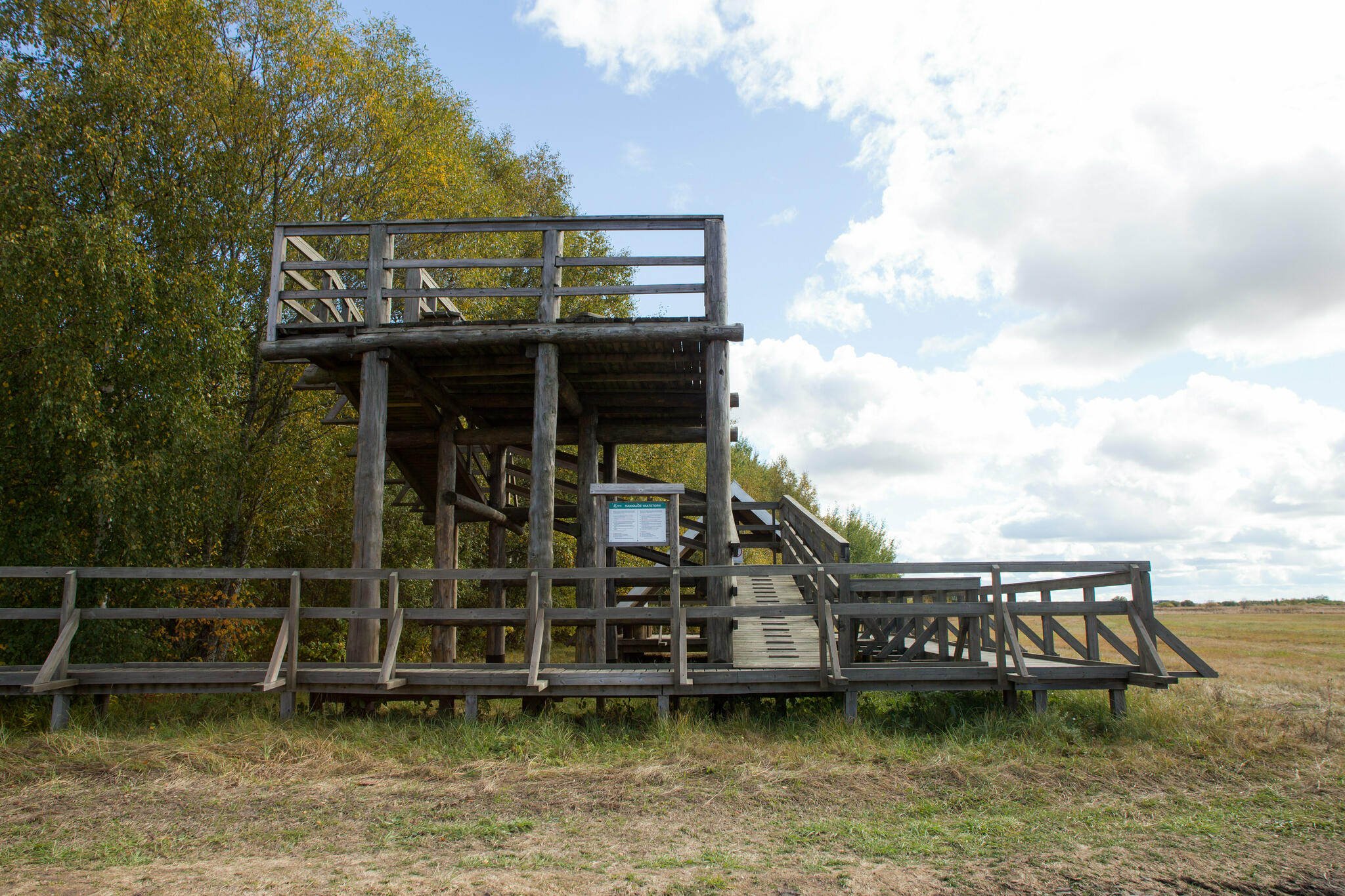
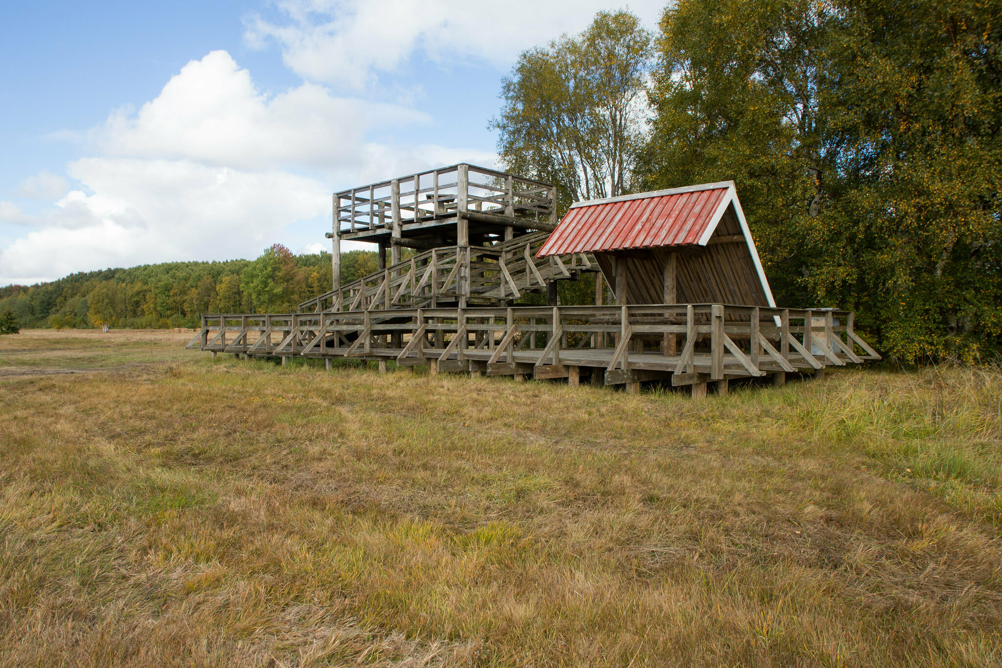
Rannajõe observation tower
Lääne County, Matsalu National Park
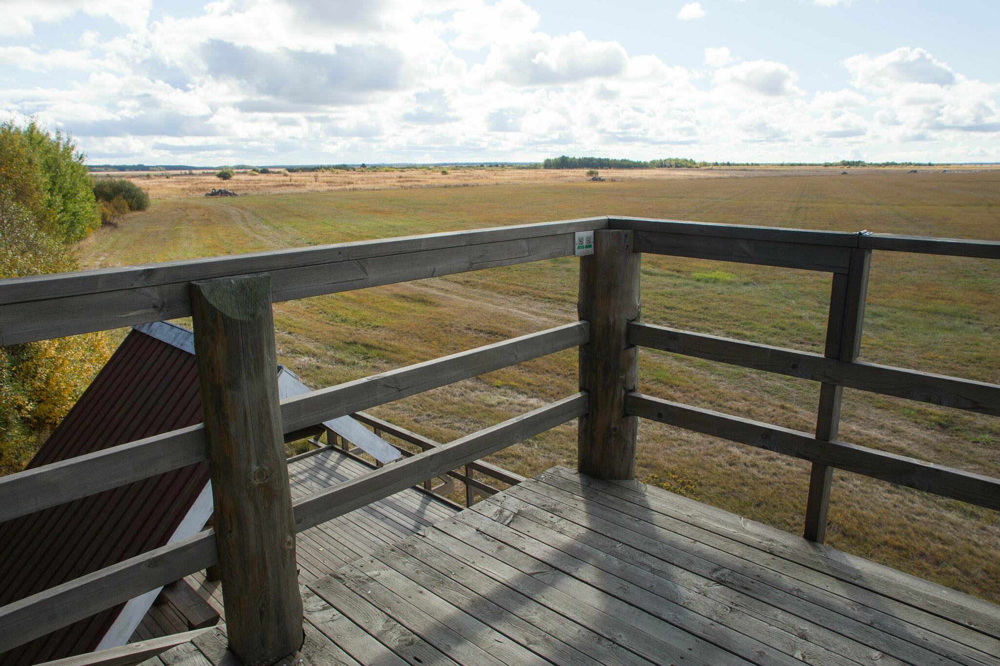
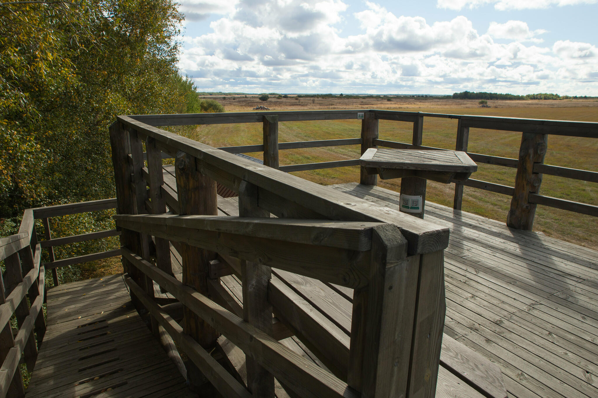
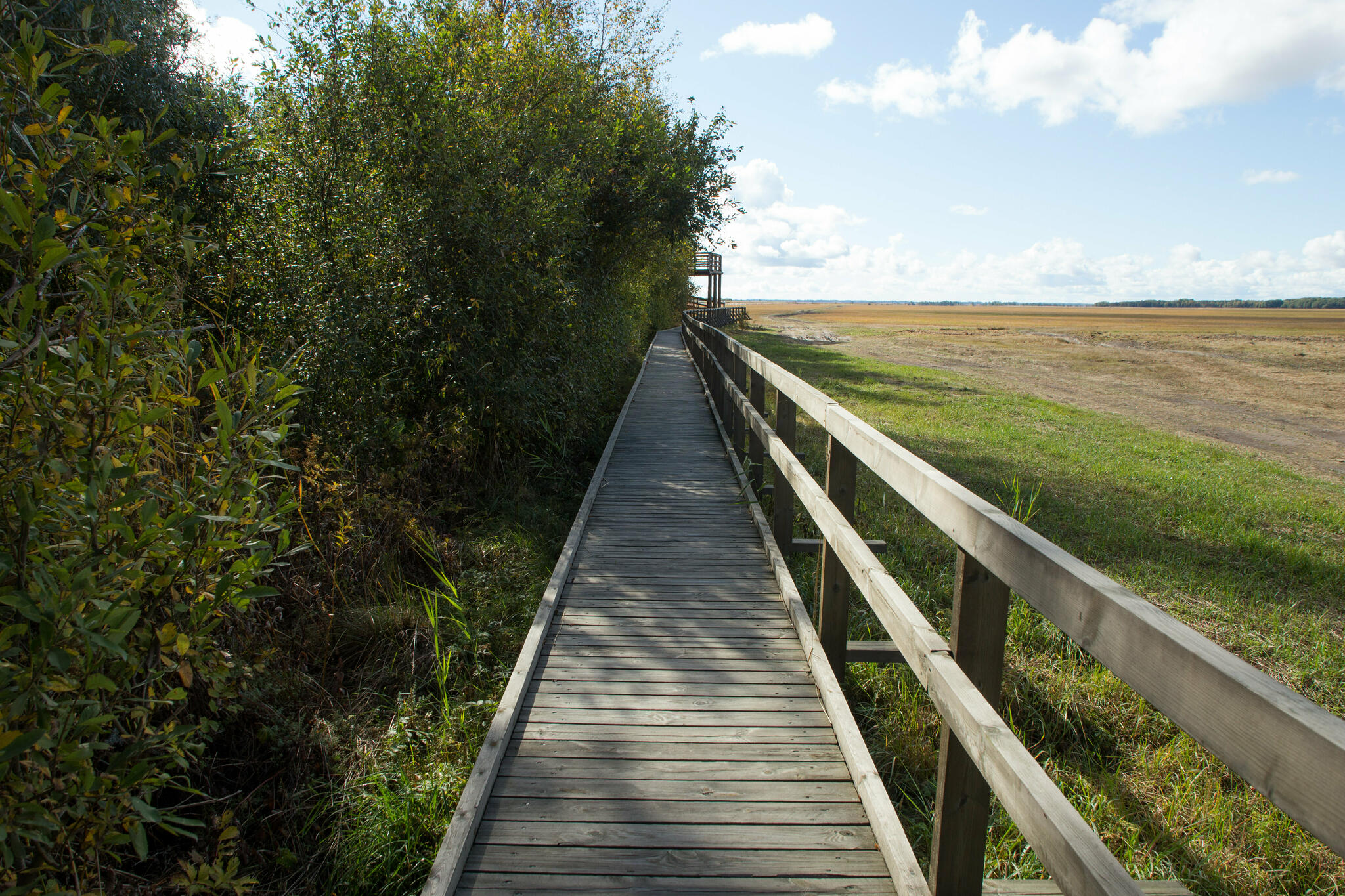
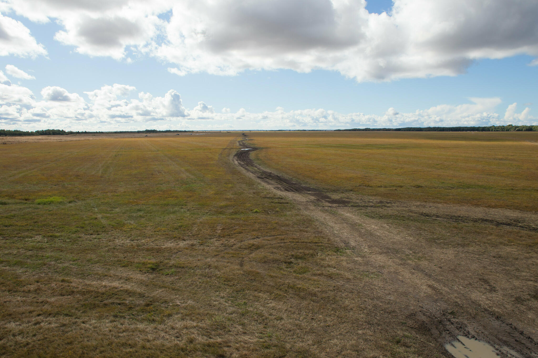
From the observation tower in the northern part of the Kasari floodplain, not far from the Haapsalu–Laiküla road you can enjoy a broad view of the floodplain, which is particularly captivating in spring when it is flooded. Thousands of geese, swans and dabbling ducks, in the summer several species of waders, warbles, corn crakes and many others nest in the floodplain. Moose and roe deer wander around in search of food.
| Phone | +372 513 8783 |
| info.matsalu@rmk.ee | |
| Type of object | Observation Tower |
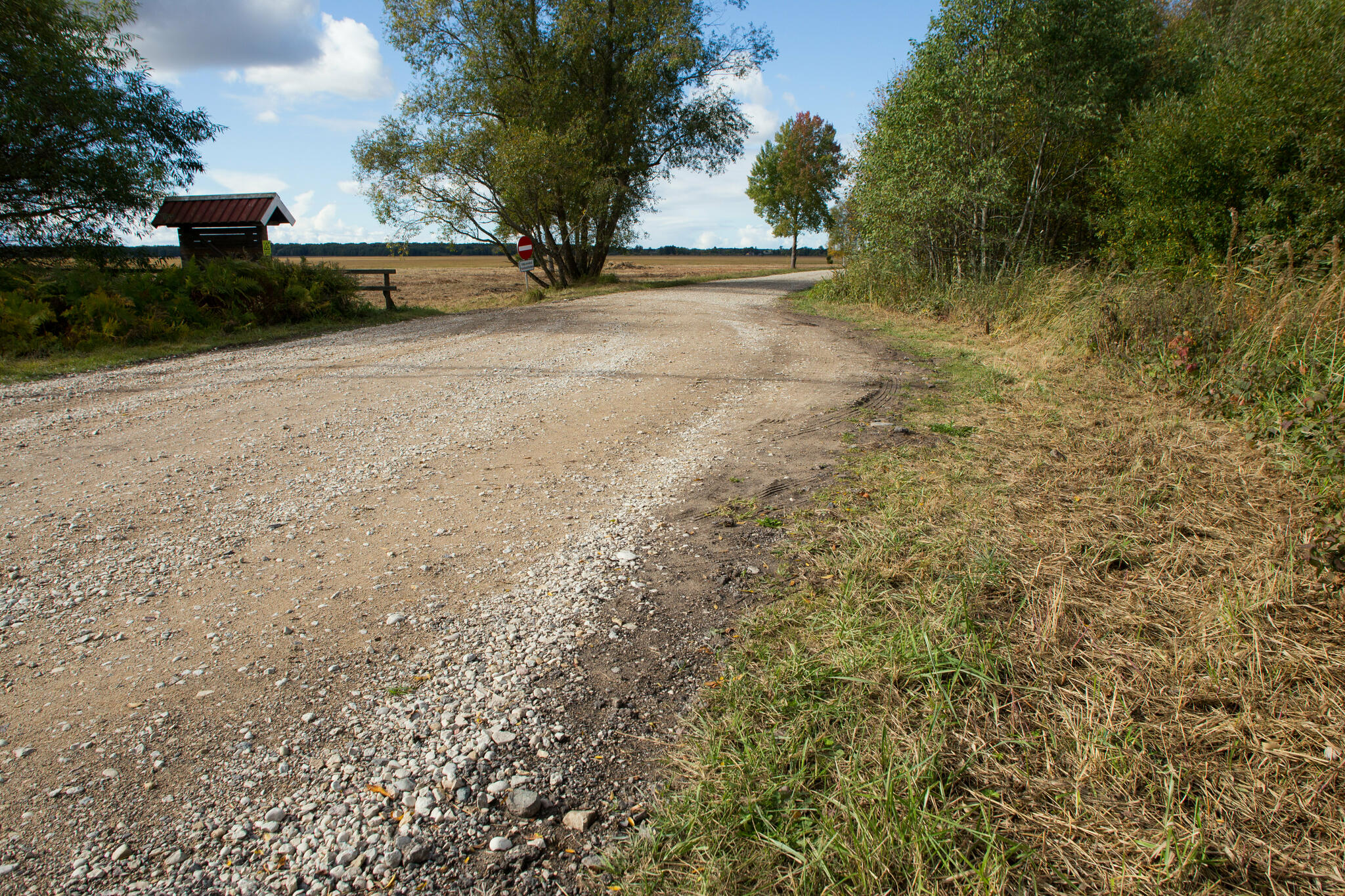
| Parking facilities | Roadside parking for 6 cars or 1 tour bus |
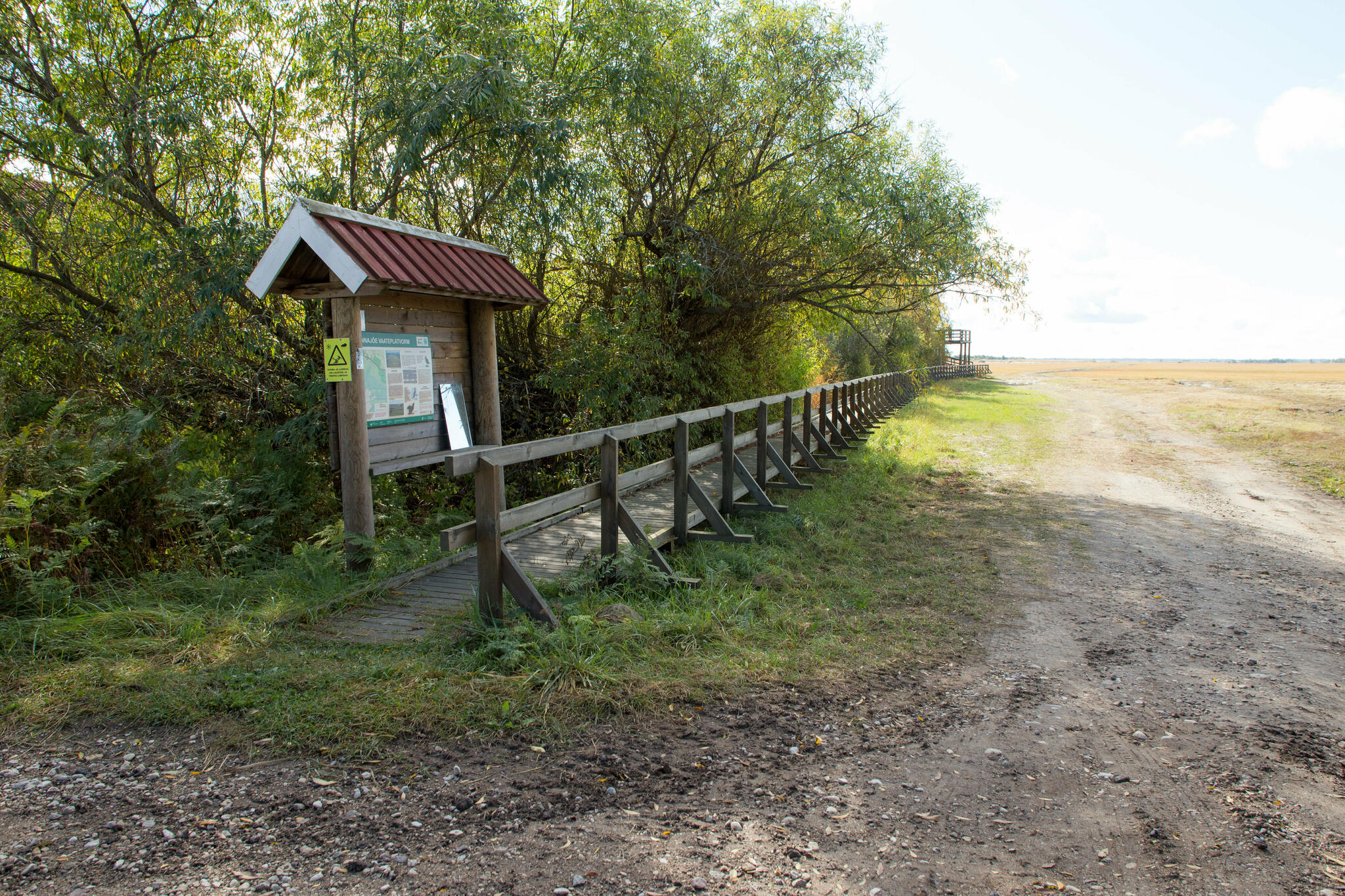
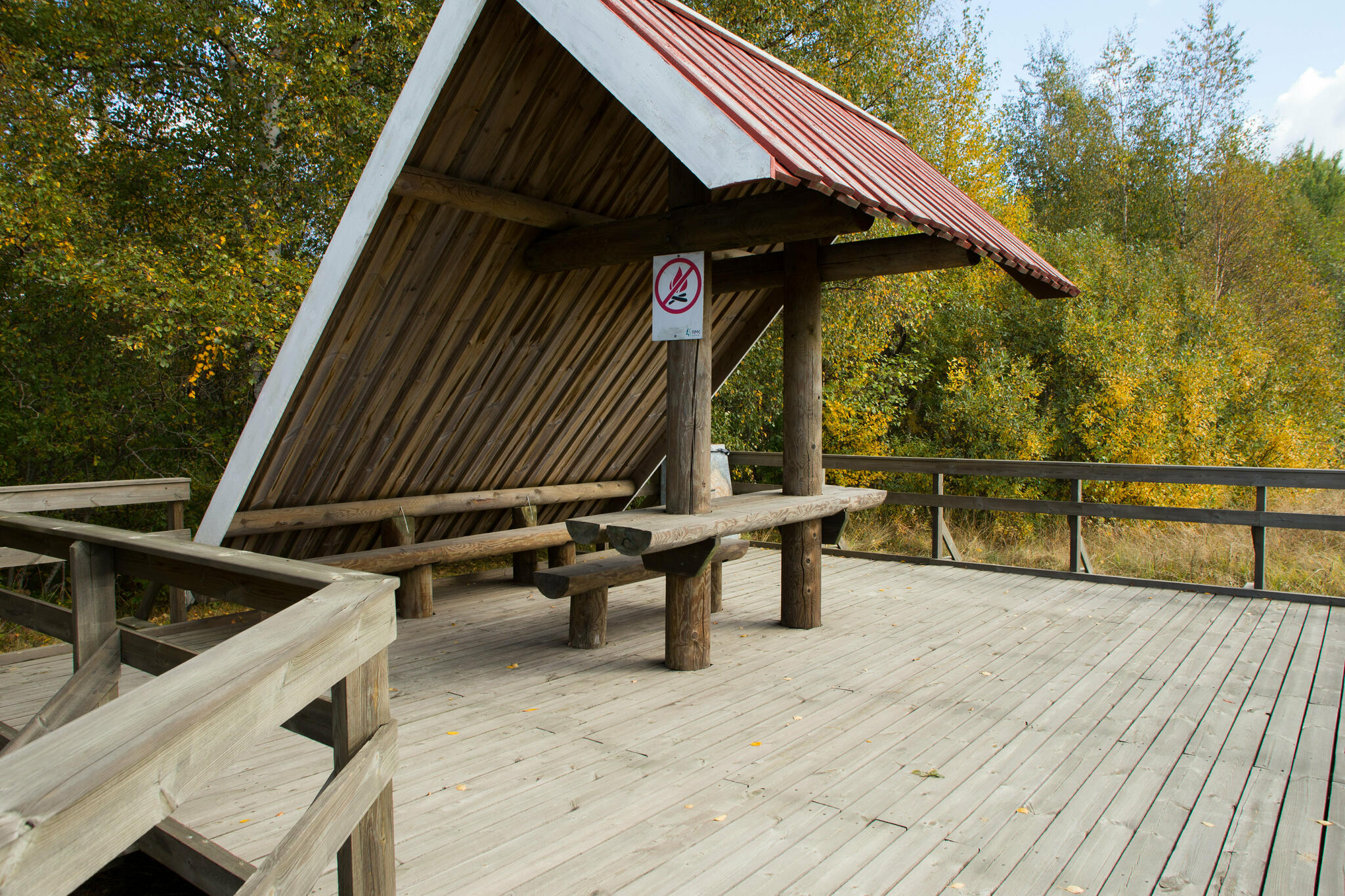
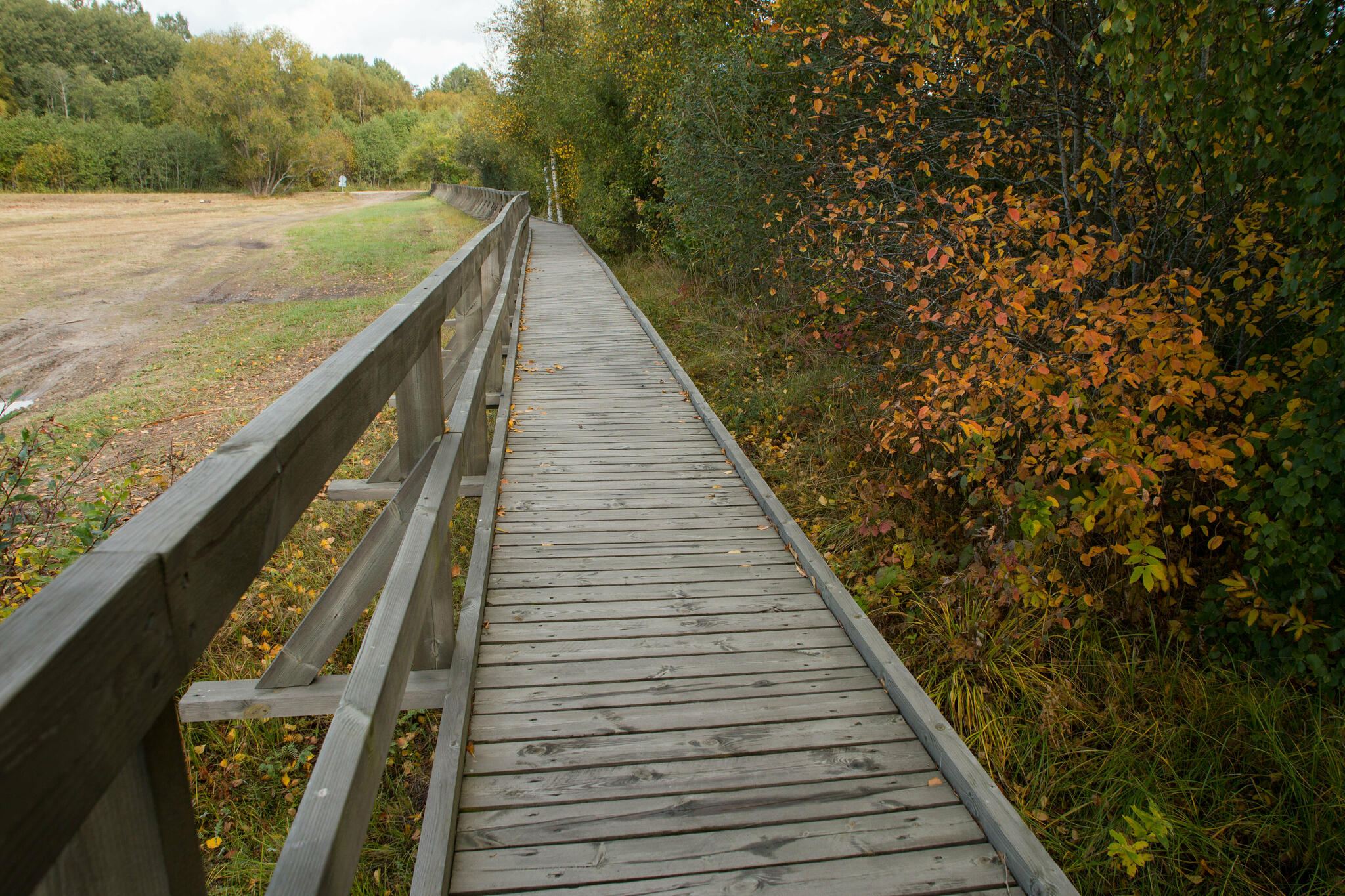
| Amenities | 110 m boardwalk leading to the 4 m high observation tower. The tower and boardwalk are wheelchair accessible, the tower has ramps only. |
| Wheelchair accessibility |
The boardwalk leading to the observation tower is 110 cm wide and without ascent (handrail on one side). Three inclines between 27-32% lead to the 6 m high observation tower. Parking area unpaved. |
| Sights | A stunning view of the Kasari flood meadow. |
| Additional information |
Before going on a nature walk please read the Environmental code of conduct (freedom to roam).
|
| Restrictions | Matsalu National Park, Kasari meadows special management zone. Before your visit, please get acquainted with valid nature conservation rules of Matsalu National Park.
Information about restrictions can be obtained from the Environmental Board (+372 662 5999, info@keskkonnaamet.ee).
|
| Location | Lääne-Nigula municipality, Lääne County Object no 15 on the national park map |
| Driving directions | Drive 20 km on Haapsalu–Laiküla road (Road no. 31), turn right immediately after the Martna junction, drive 700 m along the narrow gravel road and arrive at the boardwalk (100 m) leading to the observation tower. When approaching from the Laiküla village, it is more practical to take the Haapsalu–Laiküla road and turn left immediately after the Rannamõisa bus stop (sign to Rannajõe observation tower), drive 400 m and arrive at the boardwalk leading to the observation tower. |
| Geographic coordinates | Long-Lat WGS 84 latitude: 58.815972 longitude: 23.781156 |
| L-EST 97 x: 6519638 y: 487356 |