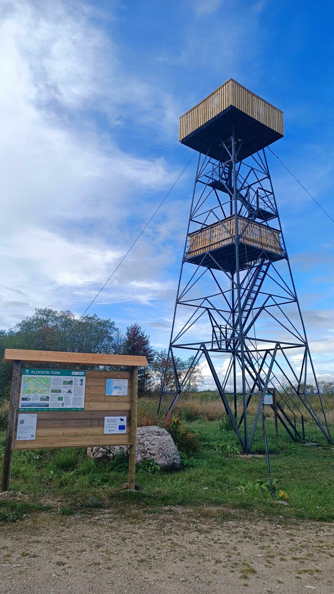
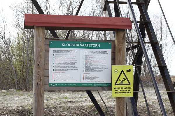
Kloostri observation tower
Pärnu County, Matsalu National Park
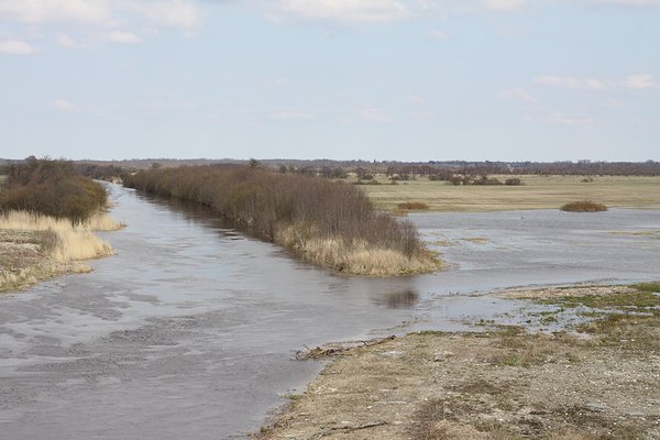
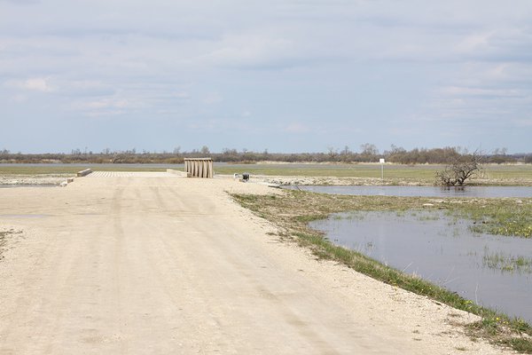
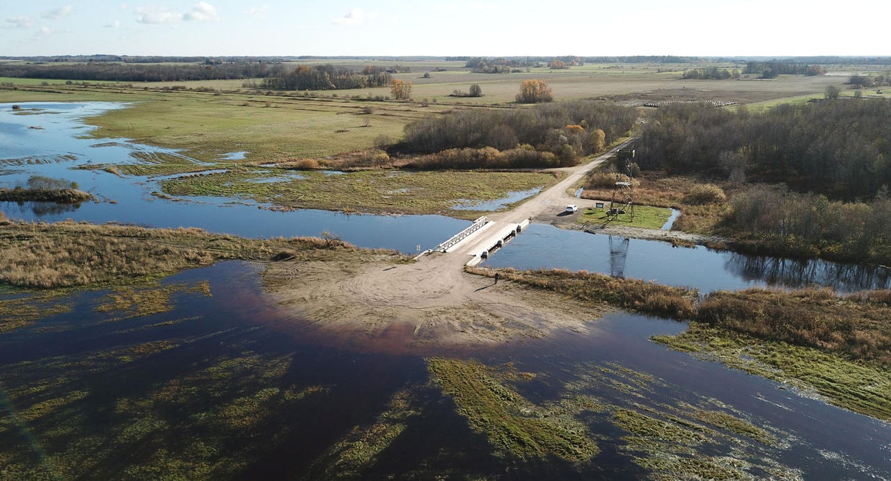
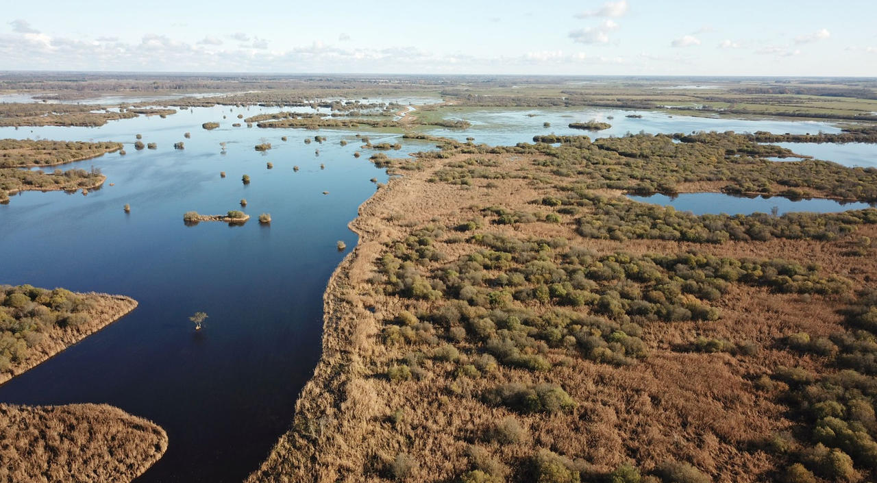
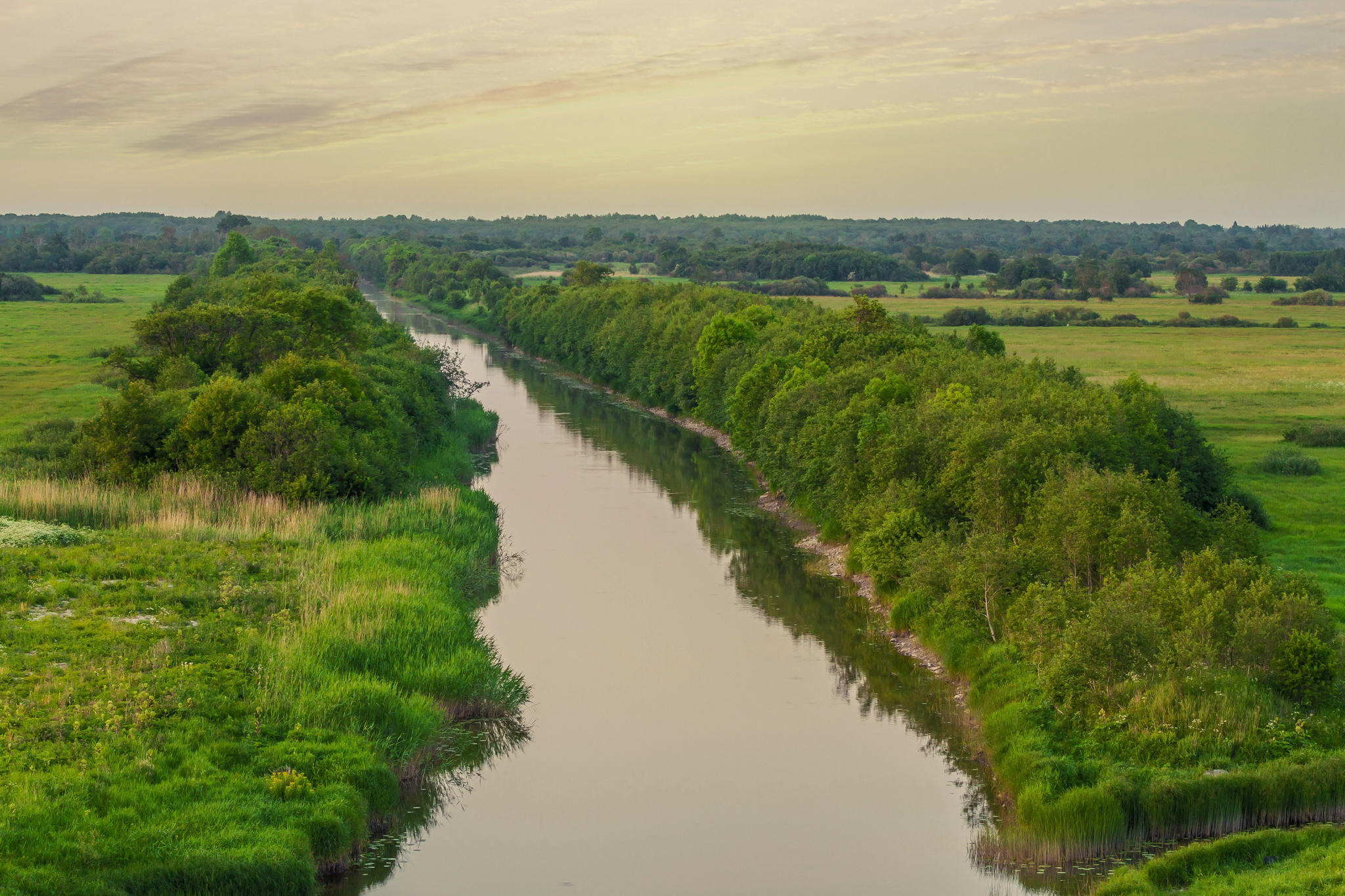
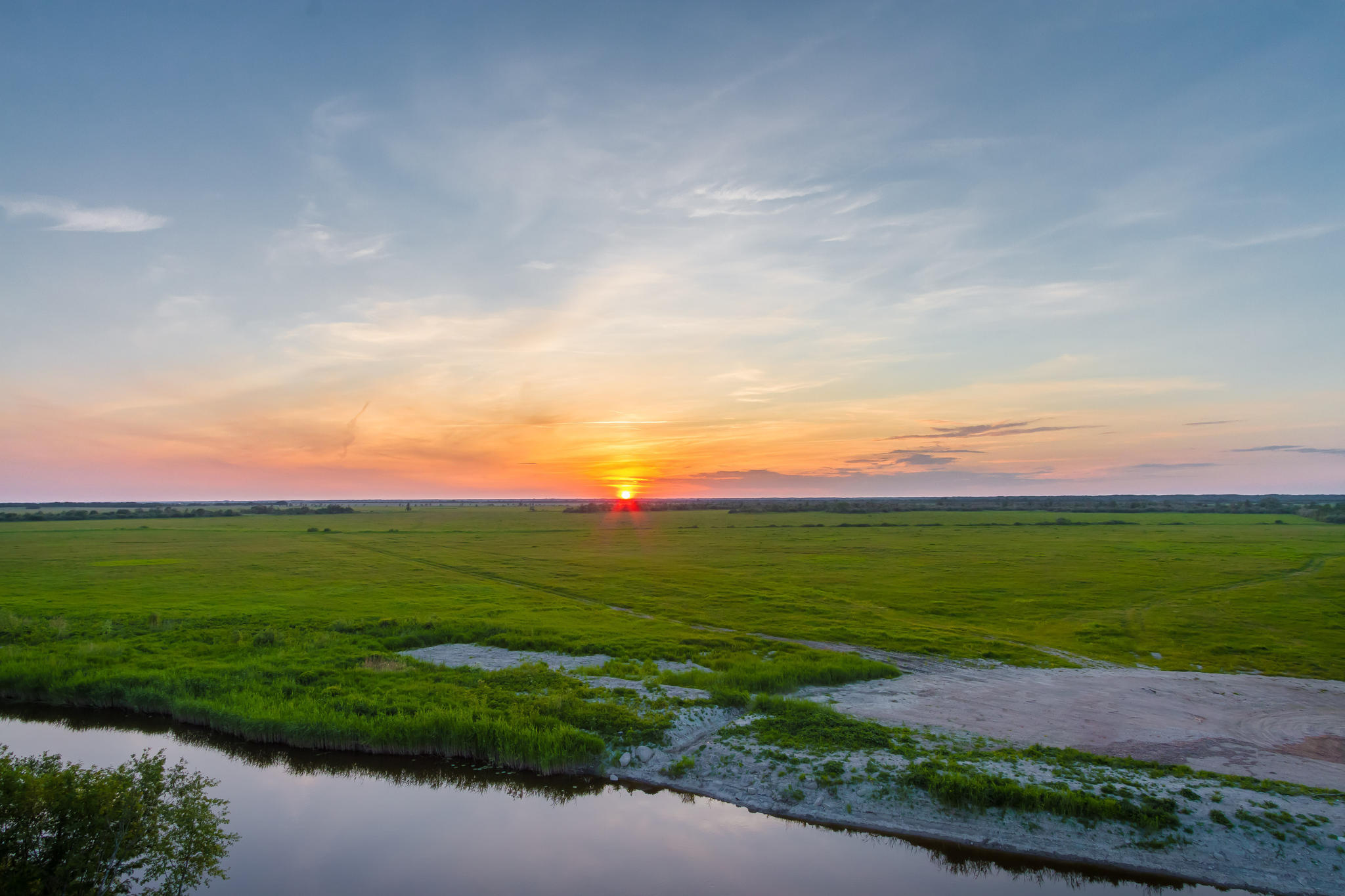
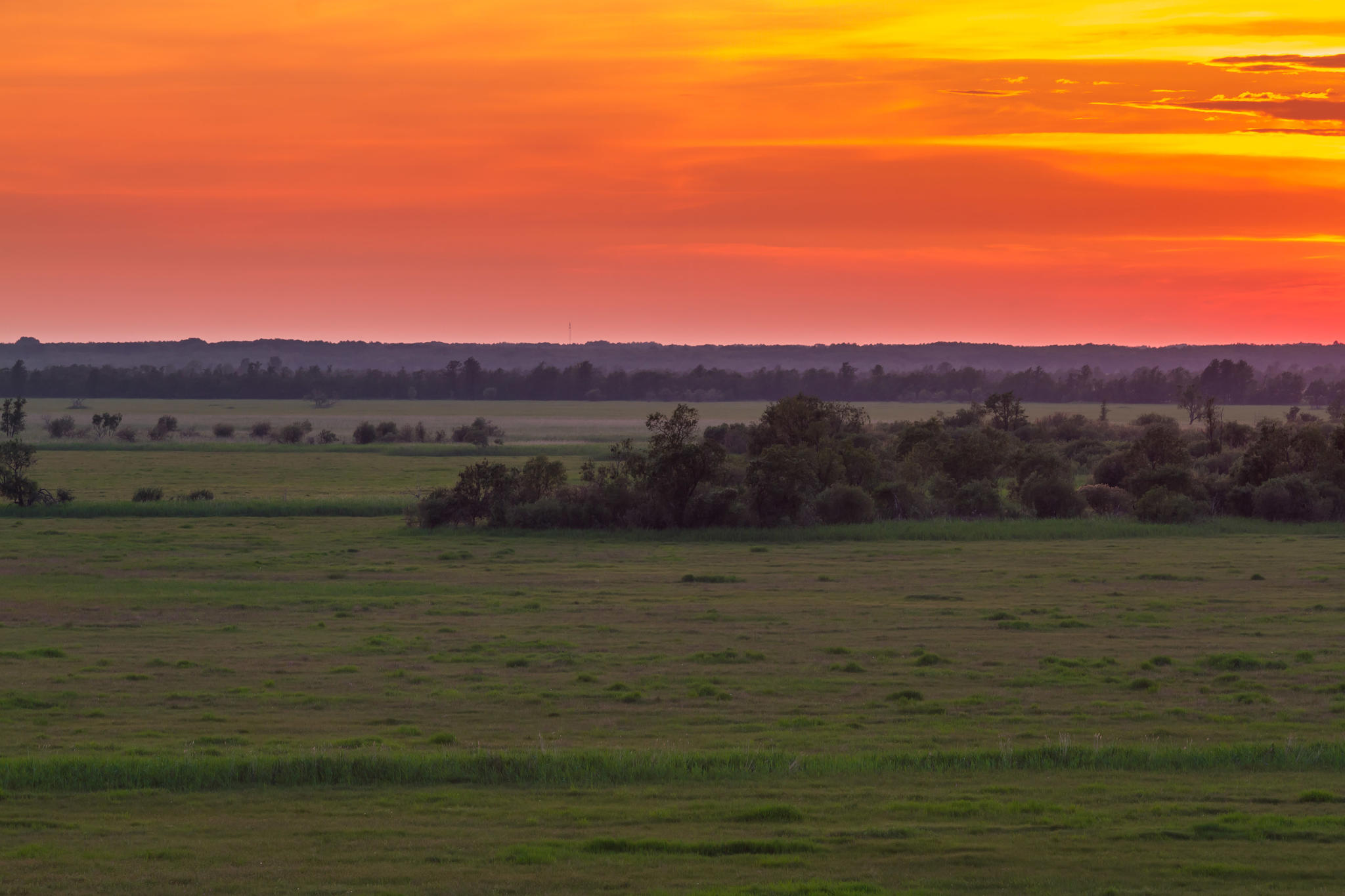
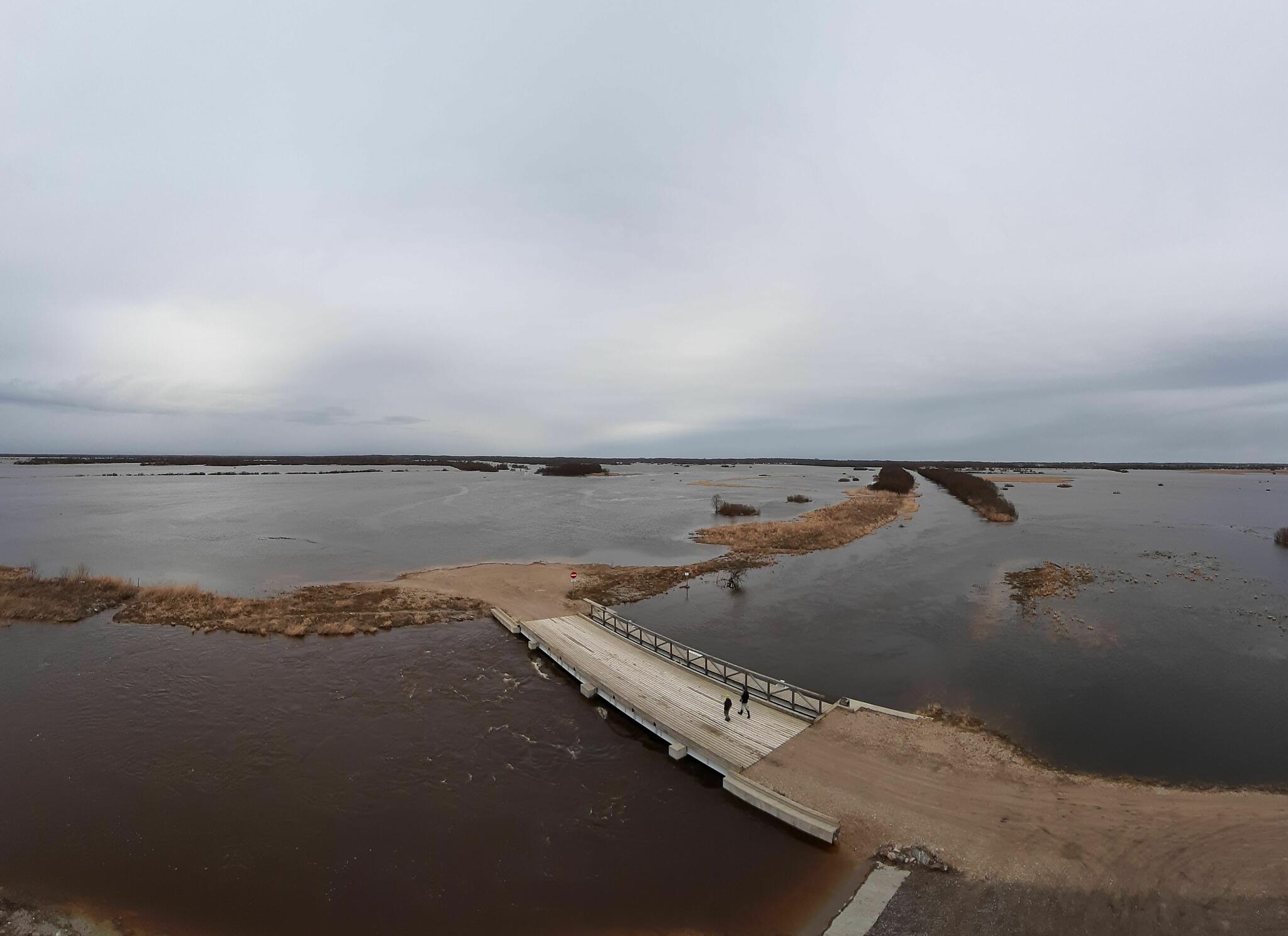
From the observation tower on the left bank of the Kasari River, you can enjoy the view of the wide expanse of the river floodplain, where flocks of ducks, geese, swans and waders gather during spring floods. In the summer white storks and eagles nest in the surroundings and fly around, often you can spot moose or roe deer going about their business on the floodplain.
| Phone | +372 513 8783 |
| info.matsalu@rmk.ee | |
| Type of object | Observation Tower |
| Parking facilities | Gravel parking area for 20 cars or 4 buses |
| Amenities | The observation tower is a 16 m high metal structure former coastal guard tower. |
| Sights | Superb views of the Kasari flood meadow, wild animals and birds; may be flooded during floods. |
| Additional information |
Before going on a nature walk please read the Environmental code of conduct (freedom to roam), rules of conduct and waste-sorting policy
|
| Restrictions |
Matsalu National Park, limited management zone. Before your visit, please get acquainted with valid nature conservation rules of Matsalu National Park.
Information about restrictions can be obtained from the Environmental Board (+372 662 5999, info@keskkonnaamet.ee).
|
| Location | Kloostri village, Lääneranna municipality, Pärnu County Object no 13 on the national park map |
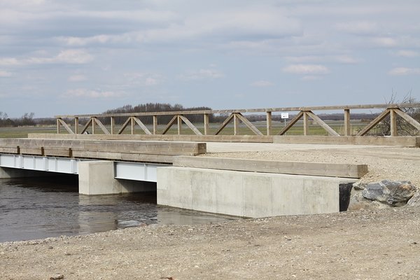
| Driving directions | There are two ways to access the observation tower. Either drive 36 km on Risti–Virtsu road (road no 10), turn right towards Kloostri before the Kloostri bus stop (sign “Kloostri 6”), drive 6 km along the gravel road (road no 16193), turn right onto a narrow village road (sign to Kloostri observation tower), drive 2 km to the marked parking area and walk 200 m on foot. Or drive 43 km on Risti–Virtsu road (road no 10), turn right towards Penijõe (road no 16193), pass the Matsalu National Park Visitor Centre in Penijõe Manor along the gravel road to Kloostri village, turn left onto the narrow village road, follow the sign to Kloostri observation tower, drive 2 km to the marked parking area and walk 200 m on foot. |
| Geographic coordinates | Long-Lat WGS 84 latitude: 58.754186 longitude: 23.844025 |
| L-EST 97 x: 6512746 y: 490972 |