Võsu–Nõmmeveski hiking trail (19 km)
Lääne-Viru County, Lahemaa National Park
The
second section of RMK Oandu–Aegviidu-Ikla
Hiking Route starts on old forest paths and runs through
the Võhma prehistoric village to Joaveski and Nõmmeveski waterfalls.
| Phone | +372 676 7010 +372 329 5555 |
|
info.oandu@rmk.ee
info.lahemaa@rmk.ee | |
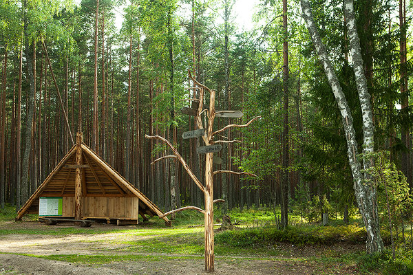
| Type of object | Hiking trail |
| Parking facilities | At Võsu campsite for 5 cars, at Nõmmeveski for 25 cars or 5 buses |
| Amenities | Information boards, indication |
| Camping facilities |
Nõmmeveski campfire site and Võsu campsite. |
| Campfire site | yes |
| Water |
In Võsu campsite: river water, drinking water from the well over the road. In Nõmmeveski campsite: river water, drinking water from the spring about twenty metres downstream from Nõmmeveski waterfall, tube on the western riverbank. |
| Hiking options | yes |
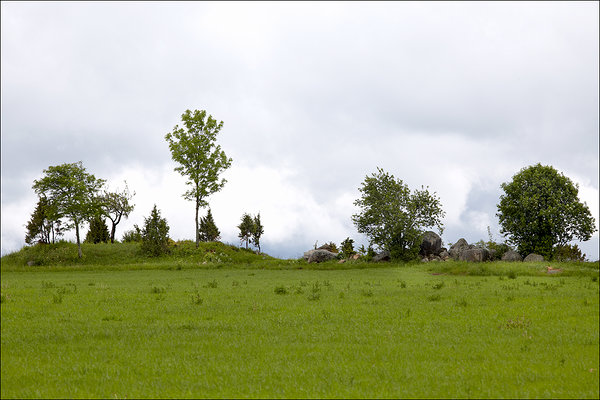
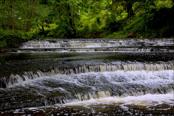
| Sights | The
trail starts on old forest paths and runs through the ancient Võhma village
where traces of prehistoric settlement are still visible (Tandemäe burials).
After passing the forest section, the trail leads to the Joaveski terrace and
from there to the Nõmmeveski canyon and terrace. |
| Additional information |
Before going on a nature walk please read the Environmental code of conduct (freedom to roam), rules of conduct and waste-sorting policy
|
| Restrictions |
The trail is situated in Lahemaa National Park, view the restrictions on visiting here. Additional information from the Environmental Board: +372 662 5999, info@keskkonnaamet.ee.
In some places the trail passes along village and forest paths and through private farmlands—please do not disturb the locals. |
| Location | Kuusalu Municipality, Harju County Haljala Municipality, Lääne-Viru County Object no 25 on the national park map |
| Driving directions | Drive
73 km on Tallinn– Narva road (E20), turn left at Viitna (sign 17 km to
Võsu). Drive 6.5 km on Viitna–Võsu road to Palmse village, turn right towards
Sagadi (sign 6 km to Sagadi). Drive on Palmse–Sagadi road and on Rakvere–Haljala
road turn left towards Võsu (sign 5 km to Võsu). Cross the Võsu junction, drive
400 m and turn right. Follow the sign to the campsite, the trail starts at the
campsite. |
| Geographic coordinates | Long-Lat WGS 84 latitude: 59.567794 longitude: 25.973949 |
| L-EST 97 x: 6605009 y: 611570 |

Click on the map to download it.
(The file is large, the download might take a few minutes.)
_block.jpg)
_large.jpg)
_large.jpg)
_large.jpg)