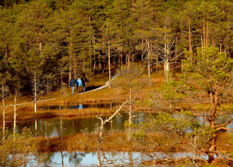
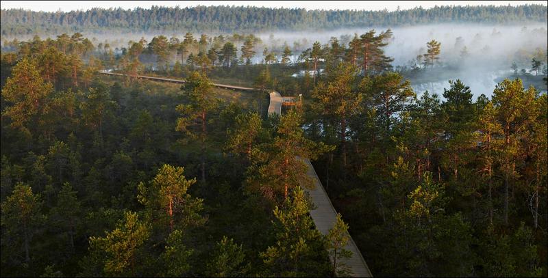
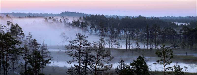
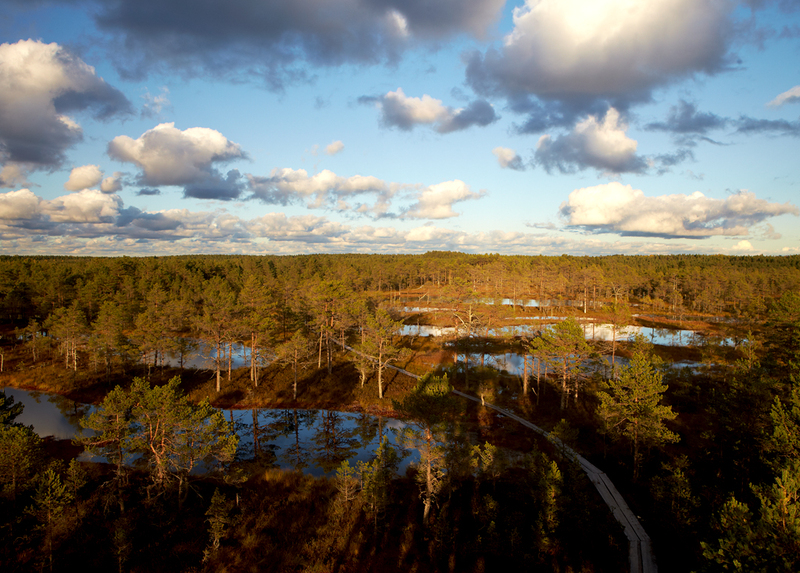
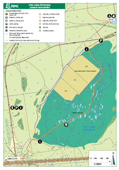
Viru bog nature trail (3.5 km)
Harju County, Lahemaa National Park
High water has damaged the fences on the bog side of the parking lot. We ask you to be careful when using the parking lot.
3,5 km is one way, circle will be 5,7 km.
The
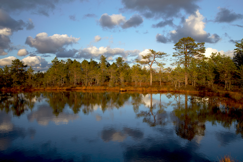
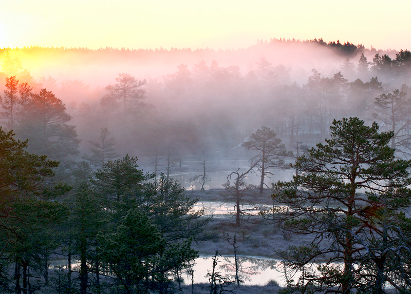
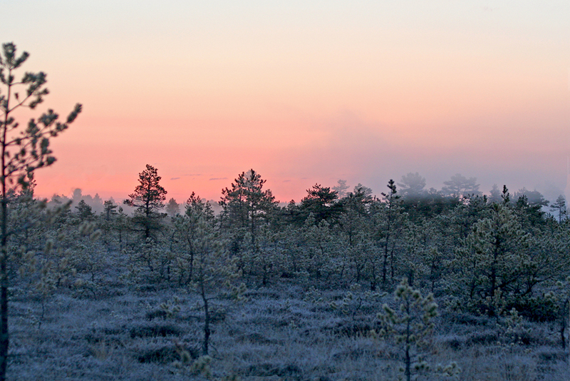
trail introduces the vegetation and terrain characteristic of the raised bog in
Estonia.
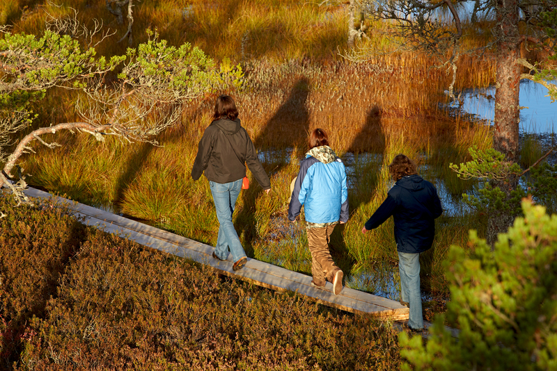
To protect the vegetation and soil we ask hikers to keep on the boardwalk. Cycling on the boardwalk is not allowed!
To protect the vegetation and soil we ask hikers to keep on the boardwalk. Cycling on the boardwalk is not allowed!
| Phone | +372 676 7010 +372 329 5555 |
|
info.oandu@rmk.ee
info.lahemaa@rmk.ee | |
| Type of object | Study trail |
| Parking facilities |
Parking for 91 cars (including 2 spaces for disabled), for 5 buses; bike racks
|
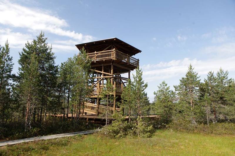
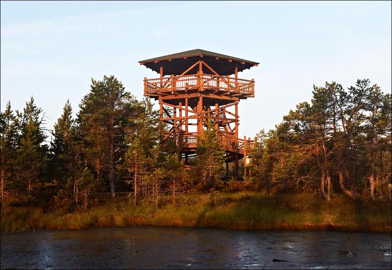
| Amenities | Large information boards, small information boards, boardwalk 3 km, observation tower, indication, waste bin, DC |
| Camping facilities |
Kalmeoja campfire site (300 m from the end of the trail) |
| Wheelchair accessibility |
The path to the tower 1,3 km is passable by a wheelchair with an assistant. The gravel road leading from the new parking lot to the bog is not yet completely finished: we are letting the gravel pad compact before covering it with a finer fraction. The observation towers first platform is accessible by wheelchair with assistance. Dry toilet accessible with wheelchair in the beginning of the trail. |
| Hiking options | yes |
| Sights | Vegetation
and terrain characteristic of the raised bog in Estonia |
| Additional information |
Before going on a nature walk please read the Environmental code of conduct (freedom to roam), rules of conduct and waste-sorting policy
|
| Restrictions |
The trail is situated in Lahemaa National Park, view the restrictions on visiting here. Additional information from the Environmental Board: +372 662 5999, info@keskkonnaamet.ee.
|
| Location | Kuusalu Municipality, Harju County Object no.19 on the national park map |
| Driving directions | Drive
52 km on Tallinn–Narva road (Road no. E20), turn left (sign “Võsu 22, Loksa
15”), the parking area is on the right of the road. The trail starts from the parking area. |
| Geographic coordinates | Long-Lat WGS 84 latitude: 59.464375 longitude: 25.638328 |
| L-EST 97 x: 6592980.2 y: 592885.9 |
Click on the map to download it.
(The file is large, therefore the download takes a few minutes.)