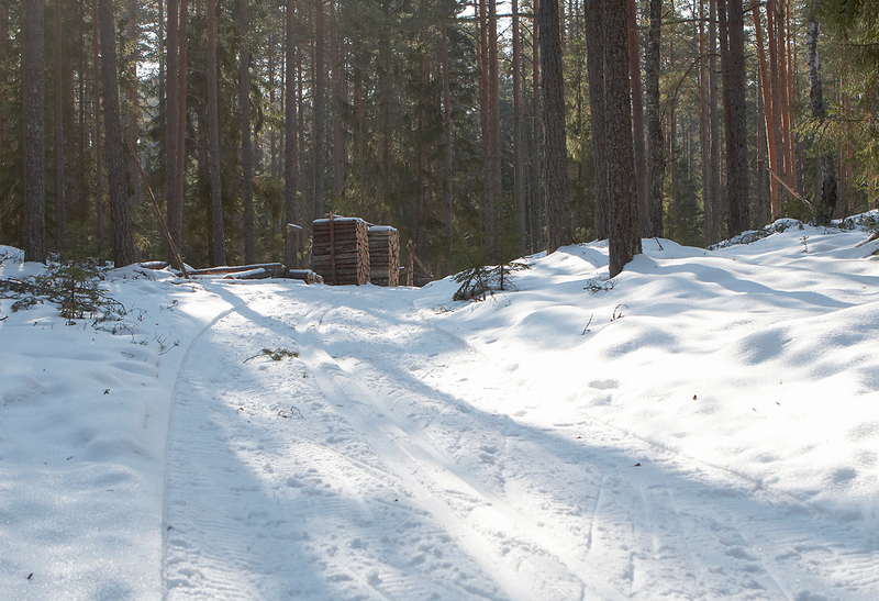
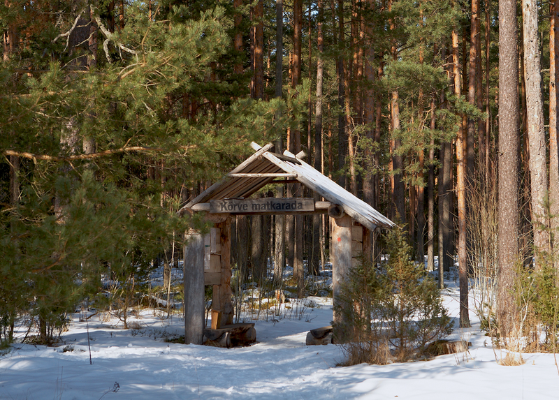
Oandu–Võsu hiking trail (9.5 km)
Lääne-Viru County, Lahemaa National Park
Oandu–Võsu
hiking trail constitutes the first section of the RMK Hiking Route Oandu-Aegviidu-Ikla. The hiking
route runs through the primeval forests of the former Oandu–Koljaku Nature Reserve
on the prehistoric Seljaku road. The trail is passable on foot and by bicycle.
| Phone |
+372 676 7010 +372 329 5555 |
|
info.oandu@rmk.ee
info.lahemaa@rmk.ee | |
| Type of object | Hiking trail |
| Parking facilities | Parking at Oandu campsite for 15 cars and 1 bus, parking at Oandu visitor centre for 10 cars and 2 buses, parking at Võsu campsite for 5 cars |
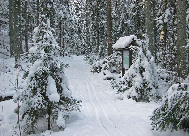
| Amenities | Information boards, indication, boardwalk (25 m) |
| Camping facilities | Oandu campsite and Võsu campsite |
| Campfire site | yes |
| Water | Well in Oandu Visitor Centre, at Võsu campsite: river water, drinking water from the well over the road |
| Hiking options | yes |
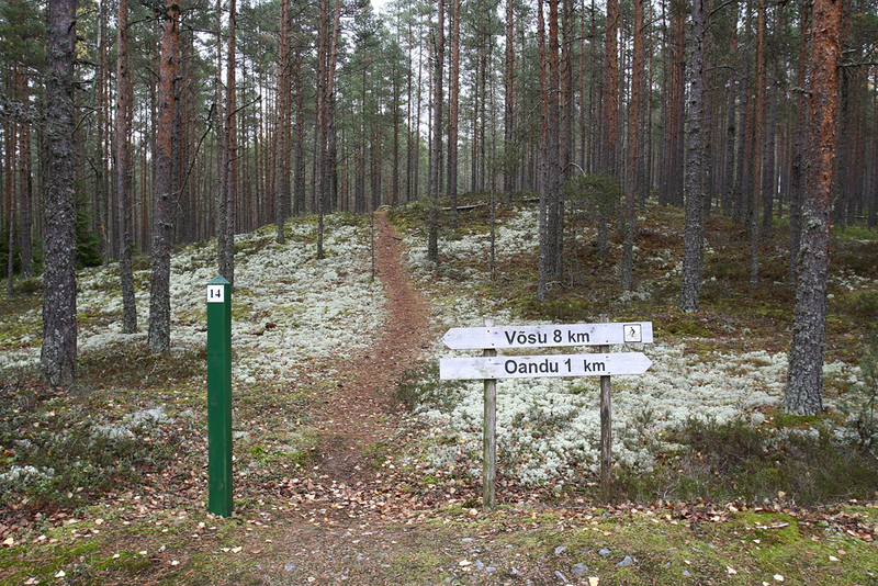
| Sights | The
trail runs along the prehistoric Seljaku road, through the primeval forests
beneath Koljaku–Oandu terrace. Diverse landforms and forest communities. |
| Additional information |
|
| Restrictions |
The trail is situated in Lahemaa National Park, view the restrictions on visiting here. Additional information from the Environmental Board: +372 662 5999, info@keskkonnaamet.ee.
|
| Location | Haljala Municipality, Lääne-Viru County Object no 24 on the national park map |
| Driving directions | Drive 73 km on Tallinn– Narva road (E20), turn left at Viitna (sign 17 km to Võsu). Drive 6.5 km on Viitna–Võsu road to the
Palmse village, turn right (sign 6
km to Sagadi). Drive on Palmse–Sagadi road, cross
Rakvere–Haljala road (sign 2.5
km to Sagadi manor) and drive to Sagadi Manor. Turn left
there (sign 5 km
to Altja fishing village), drive 3
km on Sagadi–Altja road and pass the RMK Oandu campsite.
Drive 150 m
and turn right at the roadside sign of Oandu Nature Centre and drive to the
parking area. The trail starts from the parking area. |
| Geographic coordinates | Long-Lat WGS 84 latitude: 59.565061 longitude: 26.100625 |
| L-EST 97 x: 6604922 y: 618737 |

Click on the map to download it.
(The file is large, the download might take a few minutes.)