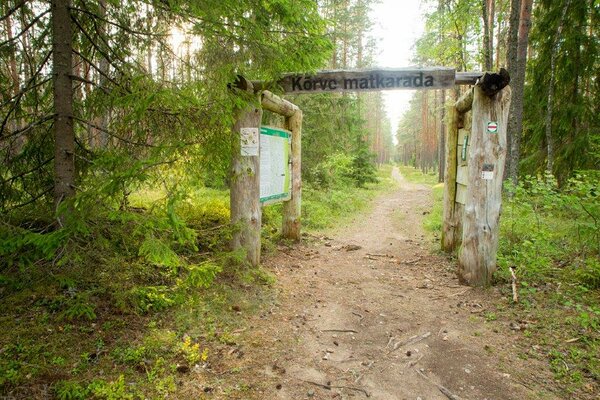
Nõmmeveski–Liiapeksi hiking trail (16 km)
Harju County, Lahemaa National Park
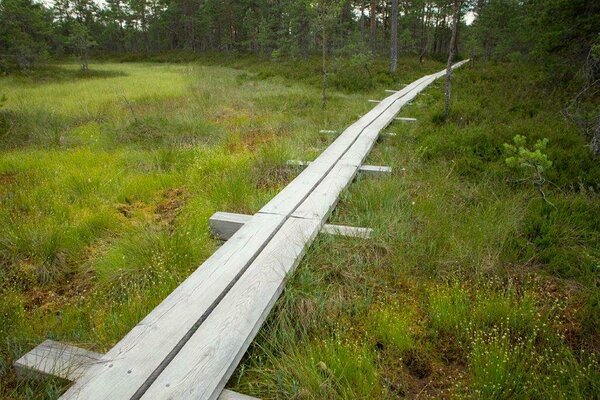
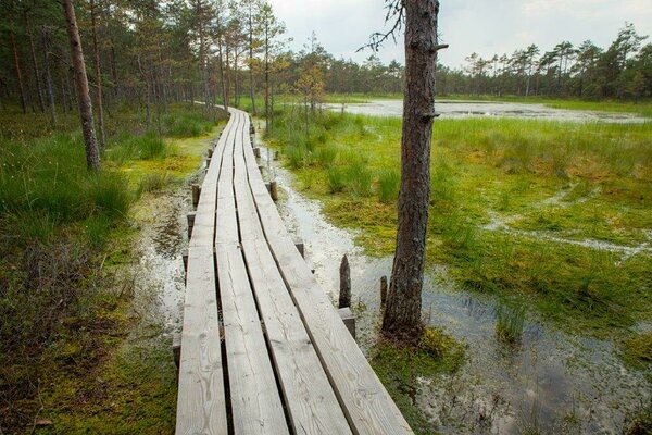
To protect the vegetation and soil in Viru bog we ask hikers to keep on the boardwalk. When cycling on Oandu-Ikla hiking route we ask you to use the marked bicycle route that goes along the edge of Viru bog to Narva road. Riding on the boardwalk is not allowed!
The
third section of RMK Oandu–Aegviidu-Ikla hiking route stretches from Nõmmeveski to the Viru bog.
| Phone |
+372 676 7010 +372 329 5555 |
|
info.oandu@rmk.ee
info.lahemaa@rmk.ee | |
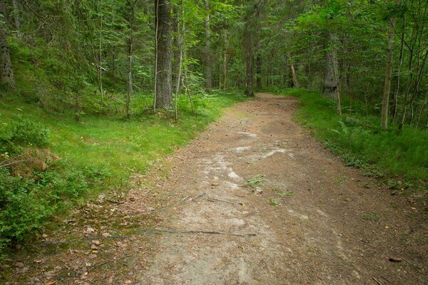
| Type of object | Hiking trail |
| Parking facilities | Parking area for 25 cars or 5 buses at Nõmmeveski, at Kalmeoja campfire site parking for 10 cars |
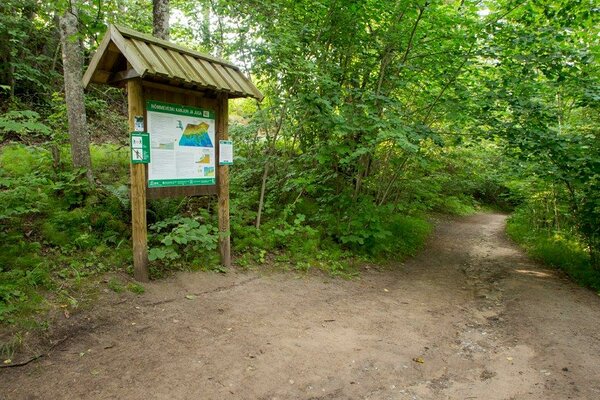
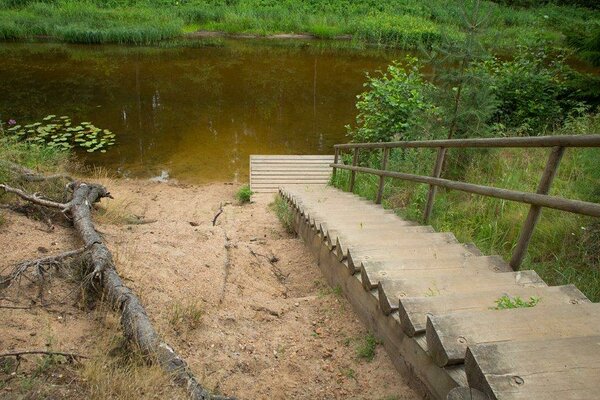
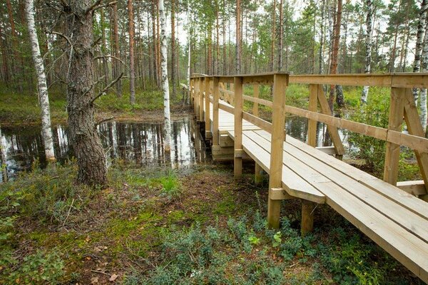
| Amenities | Information boards, indication, stairs, bridges, boardwalk (5 m), platform |
| Camping facilities |
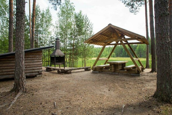
Nõmmeveski campfire site, Kalmeoja campfire site |
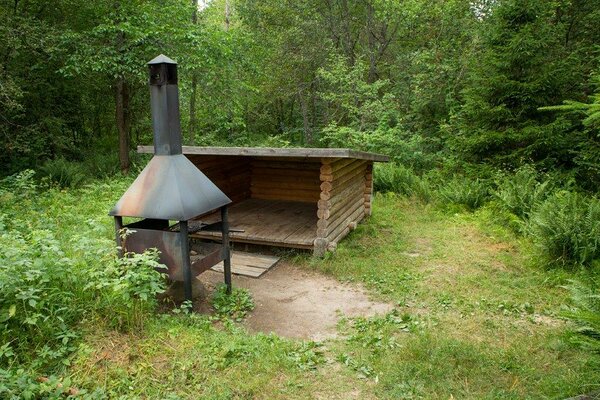
| Campfire site | yes |
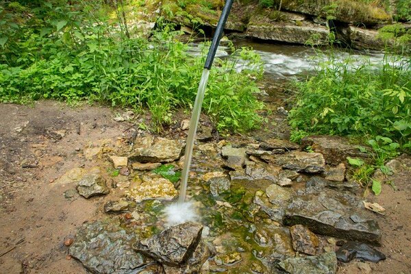
| Water |
In Nõmmeveski: river water, drinking water from the spring about twenty metres downstream from Nõmmeveski waterfall, tube on the western riverbank. In Kalmeoja campfire site: bog water in Viru bog |
| Hiking options | yes |
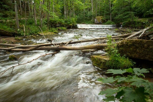
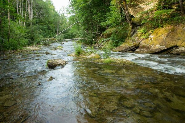
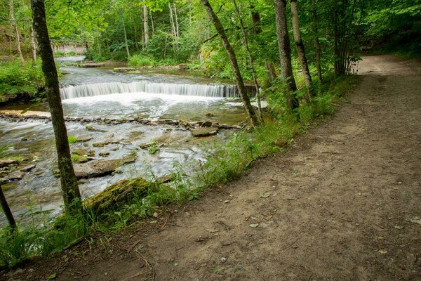
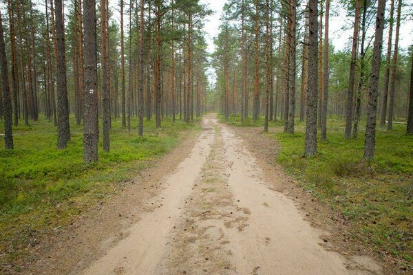
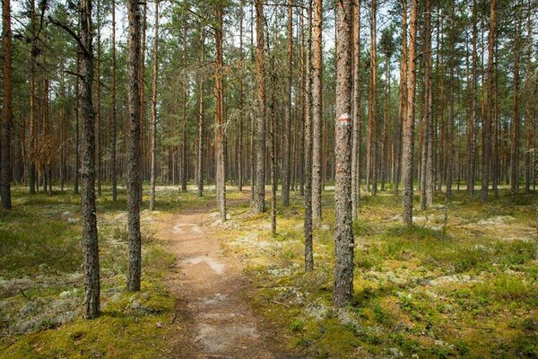
| Sights | The
trail first runs along the high banks of the Valgejõgi River and its distributaries
to the Vasaristi waterfalls, then on old village roads to the Pärlijõgi River
valley, across the river, and along the valley slope through young pine forests
to the Viru bog. |
| Additional information |
Before going on a nature walk please read the Environmental code of conduct (freedom to roam), rules of conduct and waste-sorting policy
|
| Restrictions |
The trail is situated in Lahemaa National Park, view the restrictions on visiting here. Additional information from the Environmental Board: +372 662 5999, info@keskkonnaamet.ee.
In some places the trail passes along village and forest paths and through private farmlands—please do not disturb the locals. |
| Location | Kuusalu Municipality, Harju County Object no 26 on the national park map |
| Driving directions | Drive
58 km on Tallinn–Narva road (E20), turn left towards Valgejõe (sign to
Valgejõe Centre). Drive 2.6 km to the Valgejõe village and turn left towards
Kotka. After 4.2 km turn right towards Nõmmeveski and drive 700 m to the
Nõmmeveski parking area. The trailhead is opposite the parking area. |
| Geographic coordinates | Long-Lat WGS 84 latitude: 59.507399 longitude: 25.785796 |
| L-EST 97 x: 6597985 y: 601117 |
Click on the map to download it.
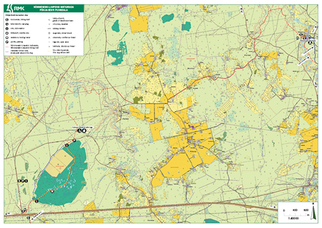
(The file is large, the download might take a few minutes.)
_block.jpg)