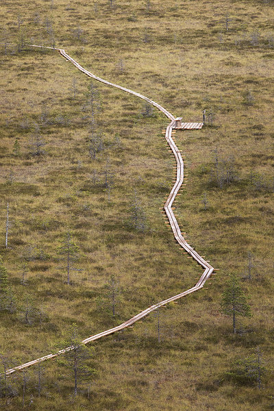
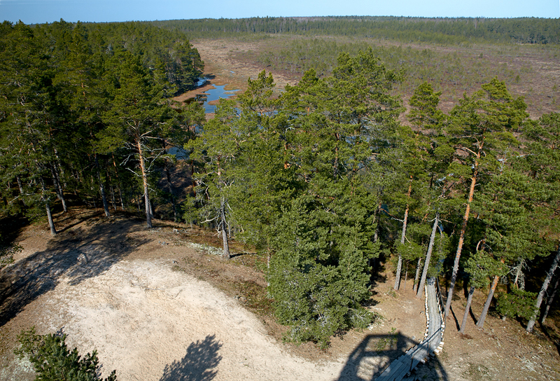
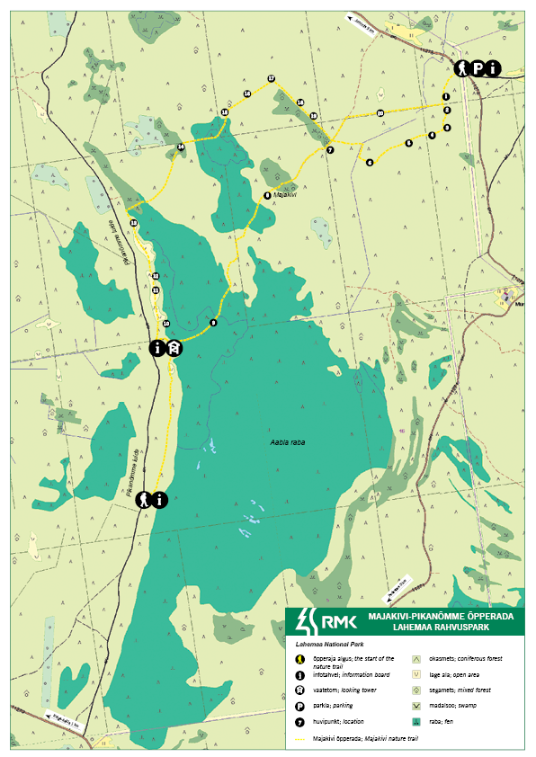
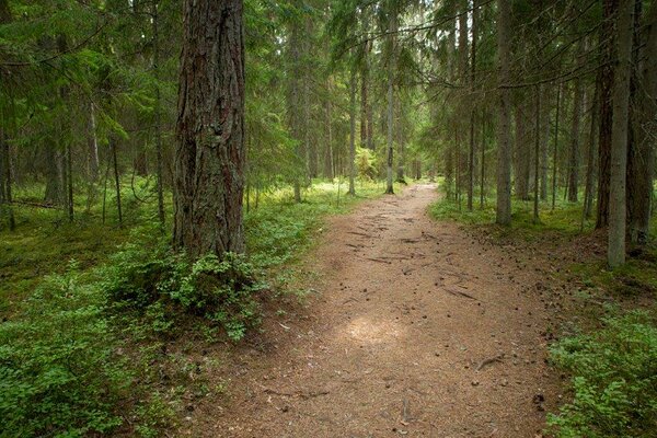
Majakivi–Pikanõmme nature trail (7 km)
Harju County, Lahemaa National Park
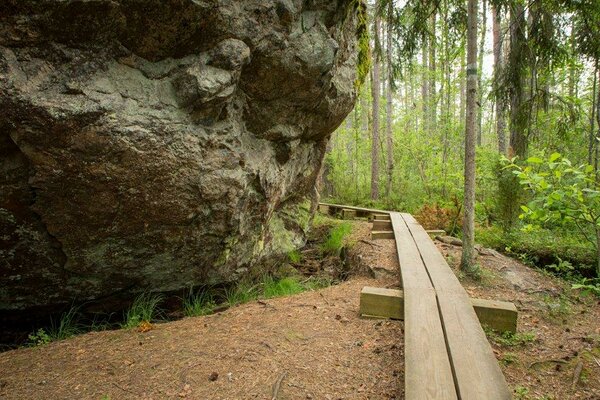
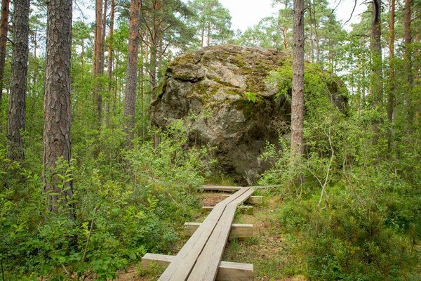
The
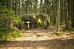
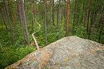
trail introduces Majakivi, the third largest erratic boulder in Estonia (7 m in
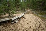
height, 32 m in perimeter), old accretion ridges, alternating bog types and
forests of the Juminda peninsula.
| Phone | +372 676 7010, +372 329 5555 |
|
info.oandu@rmk.ee
info.lahemaa@rmk.ee | |
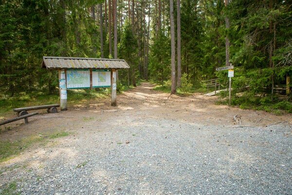
| Type of object | Study trail |
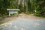
| Parking facilities | Parking
for 30 cars or 3 tour buses at the eastern end of the trail at Hara–Juminda road. |
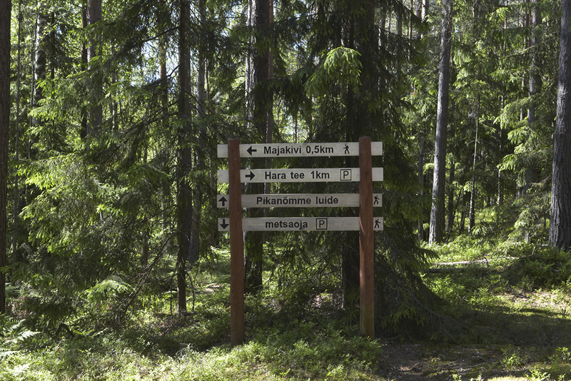
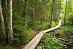
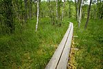
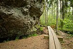
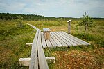
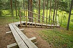
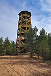
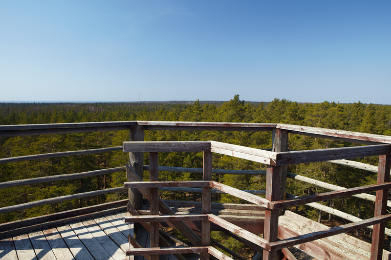
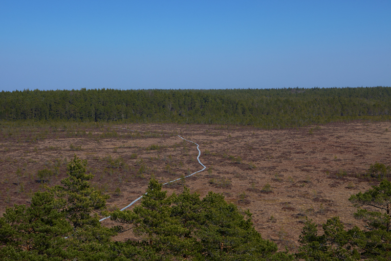
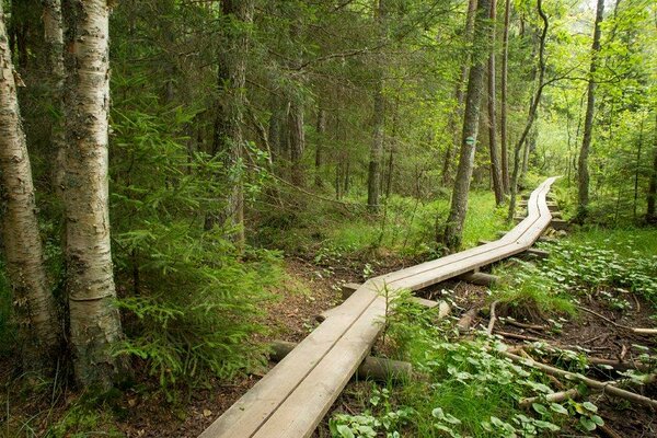
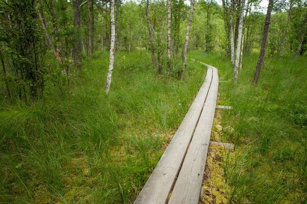
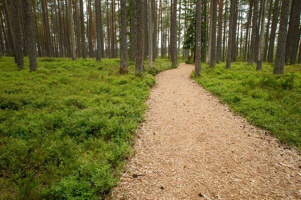
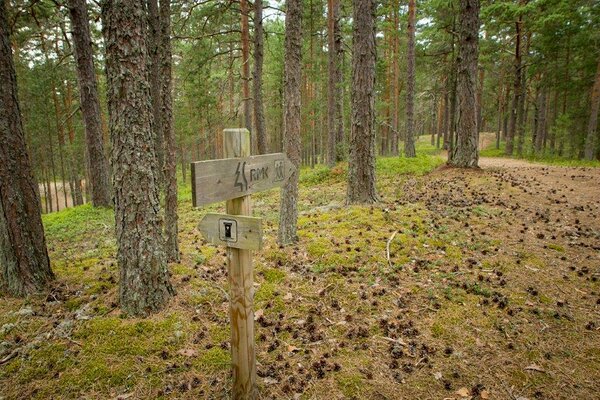
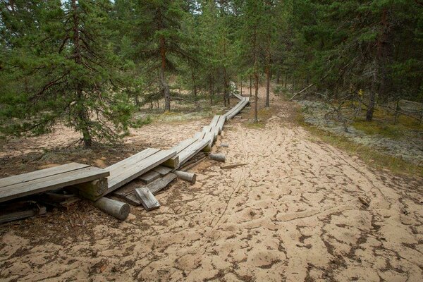
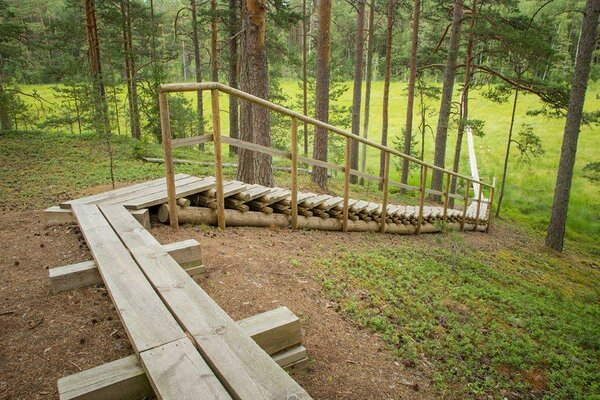
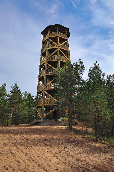
| Amenities | Information boards, 2 km of boardwalk, indication, observation tower, 2 waste bins, DC |
| Camping facilities |
Juminda campsite |
| Wheelchair accessibility | Dry inva toilet |
| Hiking options | yes |
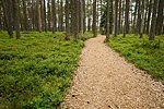
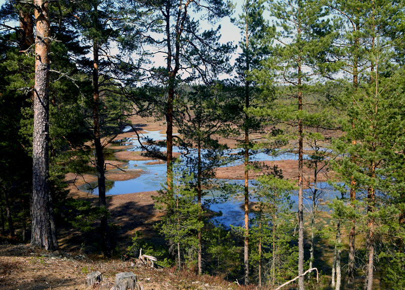
| Sights | The
high central part of the Juminda peninsula, where the embedding of former
coastal deposits and sand dunes, stretches of forest and wetland has formed a uniquely
versatile landscape. |
| Additional information |
Before going on a nature walk please read the Environmental code of conduct (freedom to roam), rules of conduct and waste-sorting policy |
| Restrictions |
The trail is situated in Lahemaa National Park, view the restrictions on visiting here. Additional information from the Environmental Board: +372 662 5999, info@keskkonnaamet.ee.
|
| Location | Kuusalu Municipality, Harju County Object no. 21 on the national park map |
| Driving directions | Drive
39 km on Tallinn–Narva road (E20) to Kuusalu, turn right towards Leesi.
Drive 800 m to the Kuusalu junction, turn left (sign 17 km to Leesi), pass
under the viaduct, cross the roundabout and drive onto Jõelähtme–Leesi road. Turn
right (at the sign 23 km to Leesi) and drive ahead to the Kupu village. Turn
left 100 m after the Kupu village sign (at the sign 22 km to Leesi) and drive
10 km to the Pudisoo village. Drive 3 km from Pudisoo village and turn right.
Drive 6 km and turn left at the Leesi–Loksa junction. Drive about 1.2 km, turn
left and arrive at the parking area and information board of the nature trail. |
| Geographic coordinates | Long-Lat WGS 84 latitude: 59.588719 longitude: 25.595241 |
| L-EST 97 x: 6606770 y: 590114 |
Click on the map to download it.
(The file is large, therefore the download takes a few minutes.)


-1_block.jpg)
_medium.jpg)
(The file is large, therefore the download takes a few minutes.)


-1_block.jpg)
_block.jpg)