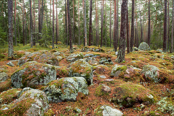
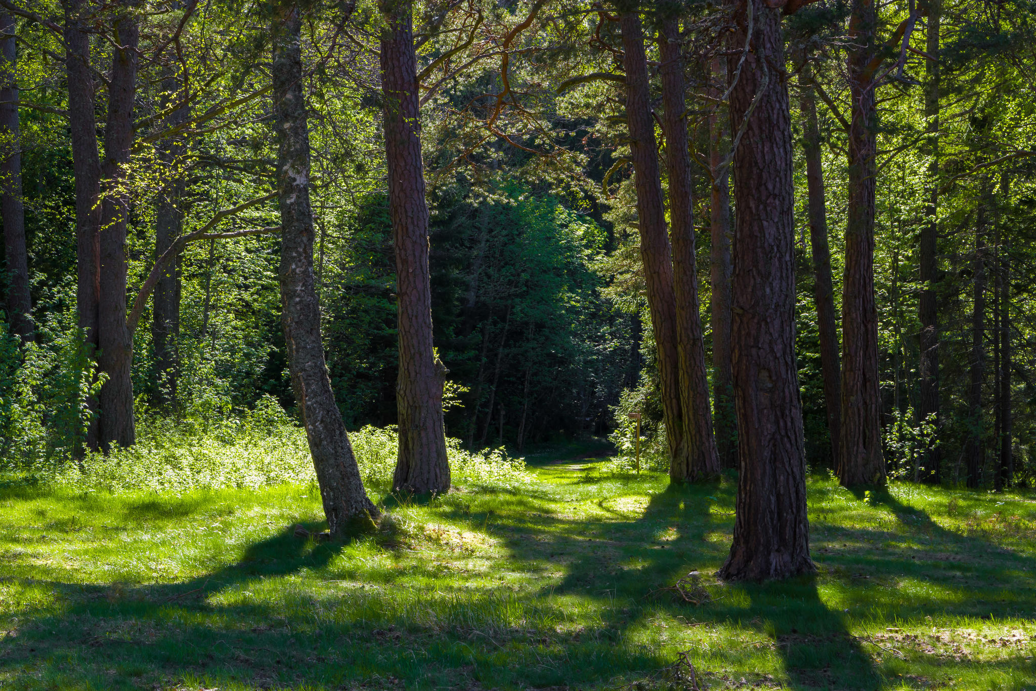
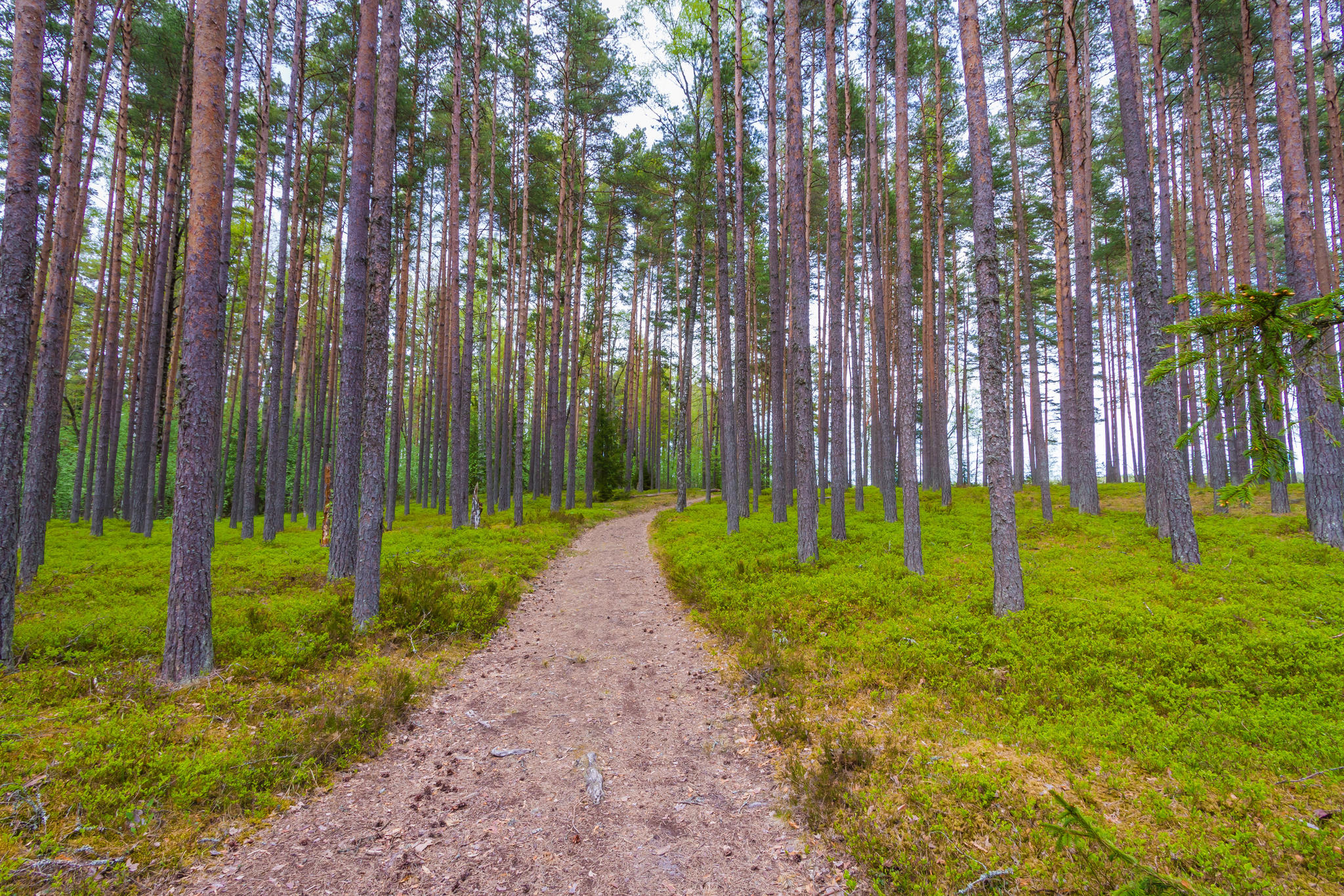
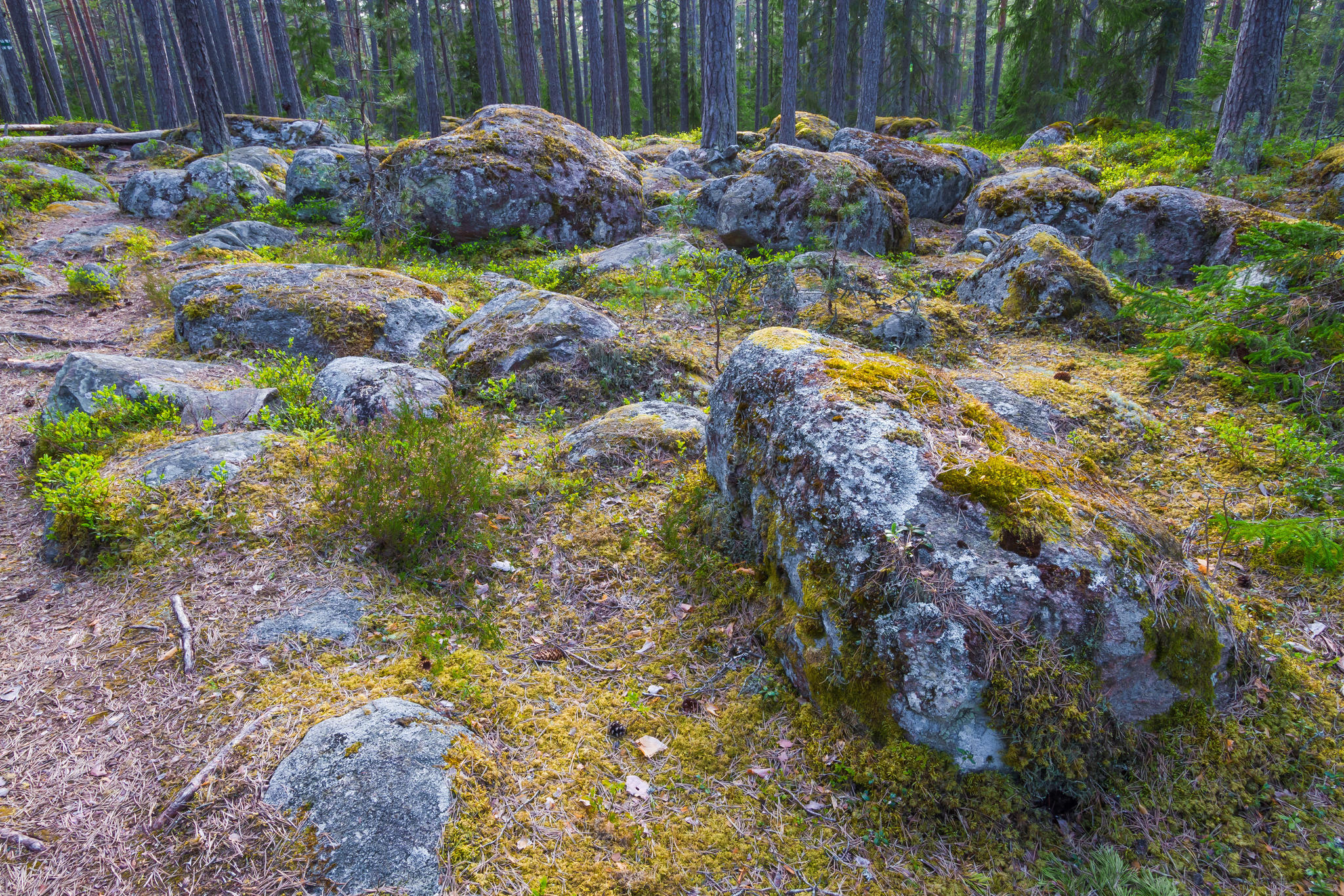
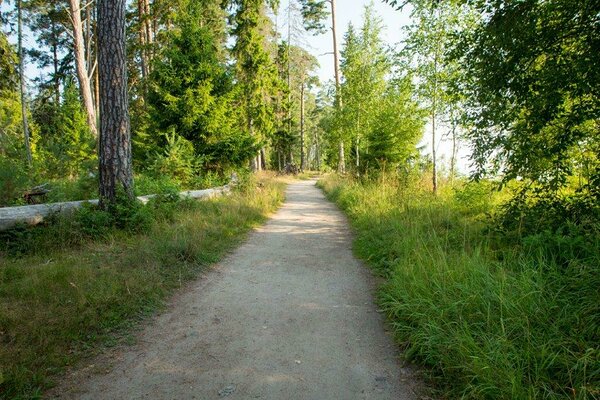
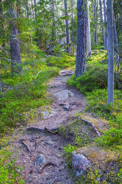
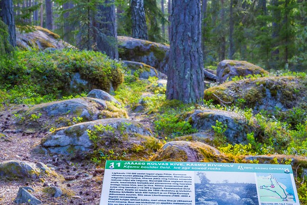
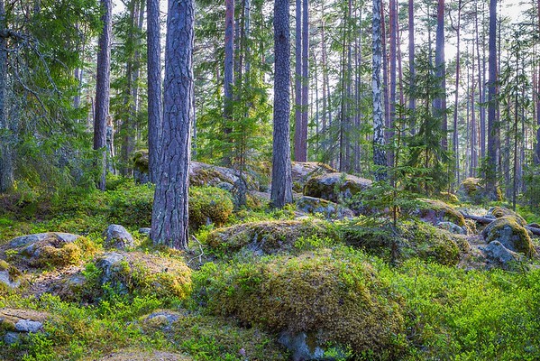
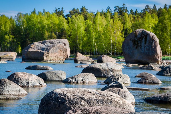
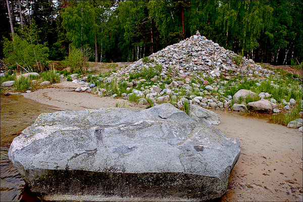
Käsmu nature and culture historical trail (4.2 km)
Lääne-Viru County, Lahemaa National Park
The
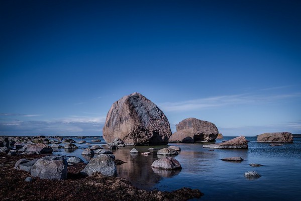
trail introduces the history of the smallest peninsula in Lahemaa National
Park, the largest boulder field in Estonia and the rich cultural heritage of
the Käsmu village.
| Phone |
+372 676 7010 +372 329 5555 |
|
info.oandu@rmk.ee
info.lahemaa@rmk.ee | |
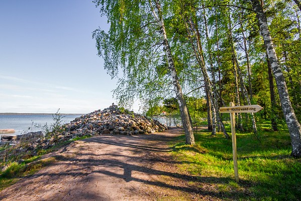
| Type of object | Study trail |
| Parking facilities | Parking
areas next to the chapel and at the edge of the village |
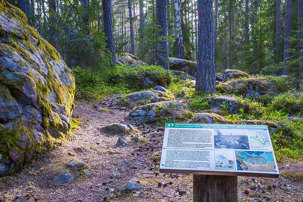
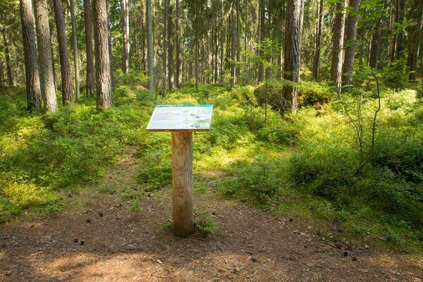
| Amenities | Large information board, small information boards, waste bin, DC |
| Camping facilities |
There is no free campsite in Käsmu! The nearest is Võsu campsite.
|
| Hiking options | Käsmu hiking trail (15 km), Käsmu cycling trail (11,6 km) |
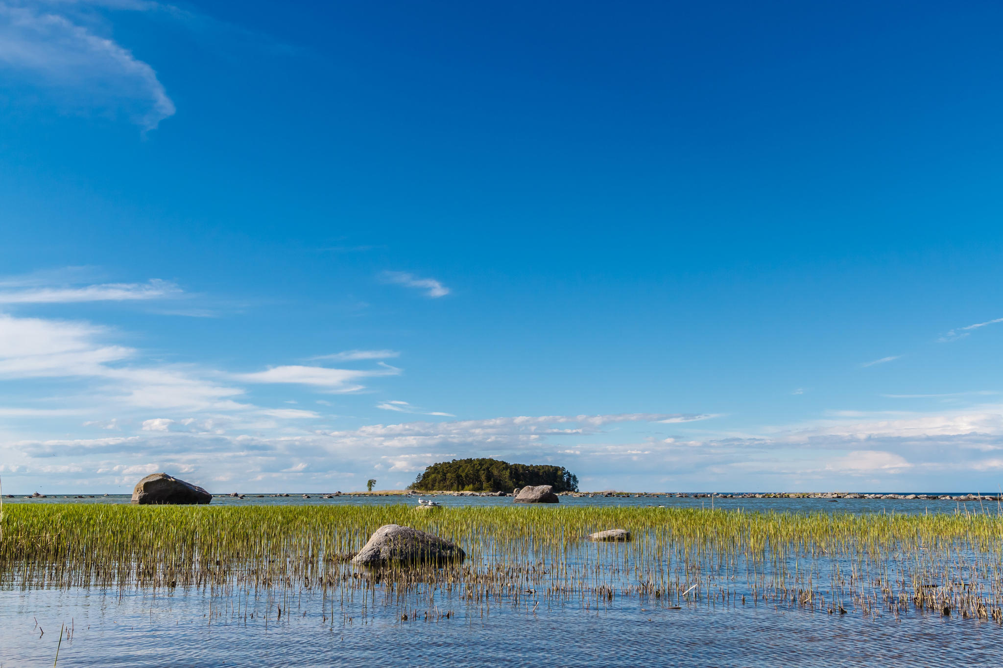
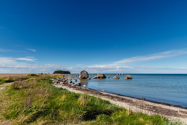
| Sights | The
trail introduces the nature of the Käsmu peninsula, including the largest stone field in Estonia, the history and cultural heritage of the peninsula. |
| Additional information |
|
| Restrictions |
The trail is situated in Lahemaa National Park, view the restrictions on visiting here. Additional information from the Environmental Board: +372 662 5999, info@keskkonnaamet.ee. |
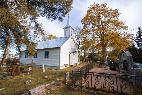
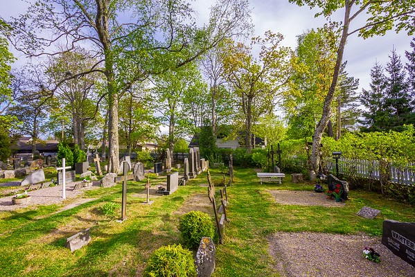
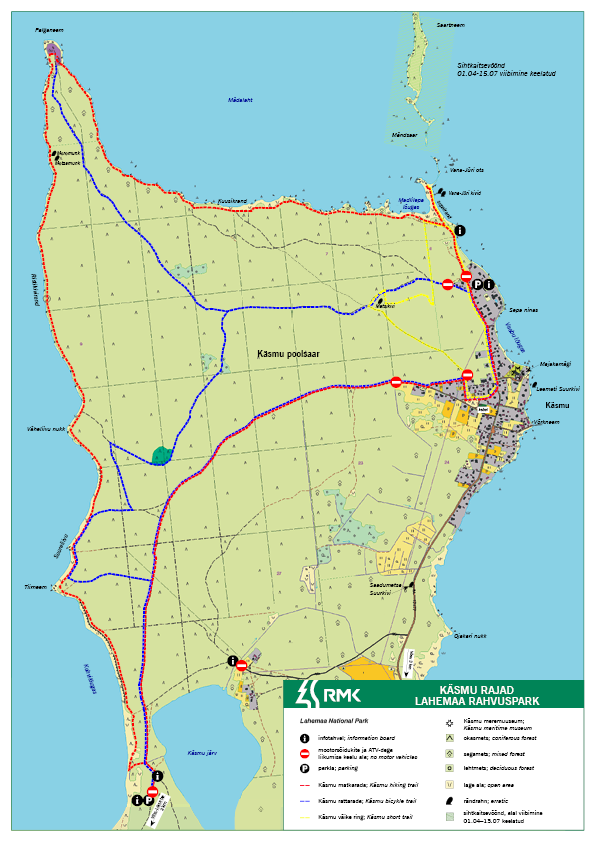
| Location | Käsmu, Haljala Municipality, Lääne-Viru County Object no. 11 on the national park map |
| Driving directions | Drive
50 km on Tallinn–Narva road, turn left to Liiapeksi–Loksa road, drive 11 km and
turn right onto Võsu–Kotka road, drive 12 km and turn left onto Haljala–Käsmu
road, drive 4 km and turn left onto Neeme road, drive 30 m to the Käsmu
cemetery and chapel, where the trail starts. |
| Geographic coordinates | Long-Lat WGS 84 latitude: 59.6025 longitude: 25.916944 |
| L-EST 97 x: 6608780 y: 608238.5 |
Click on the map to download it.
(The file is large, therefore the download takes a few minutes.)
_block.jpg)