Veski campfire site
Võru County, Karula National Park
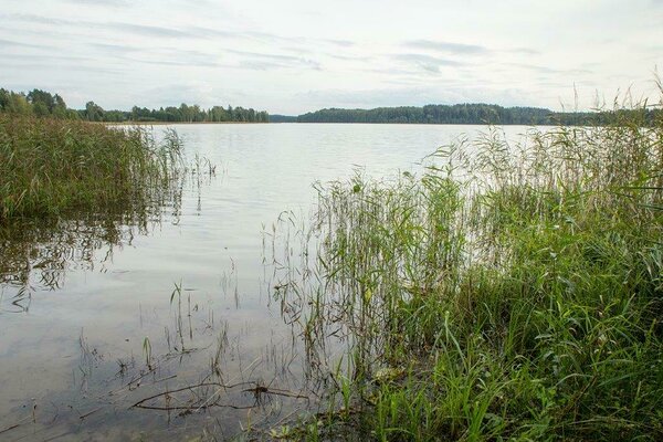
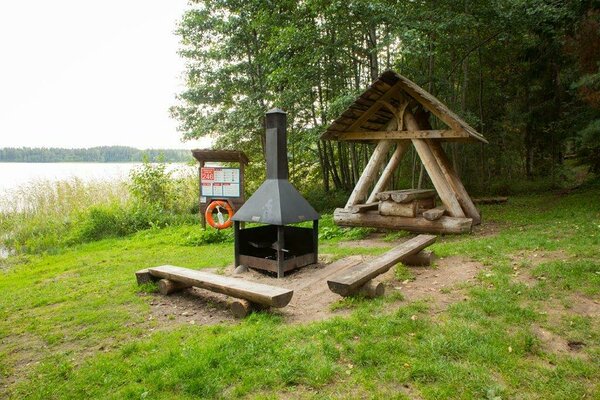
The campfire site is situated on the shore of Lake Ähijärv. The campfire site marks the start of the 4 km long Lake Ähijärv (study) trail and the 36 km long Karula hiking trail.
| Phone | +372 782 8350 |
|
info.karula@rmk.ee
| |
| Type of object | Campfire site |
| Parking facilities | Parking is limited to 2 cars on the side road. |
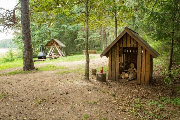
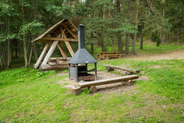
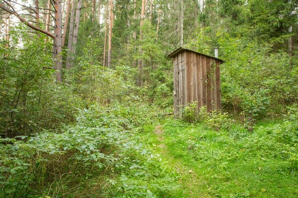
| Amenities | Information board, outdoor fireplace, firewood shelter, dry toilet, waste sorting bin, 2 benches, 1 picnic table. |
| Camping facilities |
The maximum number of tents (for 4) allowed is 2. |
| Outdoor fireplace | yes |
| Campfire site | Outdoor fireplace |
| Hiking options |
The campsite is on the RMK Peraküla-Aegviidu-Ähijärve Hiking Route. |
| Sights | Lake Ähijärv, semi-natural (farm) landscapes, forests with rich biodiversity, 4 km Lake Ähijärv hiking trail passes the campfire site. |
| Berries and mushrooms | Bilberries, mushrooms |
| Additional information |
|
| Restrictions | The campfire site is situated in Karula National Park, about restrictions please read here. Further information can be obtained from the Environmental Board (+372 662 5999, info@keskkonnaamet.ee). |
| Location | On the shore of Lake Ähijärv, Ähijärve village, Antsla municipality. Object no 4 on the national park map. |
| Driving directions | Drive 8 km from Antsla towards Haabsaare, turn right 50 m after the Haabsaare bus stop (signs “Karula rahvuspargi külastuskeskus 7 km”, “Saru 20 km”). Drive 6 km on Haabsaare–Saru road to the Ähijärve bus stop. Turn right, drive 350 m up to the lake and then turn right. Go 50 m across the bridge and arrive at the campfire site. |
| Geographic coordinates | Long-Lat WGS 84 latitude: 57.71925 longitude: 26.49997 |
| L-EST 97 x: 6400235 y: 648957 |