Peräjärve forest trail (4 km)
Võru County, Karula National Park
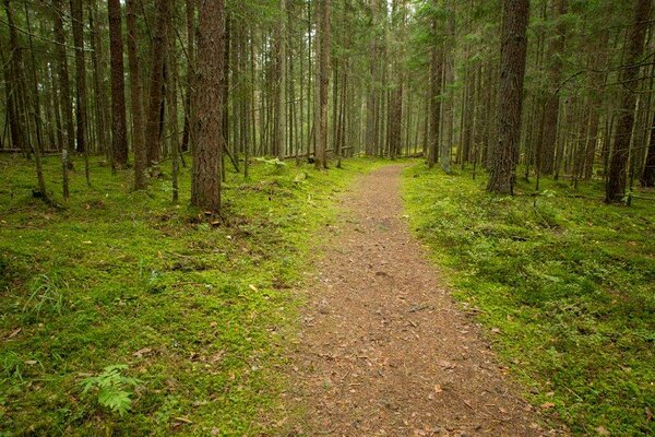
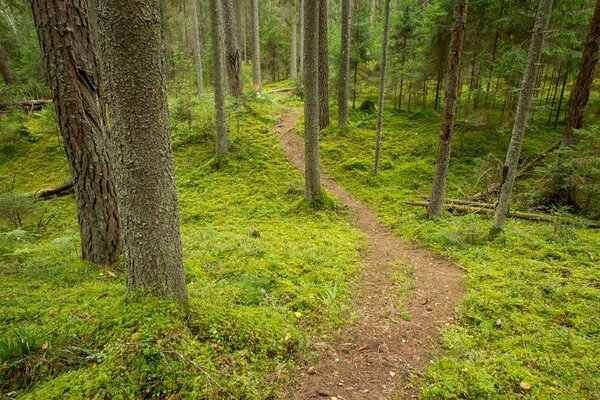
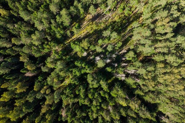
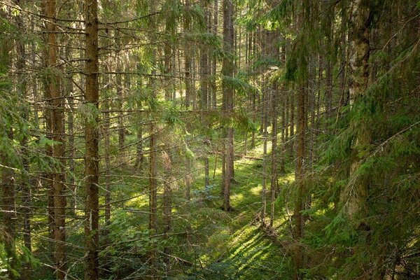
Peräjärve forest trail guides the hiker through different forest types—fresh boreal forest, dry boreal nemoral forest, and swamp forest. During the manor period the forests were the property of Vana-Antsla manor lord, who managed and used these for hunting. These hunting stories, Paruni (“Baron’s”) freshwater spring and pavilion at Hundiauk (“Wolf’s hole”) are still remembered in popular lore. The trail informs about the use of forests throughout the history—a fine example is the traces of resin collecting from trees by the forest trail.
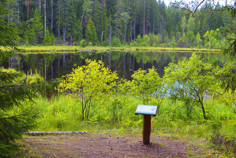
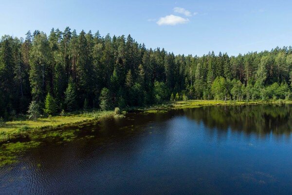
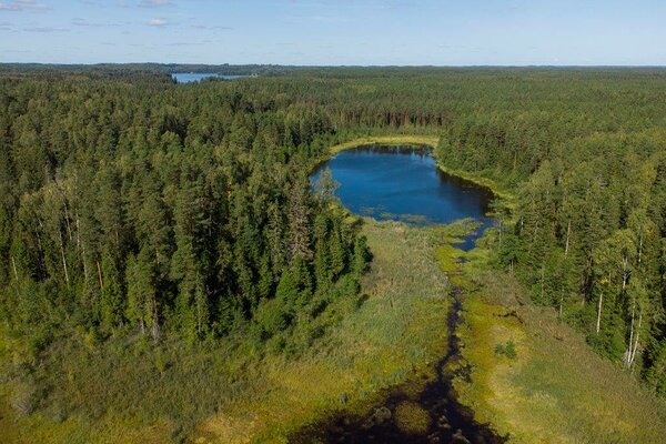
The trail features fascinating landforms: kettle basins, valleys of Hundiauk (“Wolf’s hole”), Säitsmäpõrguorg (“Valley of seven hells”). The trail passes Lake Peräjärv (“the furthermost lake”), the small overgrowing forest lake, which is the furthermost of the lakes in Ähijärve; hence the name. Also, traces of beaver activity can be seen on the lakeshore.
The trail makes a detour to “Baron’s” spring and ends on the Lossimägi hill, the site of a former Vanamõisa manor lord’s hunting castle. The castle was destroyed in a fire in 1921. Tall thujas and larches, ruins of a stove and fieldstone cellar now mark the site of the beautiful two-floor building with balconies. From the Lossimägi hill you can admire the Haanja uplands rising against the horizon.
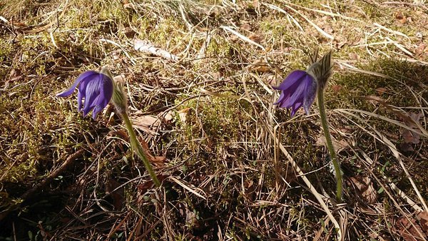
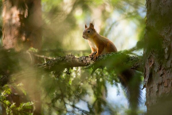
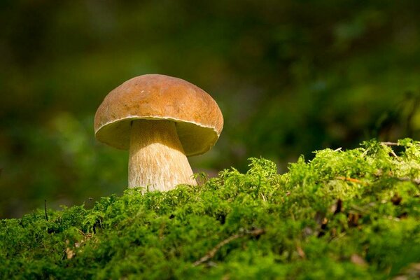
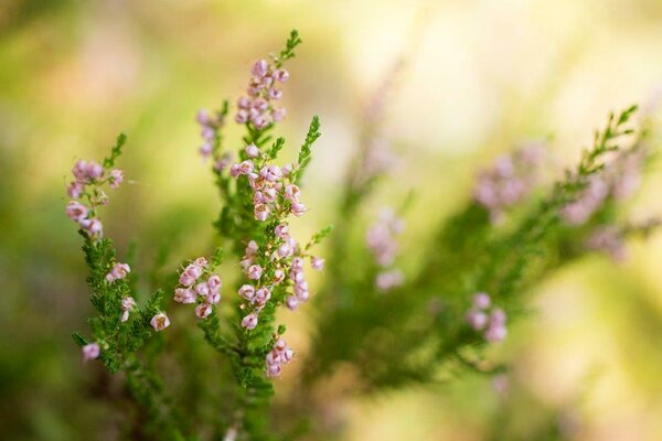
The study trail is most captivating in spring when the forest resounds with chirping birds and mezereon is in bloom; in summer and autumn when forests are filled with wild berries and mushrooms; and in winter when tracks in the snow tell an interesting story about wild animal activities.
The trail features fascinating landforms: kettle basins, valleys of Hundiauk (“Wolf’s hole”), Säitsmäpõrguorg (“Valley of seven hells”). The trail passes Lake Peräjärv (“the furthermost lake”), the small overgrowing forest lake, which is the furthermost of the lakes in Ähijärve; hence the name. Also, traces of beaver activity can be seen on the lakeshore.
The trail makes a detour to “Baron’s” spring and ends on the Lossimägi hill, the site of a former Vanamõisa manor lord’s hunting castle. The castle was destroyed in a fire in 1921. Tall thujas and larches, ruins of a stove and fieldstone cellar now mark the site of the beautiful two-floor building with balconies. From the Lossimägi hill you can admire the Haanja uplands rising against the horizon.
The study trail is most captivating in spring when the forest resounds with chirping birds and mezereon is in bloom; in summer and autumn when forests are filled with wild berries and mushrooms; and in winter when tracks in the snow tell an interesting story about wild animal activities.
| Phone | +372 782 8350 |
|
info.karula@rmk.ee
| |
| Type of object | Study trail |
| Parking facilities | For max 12 cars. |
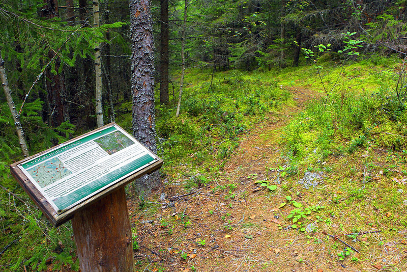
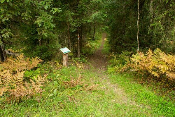
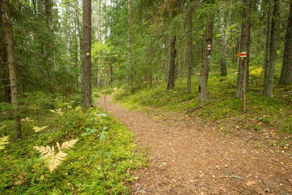
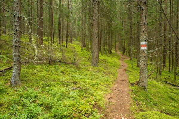
| Amenities | 17 information boards along the trail. The trail is marked with wooden arrow signs and colour blazing on trees. |
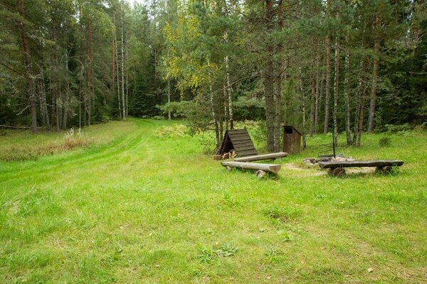
| Campfire site | Fire ring with a grill in the Peräjärve campfire site. |
| Hiking options |
by walking |
| Sights | The trail introduces different forest types, forest management and conservation and cultural heritage. |
| Berries and mushrooms | Cowberries, bilberries, mushrooms |
| Additional information |
|
| Restrictions | The trail is situated in Karula National Park, about restrictions please read here. Further information can be obtained from the Environmental Board (+372 662 5999, info@keskkonnaamet.ee). |
| Location | 3 km south of the visitor centre of Karula National Park in Ähijärve village, Antsla municipality. Object no 21 on the national park map. |
| Driving directions | Drive 8 km from Antsla towards Haabsaare, turn right 50 m after the Haabsaare bus stop (signs “Karula rahvuspargi külastuskeskus 7 km”, “Saru 20 km”). Drive 9.5 km on Haabsaare–Saru road and turn left to the parking area at the Peräjärve bus stop (sign “Peräjärve matkarada”). The hiking trail starts and ends next to the parking area. |
| Geographic coordinates | Long-Lat WGS 84 latitude: 57.68501 longitude: 26.52417 |
| L-EST 97 x: 6396462 y: 650551 |