Kotka hiking trail (6,7km)
Ida-Viru County, Alutaguse National Park
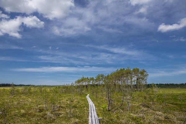
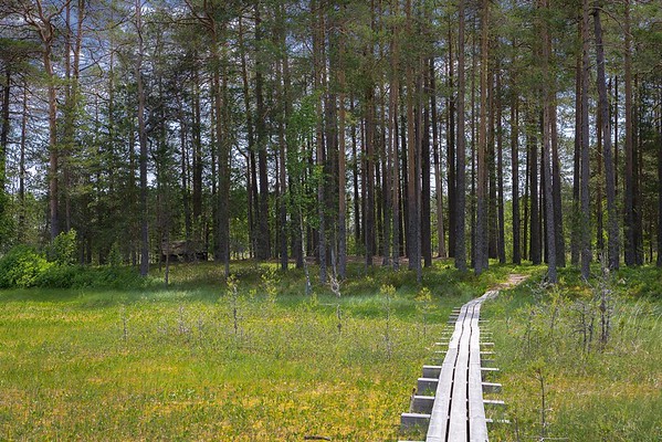
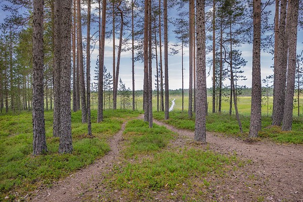
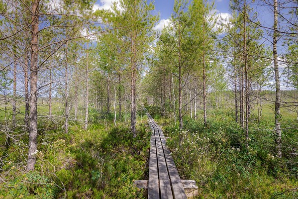
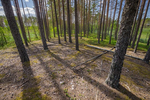
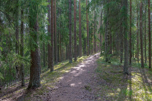
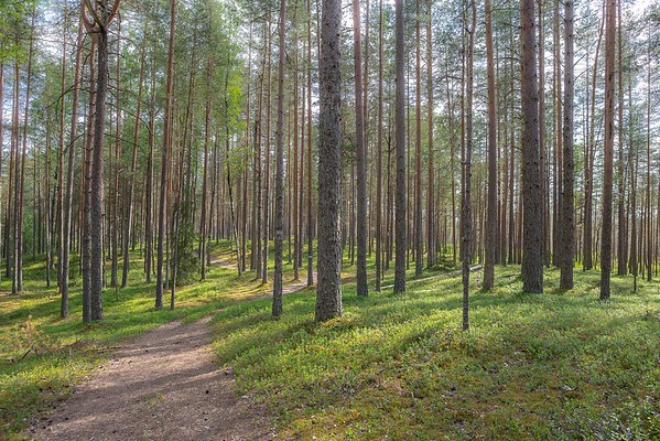
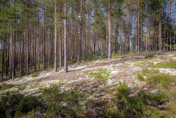
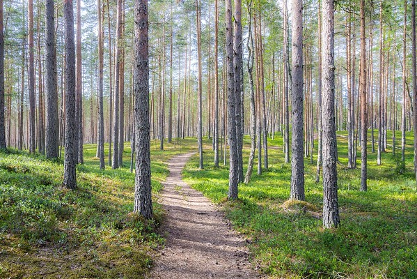
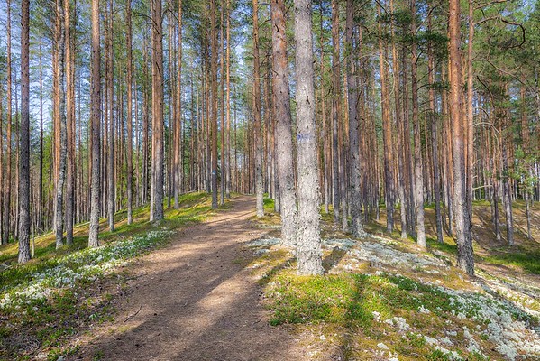
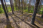
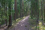
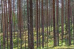
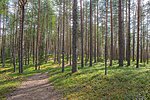
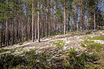
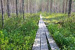
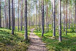
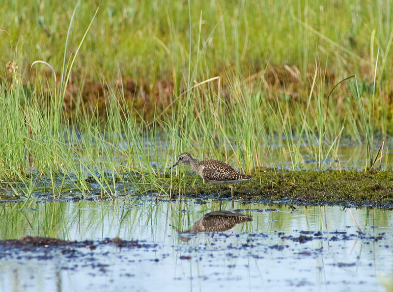
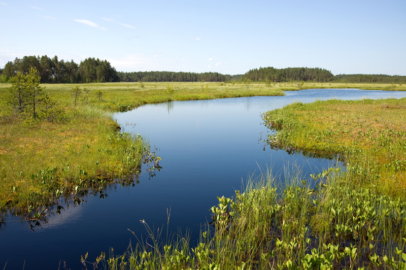
Kotka hiking trail introduces the fen and the transition mire and sandy eskers. Its sights include the high wooded sandy eskers, which developed when Lake Peipus receded, and the mystic bog islands in Rüütli bog, which developed from the sediments accumulated at the end of the Ice Age. The transition from sandy eskers to the mire is unexpected, this kind of varied landscape offers a pleasant change for hikers.
| Phone | +372 5681 5722 |
| info.alutaguse@rmk.ee | |
| Type of object | Hiking trail |
| Parking facilities | Parking
for 10 to 15 cars at the start of the hiking trail |
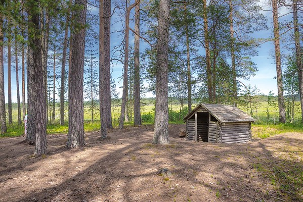
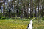
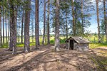
| Amenities | 3 campfire
sites, 2 dry toilets, shelter, conical tent, forest hut, observation tower on
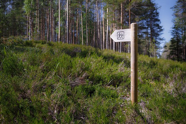
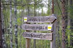
the upland. The trail is marked with blue and white blazes and symbols on brown
posts |
| Camping facilities | yes |
| Outdoor fireplace | yes |
| Campfire site | yes |
| Hiking options | yes |
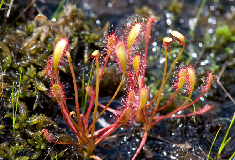
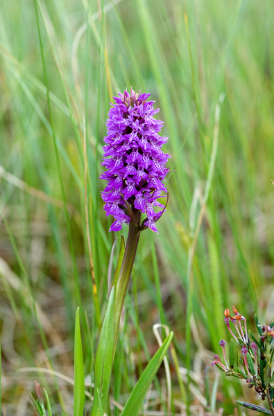
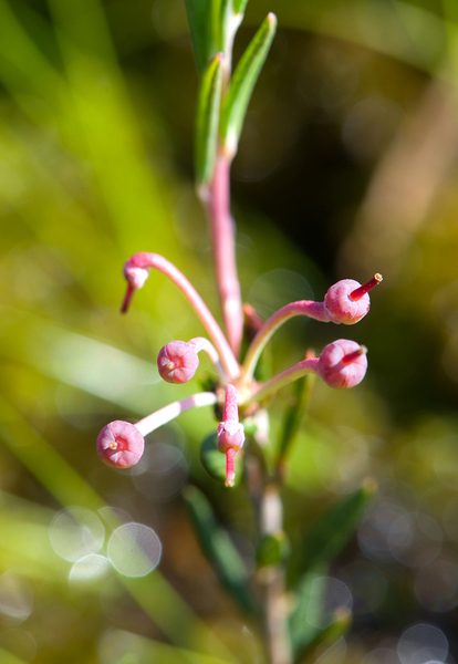
| Sights | Different
forest growth types, sandbanks formed of the recession of Lake Peipus, raised
bog flora, bog islands, bog pool, “money pit” |
| Berries and mushrooms | Cranberries, cowberries, bilberries, milk-caps |
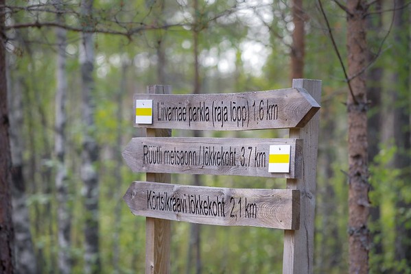
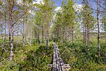
| Additional information | The trail starts from an old Lõppe sand quarry by Liivamäe parking lot. From there the trail runs along high sand banks and ends
with a boardwalk across the Rüütli bog (Muraka nature reserve) neat the
Alliku village. You can choose the shorter trail (1.5 km) in the Rüütli
bog, which forms a section of the 8 km trail. The trail is marked with
blue and white blazes on trees. Before going on a nature walk please read the Environmental code of conduct (freedom to roam). |
| Restrictions | According
to the nature conservation rules, motorised vehicle traffic is prohibited
outside roads and paths. Campfires can be made only in designated sites. |
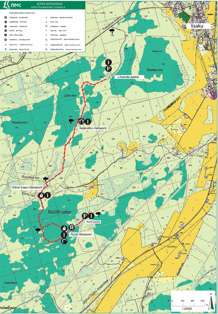
| Location | Alutaguse municipality, Ida-Viru county Object no. 7 on recreation area map |
| Driving directions | Turn to Tudulinna from Iisaku, drive to the 2nd kilometer post. After 50 metres turn lleft. Drive 1,5 km to the sand quarry where is Liivamäe parking lot. PS! Parking lot is for buses too! |
| Geographic coordinates | Long-Lat WGS 84 latitude: 59.089821 longitude: 27.275784 |
| L-EST 97 x: 6554679 y: 687668 |
Click on the map to
download it.
(The file is large, therefore the download takes a few minutes.)


(The file is large, therefore the download takes a few minutes.)