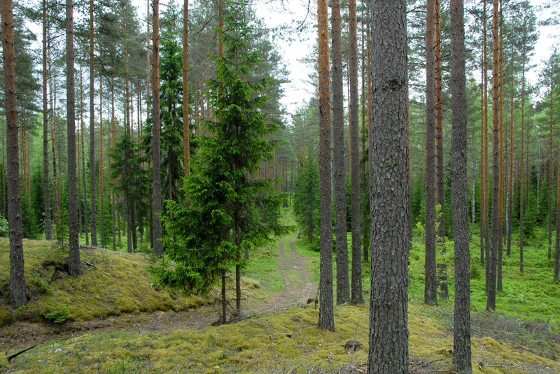
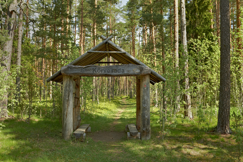
Oandu-Ikla hiking route
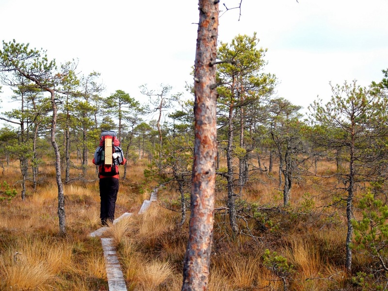
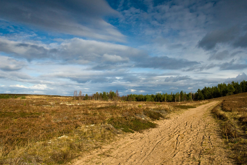
In July 2012 the first hiking route was opened. The 375 km journey starts from Northern Estonia Lahemaa national park, goes through the forests of Kõrvemaa and over one of Europe's largest bogs - Soomaa national park.
After Soomaa the trail goes through the forests of Pärnumaa until it reaches the seaside villages by the Liivi Bay. The hiking route goes through 6 countys, 2 national parks, 9 nature reserves and ends at the Estonian-Latvian boarder in Ikla.
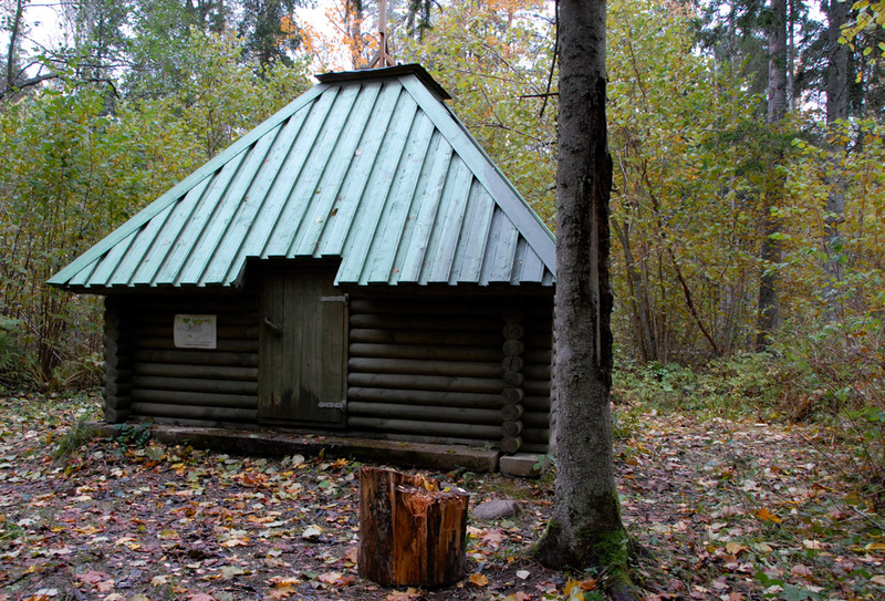
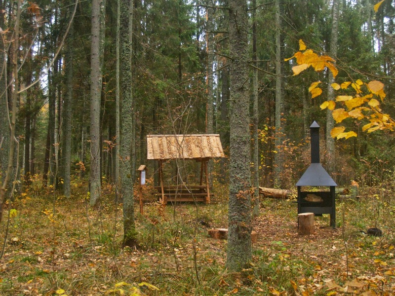
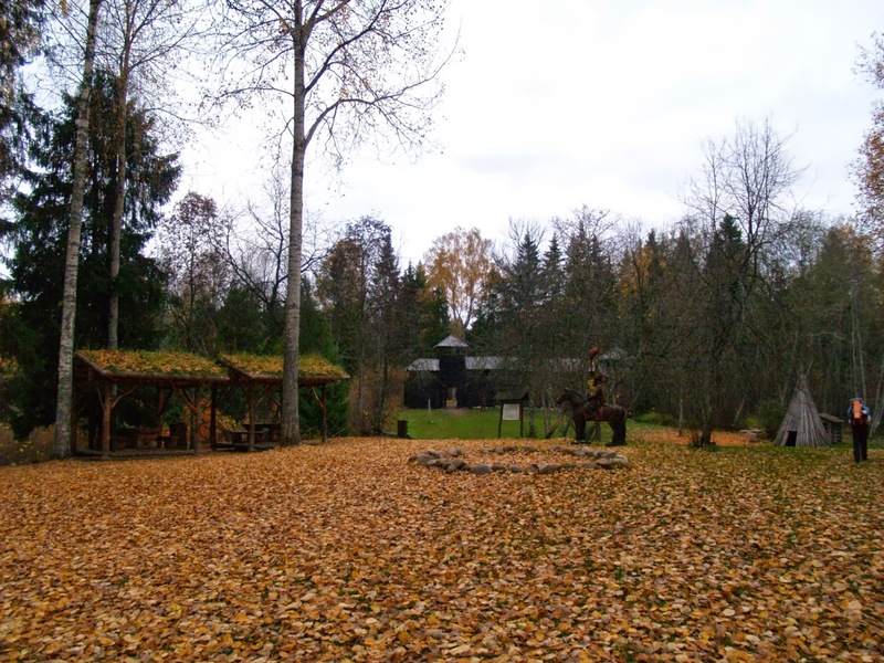
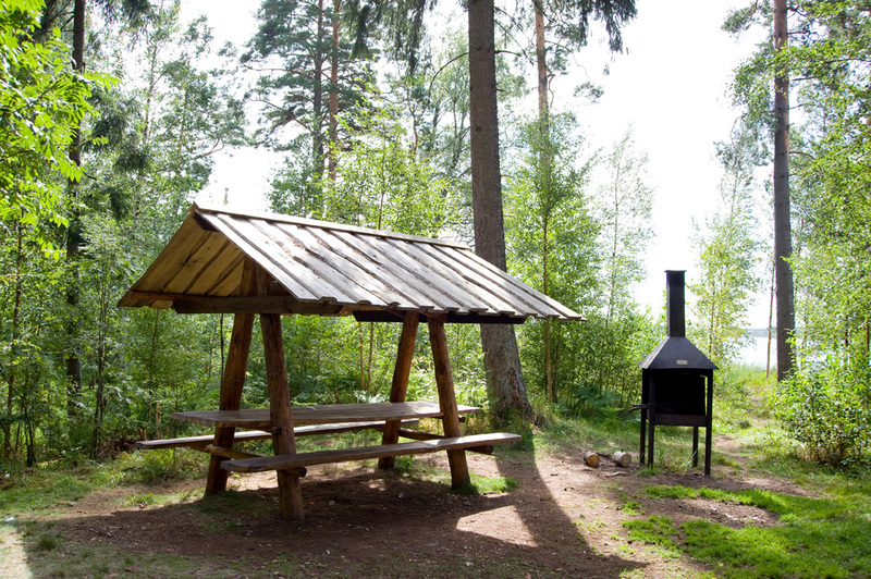
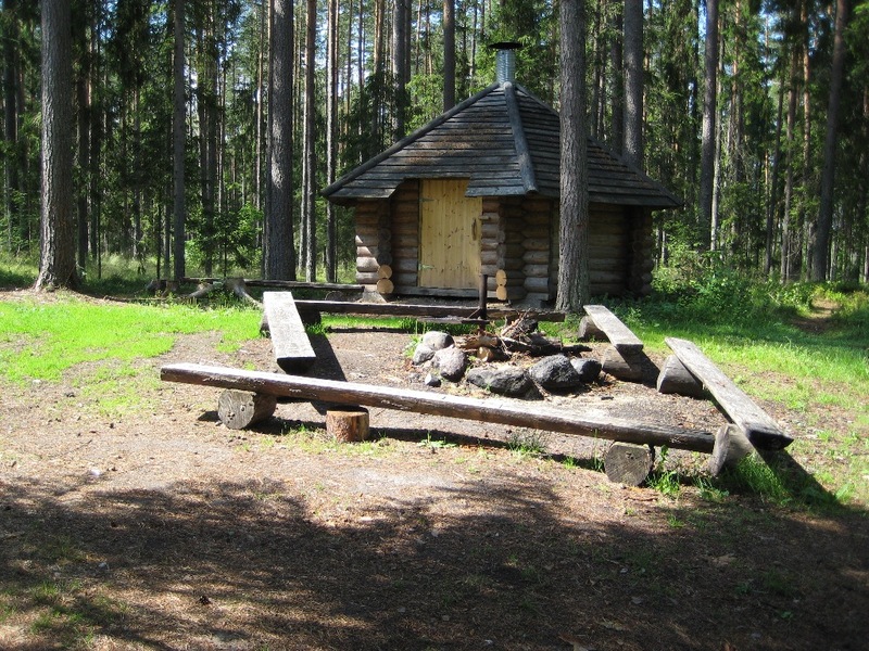
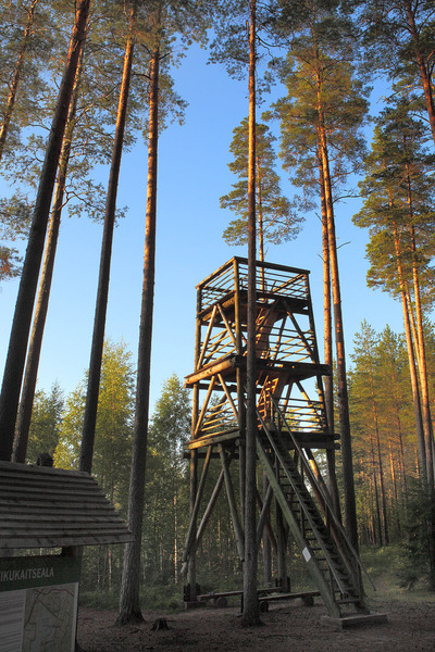
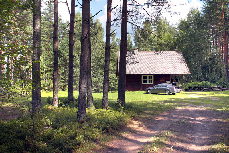
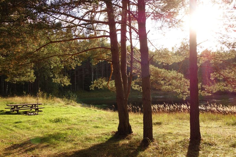
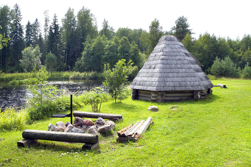
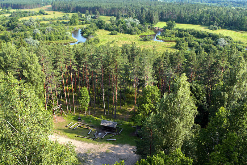
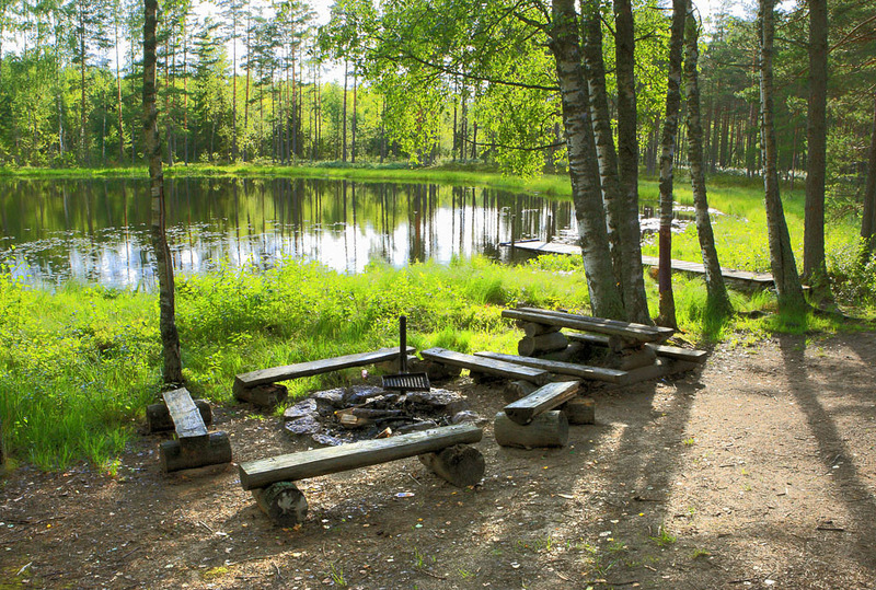
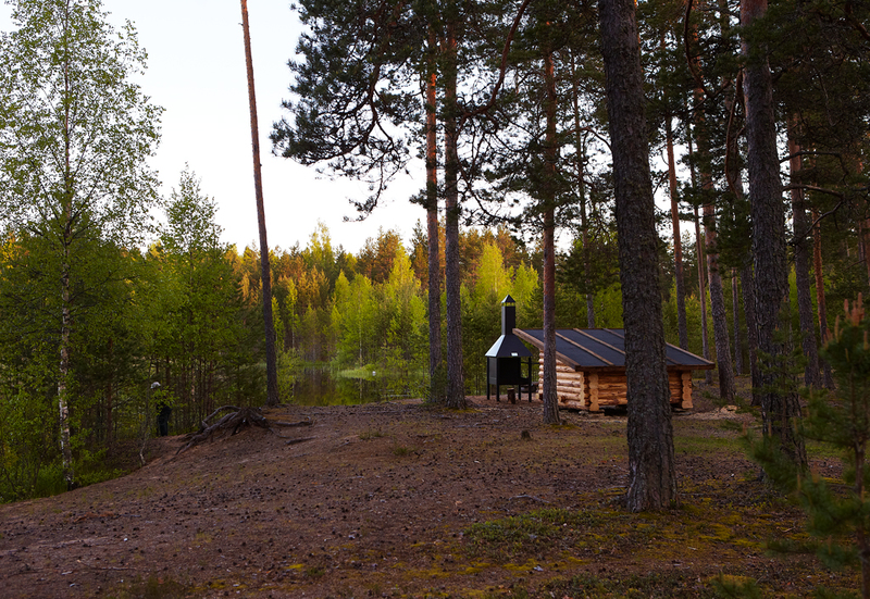
By the route you will find information boards that talk about forest management, heritage, culture and recreation. The route is marked with white-red-white paint markings and signposts at turning points.

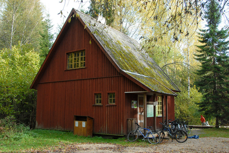
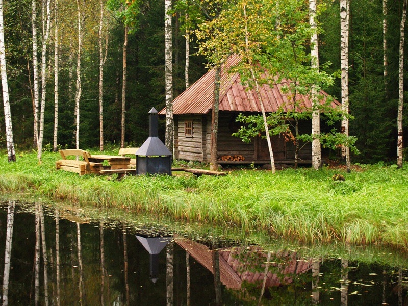
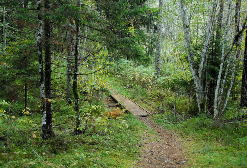
Aegviidu-Ähijärve hiking route
In 2013 there was a new addition to the existing hiking route that goes from Aegviidu to Ähijärve. The new route is based on the same principles connecting existing trails and campsites.
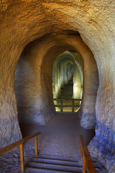
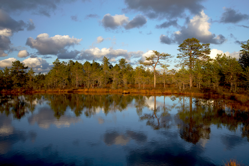
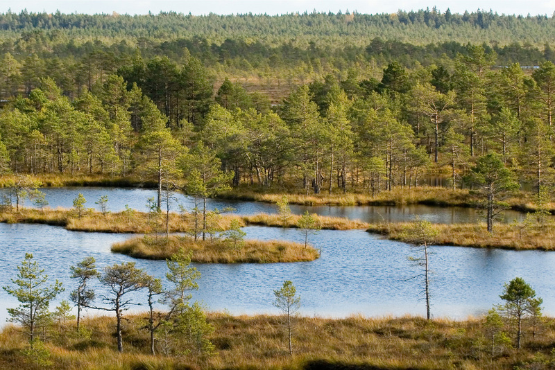
Aegviidu-Ähijärve hiking route goes through 8 counties, many nature reserves and exhibits on its 627 km many beautiful Estonian landscapes. You can admire agricultural landscapes in Järva county, impressive wetlands in Endla and Emajõe-Suursoo landscape reserves and tall pine forests filled with light in Põlva county. On the route there are several sandstone outcrops as the trail goes through Suur- and Väike-Taevaskoda and passes Härma and Make walls. On the route there are some of the most extraordinary sights of Estonia - the former underground glass sand mine of Piusa, the deepest lake of Estonia in Rõuge, two highest peaks of Estonia Suur Munamägi and Vällamägi, the steepest river of Estonia river Piusa, the most southern point of Estonia Naha village and the smalles national park Karula.
The trail is marked with white-green-white paint markings and signpost at turning points.

v%C3%A4ike_large.JPG)