Roela Cone Hut museum
Lääne-Viru County, North-Estonian Recreation Area
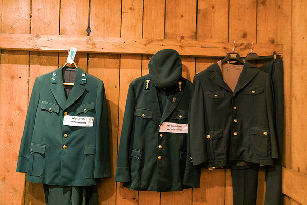
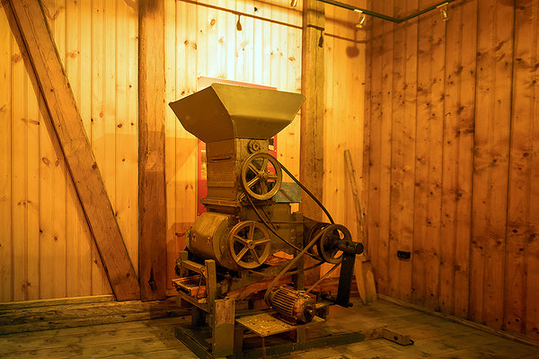
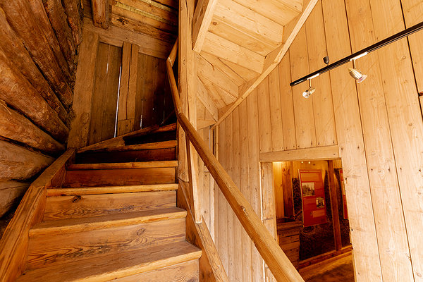
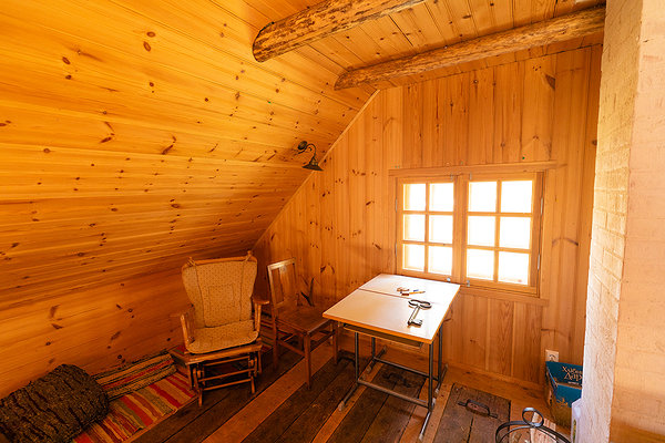
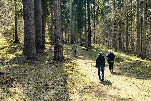
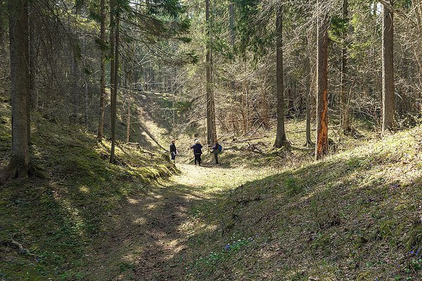
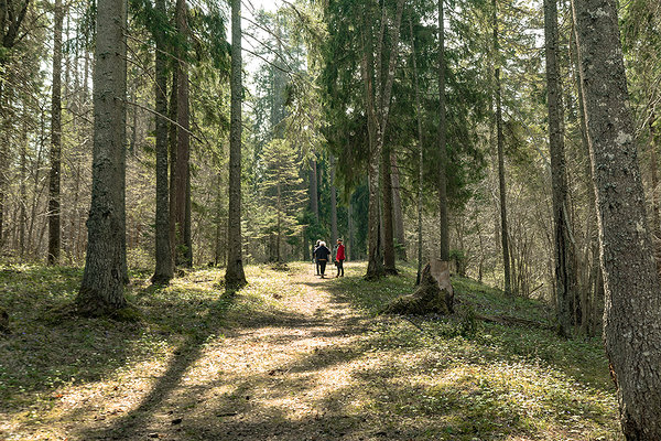
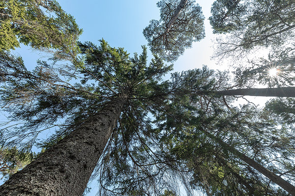
Roela cone hut museum is a fascinating visiting point that tells stories about the history of Estonian forestry. On June 2 2019 an information point will be opened to share the information about the local and other nature vacation opportunities in Estonian State Forest. The visitors have a possibility to look around in the cone hut established in 1928 by Estonian Head Office of State Forests.The cone hut is located at the edge of Mõdriku-Roela esker, which is the longest in Estonia. A part of Peraküla-Kauksi hiking route runs its course along the esker where there is the opportunity to see primeval pine and spruce forest and local culture heritage.The cone hut was renovated by RMK in 2008. There can be seen original stoves and equipment and permanent exhibition that tells stories about collecting and drying the cones and seeds of native trees. The Cone Hut operates in cooperation with Vinni municipality and NGO Roela Kodukant. Nature and heritage-related tours can be pre-ordered in the building and in the primeval forest on esker slopes behind the Cone Hut.
Welcome!
Welcome!
| Phone | Tiina Neljandik, +372 676 7010, +372 509 9397 |
|
info.oandu@rmk.ee | |
| Opening hours | 1 June - 31 August Fri-Sun 13.00-18.00 |
| Type of object | Information point |
| Parking facilities | Parking for 6 cars or 1
bus |
| Amenities | • Information and maps about RMKs recreational areas, protected areas, hiking routes and campsites. • Paid nature study programs for shildren and grown-ups. • events organised by RMK and NGO Roela Kodukant • Nearby outdoor fireplace with grillrest, 2 picnic tables with shelter, firewood shelter and DC for hikers and campers |
| Camping facilities |
Roela campfire site nearby |
| Wheelchair accessibility | Inva dry toilet |
| Water |
Tap water can be used when the information point is open. About 1 km distance is Roela shop where bottle water can be bought. |
| Hiking options |
RMK Penijõe-Aegviidu-Kauksi hiking route, hiking trails on Mõdriku-Roela esker |
| Sights | Mõdriku-Roela esker, Roela hill fort |
| Additional information |
|
| Driving directions | Drive Tallinn-Narva road (E20) 80 km, turn right to Rakvere, drive 8,7 km, Pärnu-Rakvere-Sõmeru road drive 5,1 km, Rakvere-Luige road drive 20 km,Tartu road drive 0,6 km, turn left and drive 23 m |
| Geographic coordinates | Long-Lat WGS 84 latitude: 59.174258 longitude: 26.580802 |
| L-EST 97 x: 6562365.2 y: 647541.7 |