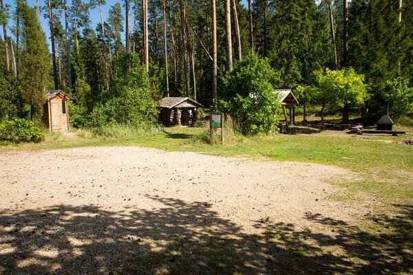
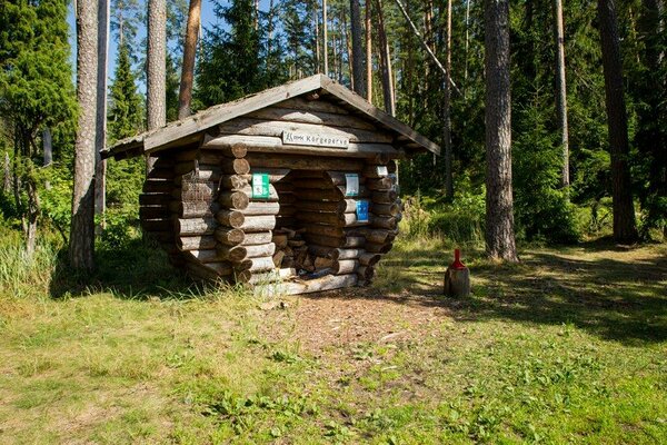
Kõrgeperve campfire site
Valga County, Haanja–Karula Recreation Area
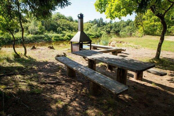
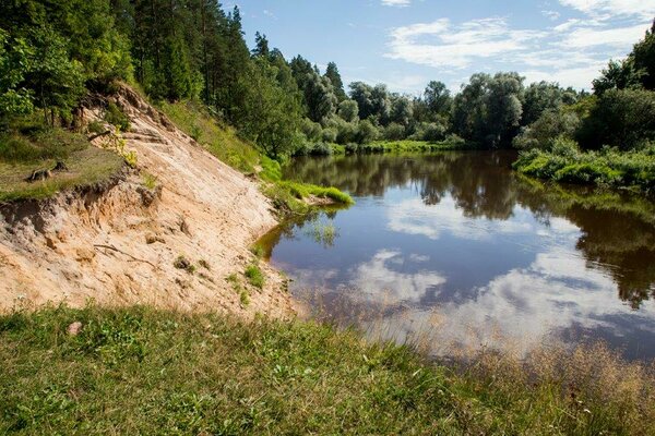
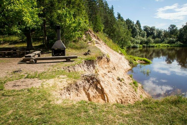
The campfire site is located in a naturally beautiful place, where the foaming waters of the Koiva river flow by. The place is also constantly changing, as the bank in the river bend is gradually worn away by the water. A wonderful place for recreation and enjoying the beauty of nature.
| Phone | +372 501 9564 |
|
info.pahni@rmk.ee
| |
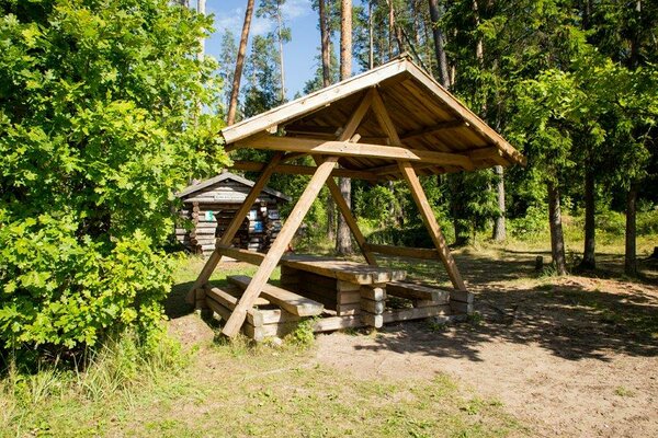
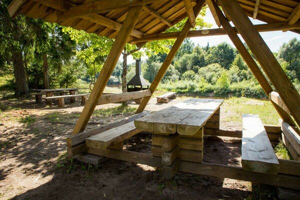
| Type of object | Campfire site |
| Parking facilities | Parking at the campfire site for 2 cars. |
| Amenities | Fire ring with benches, dry toilet, woodshed |
| Camping facilities | Camping space for 4 tents. |
| Outdoor fireplace |
Outdoor fireplace.
|
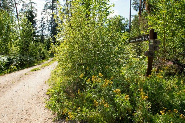
| Hiking options |
Here passes the Karula cycling trail (50 km), the Koiva cycling trail (20 km), the Estonian-Latvian joint cultural heritage trail (60 km) and the RMK Peraküla-Aegviidu-Ähijärve hiking route. |
| Berries and mushrooms | Bilberries, cowberries, mushrooms |
| Additional information |
Before going on a nature walk please read the Environmental code of conduct (freedom to roam), rules of conduct and waste-sorting policy
|
| Restrictions | The campfire site is situated in Koiva-Mustjõe Landscape Protection Area, information about restrictions can be obtained from the Environmental Board (+372 662 5999, info@keskkonnaamet.ee). |
| Location | By the Koiva River, Valga municipality, Valga County. Object no 2 on the recreation area map. |
| Driving directions | On Võru–Valga road (Road no. 67), 53 km from Võru, about 1.5 km after Hargla, turn left (follow the sign “Taheva Sanatoorium”), drive 1.4 km and turn left again. After 1 km drive off the asphalt road onto narrow gravel road (follow the sign “Tellingumäe vaatetorn”). Drive about 7 km and turn left (follow the sign “RMK Kõrgeperve lõkkekoht”), the campfire site is 30 m from the sign. |
| Geographic coordinates | Long-Lat WGS 84 latitude: 57.621393 longitude: 26.256732 |
| L-EST 97 x: 6388834 y: 634840 |