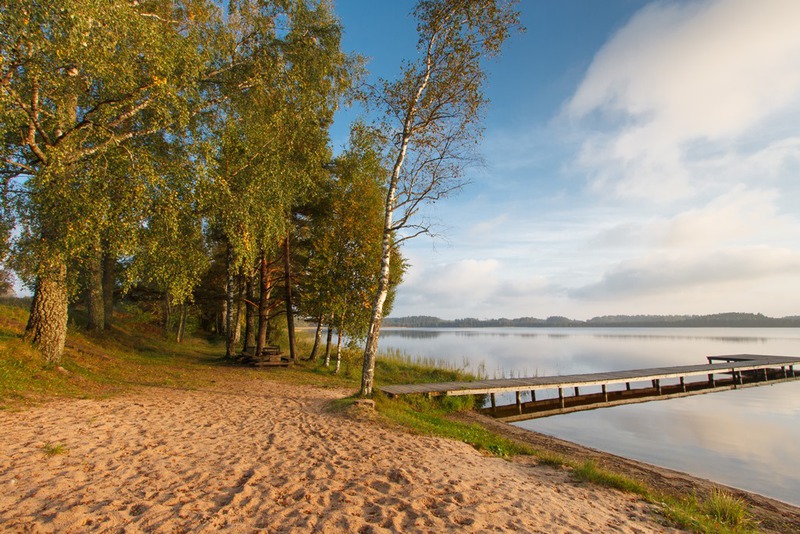
Kirikumäe hiking trails (3.2 km)
Võru County, Haanja–Karula Recreation Area
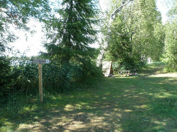
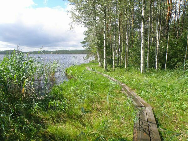
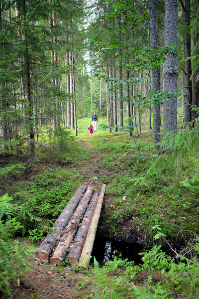
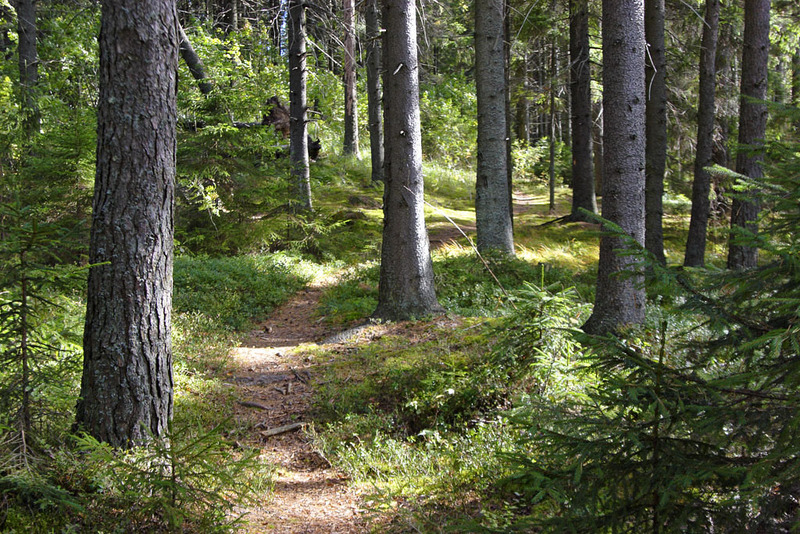
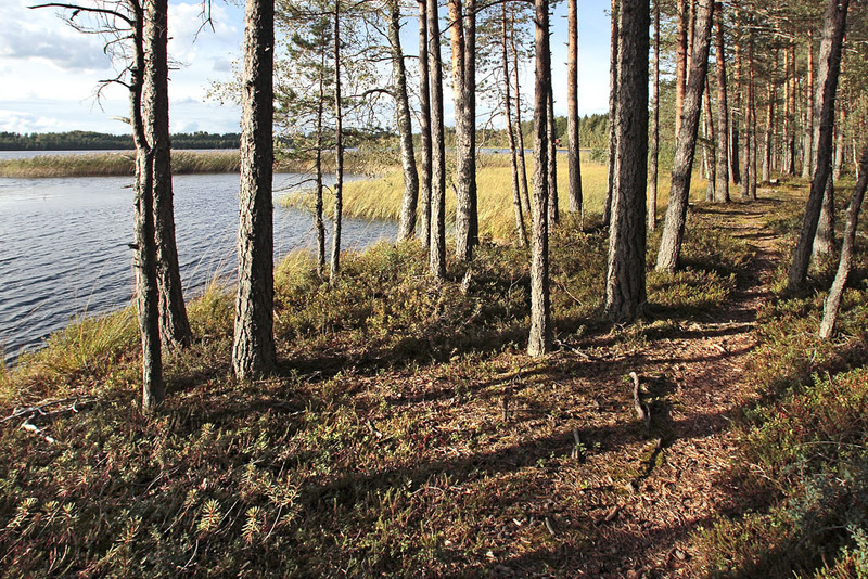
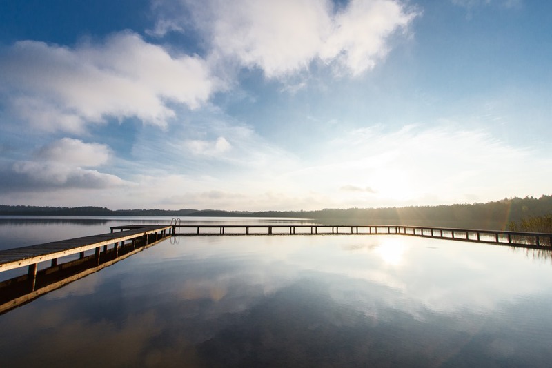
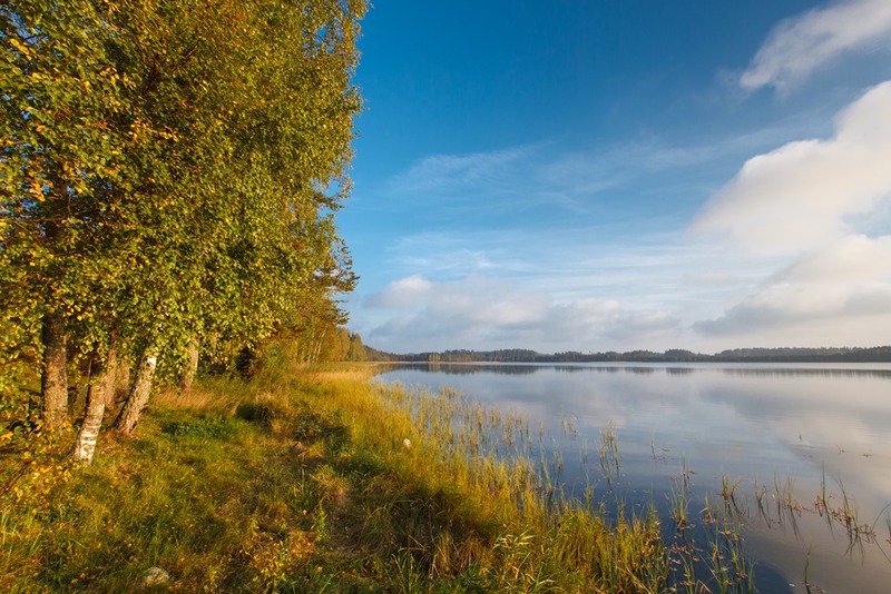
The 3,2 km long hiking trail goes around lake Kirikumäe and is situated in Kirikumäe Landscape Protection Area.
The trail is supplied with wooden signs and information boards.
| Phone | +372 501 9564 |
|
info.pahni@rmk.ee
| |
| Type of object | Hiking trail |
| Parking facilities | Parking area for 5 cars. |
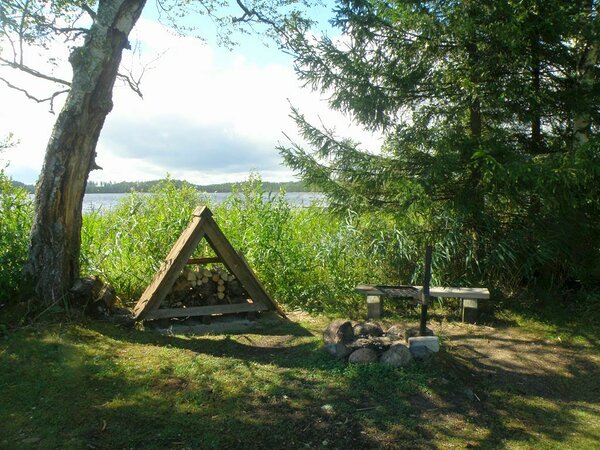
| Amenities | Kirikumäe hiking trail is 3.2 km long, partly boardwalk. There are fire ring with barbecue grill along the trail. |
| Camping facilities |
On the Kirikumäe campfire site max 2 tents. |
| Campfire site | 1 fire ring with a grill |
| Hiking options |
by walking |
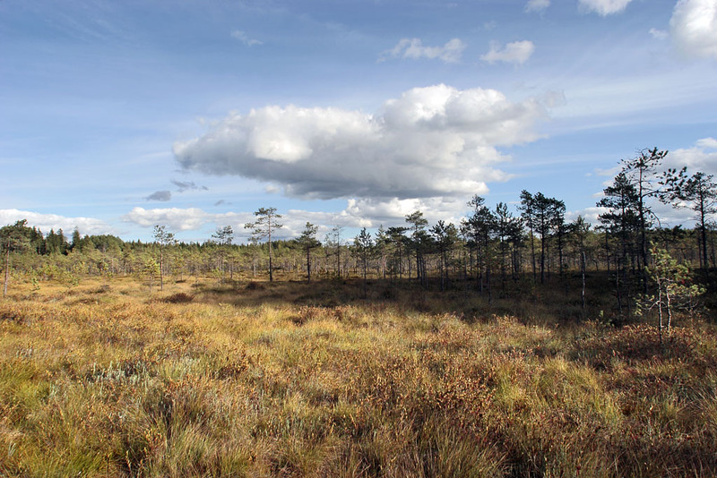
| Sights | Bog lakes, forest and meadow communities, and scenic view of rolling landscape. |
| Additional information |
|
| Restrictions |
The hiking trail is in Kirikumäe Landscape Protection Area, information about restrictions can be obtained from the Environmental Board (info@keskkonnaamet.ee, +372 662 5999). |
| Location | Võru municipality, Võru County. Object no 39 on the recreation area map. |
| Driving directions | Drive about 19 km on Võru–Luhamaa road (Road no. 2, E263) towards Vastseliina and turn right to Vastseliina. Drive past the fire station, across the bridge, to the junction, turn left and drive 6.8 km straight ahead on the asphalt road up to the intersection at the Järvsaare bus stop. Turn left and drive 500 m. The lake and campfire sites, as well as the start of the trail are to the right of the road. |
| Geographic coordinates | Long-Lat WGS 84 latitude: 57.68758 longitude: 27.25216 |
| L-EST 97 x: 6398631.9 y: 693923.2 |