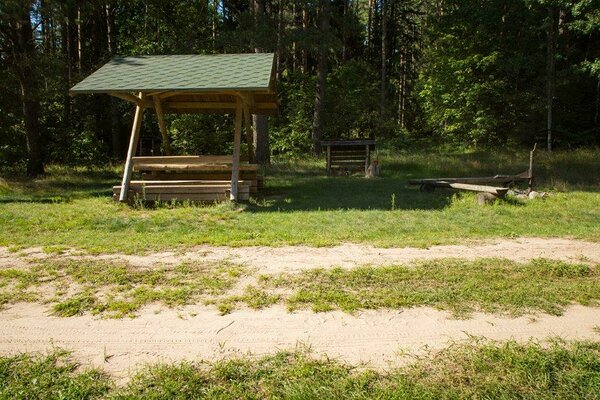
Cycling trails campfire site
Valga County, Haanja–Karula Recreation Area
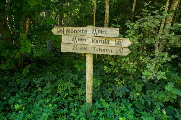
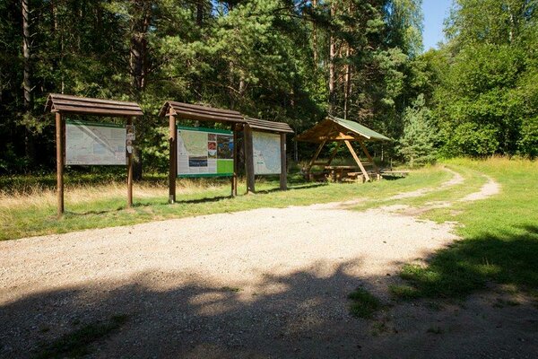
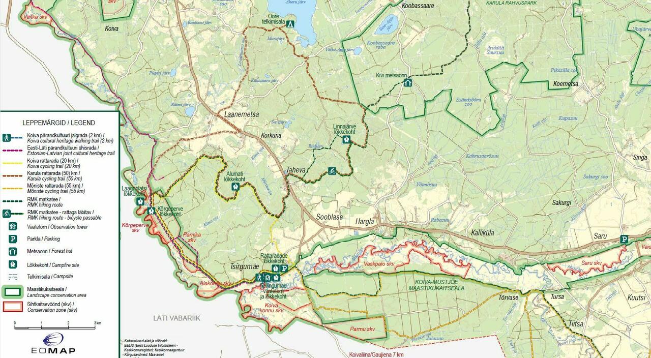
The Cycling trails campfire site is the start for 4 bicycle trails and 1 heritage trail. Of course, you can also use the campfire site if you are not cycling. The site is easy to find and use. At the campfire site there are information boards with information on the recreation area and the cycling trails. Also the Tellingumäe observation tower is nearby.
| Phone | +372 501 9564 |
|
info.pahni@rmk.ee
| |
| Type of object | Campfire site |
| Parking facilities | Parking for about 10 cars near the campfire site. |
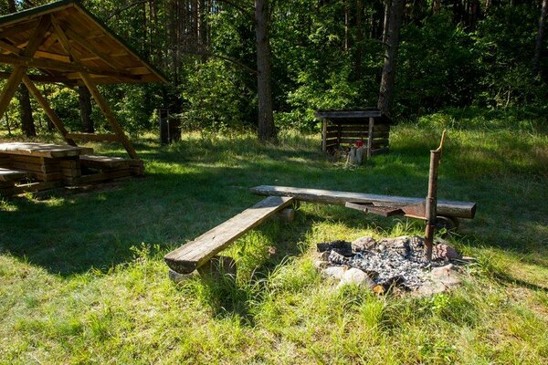
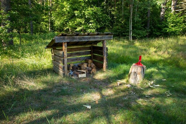
| Amenities | Picnic table with shelter, campfire ring |
| Campfire site | Fire ring with a grill. |
| Hiking options |
This is the start of Koiva cycling trail (20 km); Karula cycling trail (50 km); Mõniste cycling trail (55 km). Here you can also start Estonian-Latvian joint cultural heritage trail (60 km) and Koiva heritage walking trail, completed in 2010, which is 2 km long and supplied with 9 information boards introducing cultural heritage. |
| Additional information |
Before going on a nature walk please read the Environmental code of conduct (freedom to roam), rules of conduct and waste-sorting policy
|
| Location | Tsirgumäe village, Valga municipality, Valga County. Object no 7 on the recreation area map. |
| Driving directions | On Võru–Valga road (Road no. 67), 53 km from Võru, about 1.5 km after Hargla, turn left (follow the sign “Taheva Sanatoorium”), drive 1.4 km and turn left again. After 1 km drive onto narrow gravel road (follow the sign “Tellingumäe vaatetorn”) and you’ll arrive at the campfire site after about 1 km. It is also the start of Koiva and Mõniste cycling trails. Tellingumäe observation tower is 250 m from the campfire site. |
| Geographic coordinates | Long-Lat WGS 84 latitude: 57.598823 longitude: 26.332905 |
| L-EST 97 x: 6386477 y: 639477 |