Lake Endla hiking trail (8 km)
Jõgeva County, Endla Nature Reserve
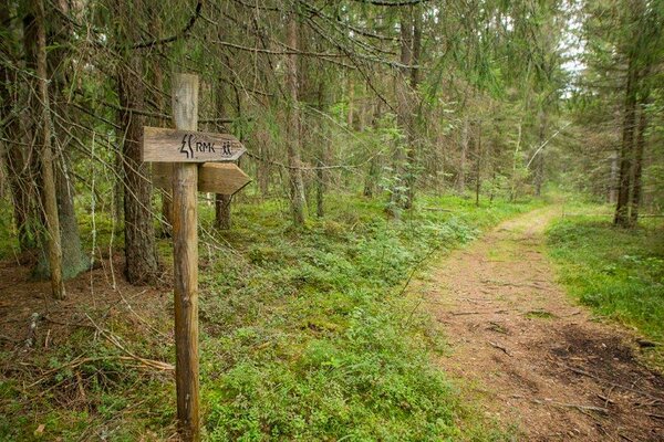
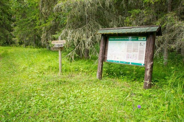
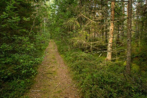
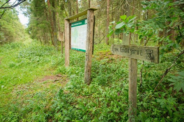
The trail starts at the information board in Kärde and ends at Tooma. It takes 3 h on average to walk the trail. Near Tooma the trail coincides with Lake Männikjärv bog study trail. During flood the trail can be partly flooded. The trail is intended for walking and is marked with yellow spots on trees.
| Phone | +372 676 7030 |
| info.elistvere@rmk.ee | |
| Type of object | Hiking trail |
| Parking facilities | Parking for 10 cars and 2 buses in front of the centre of Endla Nature Reserve at Tooma and for 5 cars in the parking area by Kärde road. |
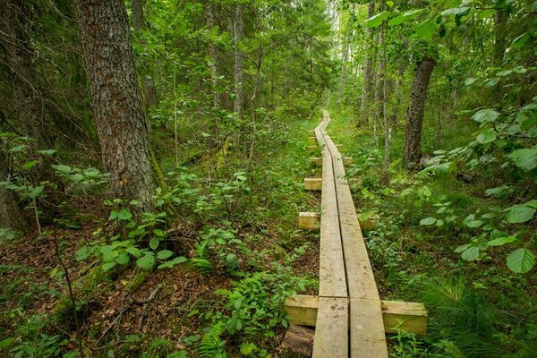
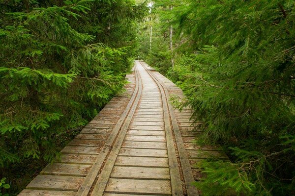
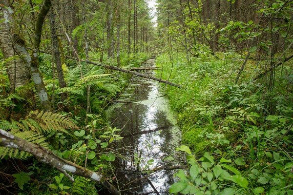
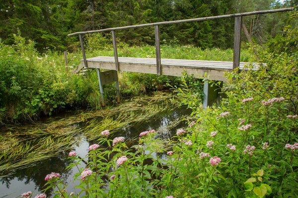
| Amenities | 4 information boards, “Old boat harbour” campfire site, Endla rental hut, 11 bridges. Some parts of the trail are covered with wood chips, some sections run along boardwalks on the shore of Lake Endla. |
| Camping facilities | Vana Paadisadama campfire site |
| Outdoor fireplace | yes |
| Hiking options | Männikjärve bog study trail (7,3 km) |
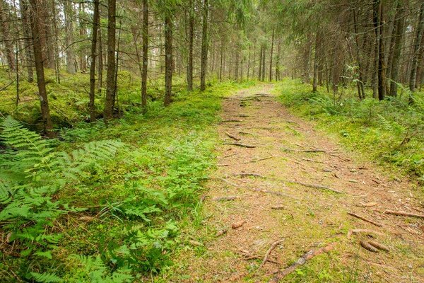
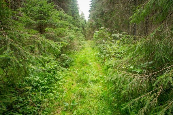
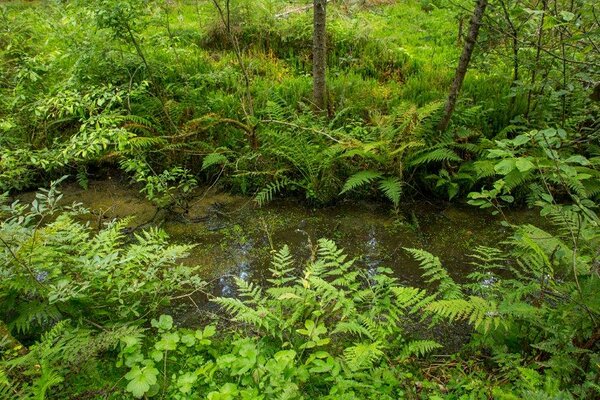
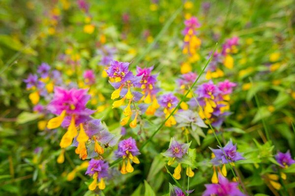
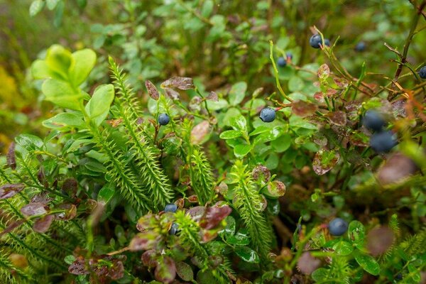
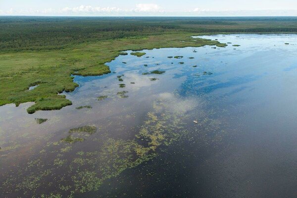
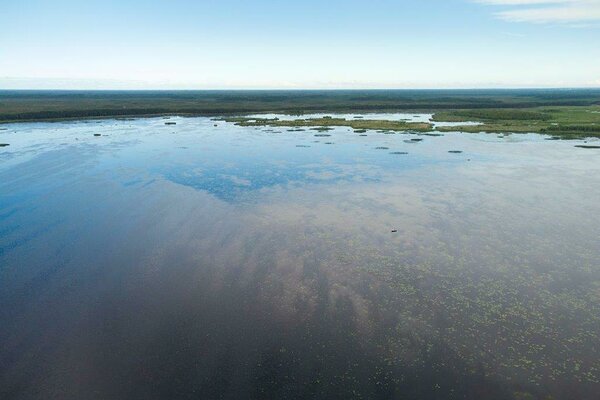
| Sights | Lake Kaasikjärv bog, Lake Endla, birch swamp forest, Endla wooded meadow (Salu), Mustjõgi River, Lake Kaasikjärv, Lake Männikjärv bog, Lake Männikjärv and different forest communities. |
| Additional information |
Before going on a nature walk please read the Environmental code of conduct (freedom to roam), rules of conduct and waste-sorting policy
|
| Restrictions |
Situated in Endla Nature Reserve.
Camping and making campfire is allowed only with the consent of the protected area manager in designated places. For driving off-road vehicles and organising public events with more than 20 participants, organising boat trips and staying in the special management zone of Lake Endla and Lake Sinijärv, a permit must be obtained from protected area manager. For fishing on Lake Endla and Sinijärv the fishing card is required. Additional information from the Environmental Board: +372 662 5999, info@keskkonnaamet.ee. |
| Location | Kärde and Tooma villages, Jõgeva municipality, Jõgeva County Object no 2 on recreation area map |
| Driving directions | On Tartu–Piibe road, 60 km from Tartu, turn left (follow the sign to Kärde) on Kärde hill and drive around Kärde Rahumaja (“Peace House”) and then turn left, drive straight on for about 1 km. At the road fork keep to the right. Then drive about 2 km to a grove, turn right and drive about 50 m to the information board. Park the car at the roadside in front of the board (Attention: the road may not be easily passable). |
| Geographic coordinates | Long-Lat WGS 84 latitude: 58.848169 longitude: 26.240611 |
| L-EST 97 x: 629314 y: 6525363 |