Hüpassaare campfire site
Viljandi County, Soomaa National Park
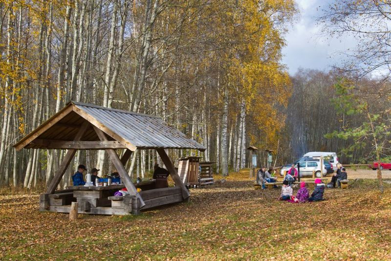
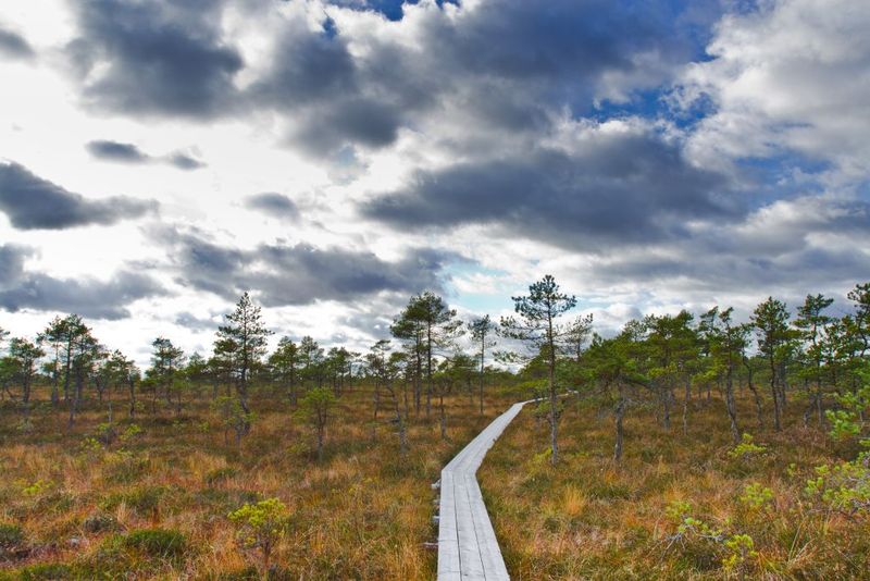
Hüpassaare campfire site is at the beginning of Hüpassaare study trail. The campfire site provides a place to picnic and camp also if you come with a larger company. A solid shelter protects you against poor weather conditions.
| Phone | +372 526 1924 |
|
info.soomaa@rmk.ee
| |
| Type of object | Campfire site |
| Parking facilities | Parking area for 30 cars. |
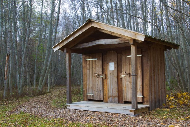
| Amenities | Fire ring with barbecue grill, firewood shelter, 2 dry toilets and shelter, information boards, waste bins |
| Camping facilities |
The maximum number of tents (for 4) allowed is 20. |
| Campfire site | Fire ring with a grill. |
| Hiking options |
The campfire site is on the RMK Oandu-Aegviidu-Ikla Hiking Route. |
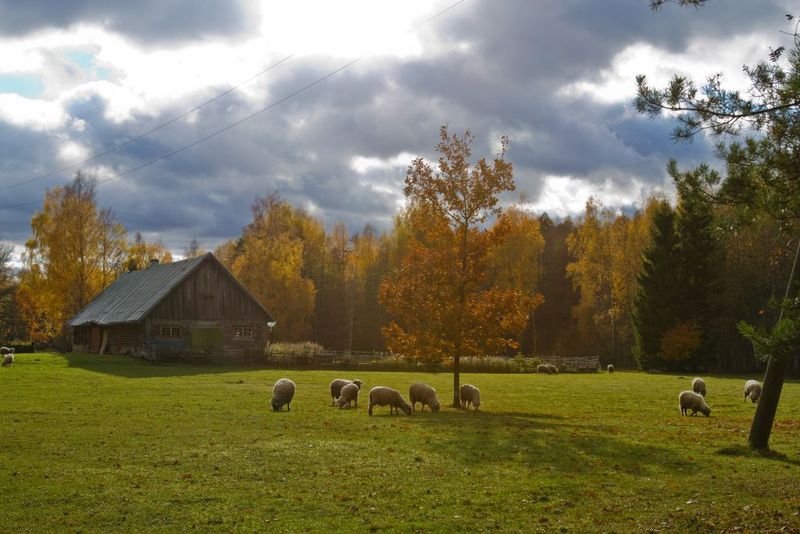
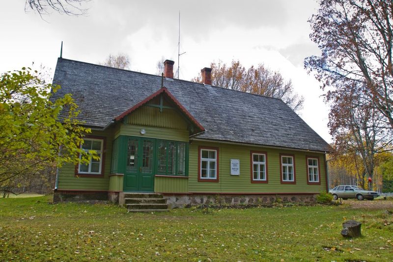
| Sights | M.Saar House Museum, semi-natural landscape – wooded meadow. |
| Additional information | The object is equipped with firewood. Before going on a nature walk please read the Environmental code of conduct (freedom to roam), rules of conduct and waste-sorting policy |
| Restrictions | In the territory of the National Park certain restrictions. Further information can be obtained from the Environmental Board (+372 662 5999, info@keskkonnaamet.ee). |
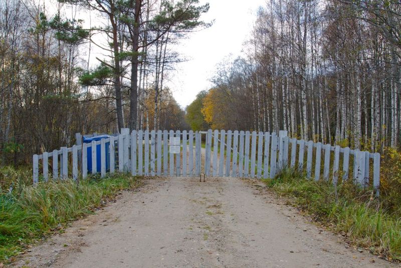
| Location | Karjasoo village, Põhja-Sakala municipality, Viljandi County. Object no 33 on the national park map. |
| Driving directions | Drive along the Kildu–Tõramaa road past Soomaa Visitor Centre and RMK information point. When you drive from Tõramaa towards Tori, take the first turning to the right and drive 15.2 km. Turn left at the junction and drive 6.2 km to the sign and junction at Kibaru farm. Turn left at the junction and drive 3.4 km to the sign directing at the Hüpassaare museum. The campfire site is 800 m from there. Attention! In winter and during floods the road may not be easily passable by car. When coming from the direction of Viljandi–Suure-Jaani–Vändra, Hüpassaare is accessible along road no. 57. In Kootsi village, 200 m after Kootsi bus stop turn left towards Hüpassaare and Mart Saar museum. From the junction, drive 6.5 km along straight signposted forest roads. Attention! In winter and during floods the road may not be easily passable by car. |
| Geographic coordinates | Long-Lat WGS 84 latitude: 58.530385 longitude: 25.271756 |
| L-EST 97 x: 6488510.3 y: 574078.1 |