Salevere hiking trail (1.5 km)
Pärnu County, Matsalu National Park
The 1.5 km trail runs along the ridge rising a dozen metres above the surrounding ground level. The ridge is covered with alvar forest rich in different species, the cliff towers above a nemoral forest, which is quite a rare forest type in Estonia. The trail starts on an alvar with juniper bushes, in the middle part offers you a detour to the ridge of a prehistoric defence structure, and at the end a chance to drink refreshing natural spring water.
| Phone | +372 513 8783 |
| info.matsalu@rmk.ee | |
| Type of object | Hiking trail |
| Parking facilities | Parking for 10 cars on roadside patch of grass, for tour buses at roadside. |
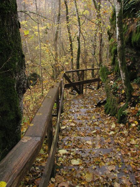
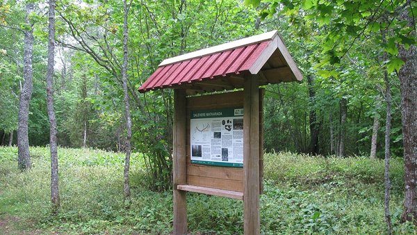
| Amenities | The trail starts on a recreation site, which has a picnic table with shelter, dry toilet, information boards with maps of the trail and the area. The trail runs along a surface path and is well visible on the landscape. Beneath the cliff there is a 120 m long boardwalk and 30 m and 13 m stairs going up and down. The trail passes the Midsummer bonfire site of the Salumäe Society which maintains the trail, but this is not an official campfire site. There is a bench at the end of the trail and another at the bonfire site, and a waste bin. |
| Hiking options | yes |
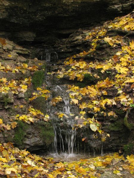
| Sights | Salumägi hill in Salevere, Silma spring, ridge of a prehistoric defence structure, nemoral forest beneath and alvar forest on the cliff. |
| Additional information |
|
| Restrictions | Matsalu National Park, limited management zone. Before your visit, please get acquainted with valid nature conservation rules of Matsalu National Park.
Information about restrictions can be obtained from the Environmental Board (+372 662 5999, info@keskkonnaamet.ee).
|
| Location | Salevere village, Lääneranna municipality, Pärnu County Object no 1 on the national park map |
| Driving directions | Drive 56 km on Risti–Virtsu road (Road no. 10) to Ridase, turn left towards Salevere. Drive 9 km on the road to Salevere village, pass the two-storey residential houses and arrive at the parking area and recreation site, which also mark the start of the hiking trail. |
| Geographic coordinates | Long-Lat WGS 84 latitude: 58.690320 longitude: 23.580652 |
| L-EST 97 x: 6505698 y: 475684 |