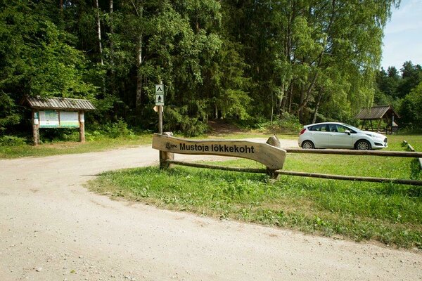
Mustoja campfire site
Lääne-Viru County, Lahemaa National Park
The
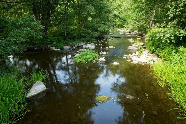
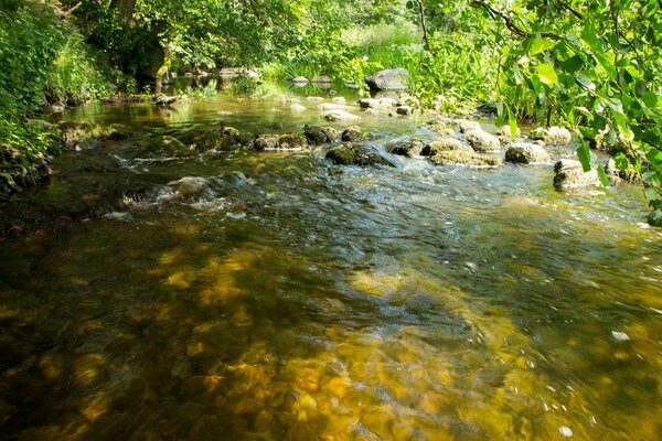
easternmost RMK campfire site at the bend of the Mustoja River near the coast in Lahemaa
National Park
| Phone | +372 676 7010 +372 329 5555 |
|
info.oandu@rmk.ee
info.lahemaa@rmk.ee | |
| Type of object | Campfire site |
| Parking facilities | Parking
for 5 cars or 1 bus |
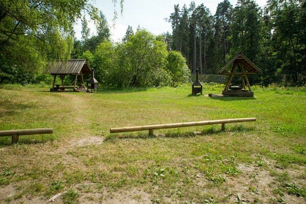
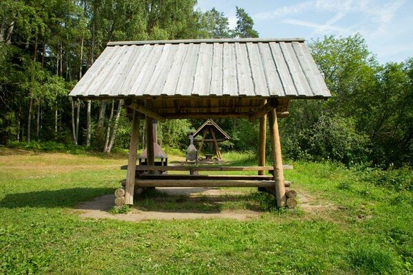
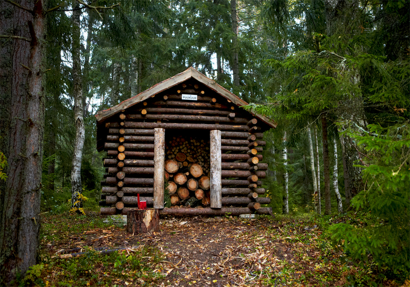
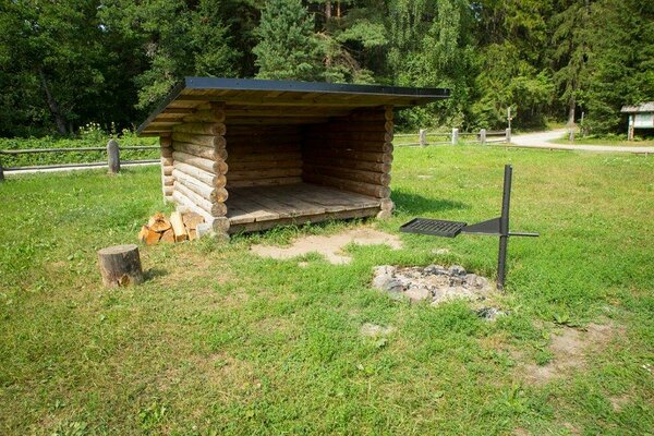
| Amenities | Information board, lean-to sheler, 3 campfire
sites with grillrest, incl. 2 outdoor fireplaces, 2 picnic tables with shelter, firewood shelter, DC, waste bin |
| Camping facilities | Camping for 9 tents (for 4) |
| Outdoor fireplace | yes |
| Campfire site | yes |
| Wheelchair accessibility |
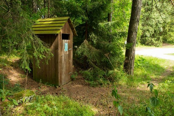
dry toilet |
| Water |
Non-drinking water from the river |
| Hiking options |
Altja nature and culture historical trail (5 km from the campfire site) |
| Sights | Forests and beaches at Mustoja and Vainupea, Vihula Manor (4,5 km), Altja Village (5 km) |
| Additional information |
|
| Restrictions |
The trail is situated in Lahemaa National Park, view the restrictions on visiting here. Additional information from the Environmental Board: +372 662 5999, info@keskkonnaamet.ee.
|
| Location | Mustoja, Haljala Municipality, Lääne-Viru County Object no 5 on the national park map |
| Driving directions | Drive 70 km from Tallinn towards Narva (E20), turn Võsu, Palmse direction onto Viitna–Koljaku road and drive 6.5 km to Palmse village, turn right towards
Sagadi (sign 6 km
to Sagadi). Drive on Palmse–Sagadi road, cross Rakvere–Haljala road (sign 2.5 km to Sagadi manor) and
drive to Sagadi Manor. Turn left there (sign 5 km to the Altja fishing
village), drive 5 km
on Sagadi–Altja road and turn right at the Altja–Vihula junction. Drive 800 m to the Sipa bus stop and
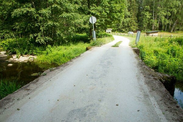
turn onto the road on the left. Drive 3.5 km through Mustoja village and cross the Mustoja
River.
The campfire site is to the right of the road. |
| Geographic coordinates | Long-Lat WGS 84 latitude: 59.582502 longitude: 26.175076 |
| L-EST 97 x: 6606999 y: 622881 |