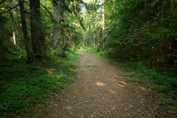
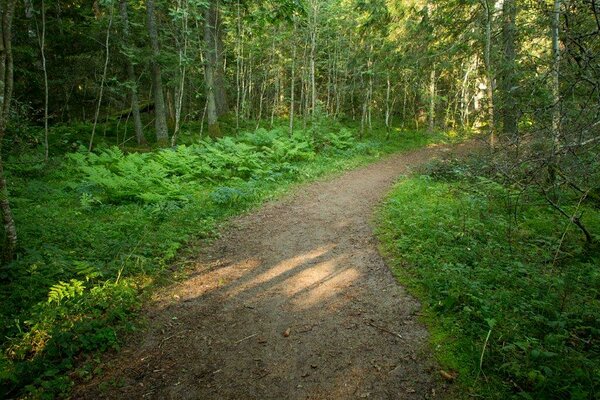
Käsmu hiking trail (15 km)
Lääne-Viru County, Lahemaa National Park
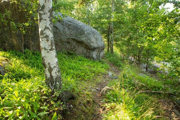
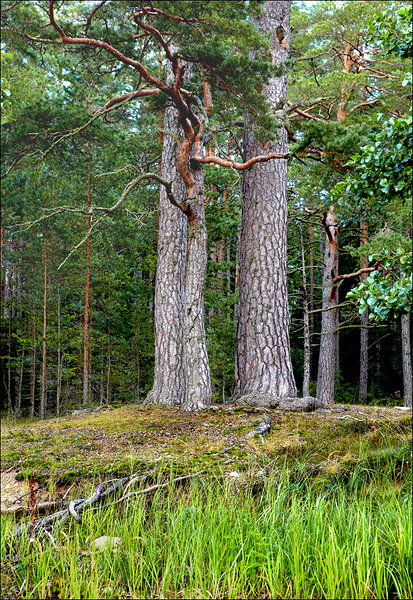
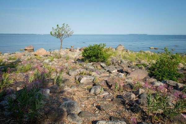
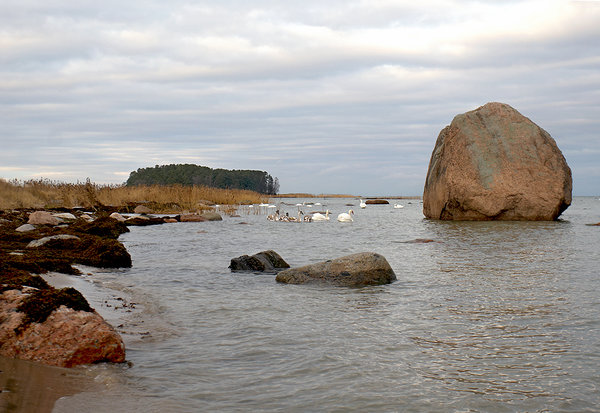
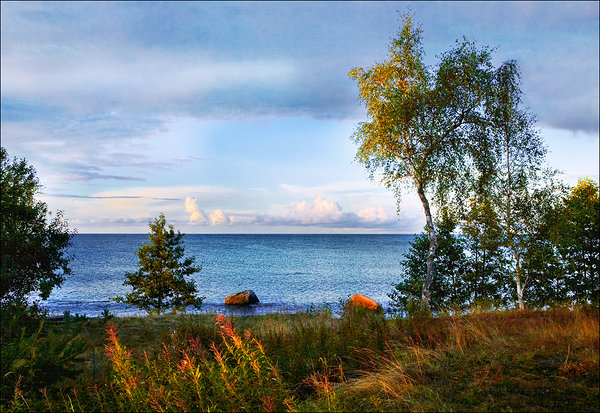
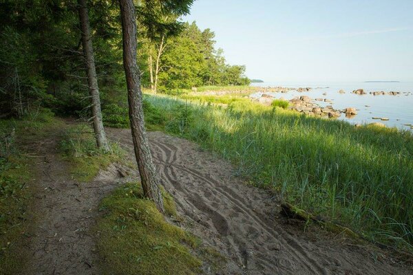
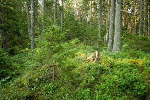
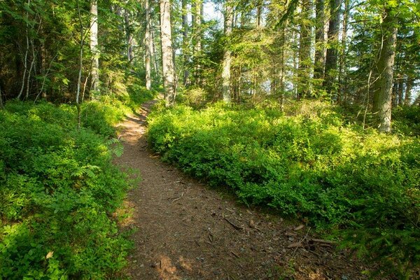
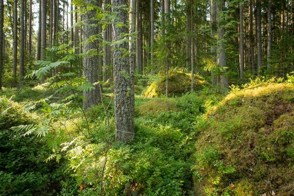
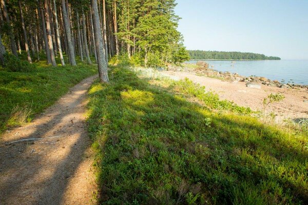
The hiking trail makes the circle around the peninsula, 10 km of it run along the coastline where the forest and sea meet.
| Phone | +372 676 7010 +372 329 5555 |
|
info.oandu@rmk.ee
info.lahemaa@rmk.ee | |
| Type of object | Hiking trail |
| Parking facilities | Parking
next to the chapel and at the end of the village |
| Amenities | Information boards, indication, waste bin, DC |
| Camping facilities | There is no free campsite in Käsmu! The nearest is Võsu campsite (8 km). |
| Hiking options | Käsmu cycling trail (11,6 km), Käsmu nature and culture historical trail (4,2 km) |
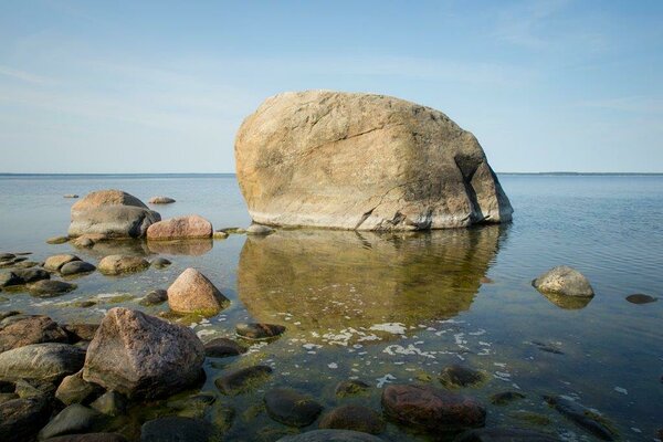
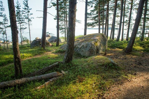
| Sights | Erratic
boulders called Meremunk (“Sea monk”) and Metsamunk (“Forest munk”) on the foot
of Palganeeme cape, a row of black alders along the high water level, wonderful
beaches with individual names: Ristikivirand, Väheliivu, Suureliivu, Tiirneem
peninsula, Lake Käsmu, Järvekael neck, Kapteniküla village, cemetery, chapel. |
| Additional information |
|
| Restrictions |
The trail is situated in Lahemaa National Park, view the restrictions on visiting here. Additional information from the Environmental Board: +372 662 5999, info@keskkonnaamet.ee.
|
| Location | Käsmu, Haljala Municipality, Lääne-Viru County Object no 12 on the national park map |
| Driving directions | Drive
50 km on Tallinn–Narva road (E20), turn left to Liiapeksi–Loksa road, drive 11 km and
turn right onto Võsu–Kotka road, drive 12 km and turn left onto Haljala–Käsmu
road, drive 4 km and turn left onto Neeme road, drive 30 m and arrive at the
Käsmu cemetery and chapel, where the trails start. |
| Geographic coordinates | Long-Lat WGS 84 latitude: 59.602650 longitude: 25.917056 |
| L-EST 97 x: 6608797.9 y: 608244.3 |

Click on
the map to download it.
(The file is large, the download might take a few minutes.
_block.jpg)