Rebäse landscape trail (7 km)
Valga County, Karula National Park
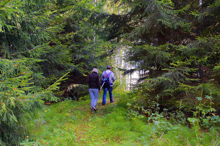
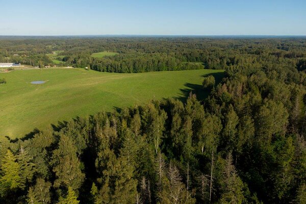
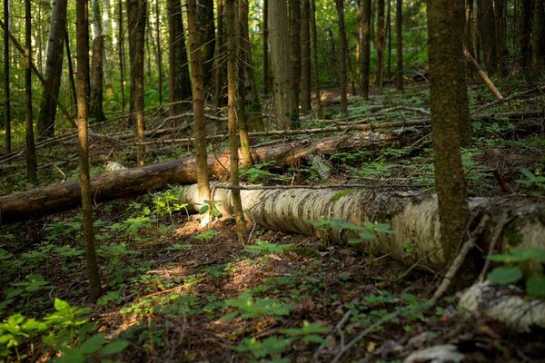
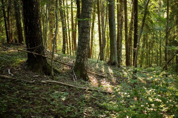
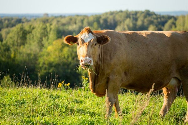
Rebäse landscape trail starts from the parking area of the Tornimäe observation tower near a threshing barn in Rebäse. There are 16 boards with information in Estonian and English along the trail, and a parking area and campsite at the start of the trail. You might need sturdy boots to pass the trail as in rainy weather the trail may be partly muddy and the boardwalk slippery. The trail passes pastures so you might encounter curious but generally friendly cows on your way.
Hikers can climb up the local “Mount Ararat” (103.1 m above sea level), admire Lake Raudjärv with its ice-cold water and pass the oldest farmstead, established in 1585, in the area. The trail also passes the Linnamägi hill with traces of settlement from Early Iron Age, a new beaver habitat and wild boar feeding sites.
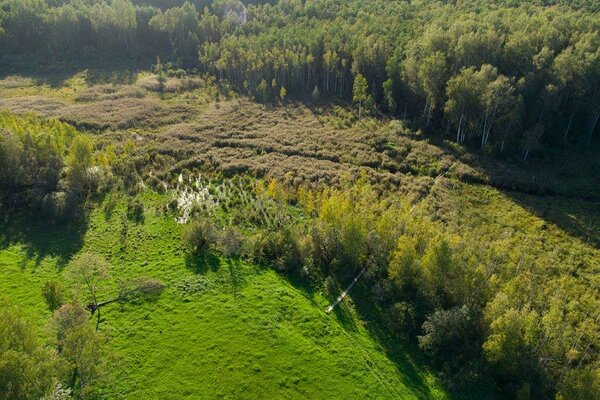
Up on the slope of the Tornimägi hill, hikers can admire the largest gullies of Karula upland in the shade of a thicket. The gully is a wonderful sight in early spring when snowdrop anemones are in full bloom.
You can also make a detour and visit the Rebäse threshing barn, the fieldstone building near the parking area and the local manor’s bench-shaped flogging stone built into the rear wall.
Hikers can climb up the local “Mount Ararat” (103.1 m above sea level), admire Lake Raudjärv with its ice-cold water and pass the oldest farmstead, established in 1585, in the area. The trail also passes the Linnamägi hill with traces of settlement from Early Iron Age, a new beaver habitat and wild boar feeding sites.
Up on the slope of the Tornimägi hill, hikers can admire the largest gullies of Karula upland in the shade of a thicket. The gully is a wonderful sight in early spring when snowdrop anemones are in full bloom.
You can also make a detour and visit the Rebäse threshing barn, the fieldstone building near the parking area and the local manor’s bench-shaped flogging stone built into the rear wall.
| Phone | +372 782 8350 |
|
info.karula@rmk.ee
| |
| Type of object | Study trail |
| Parking facilities | Available |
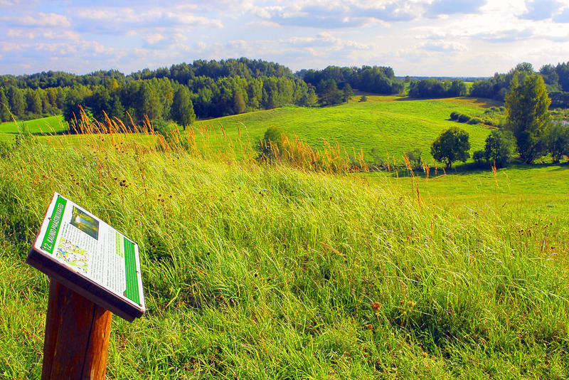
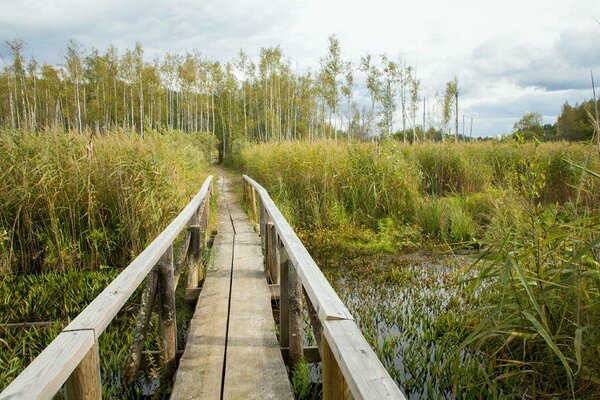
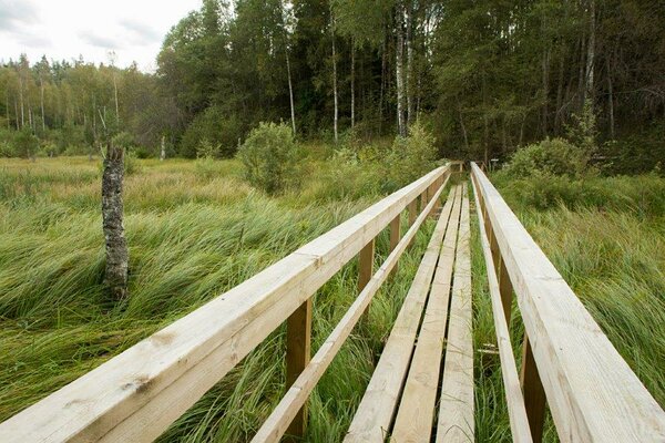
| Amenities | There are 16 information boards, observation deck, piers and pasture gates along the trail. The trail is marked with wooden arrow signs and blazing on trees. |
| Camping facilities |
At the Rebasmõisa campfire site. |
| Campfire site | Fire ring with a grill. |
| Hiking options |
by walking |
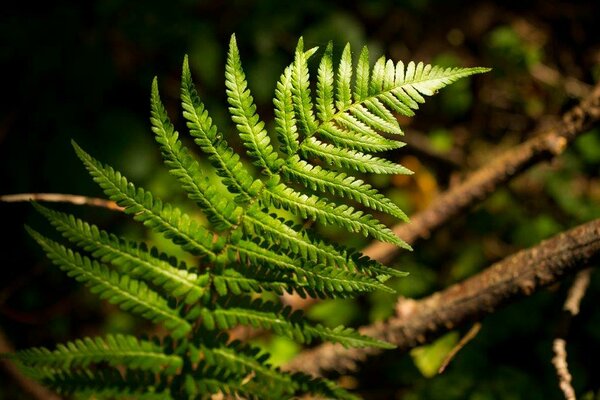
| Sights | The nature, history and cultural heritage of the region. |
| Additional information |
|
| Restrictions | The trail is situated in Karula National Park, about restrictions please read here. Further information can be obtained from the Environmental Board (+372 662 5999, info@keskkonnaamet.ee). |
| Location | Rebasemõisa village, Valga municipality. Object no 19 on the national park map. |
| Driving directions | Drive 8 km from Antsla towards Haabsaare, turn right 50 m after the Haabsaare bus stop (signs “Karula rahvuspargi külastuskeskus 7 km”, “Saru 20 km”). Drive 1.5 km on Haabsaare–Saru road to the junction. Turn right (sign “Valga 32 km”). Drive 5.6 km on Valga–Lüllemäe–Litsmetsa road and turn left after the Rebasemõisa bus stop and then right immediately. Drive to the parking area of the Rebasemõisa observation tower, which marks the start of the trail. |
| Geographic coordinates | Long-Lat WGS 84 latitude: 57.744427 longitude: 26.417718 |
| L-EST 97 x: 6402864.3 y: 643961.4 |