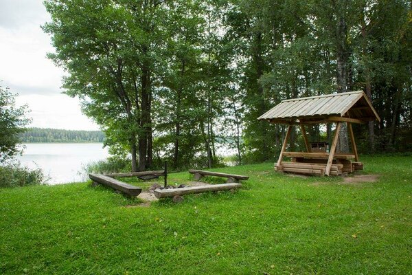
Plaagi campfire site
Valga County, Karula National Park
It is a nice stop for fishermen and a resting site for hikers on a long hike.
| Phone | +372 782 8350 |
|
info.karula@rmk.ee
| |
| Type of object | Campfire site |
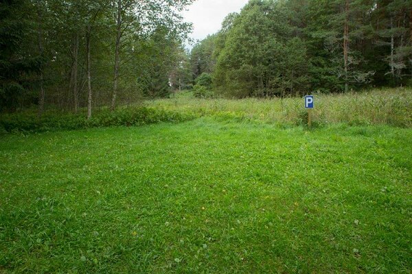
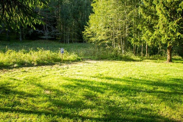
| Parking facilities | For 3 cars. |
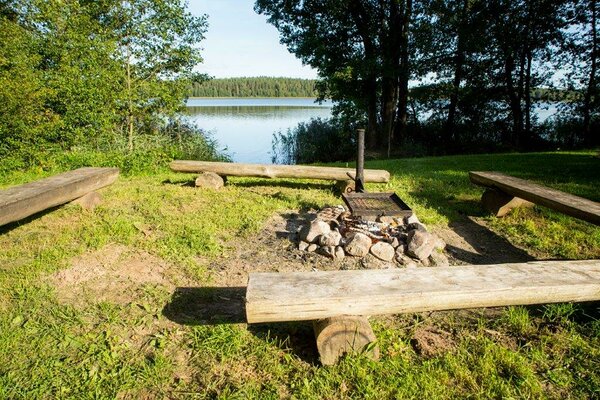
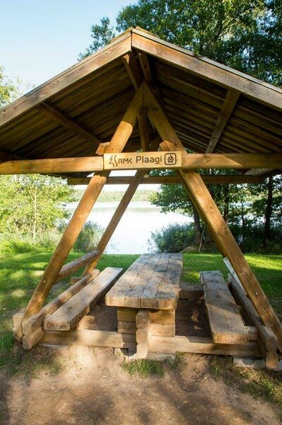
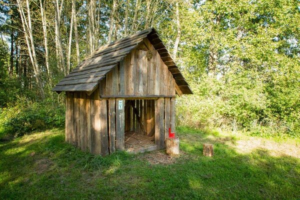
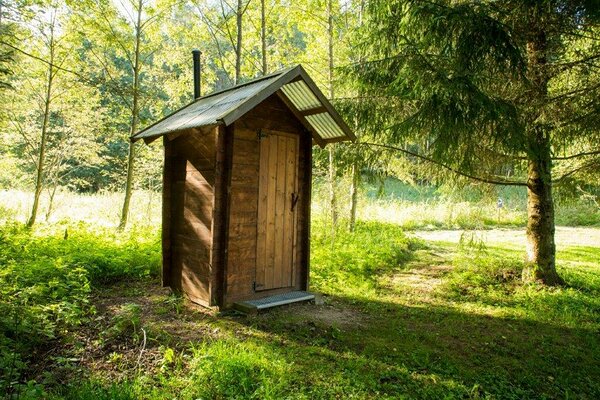
| Amenities | Information board, fire ring, dry toilet, 2 benches, firewood shelter, waste sorting bin. |
| Camping facilities |
The maximum number of tents (for 4) allowed is 5. |
| Campfire site | Fire ring with a grill. |
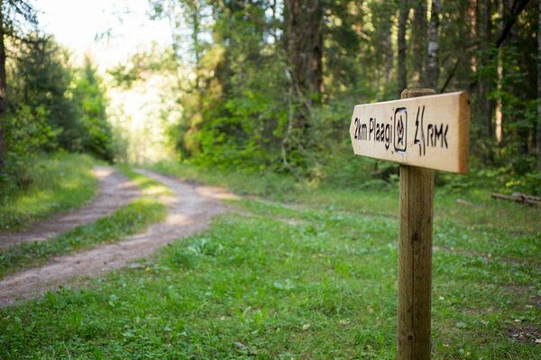
| Hiking options |
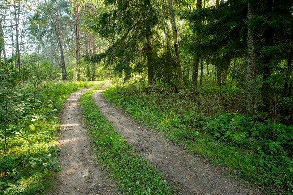
The campfire site is on the long Karula hiking trail. |
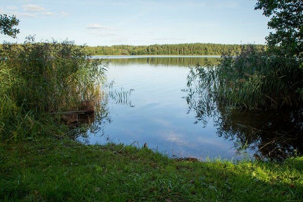
| Sights | Lake Ähijärv, landscapes, old forests with rich biodiversity. |
| Berries and mushrooms | Bilberries, mushrooms |
| Additional information |
Before going on a nature walk please read the Environmental code of conduct (freedom to roam), rules of conduct and waste-sorting policy
|
| Restrictions | The campfire site is situated in Karula National Park, about restrictions please read here. Further information can be obtained from the Environmental Board (+372 662 5999, info@keskkonnaamet.ee). |
| Location | On the western shore of Lake Ähijärv in Rebasemõisa village, Valga municipality, Valga County. Object no 13 on the national park map. |
| Driving directions | Drive 8 km from Antsla towards Haabsaare, turn right 50 m after the Haabsaare bus stop (signs “Karula rahvuspargi külastuskeskus 7 km”, “Saru 20 km”). Drive 1.5 km on Haabsaare–Saru road to the junction. Turn right (sign “Valga 32 km”), drive 5.6 km on Valga–Lüllemäe–Litsmetsa road and turn left after the Rebasemõisa bus stop (sign “Kolski 6”). Drive 6 km on Koobassaare–Rebasemõisa road and turn left 200 m after the sign to Kolski (sign “Silla 4 km”). Drive 1.2 km on the forest road to the sign pointing to Plaagi. Turn left and drive 2 km to Plaagi campfire site. |
| Geographic coordinates | Long-Lat WGS 84 latitude: 57.70356 longitude: 26.50201 |
| L-EST 97 x: 6398497 y: 649150 |