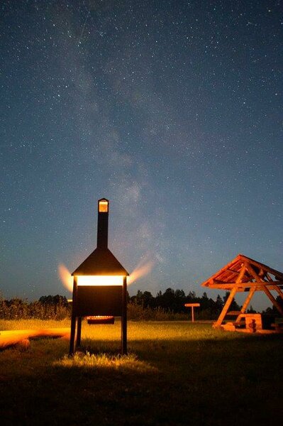
Mäekonnu campfire site
Võru County, Karula National Park
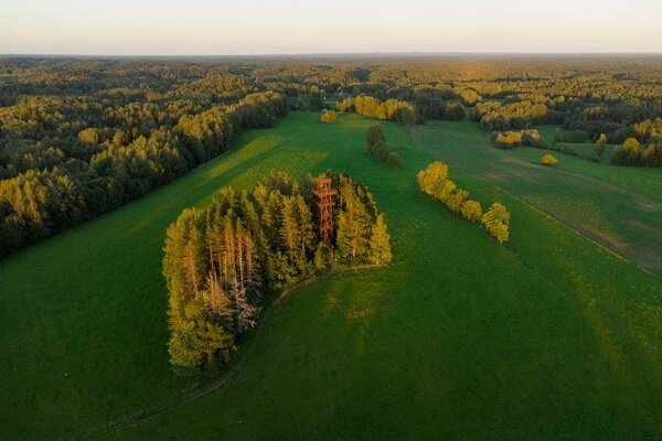
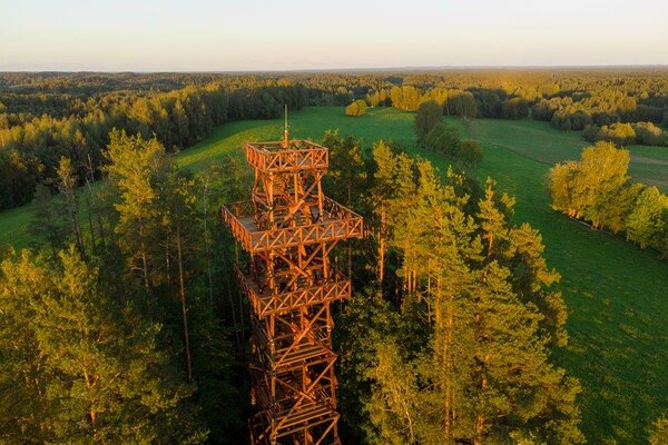
The campfire site is situated in Mähkli village and has an open observation tower nearby.
| Phone | +372 782 8350 |
|
info.karula@rmk.ee
| |
| Type of object | Campfire site |
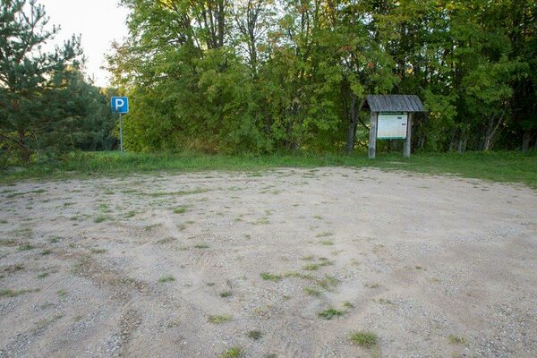
| Parking facilities | Parking for 6 cars. |
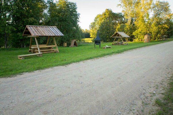
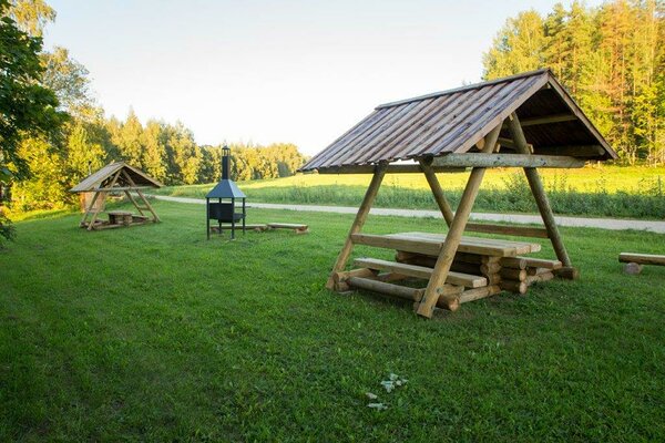
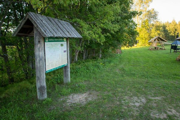
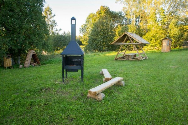
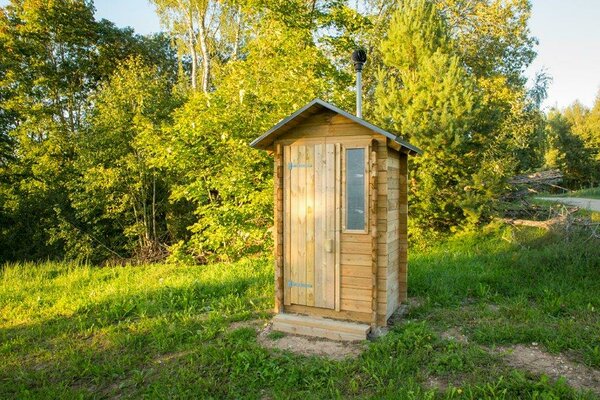
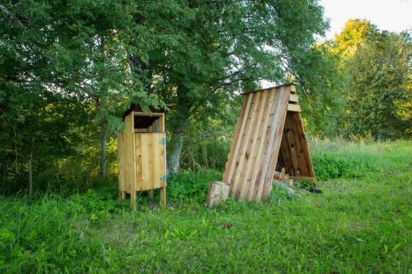
| Amenities | Fire ring, 2-stall dry toilet, 3 picnic shelters, 8 benches, firewood shelter, waste sorting bin and information board. |
| Camping facilities |
The maximum number of tents (for 4) allowed is 2. |
| Campfire site | Fire ring with a grill. |
| Hiking options |
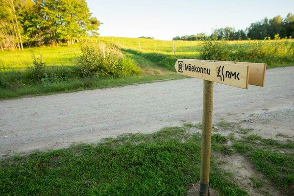
The campfire site marks the beginning of the 15 km long Karula cycling trail and nearby passes the 36 km long Karula hiking trail. |
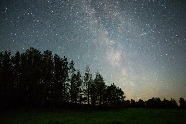
| Sights | Semi-natural landscapes |
| Additional information |
|
| Restrictions | The campfire site is situated in Karula National Park, about restrictions please read here. Further information can be obtained from the Environmental Board (+372 662 5999, info@keskkonnaamet.ee). |
| Location | Mähkli village, Antsla municipality. Object no 6 on the national park map. |
| Driving directions | Drive 8 km from Antsla towards Haabsaare, turn right 50 m after the Haabsaare bus stop (signs “Karula rahvuspargi külastuskeskus 7 km”, “Saru 20 km”). Drive 3.2 km on Haabsaare–Saru road to the sign “Mäekonnu vaatetorn 1 km”. Drive 1 km to the parking area of the Mäekonnu observation tower. The campfire site is next to the parking area. |
| Geographic coordinates | Long-Lat WGS 84 latitude: 57.73335 longitude: 26.48853 |
| L-EST 97 x: 6401792 y: 648231 |