Alakonnu campfire site
Võru County, Karula National Park
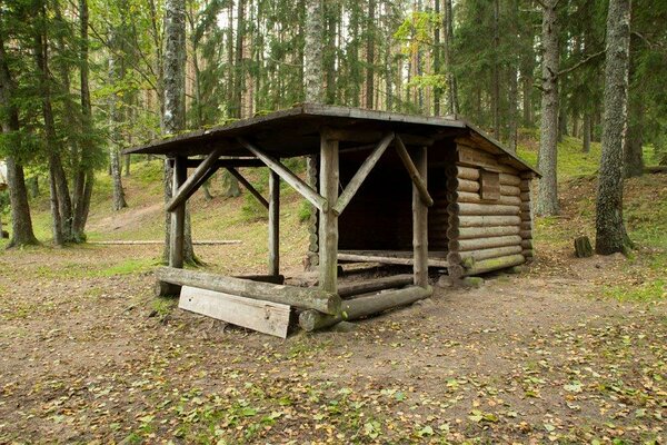
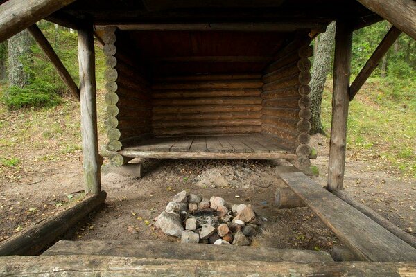
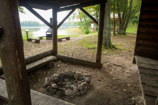
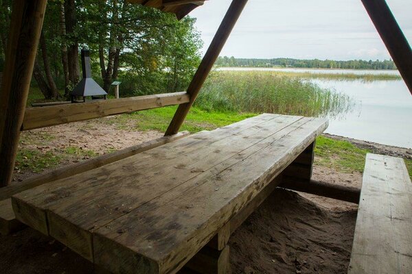
The campfire site is situated on the shore of Lake Ähijärv. A wonderful place for holiday-makers and fishermen. In rainy weather you can make campfire comfortably under a wooden shelter.
| Phone | +372 782 8350 |
|
info.karula@rmk.ee
| |
| Type of object | Campfire site |
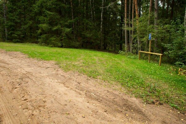
| Parking facilities | Parking for 6 cars. |
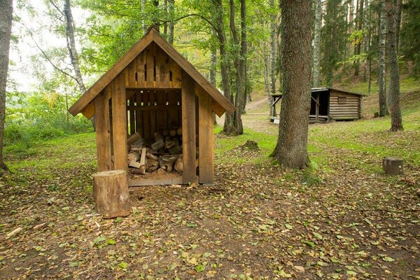
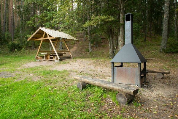
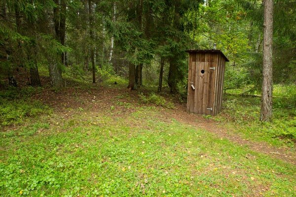
| Amenities | Information board, outdoor fireplace, dry toilet, waste sorting bin, firewood shelter, 3 benches, picnic table, shelter. |
| Camping facilities |
The maximum number of tents (for 4) allowed is 6. |
| Outdoor fireplace | yes |
| Campfire site | Fire ring with a grill. |
| Hiking options |
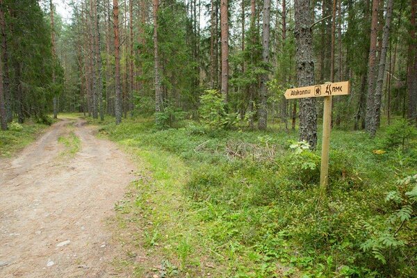
About half a kilometre from the campfire site start the 4 km long Lake Ähijärv (study) trail and the 36 km long Karula hiking trail. |
| Sights | Lake Ähijärv, forests with rich biodiversity, landscapes. |
| Berries and mushrooms | Bilberries, mushrooms |
| Additional information |
|
| Restrictions | The campfire site is situated in Karula National Park, about restrictions please read here. Further information can be obtained from the Environmental Board (+372 662 5999, info@keskkonnaamet.ee). |
| Location | Ähijärve village, Antsla municipality. Object no 5 on the national park map. |
| Driving directions | Drive 8 km from Antsla towards Haabsaare, turn right 50 m after the Haabsaare bus stop (signs “Karula rahvuspargi külastuskeskus 7 km”, “Saru 20 km”). Drive 5 km on Haabsaare–Saru road to the Saarjärve bus stop. Drive 200 m and turn right (sign “Alakonnu”). Drive 1.6 km along the forest path to the wooden sign “Alakonnu lõkkekoht” points to the left. Follow the small path to the left 200 m downhill and arrive at the campfire site. |
| Geographic coordinates | Long-Lat WGS 84 latitude: 57.71769 longitude: 26.49314 |
| L-EST 97 x: 6400050 y: 648560 |